
A massive broch (an Iron Age drystone round tower) stands between two steep-sided creeks on Rousay’s west coast. Midhowe Broch is an Iron Age broch, a drystone round tower, set within a defended settlement and later workshop landscape beside Eynhallow Sound.
Its remains preserve both domestic and industrial life. Excavations in the early 1930s found grain-processing tools, spinning and weaving equipment, bronzeworking evidence, a Roman bronze-vessel fragment, a water tank, hearth fittings, and neighbouring buildings that shifted from houses to workshops.
What follows is drawn from published sources, with each claim labelled by how firmly it is established.
History
Midhowe Broch stands on the west coast of Rousay in Orkney. The broch sits on a narrow promontory between two steep-sided creeks on the north side of Eynhallow Sound.
The name Midhowe reflects its position as the middle of three similar structures close together, and Howe comes from Old Norse haugr, meaning mound or barrow. The broch is part of an ancient settlement, some of which has been lost to coastal erosion.
The broch wall still stands to more than four metres high. The interior is crowded with stone partitions and contains a spring-fed water tank and hearth with possible roasting-spit sockets.
Other buildings surround the broch, and a narrow entrance gives access to the defended settlement. Some adjacent houses later became workshops, and one retains an iron-smelting hearth.
The broch and surrounding buildings were excavated between 1930 and 1933 and then taken into guardianship. Excavations recovered stone and bone tools linked to grain processing, spinning, and weaving.
Crucible and mould fragments showed bronzeworking, and a fragment from a Roman bronze vessel was also found. Many artefacts are now displayed at the Broch of Gurness.
Connections
-
Midhowe Chambered Cairn
A large Neolithic chambered cairn stands a short distance to the south-east.
What to look for
-
Promontory setting
The broch occupies a narrow point between two creeks.
-
Workshop remains
Adjacent buildings later served as workshops, including one with an iron-smelting hearth.
Plan your visit
- Location
- 59.1574°N · 3.1003°W
- Access
- Open access
- Terrain
- Moderate walking
Opening & admission
The source pack does not provide reliable current admission details; verify before travelling.
- The broch is on a narrow promontory between steep-sided creeks and was taken into guardianship.
Nearby places
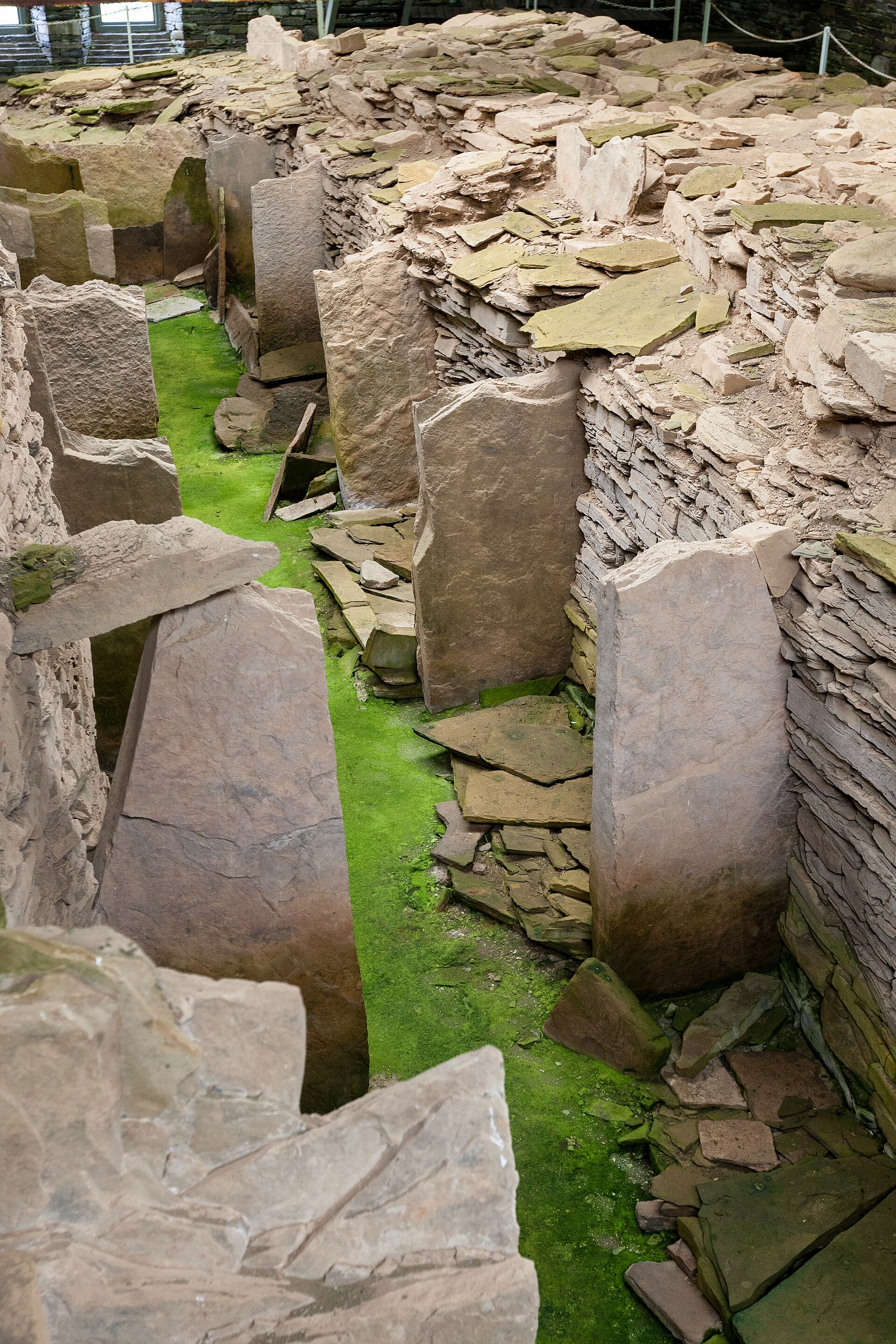
Tomb or burial place · Prehistoric
Midhowe Chambered Cairn
Orkney Islands
Midhowe is a Neolithic 'stalled' chambered cairn of the Orkney-Cromarty type, on the south shore of Rousay, Orkney. The cairn appears to have been…
- Near Rousay
- 10 min walk from car park
- Easy path
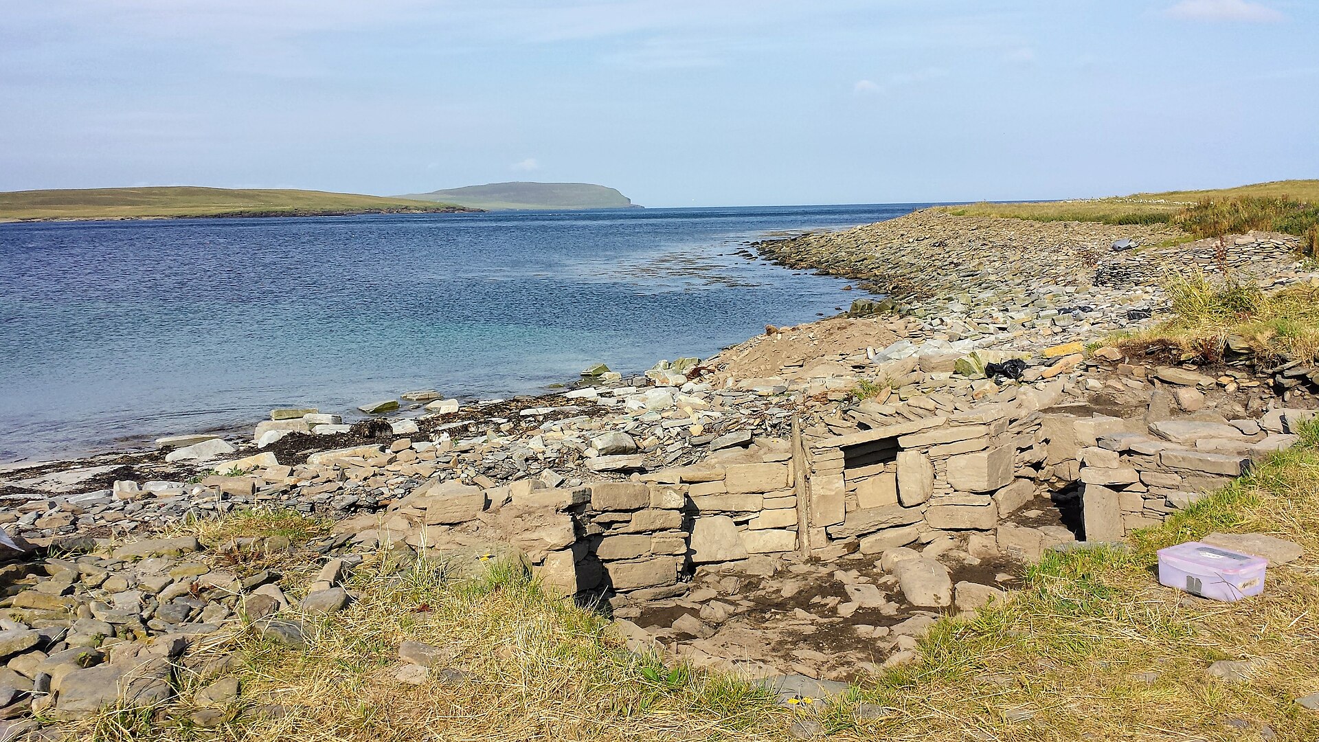
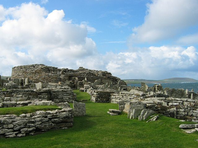
Settlement · Prehistoric
Broch of Gurness
Orkney Islands
Settlement on the site began sometime between 500 and 200 BC, when an Iron Age community raised a stone broch tower — once probably around 10 metre…
- Near Evie
- 141 metres from car park
- Some walking
Questions people ask
- What is Midhowe Broch?
- It is an Iron Age broch on Rousay’s west coast in Orkney.
- Why is it called Midhowe?
- It is the middle of three similar structures nearby, and Howe comes from Old Norse haugr, meaning mound or barrow.
- What survives inside?
- Stone partitions, a spring-fed water tank, and a hearth with possible spit sockets are recorded.
- What did excavations find?
- Finds included grain-processing tools, spinning and weaving tools, bronzeworking debris, and a Roman bronze-vessel fragment.
Sources
- Wikipedia article
- Source pack: Midhowe Broch
Explore more: Fortified places · Iron Age · Orkney Islands
The Ancient Codex, in your pocket
Get the Pocket Codex app
Carry the directory with you — Midhowe Broch and thousands of ancient places across Britain and Ireland, offline, wherever you roam.