
Tomb or burial place · Prehistoric · Orkney Islands
Rousay
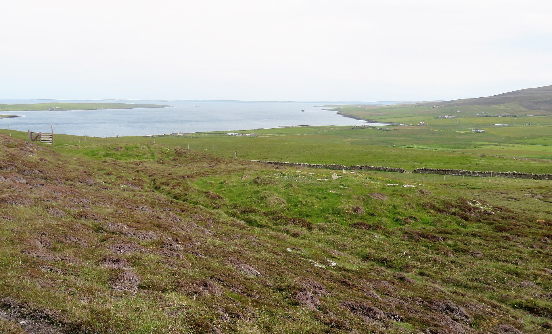
Hills, shore roads, tombs, brochs, and Norse place-names give Rousay its archaeological nickname. Rousay is a small Orkney island known as the “Egypt of the north” because of its dense and varied heritage.
The island entry is broader than a single monument, so the page highlights the cultural landscape. Neolithic settlements, Bronze Age burnt mounds, Iron Age crannogs and brochs, Viking boat burials, medieval remains, clearances, folklore, wildlife designations, and modern ferry links all sit within one compact island story.
What follows is drawn from published sources, with each claim labelled by how firmly it is established.
History
Rousay lies north of Mainland Orkney across Eynhallow Sound.
The island can be reached by the ro-ro ferry MV Eynhallow from Tingwall.
Rousay had a population of 236 in the 2022 census.
More than 100 archaeological sites have been identified on the island.
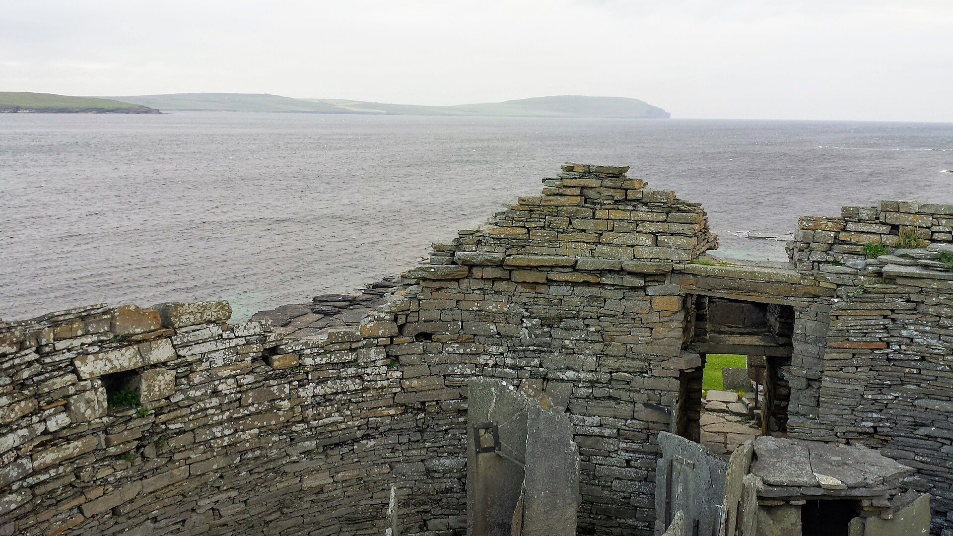
The island includes Neolithic settlement, Bronze Age burnt mounds, Iron Age crannogs and brochs, Viking boat burials, medieval church remains, and Trumland House.
Rousay is nicknamed the Egypt of the north because of its archaeological diversity and importance.
Land clearances under George William Traill in the 1820s and 1830s displaced many crofters.
The Yetnasteen stone is said to revive every New Year at midnight and go to the Loch of Scockness to drink.
People
-
George William Traill
landowner whose nineteenth-century clearances displaced crofters.
-
Edwin Muir
poet who recalled General Traill-Burroughs in a memoir of his childhood.
What to look for
-
Archaeological density
More than 100 sites are identified on the island.
-
West-shore cluster
Several major tombs and brochs are linked by a footpath near the western shore.
What is said
Folklore and tradition, recorded as what is said — not as established fact.
-
The Yetnasteen stone is said to revive every New Year at midnight and visit the Loch of Scockness to drink.
Plan your visit
- Location
- 59.1667°N · 3.0333°W
- Access
- Open access
- Terrain
- Moderate walking
Opening & admission
The source pack does not provide reliable current admission details; verify before travelling.
- The pack says Rousay is reached by ferry and has a road around the island; individual monuments may have separate access conditions.
Nearby places
Tomb or burial place · Prehistoric
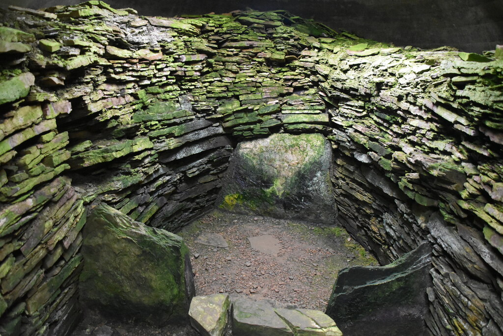
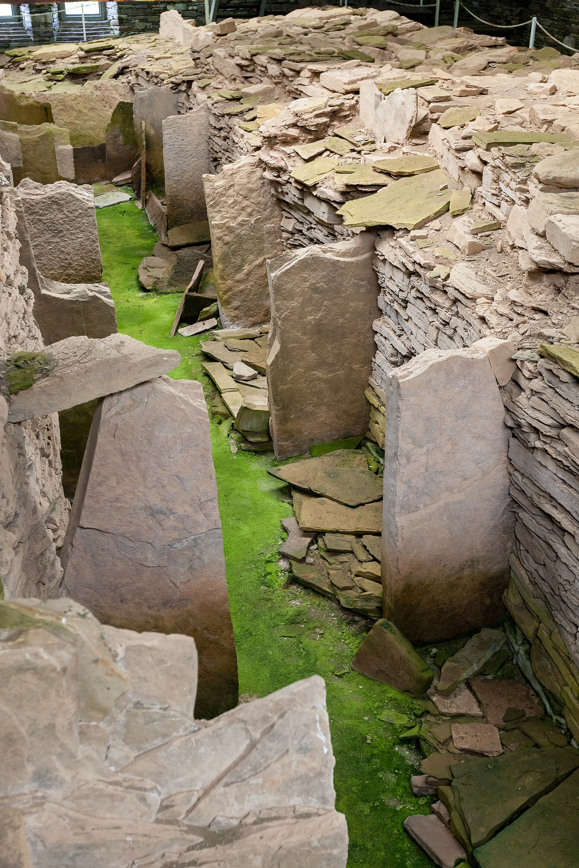
Midhowe Chambered Cairn
Orkney Islands
Midhowe is a Neolithic 'stalled' chambered cairn of the Orkney-Cromarty type, on the south shore of Rousay, Orkney. The cairn appears to have been…
- Near Rousay
- 10 min walk from car park
- Easy path
Questions people ask
- Why is Rousay called the Egypt of the north?
- The pack says the nickname comes from the island’s archaeological diversity and importance.
- How do people reach Rousay?
- The pack says the MV Eynhallow ro-ro ferry links Rousay with Tingwall and neighbouring islands.
- What archaeology is Rousay known for?
- It has Neolithic settlements and tombs, Bronze Age burnt mounds, Iron Age brochs and crannogs, Viking boat burials, and medieval remains.
- Is there folklore connected with Rousay?
- The Yetnasteen stone is said to revive each New Year at midnight and drink from the Loch of Scockness.
Sources
- Wikipedia article
- Source pack: Rousay
Explore more: Tomb or burial places · Prehistoric · Orkney Islands
The Ancient Codex, in your pocket
Get the Pocket Codex app
Carry the directory with you — Rousay and thousands of ancient places across Britain and Ireland, offline, wherever you roam.