
Settlement on the site began sometime between 500 and 200 BC, when an Iron Age community raised a stone broch tower — once probably around 10 metres high — at the centre of a dense surrounding…
Broch (an Iron Age drystone round tower) of Gurness is a settlement near Evie, Orkney, Scotland.
What follows is drawn from published sources, with each claim labelled by how firmly it is established.
History
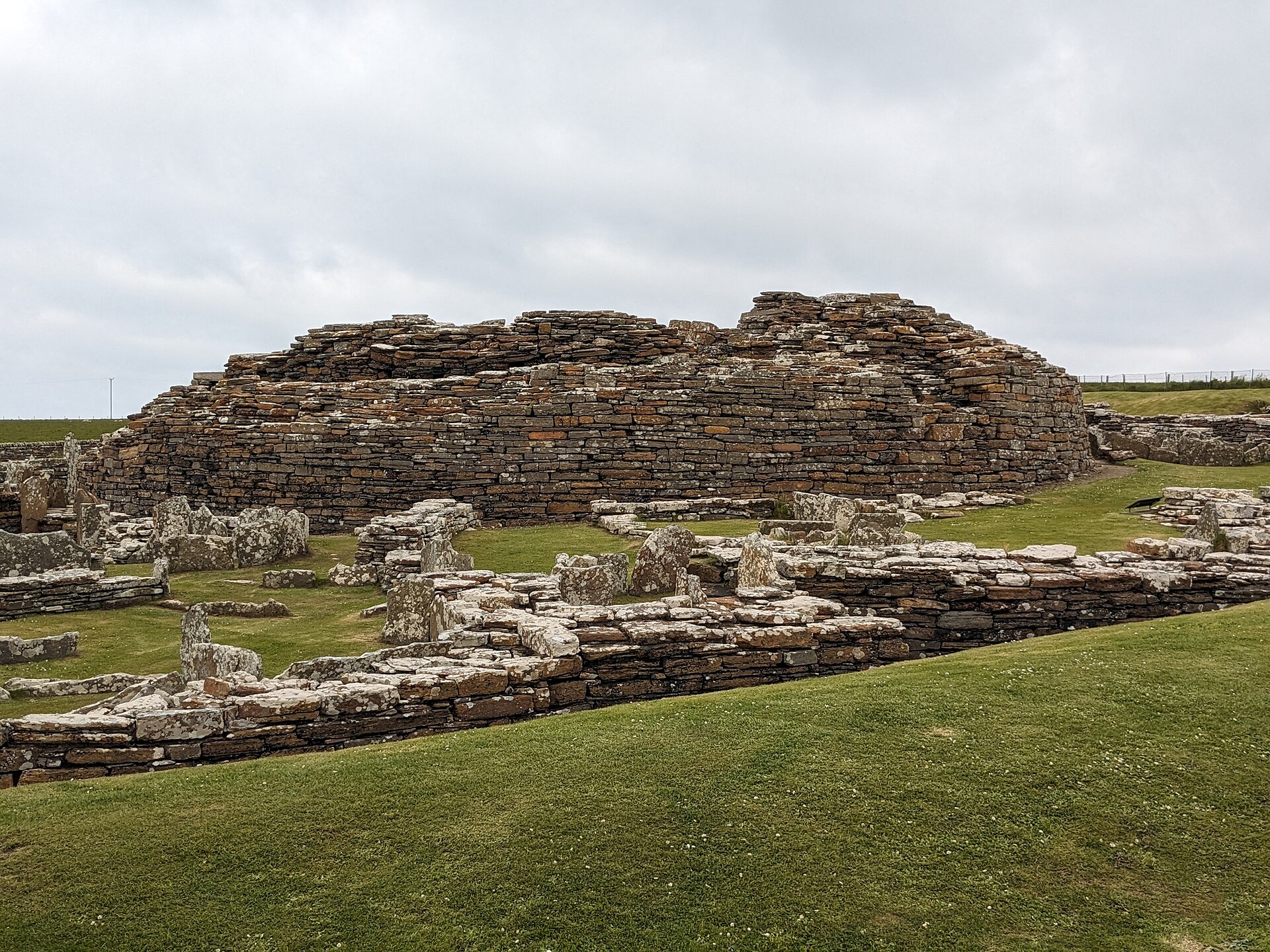
Settlement on the site began sometime between 500 and 200 BC, when an Iron Age community raised a stone broch tower — once probably around 10 metres high — at the centre of a dense surrounding village, with a 'main street' running from the outer entrance to the tower.
Pieces of a Roman amphora dating to before AD 60 were found at the site, which has been linked to the record that a 'King of Orkney' submitted to Emperor Claudius at Colchester in AD 43.
At some point after AD 100 the broch was abandoned and its surrounding ditches were filled in; the tower itself continued to be inhabited while it began to collapse, and the interior was repartitioned — the ruin visible today reflects this secondary phase.
Occupation is thought to have continued into the 5th century AD (Pictish times), after which some of the broch's stones were reused for smaller dwellings; until about the 8th century the site was a single farmstead.
In the 9th century a Norse woman was buried at the site in a stone-lined grave with two bronze brooches and an iron sickle and knife; other finds suggest Norse men were buried here too.
People
-
Robert Rendall
Orkney poet and naturalist who discovered the site in 1929
-
Historic Environment Scotland
Body in whose care the broch now lies
Cultural influences
-
Atlantic Scottish broch-building tradition — a massive drystone tower of two skins of wall with stone-floored galleries between, accessed by steps, with evidence (stone ledges) for an upper timber-floored storey and a thatched roof surrounded by a wall-walk.
-
Iron Age 'cult of the underground' — the broch's subterranean stone cistern, reached by steps, has been thought to carry religious significance, with the set-up compared to that at Mine Howe.
-
Norse Scotland — by the 9th century the site had become a place of Norse burial, marking the later Scandinavian presence in Orkney.
Connections
-
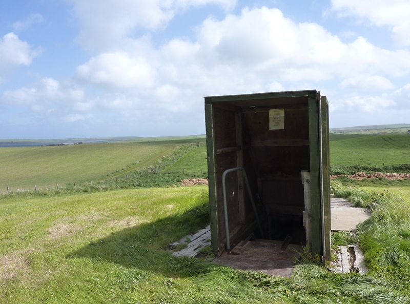
Photo: Otter / Wikimedia Commons / CC BY-SA 3.0 Mine Howe
Comparable Orkney site whose underground stone set-up resembles the Gurness cistern
-
Brough of Birsay
Nearby Orkney monument cross-referenced in the same accounts
-
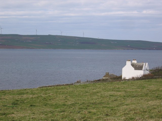
Photo: s allison / Wikimedia Commons / CC BY-SA 2.0 Eynhallow Sound
The stretch of water the broch village overlooks, on the northeast coast of Mainland Orkney
Discovery & excavation
The broch village was discovered in 1929 by the Orkney poet and naturalist Robert Rendall. Finds from the site include pieces of a Roman amphora dating to before AD 60, and from a 9th-century Norse stone-lined grave two bronze brooches together with an iron sickle and knife; other finds suggest further Norse male burials.
In culture
-
Described as the best-preserved of all broch villages, Gurness is a touchstone for understanding how an Iron Age broch sat at the heart of a planned surrounding settlement.
What to look for
-
The central broch tower, its remains up to 3.6 m high with drystone walls up to 4.1 m thick, its interior divided into sections by upright slabs.
-
Two skins of drystone walling with stone-floored galleries between them, reached by steps.
-
The subterranean stone cistern with steps leading down into it, and the broch's two hearths.
-
The surrounding village of numerous small stone dwellings with yards and sheds, set between the inner ditch and the tower, served by a 'main street' from the outer entrance.
-
Three rock-cut ditches with stone ramparts encircling an area roughly 45 m in diameter.
Plan your visit
- Location
- 59.1240°N · 3.0817°W
- Nearest settlement
- Evie
- Access
- Paid entry — managed visitor site
- Terrain
- Moderate walking
- Start point
- Aikerness · Evie · Orkney · KW17 2NH · National Grid reference: HY 381 268 · Telephone: 01856 751 414 · The roads around the Broch of Gurness are not suitable for coaches. Minibuses up to 22 seats can be accommodated.
- Best time
- 1 April to 30 September: Daily, 10am to last entry at 4pm (closes 4.30pm). Closed for lunch 12.30pm to 1pm. _Opening times and admission prices are subject to change._ Opening times 1 Apr to 30 Sept: Daily, 10am to last entry at 4pm (closes 4.30pm).
- Start point
- Broch of Gurness car park — Historic Environment Scotland car park immediately beside the monument; postcode KW17 2NH and grid HY 381 268 are from the official HES getting-here page.
- Sat-nav
- KW17 2NH
Opening & admission
Free entry
- 1 April to 30 September: Daily, 10am to last entry at 4pm (closes 4.30pm).
- Closed for lunch 12.30pm to 1pm.
- _Opening times and admission prices are subject to change._ Opening times 1 Apr to 30 Sept: Daily, 10am to last entry at 4pm (closes 4.30pm).
Nearby places
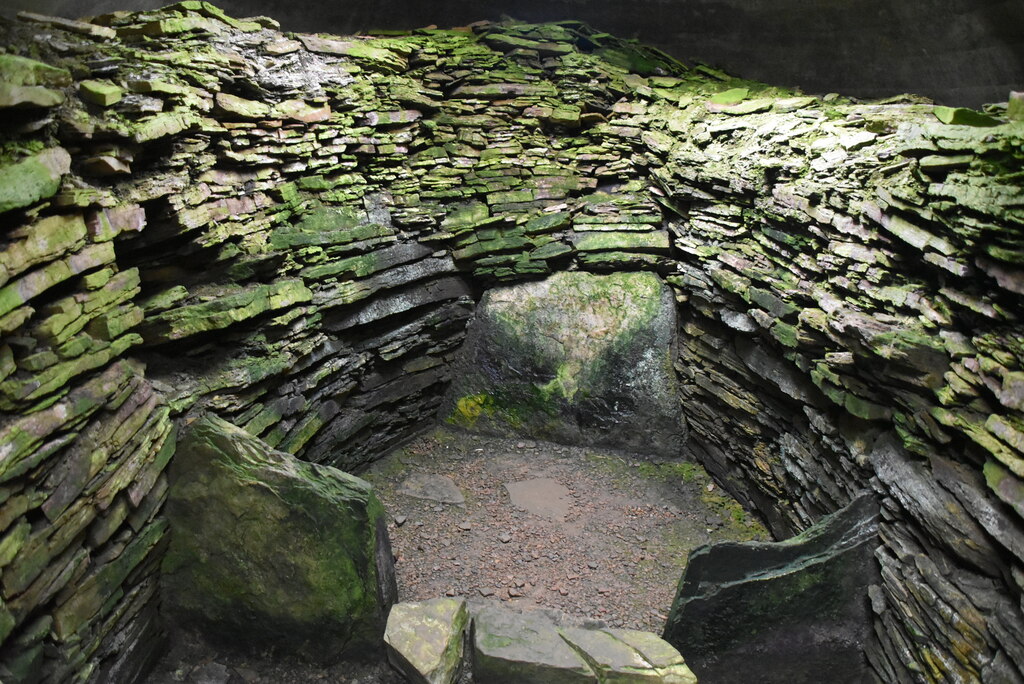
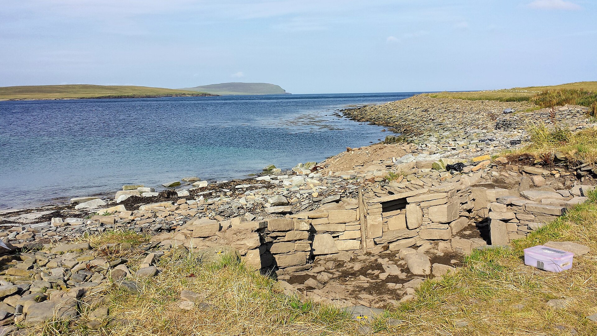
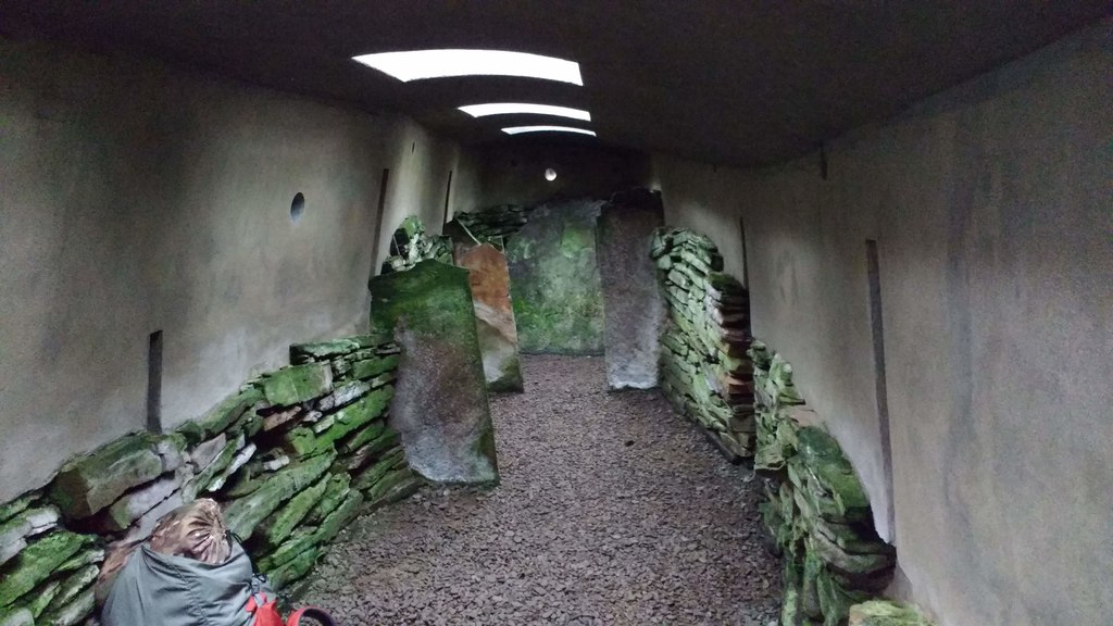
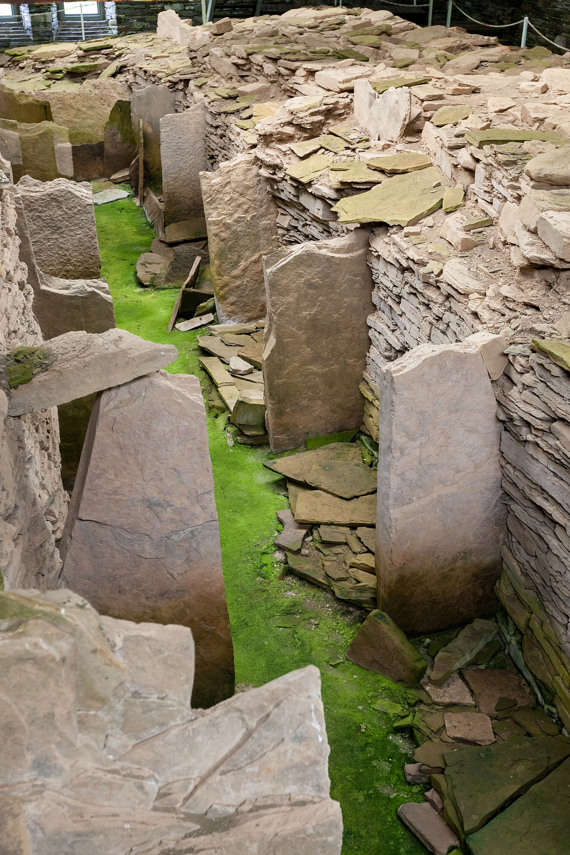
Tomb or burial place · Prehistoric
Midhowe Chambered Cairn
Orkney Islands
Midhowe is a Neolithic 'stalled' chambered cairn of the Orkney-Cromarty type, on the south shore of Rousay, Orkney. The cairn appears to have been…
- Near Rousay
- 10 min walk from car park
- Easy path
Sources
- Canmore site record 2201 (accessed 2026-06-13)
- Wikipedia: Broch of Gurness (accessed 2026-06-13)
- Wikidata Q923355 (accessed 2026-06-13)
Explore more: Settlements · Prehistoric · Orkney Islands
The Ancient Codex, in your pocket
Get the Pocket Codex app
Carry the directory with you — Broch of Gurness and thousands of ancient places across Britain and Ireland, offline, wherever you roam.