
Towpaths, swing bridges and sea locks carry the Crinan Canal between sheltered sea lochs and the Sound of Jura. The canal is a navigable waterway, built so vessels could cross Argyll without making the exposed passage around the Mull of Kintyre.
Opened in 1801, it served fishing boats, sailing vessels, Clyde puffers and later tourist traffic. Today its towpath and locks make the engineering of the route unusually visible from land as well as water.
What follows is drawn from published sources, with each claim labelled by how firmly it is established.
History
The Crinan Canal links Ardrishaig on Loch Gilp with Crinan on the Sound of Jura. It was authorised by the Crinan Canal Act 1793 and designed by John Rennie.
Work began in 1794 and the canal opened in 1801. The first reported vessel in August 1801 carried fish from the Western Isles toward Glasgow.
A bank failure near Lochgilphead in 1805 forced the course to be diverted to avoid marsh. Reservoirs were finished in 1809, but a storm two years later burst one and damaged locks, banks and roads.
Thomas Telford assessed the canal and suggested improvements. Cast-iron swing bridges were installed in 1816.
Queen Victoria travelled the canal to Crinan in 1847, helping make it a tourist route. The Camloch reservoir burst in 1859 and closed through navigation until May 1860.
The steam passenger boat Linnet replaced horse-drawn tourist boats in 1866 and served until 1929. New sea locks were built at both ends in 1930-32 so craft could enter at any tide.
Scottish Canals took over the canal on 2 July 2012. The canal and its Loch a' Bharain feeder reservoir are scheduled monuments.
People
-
John Rennie
Designed the Crinan Canal.
-
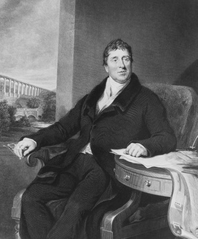
Portrait: The original uploader was Dumelow at English Wikipedia. (Original text / Wikimedia Commons / Public domain Thomas Telford
Assessed the canal and proposed improvements.
-
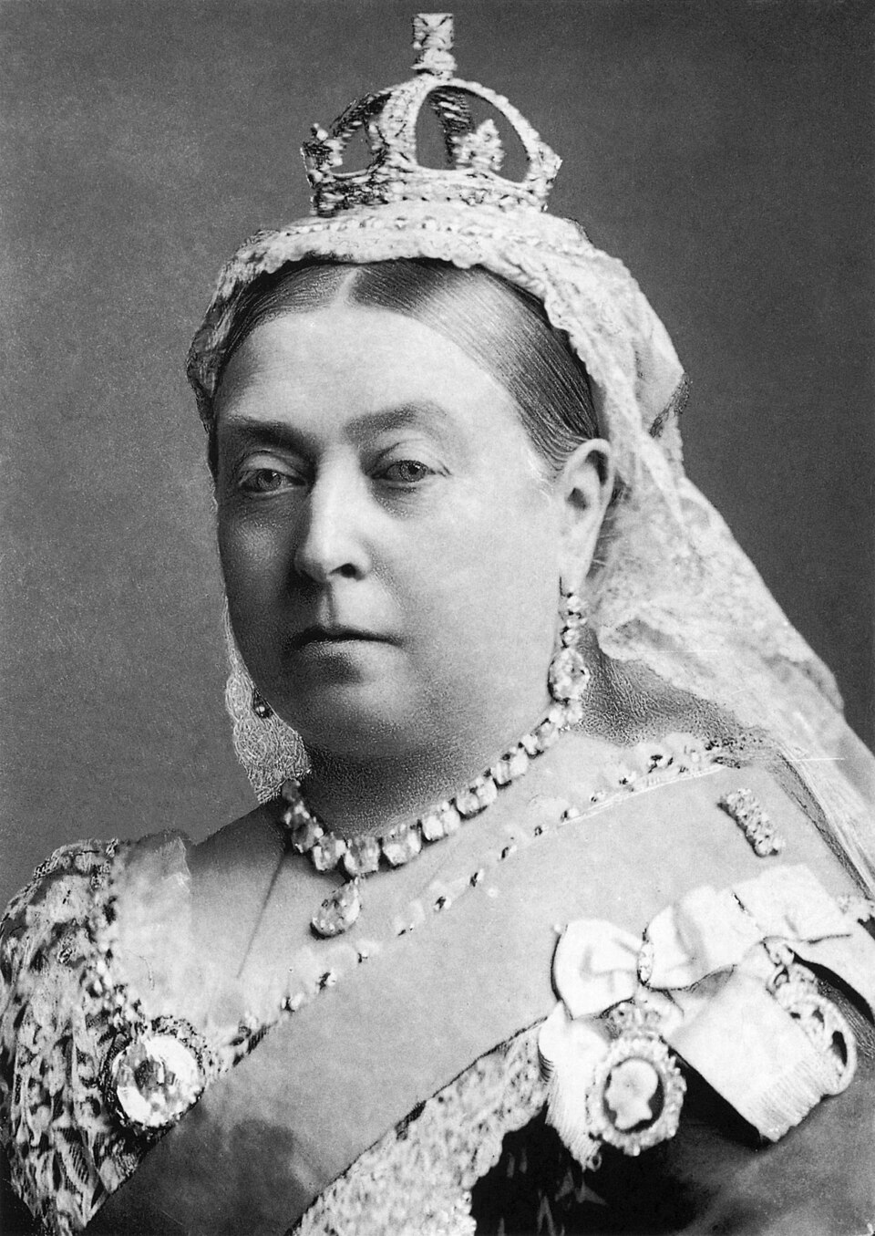
Portrait: Alexander Bassano / Wikimedia Commons / Public domain Queen Victoria
Travelled through the canal in 1847, increasing its tourist appeal.
Connections
-
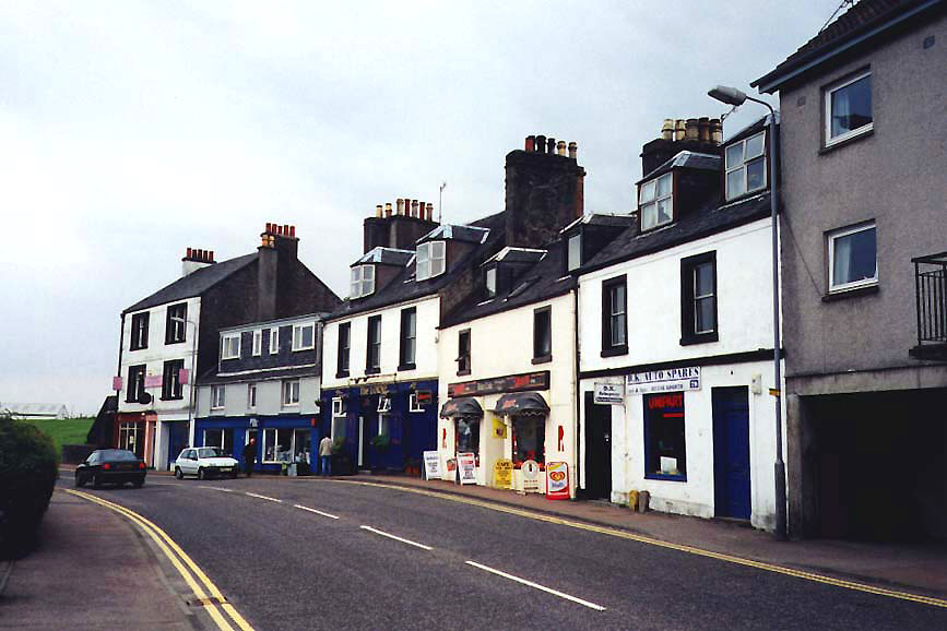
Photo: RobNS at English Wikipedia / Wikimedia Commons / Public domain Ardrishaig
Eastern sea entrance on Loch Gilp.
-
Crinan
Western sea entrance on the Sound of Jura.
-
Mull of Kintyre
The canal let vessels avoid the longer exposed route around it.
-
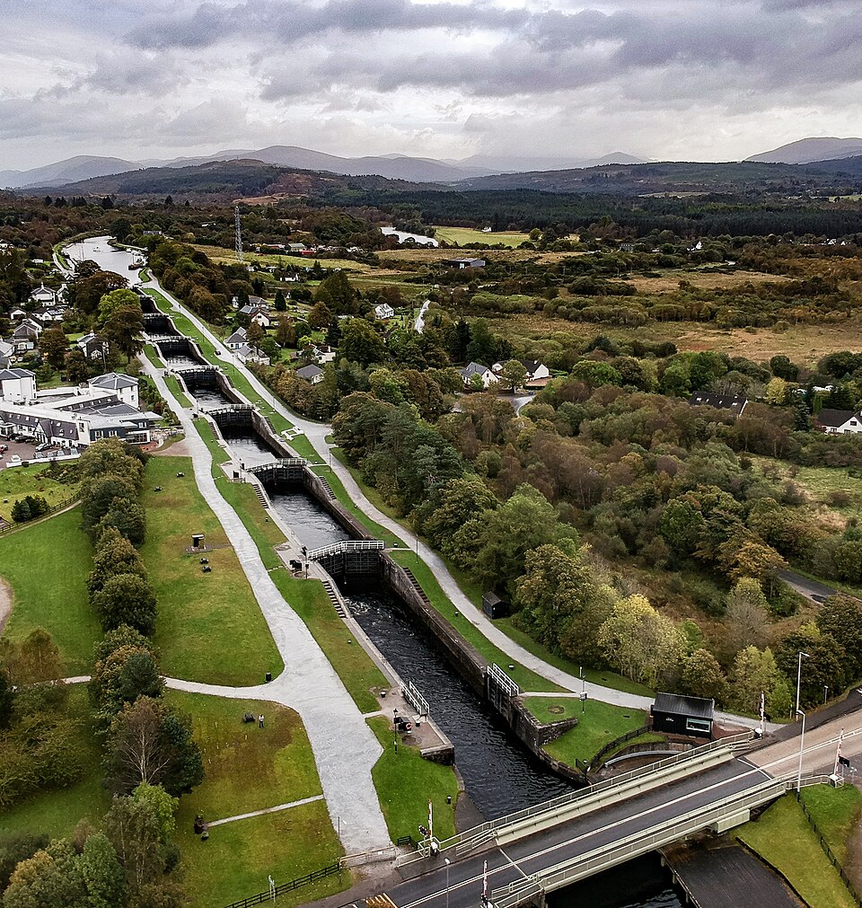
Photo: aeroid / Wikimedia Commons / CC BY-SA 3.0 National Cycle Route 78
The towpath forms part of this route.
-
Scottish Canals
Operates the canal today.
In culture
-
The Vital Spark
The source notes a song about the canal sung by Dan MacPhail in The Vital Spark.
What to look for
-
Locks
The canal has fifteen locks along its route.
-
Swing and retractable bridges
Six swing bridges and one retractable bridge carry roads and paths across the canal.
-
Towpaths
Towpaths run on both sides from Ardrishaig to Crinan Bridge.
-
Sea locks
The 1930-32 sea locks at both ends allow access at any tide.
-
Feeder reservoir
Loch a' Bharain supplied water to the canal and is separately scheduled.
Plan your visit
- Location
- 56.0911°N · 5.5564°W
- Access
- Reached on a public path
- Terrain
- Easy going
Opening & admission
Towpath access noted in source; check Scottish Canals for navigation details
- The towpath forms part of National Cycle Route 78.
- The canal is operated by Scottish Canals and remains a leisure boating route.
Nearby places
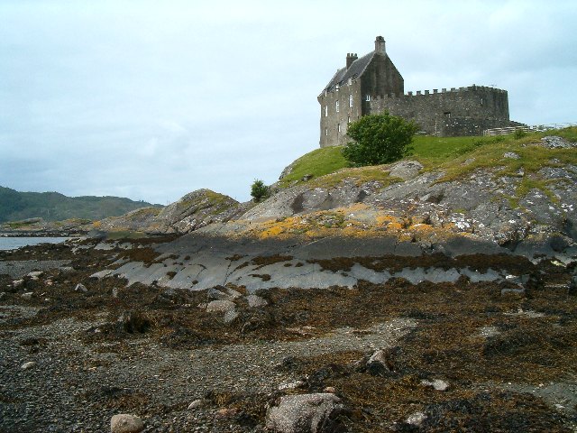
Fortified place · Medieval
Duntrune Castle
Argyll and Bute
By tradition the oldest continuously occupied castle on mainland Scotland, Duntrune joins thirteenth-century MacDougall walls to a seventeenth-cent…
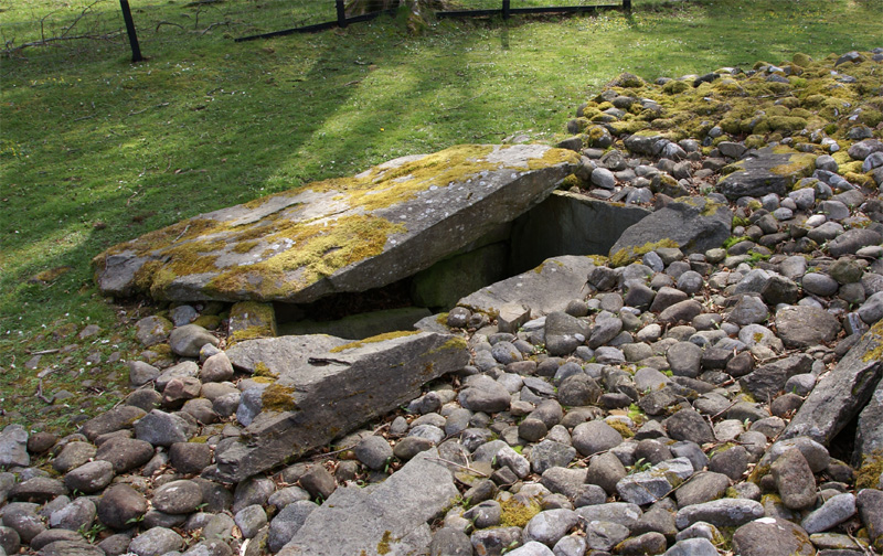
Tomb or burial place · Prehistoric
Ri Cruin Cairn
Argyll and Bute
Ri Cruin is the most southerly cairn in the Kilmartin Glen linear cemetery, a Bronze Age burial cairn built between roughly 2200 BC and 1950 BC.
- Near Kilmartin
- 8 min walk from car park
- Easy path
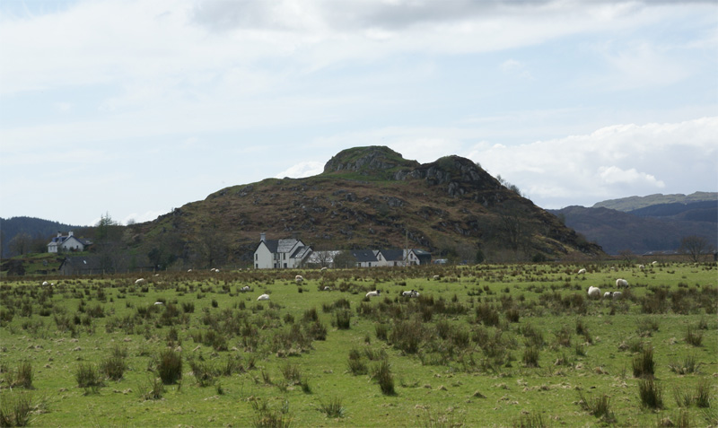
Fortified place · Iron Age
Dunadd Fort
Argyll and Bute
Dunadd is a hillfort in Argyll and Bute, occupied from the Iron Age and into the early medieval period, and believed to have been the capital of th…
- Near Kilmartin
- 237 metres from car park
- Some walking
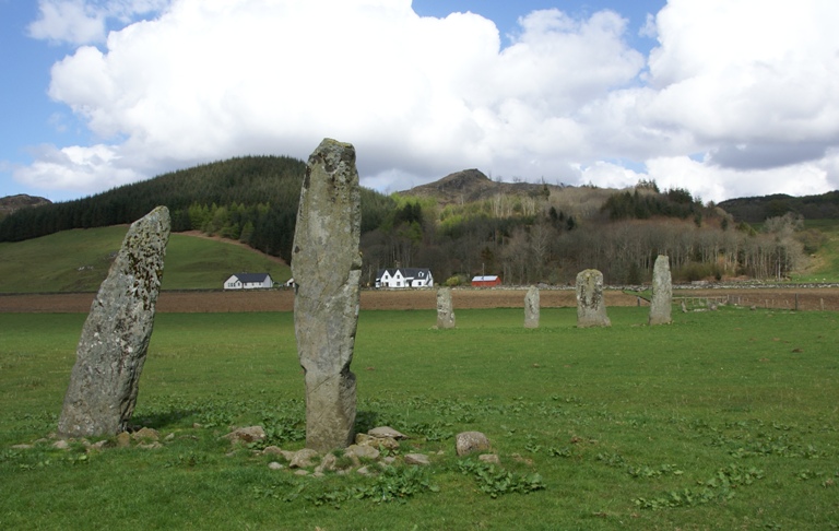
Tomb or burial place · Prehistoric
Ballymeanoch Standing Stones and Henge
Argyll and Bute
Ballymeanoch is a complex of Neolithic structures in Kilmartin Glen: an avenue of two rows of standing stones (of four and two stones), a stone cir…
- Near Kilmartin
- 6 min walk from car park
- Easy path
Questions people ask
- What is the Crinan Canal?
- It is a navigable canal across Argyll, linking Ardrishaig on Loch Gilp with Crinan on the Sound of Jura.
- Why was it built?
- It gave commercial and fishing vessels a shorter route between the Clyde and the Inner Hebrides, avoiding the Mull of Kintyre.
- Who designed the canal?
- John Rennie designed it, and Thomas Telford later assessed and recommended improvements.
- Can you walk or cycle along it?
- The source says the towpath is part of National Cycle Route 78, and towpaths run from Ardrishaig to Crinan Bridge.
Sources
Explore more: Crossing or structures · Medieval · Argyll and Bute
The Ancient Codex, in your pocket
Get the Pocket Codex app
Carry the directory with you — Crinan Canal and thousands of ancient places across Britain and Ireland, offline, wherever you roam.