
A small flat-topped knoll looks north and west across the Ettrick Valley. Oakwood Roman Fort and Camp combines a Roman fort, a permanent military base, with a temporary camp, a short-term marching or construction enclosure.
Oakwood matters because it links visible topography with Roman military planning. Aerial photographs, mid-twentieth-century excavation, pottery, a worn coin, turf ramparts, defensive banks built from earth and turf, timber gates, and a neighbouring work camp reveal a Flavian frontier post watching towards the Eildon Hills and Trimontium.
What follows is drawn from published sources, with each claim labelled by how firmly it is established.
History
The fort and adjacent temporary camp were discovered from aerial photographs in 1949. Excavations took place in 1951-1952. A report by K. A. Steer and R. W. Feachem was published in 1954.
Pottery and a worn coin minted in 69-70 indicate Flavian-period occupation. The fort was probably occupied from Agricola's advance into lowland Scotland until about AD 100. The temporary camp may have housed workers constructing the fort.
People
-
K. A. Steer
Excavated and reported on the site with R. W. Feachem.
-
R. W. Feachem
Excavated and reported on the site with K. A. Steer.
-
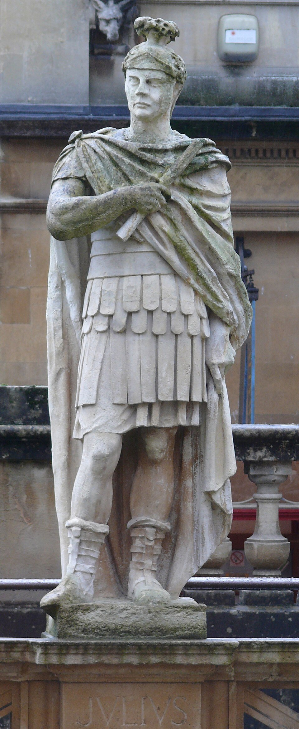
Portrait: Ad Meskens / Wikimedia Commons / CC BY-SA 3.0 Gnaeus Julius Agricola
Roman governor whose advance provides the likely historical setting for the fort.
Connections
-
Trimontium (Newstead)
Roman fort visible in the wider signalling landscape.
-
Eildon Hill
Landmark hill and Roman signal-station area visible from Oakwood.
-
Ettrick Valley
Valley overlooked by the fort.
What to look for
-
Flat-topped knoll
The fort used a small elevated platform with broad views.
-
Turf ramparts
Turf ramparts are defensive banks built from stacked earth and turf.
-
External ditches
Ditches outside the rampart strengthened the fort's defences.
-
Temporary camp
The nearby camp was a large short-term enclosure rather than a permanent fort.
-
Signal view
The Eildon Hills and the area of Trimontium are visible to the northeast.
Plan your visit
- Location
- 55.5150°N · 2.9126°W
- Access
- Open access
- Terrain
- Rough ground — reasonable boots advised
Opening & admission
- Rural Roman earthworks; use responsible access and expect uneven pasture or hill ground.
Nearby places
Fortified place · Medieval
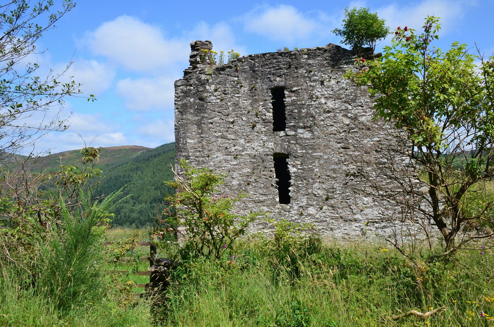
Elibank Castle
Scottish Borders
A late-16th-century Borders fortified house whose Italianate terraced gardens, laid out after the Union of the Crowns, were counted among the grand…
Fortified place · Medieval
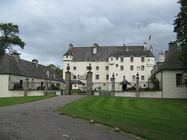
Traquair House
Scottish Borders
Claimed to be the oldest continually inhabited house in Scotland, its walls trace an unbroken line from a medieval royal hunting seat through the S…
Questions people ask
- What is Oakwood Roman Fort and Camp?
- It is a Roman fort with an adjacent temporary camp near Selkirk.
- How was the site discovered?
- The fort and camp were discovered from aerial photographs in 1949.
- When was Oakwood occupied?
- Finds suggest Flavian-period occupation, probably from about AD 81 to around AD 100.
- What was the temporary camp for?
- Its position suggests it may have housed workers constructing the fort.
Sources
Explore more: Fortified places · Roman · Scottish Borders
The Ancient Codex, in your pocket
Get the Pocket Codex app
Carry the directory with you — Oakwood Roman Fort and Camp and thousands of ancient places across Britain and Ireland, offline, wherever you roam.