
A lintelled passage survives on a cliff-top promontory above the sea west of Dounby. The Broch (an Iron Age drystone round tower) of Borwick is an Iron Age broch, a massive drystone round tower, partly lost where erosion has eaten into the western half.
The site keeps the defensive drama of its position. A stream runs just east of the promontory, an outer wall once cut the broch off from flatter land, and excavation by W. G. T. Watt in 1881 found everyday objects beneath rubble, ash, bones, shells, and floor layers.
What follows is drawn from published sources, with each claim labelled by how firmly it is established.
History
The Broch of Borwick stands on Mainland Orkney, south-west of Dounby. It occupies a cliff-top promontory above the sea, with a small stream immediately east of the site.
The broch is a scheduled monument. The eastern half of the broch and the entrance passage are well preserved.
The western half has been destroyed by erosion. The entrance passage remains lintelled and has door-checks formed from edge-set slabs.
A guard cell opens from the right side of the passage. An outer wall once separated the broch from the flat land beyond, with outbuildings between wall and broch.
W. G. T. Watt excavated the site in 1881 and cleared the interior of debris. Finds included combs, a whale vertebra cup, spindle whorl, gaming piece, whetstone, hammerstones, stone knives, choppers, an iron rod, and querns.
People
-
W. G. T. Watt
excavated and cleared the broch interior in 1881.
What to look for
-
Lintelled entrance
The entrance passage still preserves lintels and door-checks.
-
Eroded edge
The lost western half shows the vulnerability of the coastal setting.
Plan your visit
- Location
- 59.0310°N · 3.3534°W
- Access
- Open access
- Terrain
- Rough ground — reasonable boots advised
Opening & admission
The source pack does not provide reliable current admission details; verify before travelling.
- The broch stands on a cliff-top promontory and the western half has been destroyed by erosion.
Nearby places
Settlement · Prehistoric
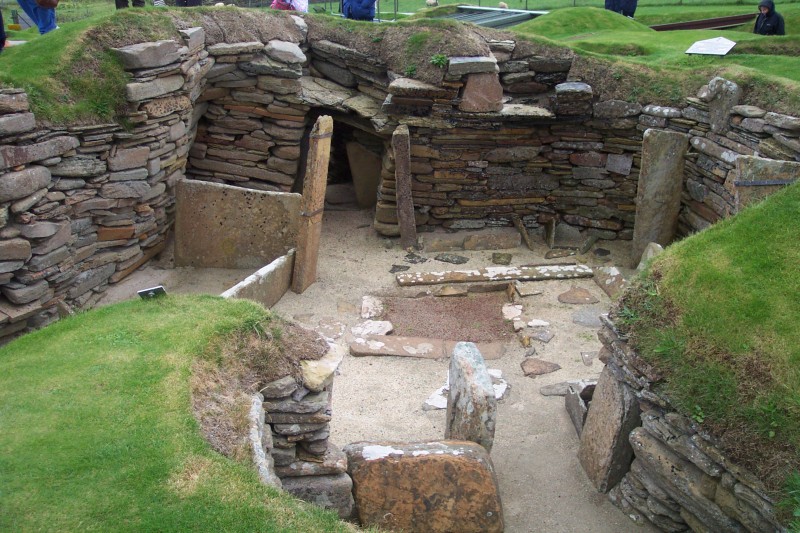
Skara Brae
Orkney Islands
Ten roofless stone houses survive with their built-in furniture still in place — hearths, dressers, box-beds — occupied for roughly six hundred yea…
- Near Stromness
- 5 min walk from car park
- Some walking
Tomb or burial place · Prehistoric
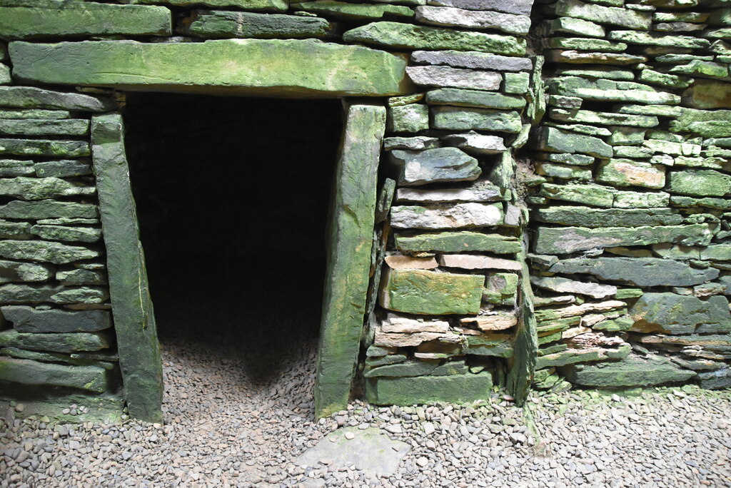
Unstan Chambered Cairn
Orkney Islands
The chambered cairn was built sometime between about 3400 and 2800 BC (on the evidence of nearby tombs) as a Neolithic burial monument on a promont…
- Near Stenness
- 2 min walk from car park
- Easy path
Carved stone · Prehistoric
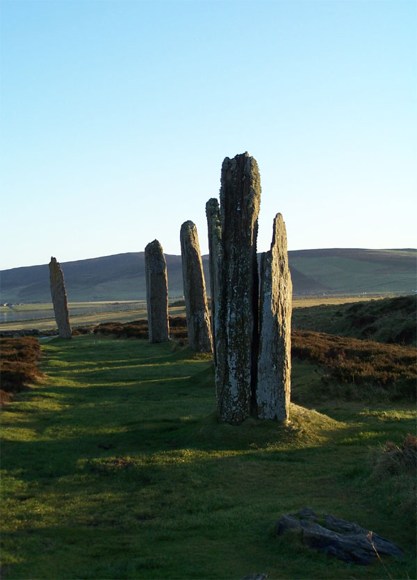
Ring of Brodgar
Orkney Islands
The Ring of Brodgar is a Neolithic henge and stone circle on the narrow isthmus between the Lochs of Stenness and Harray on Mainland, Orkney. It is…
- Near Stenness
- 5 min walk from car park
- Easy path
Questions people ask
- What is the Broch of Borwick?
- It is an Iron Age broch on a cliff-top promontory on Mainland Orkney.
- What survives best?
- The eastern half and the lintelled entrance passage are well preserved.
- What has been lost?
- The western half of the broch has been destroyed by erosion.
- What did the 1881 excavation find?
- Finds included combs, a whale vertebra cup, spindle whorl, gaming piece, whetstone, stone tools, an iron rod, and querns.
Sources
- Wikipedia article
- Source pack: Broch of Borwick
Explore more: Fortified places · Iron Age · Orkney Islands
The Ancient Codex, in your pocket
Get the Pocket Codex app
Carry the directory with you — Broch of Borwick and thousands of ancient places across Britain and Ireland, offline, wherever you roam.