
The Ring of Brodgar is a Neolithic henge and stone circle on the narrow isthmus between the Lochs of Stenness and Harray on Mainland, Orkney. It is generally thought to have been erected between 2500…
Ring of Brodgar is a carved stone near Stenness, Orkney, Scotland.
What follows is drawn from published sources, with each claim labelled by how firmly it is established.
History
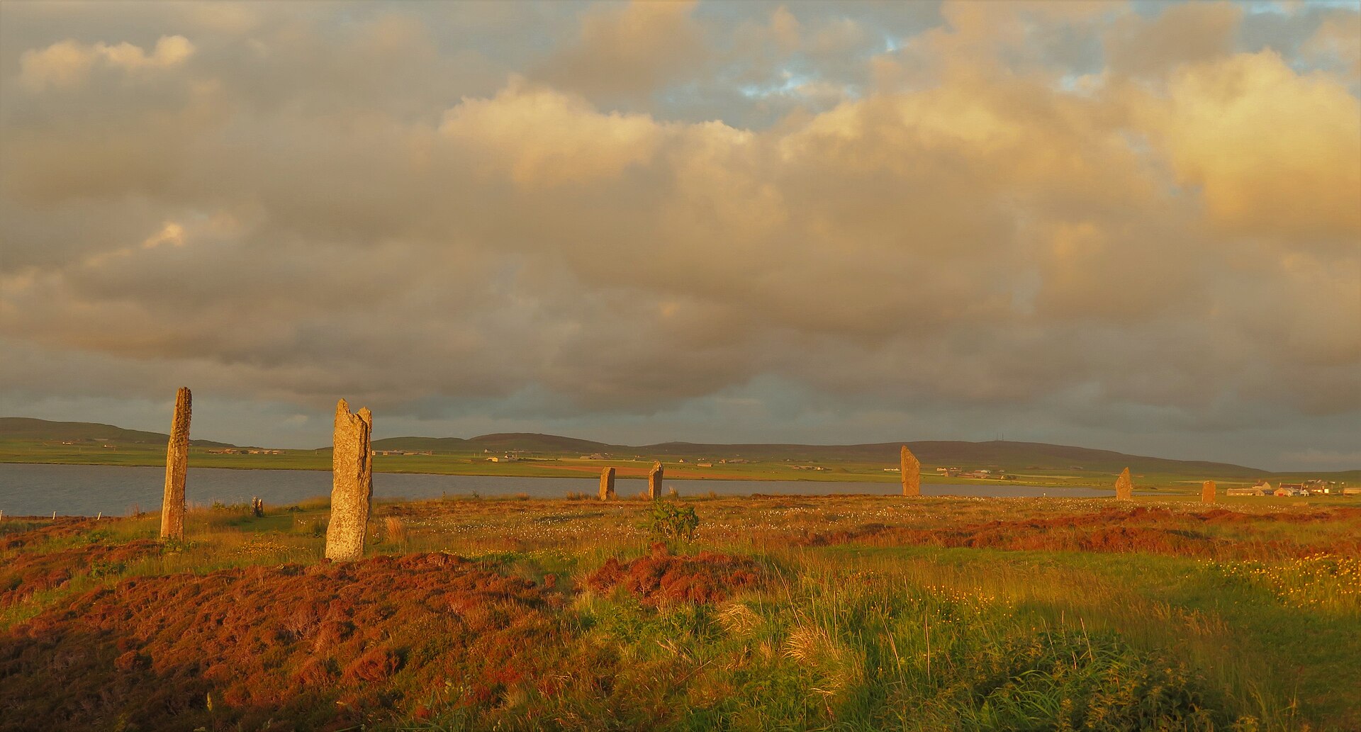
The Ring of Brodgar is a Neolithic henge and stone circle on the narrow isthmus between the Lochs of Stenness and Harray on Mainland, Orkney. It is generally thought to have been erected between 2500 BCE and 2000 BCE, making it the last of the great Neolithic monuments built on the Ness.
The ditch surrounding the ring — up to 3 m deep, 9 m wide and 380 m in circumference — was carved out of the solid sandstone bedrock. It appears to have been created in sections, possibly by workforces from different parts of Orkney, with the stones perhaps added later over a long period.
The first formal survey of the ring and surrounding antiquities was carried out in 1849 by Royal Navy Captain Frederick Thomas of HM cutter Woodlark, leading to the 1852 publication of The Celtic Antiquities of Orkney.
It was included in the 'Heart of Neolithic Orkney' UNESCO World Heritage Site in 1999. A 'Ring of Brodgar Excavation 2008' project attempted to settle the site's uncertain age and answer other questions; its results remain preliminary.
People
-
Captain Frederick Thomas
Royal Navy officer (HM cutter Woodlark) who made the first formal survey of the ring in 1849
-
Aubrey Burl
Archaeologist who classified the ditch as a Class II henge and noted its diameter matched Avebury and Newgrange in 'megalithic yards'
-
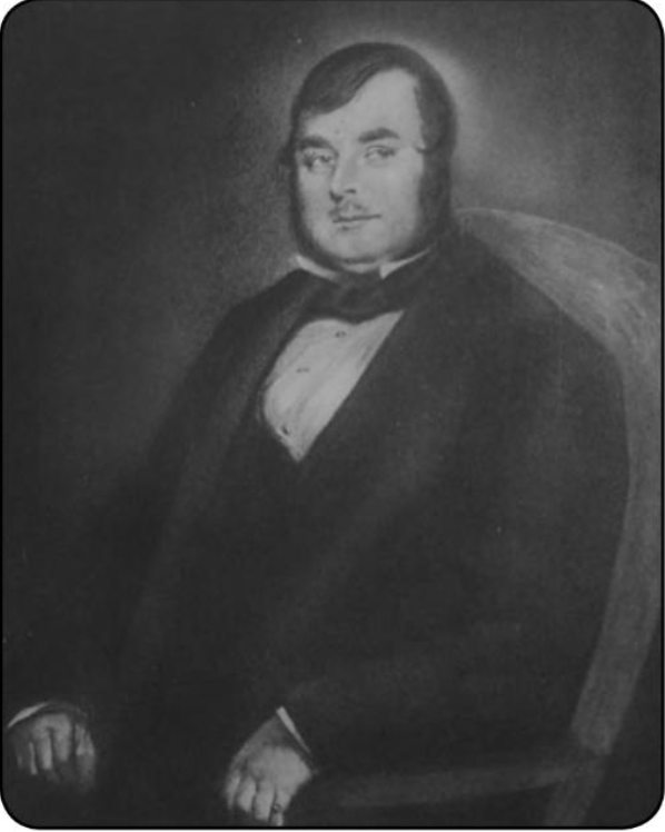
Portrait: Charles Grey (1808-1892) / Wikimedia Commons / Public domain Alexander Thom
Proposer of the controversial 'megalithic yard' unit and of the theory that Brodgar served as a lunar observatory
Cultural influences
-
The ring is the only major henge and stone circle in Britain that is an almost perfect circle, ranking with Avebury and Stonehenge among the greatest such sites; at 104 m in diameter it is the third largest stone circle in the British Isles.
-
It forms part of one of the densest concentrations of Neolithic archaeology in Britain, sited deliberately within a broader ceremonial landscape between the Lochs of Stenness and Harray.
-
Historic Environment Scotland's Statement of Significance calls it 'the finest known truly circular late Neolithic or early Bronze Age stone ring', a later expression of the spirit that gave rise to Maeshowe, Stenness and Skara Brae.
Connections
-
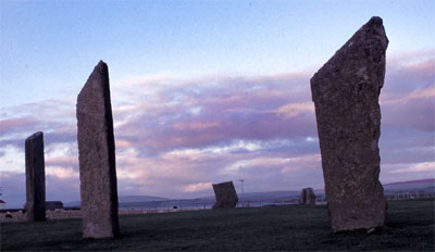
Photo: Otter at Dutch Wikipedia (Original text: Hopmans) / Wikimedia Commons / CC BY-SA 3.0 Standing Stones of Stenness
Neighbouring circle-henge to the south-east, part of the same World Heritage Site
-
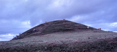
Photo: Otter at Dutch Wikipedia (Original text: Hopmans) / Wikimedia Commons / CC BY-SA 3.0 Maeshowe
Chambered tomb to the east, connected to the wider ceremonial complex (and by a Neolithic 'low road')
-
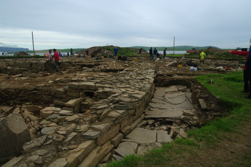
Photo: genevieveromier profile / Wikimedia Commons / CC BY 2.0 Ness of Brodgar
Ceremonial and settlement complex between the two lochs, under ongoing excavation by Orkney College
-
Skara Brae
Neolithic settlement in the same World Heritage Site; a 'low road' connects it past Brodgar and Stenness to Maeshowe
-
Heart of Neolithic Orkney World Heritage Site
Inscribed 1999; the ring is one of its principal monuments
Discovery & excavation
Ongoing excavations by Orkney College at the nearby Ness of Brodgar have uncovered several ritual and domestic buildings, pottery, bones, stone tools and a polished stone mace head, as well as the remains of a large stone wall — possibly up to 100 m long and 6 m wide — that may have been a symbolic barrier between the ritual landscape of the Ring and the world around it. The immediate area has also yielded flint arrowheads and broken stone mace-heads dating from the Bronze Age. The interior of the circle itself has never been excavated.
In culture
-
The ring features in Kathleen Fidler's 1968 novel The Boy with the Bronze Axe, depicted in a midsummer ceremony.
-
It appears in Troika Games' 2001 title Arcanum: Of Steamworks and Magick Obscura, in the town of Roseborough, where it is pivotal to the plot.
What to look for
-
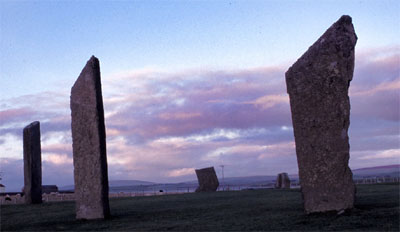
The standing stones themselves — the ring originally had up to 60 stones, of which 27 remained standing at the end of the 20th century; the tallest stand at the south and west.
-
The 'Comet Stone' — an outlying stone to the south-east of the ring.
-
The encircling rock-cut ditch, up to 3 m deep and 9 m wide, with two opposing entrances on the north-west and south-east.
-
Runic carvings left by Nordic peoples on several of the stones, including the name 'Bjorn', a small cross, and an anvil.
What is said
Folklore and tradition, recorded as what is said — not as established fact.
-
According to local legend, after Scandinavian invaders reached Orkney the Ring of Brodgar and the Standing Stones of Stenness were known as the Temple of the Sun and Moon respectively, where young people supposedly made vows and prayed to Wōden, along with the so-called 'Odin Stone' that lay between the circles until a farmer destroyed it in 1814. (viewed with scepticism by scholars; Sigurd Towrie suggests the names were romantic 18th/19th-century antiquarian inventions)
-
Alexander Thom and his father contended that Brodgar and its surrounding burial mounds were designed as backsights for astronomical observations of the Moon. (disputed; Heggie found 'little evidence' for the megalithic yard and Graham Ritchie cast doubt on the astronomical claims)
Standing there
- The ring stands on a narrow isthmus between two great lochs — the Loch of Stenness to the south and the Loch of Harray to the north — on gently rising ground with wide open views, so water lies on either side and the stones read sharply against the Orkney skyline with wind and the cry of waterbirds all around.
- It is the third-largest stone circle in Britain and an almost perfect circle: walking its huge ring you move along the encircling bank and ditch past tall thin slabs of weathered flagstone spaced around the wide grassy interior, the whole enclosure big enough that the far side feels distant.
- From inside, the surrounding Neolithic landscape is visible across the lochs — the Stones of Stenness, the mound of Maeshowe and the Ness of Brodgar complex all sit within sightlines — so the place feels like the centre of a wider ceremonial arena rather than an isolated monument.
- When raised, between roughly 2500 and 2000 BC, the circle would have been a dramatic skyline silhouette approached across the narrow neck of land between the waters — gatherings here would have unfolded in the open, exposed to the same wind, light and reflective loch surfaces that still dominate the site.
- The position between two lochs, with sightlines linking it to the other great monuments, suggests water, visibility and movement through the landscape were part of the intended experience — arriving along the isthmus and entering the ring would have been a deliberate, staged passage rather than a casual approach.
Plan your visit
- Location
- 59.0015°N · 3.2297°W
- Nearest settlement
- Stenness
- Access
- Reached on a public path
- Terrain
- Easy going
- Parking
- Parking available nearby — see the official getting-here page.
- Start point
- Ring of Brodgar Stone Circle and Henge · About 5m north east of Stromness on the B9055.
- Best time
- Some sections of the inner path may be closed periodically to allow the grass path to rest and regenerate.
- Start point
- Ring of Brodgar car park — Free HES car park on the B9055. No toilets at the site; nearest are at the Maeshowe visitor centre.
Opening & admission
Free entry
- Some sections of the inner path may be closed periodically to allow the grass path to rest and regenerate.
Nearby places
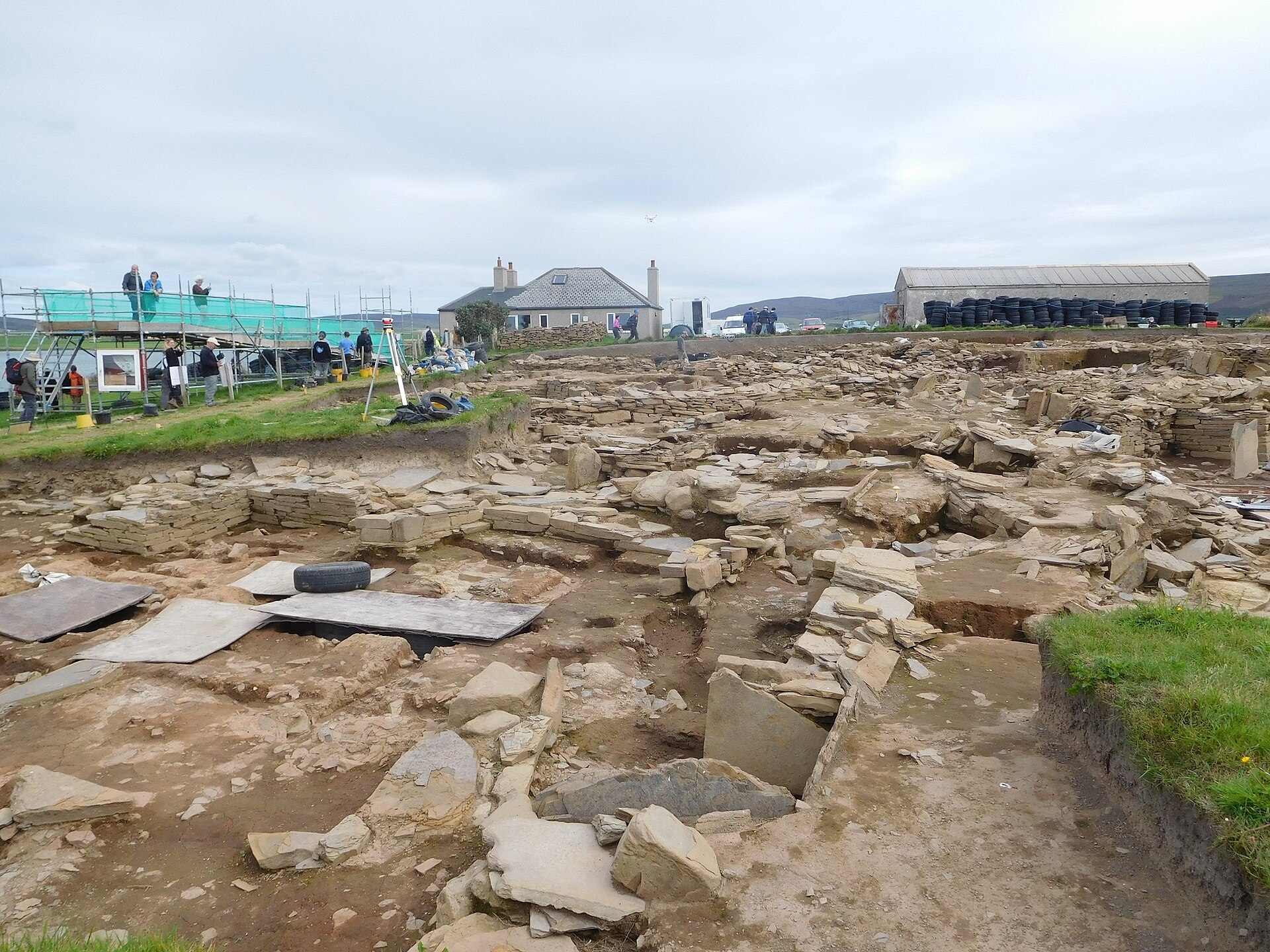
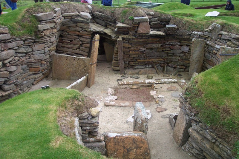
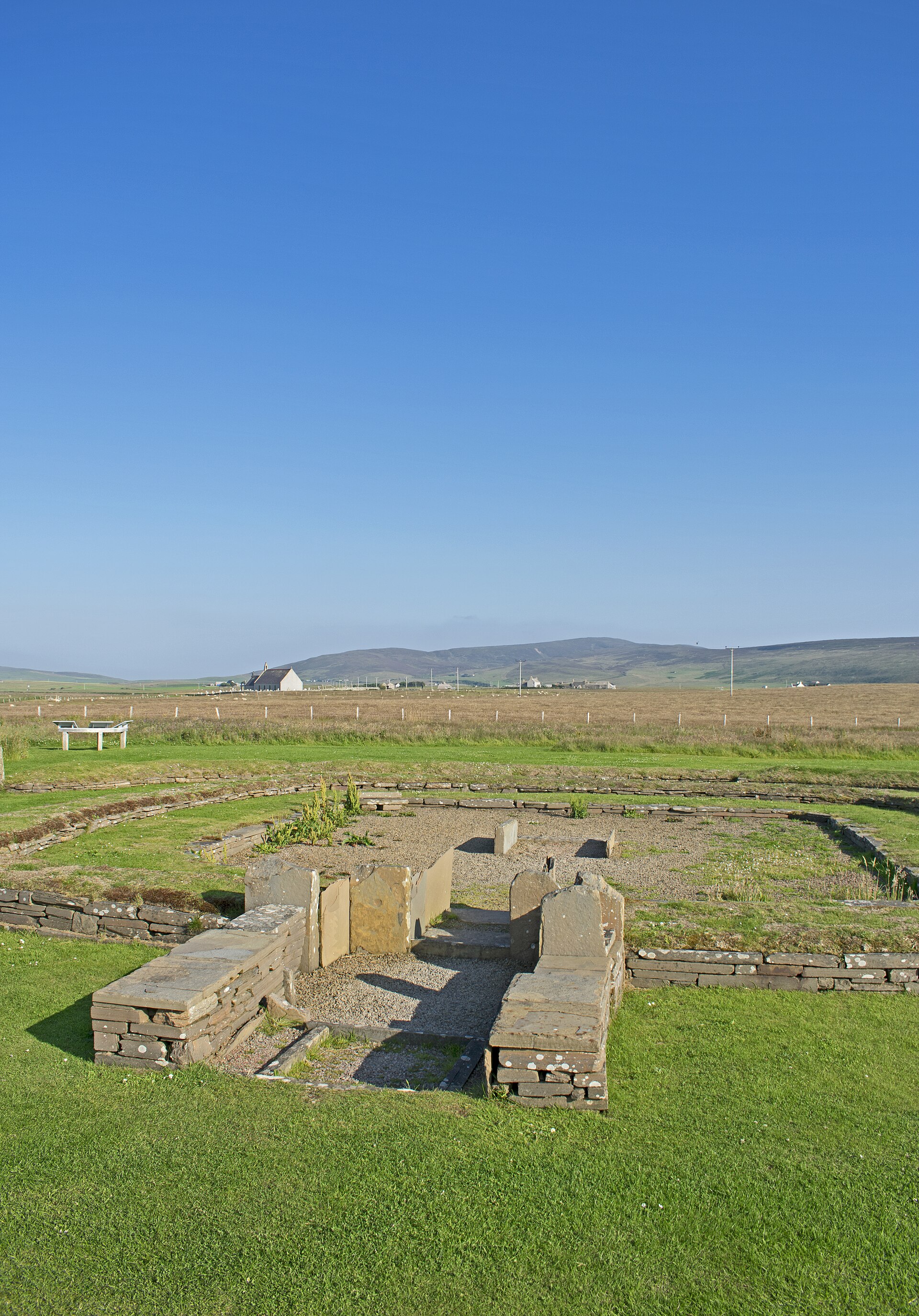
Carved stone · Prehistoric
Stones of Stenness Circle and Henge
Orkney Islands
The Stones of Stenness are a Neolithic monument and may be the oldest henge site in the British Isles; radiocarbon dating indicates work on the sit…
- Near Stenness
- 2 min walk from car park
- Easy path
Sources
- Canmore site record 1696 (accessed 2026-06-13)
- Trove (HES) record (accessed 2026-06-13)
- Wikipedia: Ring of Brodgar (accessed 2026-06-13)
- Wikidata Q643631 (accessed 2026-06-13)
Explore more: Carved stones · Prehistoric · Orkney Islands
The Ancient Codex, in your pocket
Get the Pocket Codex app
Carry the directory with you — Ring of Brodgar and thousands of ancient places across Britain and Ireland, offline, wherever you roam.