
A quiet Skye headland holds cairns, a dun and a loch once engineered for boats. Rubha an Dunain is an uninhabited peninsula south of the Cuillin hills, with a chambered cairn, a prehistoric burial monument with a stone chamber, and other archaeology spanning from the Mesolithic into the medieval period.
Its name means “point of the little fort”, referring to the prehistoric dun, a small defended stone enclosure, south of Loch na h-Airde. Around the loch, stone quays, boat noosts, a canal and preserved boat fragments make the place far more than a single cairn site.
What follows is drawn from published sources, with each claim labelled by how firmly it is established.
History
People used the Rubha an Dunain peninsula from the Mesolithic period onwards, including a small rock shelter in the northern area.
During the 2nd or 3rd millennium BC, a chambered cairn and a passage grave formed part of the prehistoric landscape.
An Iron Age dun south of Loch na h-Airde later gave the headland the name meaning “point of the little fort”.
In 2000 a local archaeologist found a Norse-style clinker-built boat timber in the loch, later carbon dated to AD 1100.
In May 2009 a Historic Scotland-sponsored study identified stone-built quays and a water-control system around the loch.
In 2011 RCAHMS launched air surveys in the hope of locating further artefacts.
In the post-Viking era the peninsula became the hereditary homeland of the MacAskills, and occupation continued until after the clearances, with no occupants recorded after the 1861 census.
People
-
Dr Colin Martin
Marine archaeologist who described the site’s rare potential for understanding medieval boat-building and seafaring.
Connections
-
Loch na h-Airde
Loch beside the sea that formed the focus of the harbour complex.
-
Clan MacAskill
Hereditary post-Viking occupants of the peninsula.
-
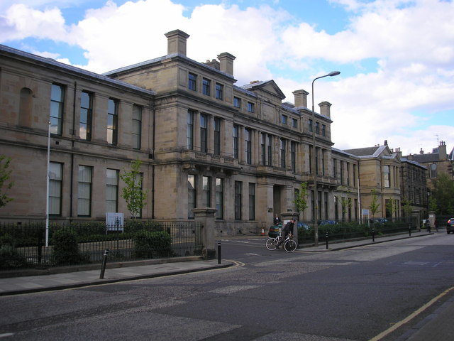
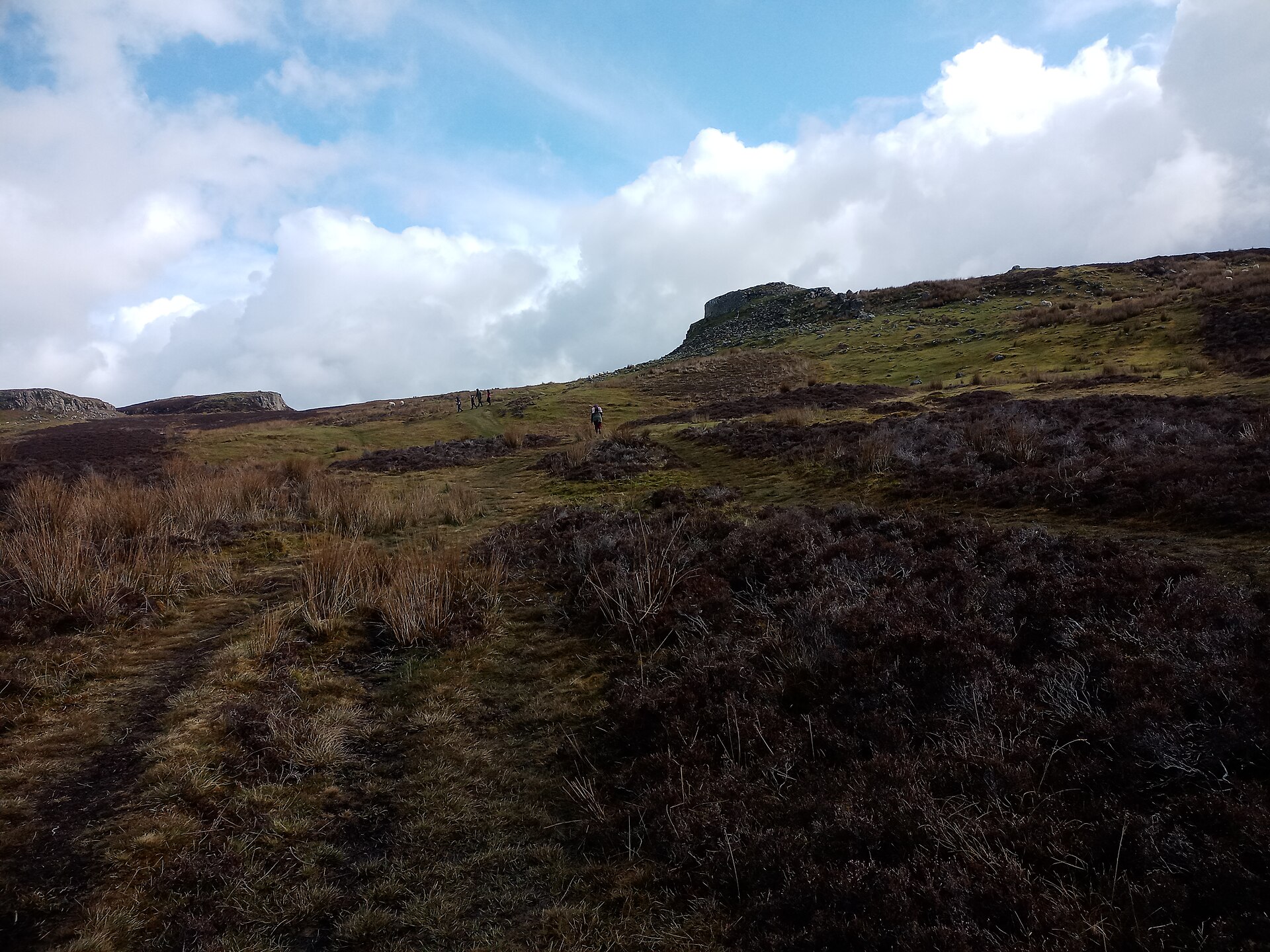
Photo: Sandy Gemmill / Wikimedia Commons / CC BY-SA 2.0 Historic Environment Scotland
Designated the archaeological landscape as nationally important in 2017.
-
RCAHMS
Launched air surveys around the site in 2011.
Discovery & excavation
A local archaeologist discovered a Norse-style clinker-built boat timber in Loch na h-Airde in 2000; later surveys and studies identified quays, boat noosts, a canal and water-control features.
Finds now held at: Loch na h-Airde.
What to look for
-
Chambered cairn and passage grave
Prehistoric burial monuments survive in the northern part of the peninsula.
-
Prehistoric dun
A defended stone enclosure south of the loch gives the headland its name.
-
Medieval harbour complex
Quays, noosts, canal works and possible boat fragments survive around Loch na h-Airde.
Plan your visit
- Location
- 57.1610°N · 6.3160°W
- Access
- Open access
- Terrain
- Rough ground — reasonable boots advised
Opening & admission
- Uninhabited headland with archaeology spread across the peninsula; source pack gives no visitor route detail.
Nearby places
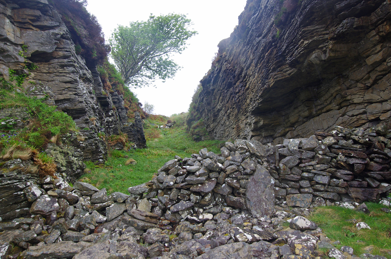
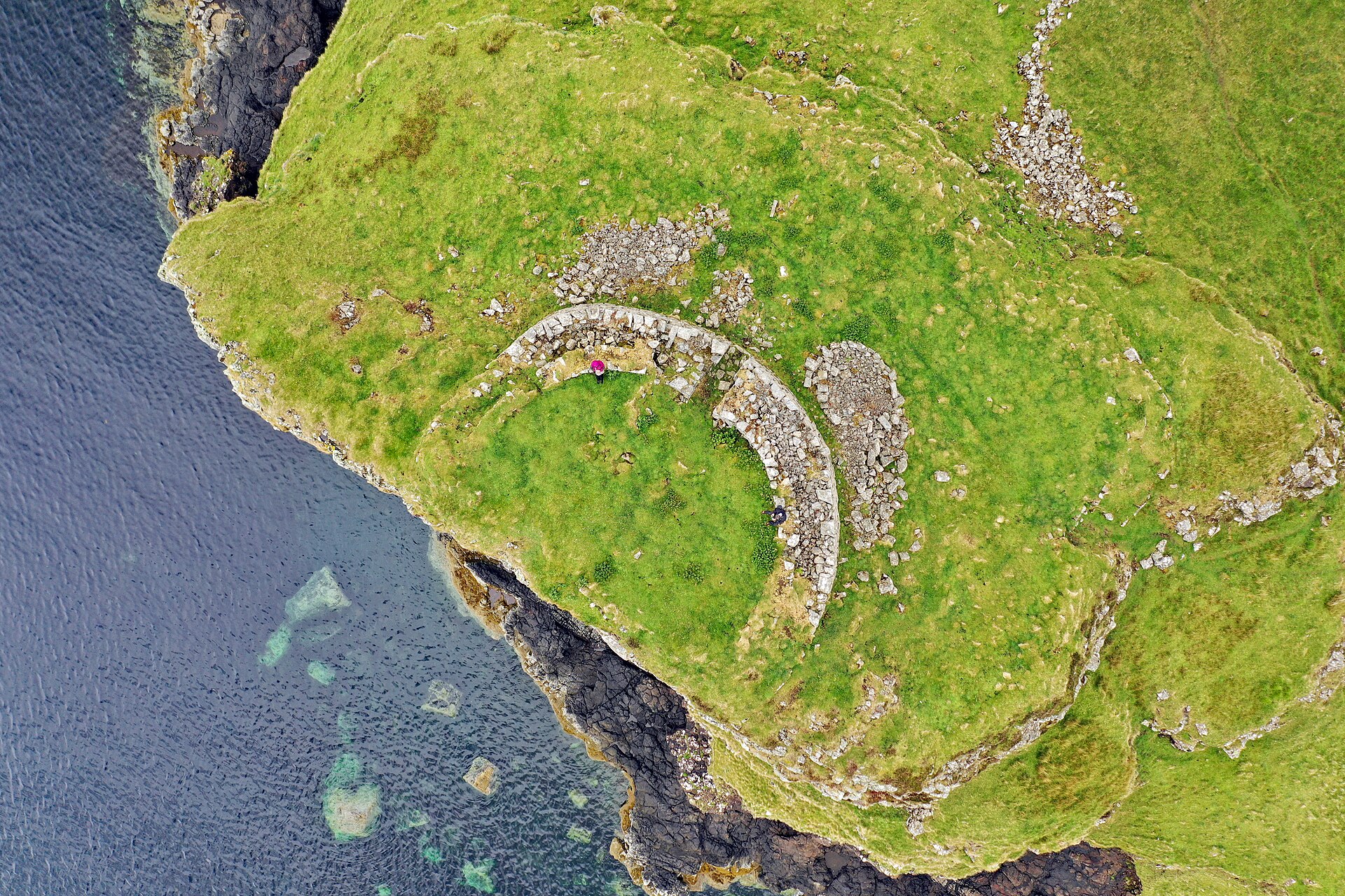
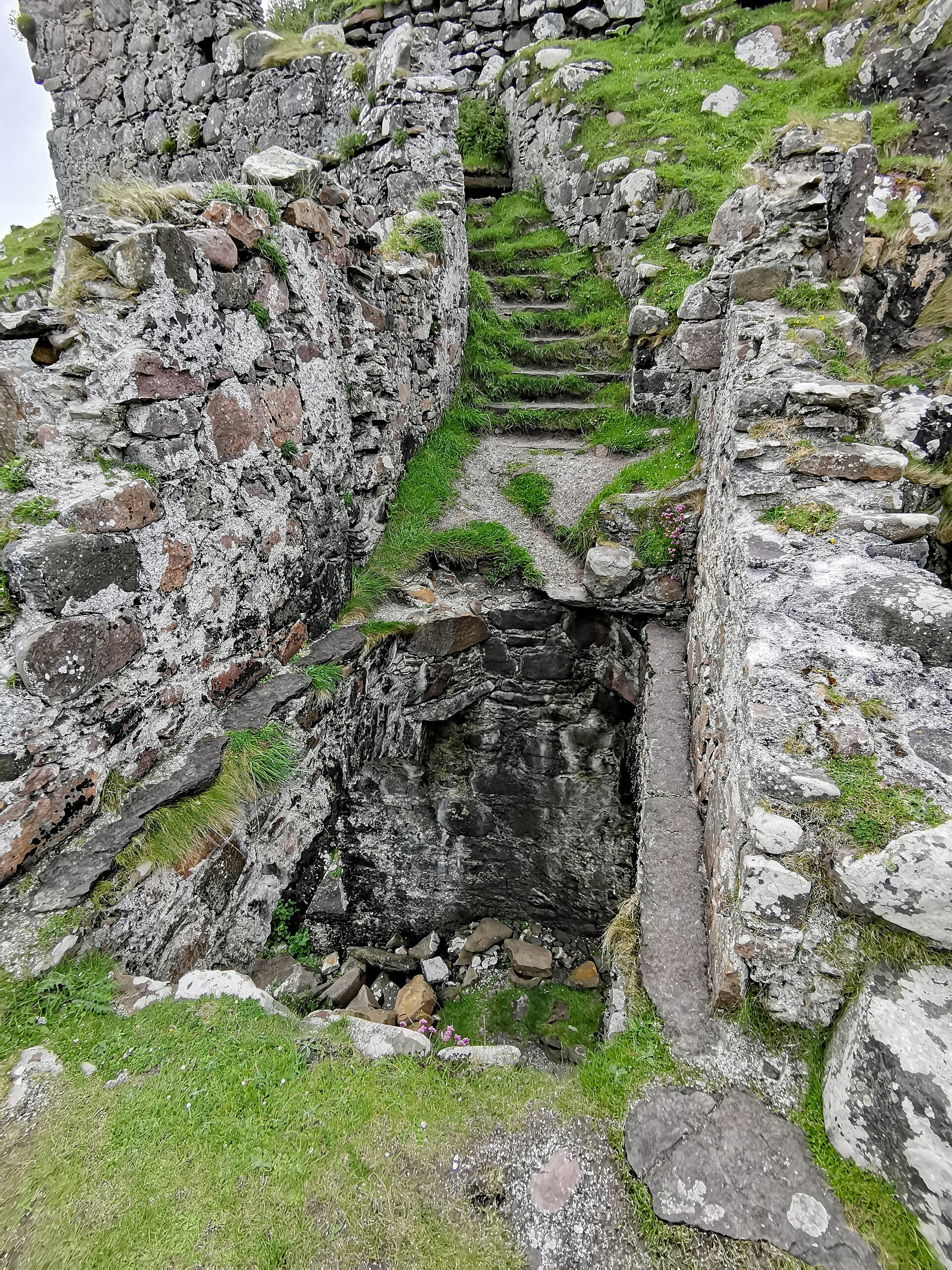
Fortified place · Medieval
Dunscaith Castle
Highland
A ruined clan stronghold on Skye whose very name preserves its role in Gaelic and Irish legend as the fortress of the warrior-teacher Scathach.
Questions people ask
- What is Rubha an Dunain?
- It is an uninhabited Skye peninsula with nationally important archaeology, including prehistoric burial monuments and a medieval harbour complex.
- What does the name mean?
- The source pack gives the meaning as “point of the little fort”.
- Why is Loch na h-Airde important?
- The loch preserves evidence for quays, boat noosts, a canal and medieval boat activity.
- Who lived there later?
- In the post-Viking period it was the hereditary homeland of the MacAskills, a sept of Clan McLeod.
Sources
Explore more: Tomb or burial places · Prehistoric · Highland
The Ancient Codex, in your pocket
Get the Pocket Codex app
Carry the directory with you — Rubha an Dùnain and thousands of ancient places across Britain and Ireland, offline, wherever you roam.