
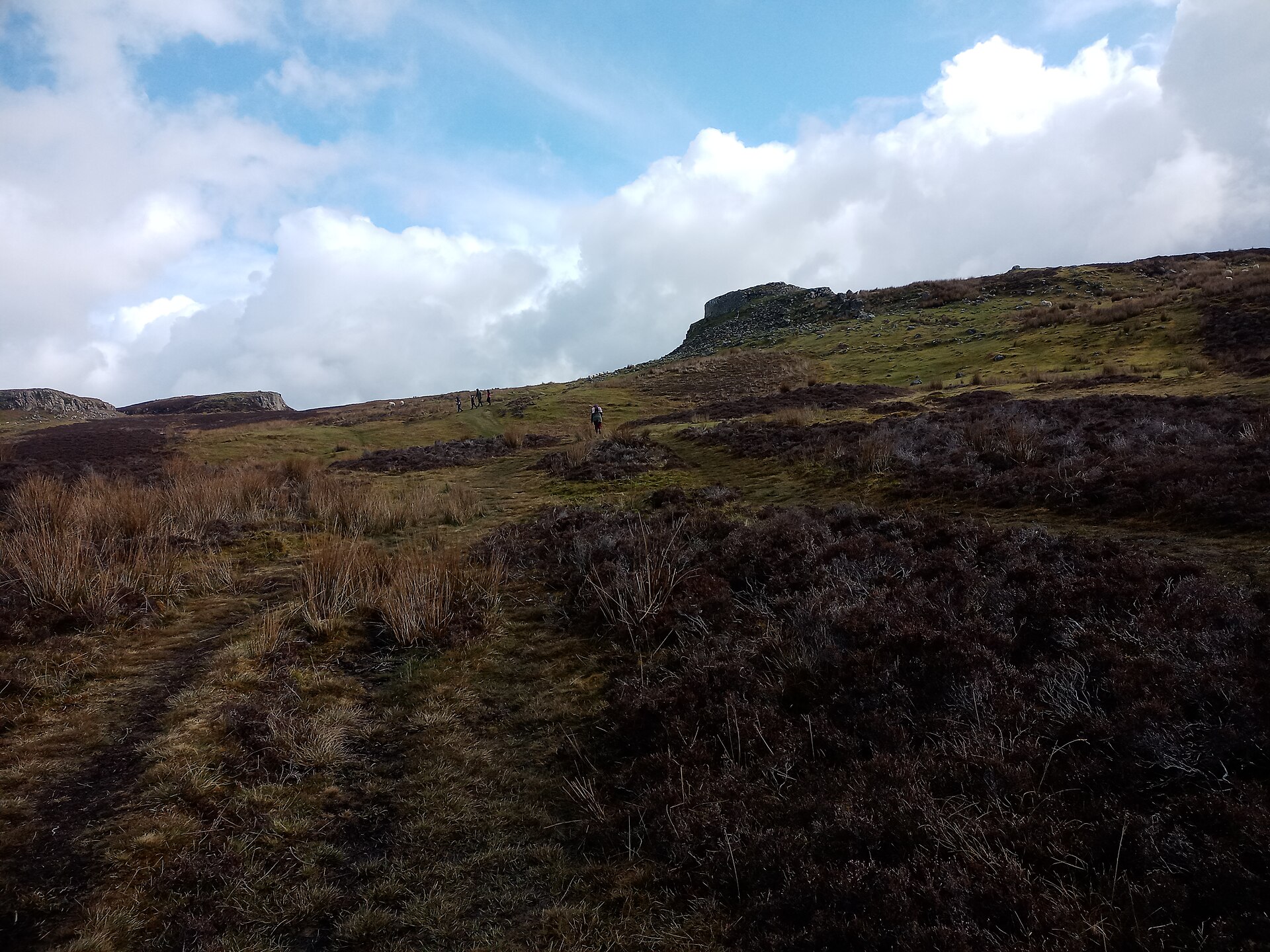
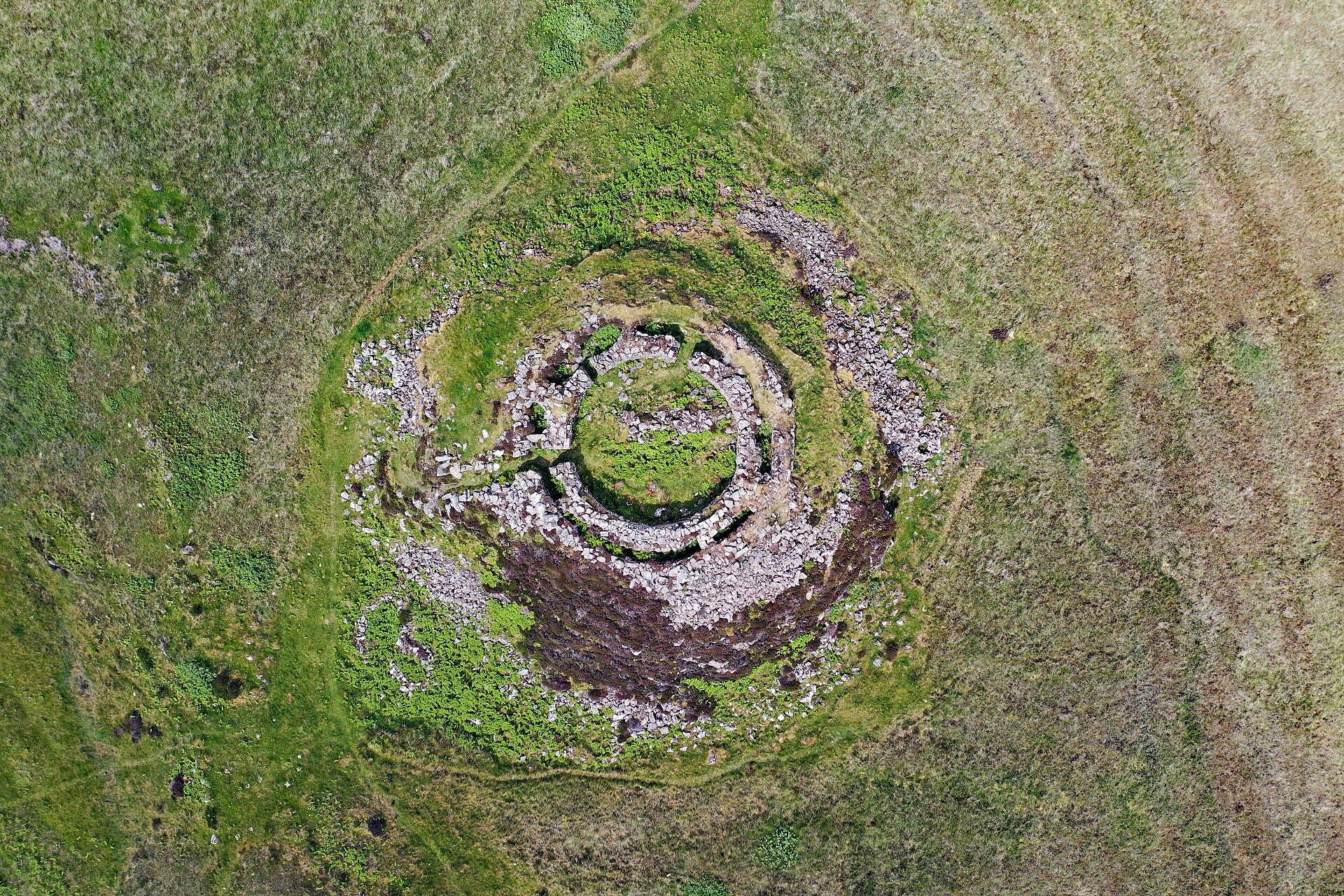
A D-shaped wall grips the cliff edge above the sea on Skye. Dun Ardtreck is a dun, a small defended drystone enclosure, often described as a semi-broch (an Iron Age drystone round tower) because it shares features with broch towers.
The fortification used the cliff as its straight side, with a thick hollow wall and broch-like entrance facing inland. Euan W. MacKie excavated the site in 1964-65 to explore broch development, finding that the first occupation ended in fire and destruction before a second phase in the middle of the second century AD brought iron tools, bronze ornaments, glass ring-heads, Roman pottery, and a Roman bead fragment.
What follows is drawn from published sources, with each claim labelled by how firmly it is established.
History
Dun Ardtreck was built on a rocky coastal knoll on Skye.
Its builders made a roughly level platform and set a galleried wall on top of it.
Charcoal from the platform was radiocarbon dated to 115 BC.
The first phase of occupation seems to have been short and ended in violence and destruction by fire.
Euan W. MacKie excavated the site in 1964-65 as part of work on broch development.
The second phase is dated from pottery to the middle of the second century AD.
Finds from the later phase included iron tools, bronze ornaments, glass ring-heads, Roman Samian ware sherds, and a piece of Roman bead.
People
-
Euan W. MacKie
Archaeologist who excavated Dun Ardtreck in 1964-65.
Connections
-
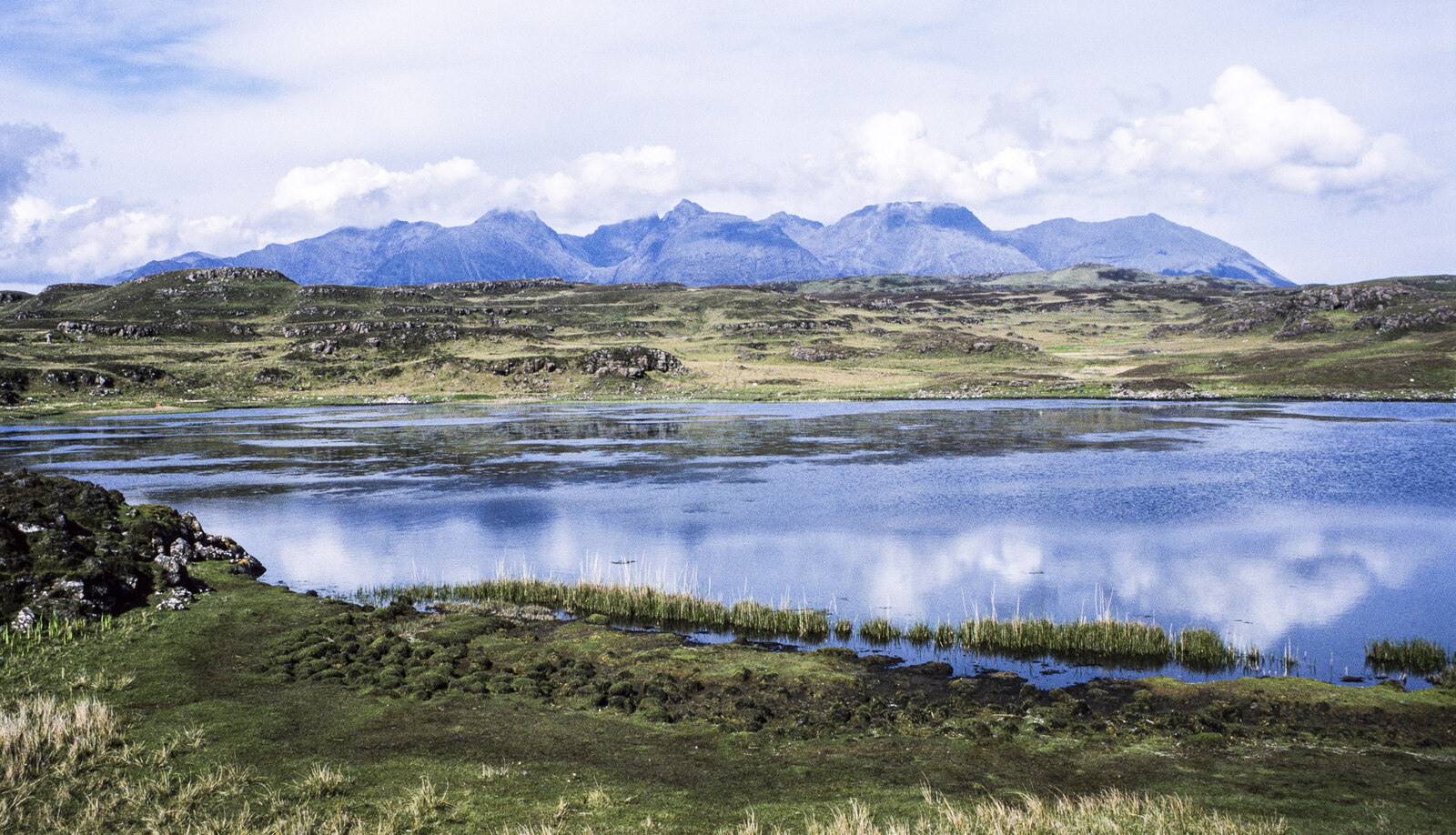
Minginish peninsula
Skye peninsula where the dun stands.
-
Ardtreck
Nearby village giving the site its name.
-
Roman Samian ware
Imported pottery found in the later occupation phase.
What to look for
-
D-shaped plan
Straight side formed by the cliff edge.
-
Broch-like entrance
Well-preserved entrance with door-checks and guard-cell access.
-
Outer wall
Wall running along the landward edge of the knoll.
Plan your visit
- Location
- 57.3347°N · 6.4301°W
- Access
- Open access
- Terrain
- Rough ground — reasonable boots advised
Opening & admission
- Cliff-edge semi-broch on rocky knoll; access not established.
Nearby places

Questions people ask
- What is Dun Ardtreck?
- It is a D-shaped dun or semi-broch on Skye.
- What does semi-broch mean?
- It means a structure with some broch-like features but not a full circular broch tower.
- Who excavated it?
- Euan W. MacKie excavated it in 1964-65.
- What happened in its first phase?
- The source pack says the first occupation was short and appears to have ended in violence and destruction by fire.
Sources
Explore more: Fortified places · Iron Age · Highland
The Ancient Codex, in your pocket
Get the Pocket Codex app
Carry the directory with you — Dun Ardtreck and thousands of ancient places across Britain and Ireland, offline, wherever you roam.