
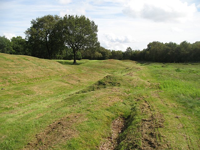
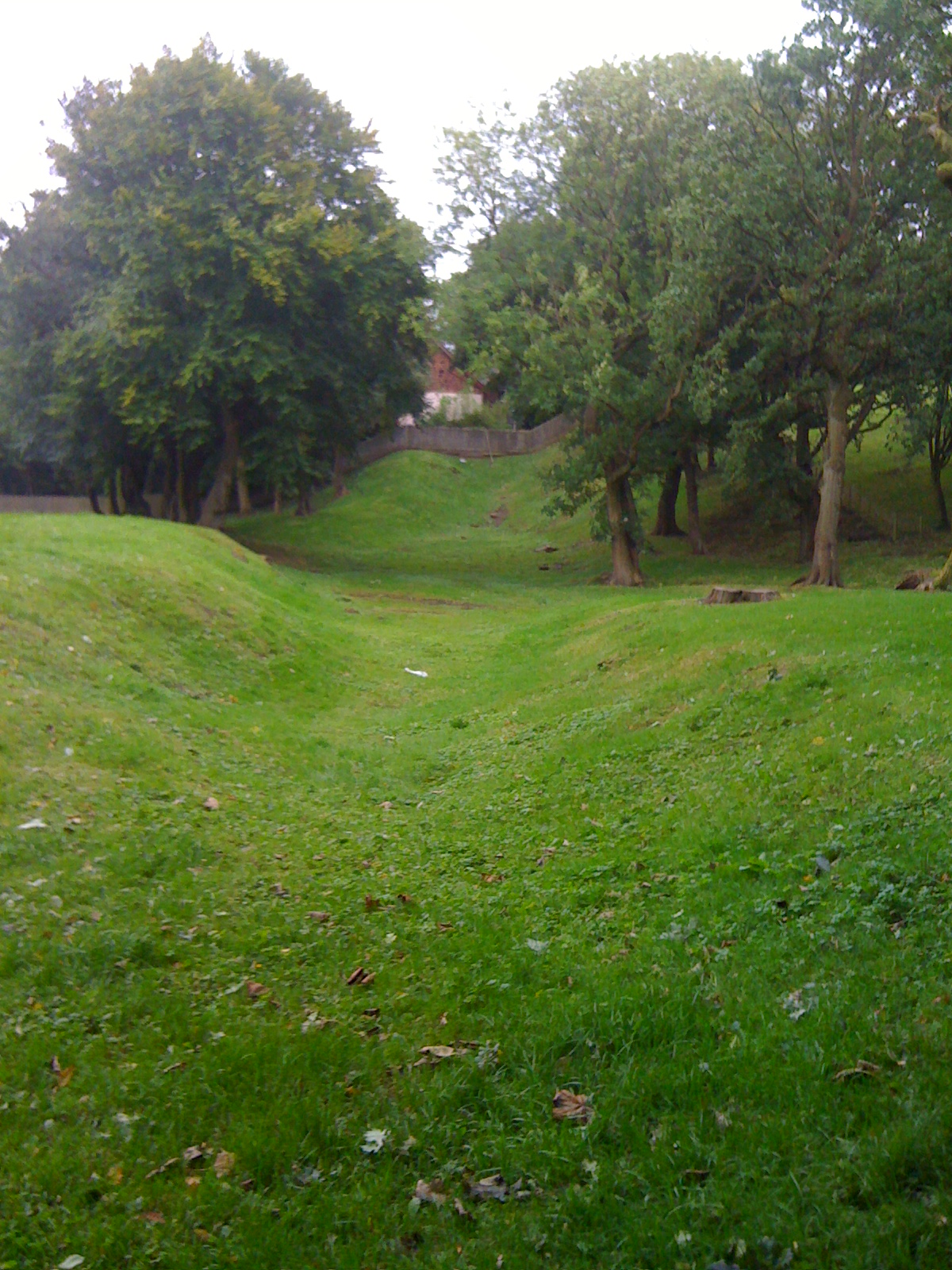
A surviving line of Roman earthwork runs through Seabegs Wood, where earlier archaeologists found the ditch deep and waterlogged. Here a fortlet (a small Roman fort) was attached to the Antonine Wall, a turf-built frontier line across central Scotland that now forms part of a UNESCO World Heritage Site.
What follows is drawn from published sources, with each claim labelled by how firmly it is established.
History
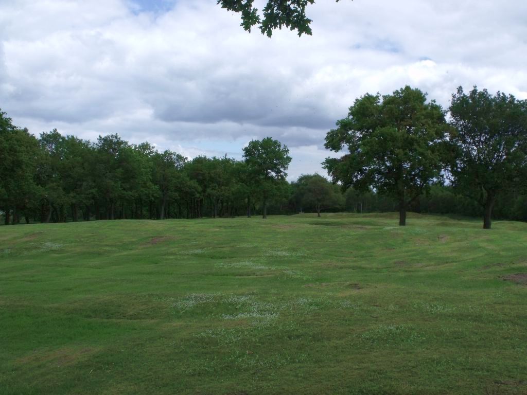
Seabegs Wood was the site of a Roman fortlet on the Antonine Wall. The outline of the wall has lasted there, and earlier archaeologists recorded the ditch as deep and waterlogged.
In the 1890s the Antonine Wall Committee of Glasgow Archaeological Society cut several trenches across the Roman rampart. The trenches uncovered the wall's stone base.
Further excavation in 1977 found a Roman fortlet attached to the south of the rampart. A mound was examined in 1981, but little was discovered.
Sir George Macdonald and others had theorised that another structure was likely in the Seabegs area because the neighbouring forts at Castlecary and Rough Castle were relatively far apart. The later fortlet discovery fits that expectation.
The source notes that no coinage has been recovered from the site and no inscriptions are known. Two marching camps lie nearby at Dalnair and Milnquarter.
Seabegs Wood was once part of the ancient Barony of Seabegs. Its modern heritage identity is also marked by the Seabegs Collection of Ancient Roman Coinage, donated to Dalhousie University in Halifax, Nova Scotia, to commemorate the connection.
People
-
Sir George Macdonald
Theorised, with others, that a structure was likely in the Seabegs area between Castlecary and Rough Castle.
Connections
-
Castlecary
The neighbouring fort to the west of Seabegs Wood.
-
Rough Castle
The neighbouring fort to the east of Seabegs Wood.
-
Glasgow Archaeological Society
Its Antonine Wall Committee trenched the rampart in the 1890s.
-
Dalhousie University
Received the Seabegs Collection of Ancient Roman Coinage.
Discovery & excavation
Trenching in the 1890s uncovered the stone base of the Roman rampart, excavation in 1977 found a fortlet attached south of the rampart, and a mound examined in 1981 produced little further evidence.
Finds now held at: Seabegs Wood.
In culture
-
Drone footage
The source lists a short YouTube drone-footage video from Seabegs Wood.
What to look for
-
Wall outline
The outline of the Antonine Wall has survived at Seabegs.
-
Waterlogged ditch
Earlier archaeologists recorded the ditch as deep and waterlogged.
-
Fortlet position
The Roman fortlet was found attached to the south of the rampart.
-
The Pend
An underpass under the Forth and Clyde Canal nearby is locally known as the Pend.
-
Nearby marching camps
Two Roman marching camps are nearby at Dalnair and Milnquarter.
Plan your visit
- Location
- 55.9924°N · 3.8995°W
- Access
- Open access
- Terrain
- Moderate walking
Opening & admission
No admission arrangement is stated in the source.
- The source notes a nearby canal underpass known locally as the Pend.
- The ditch was recorded by earlier archaeologists as deep and waterlogged.
Nearby places
Fortified place · Roman
Antonine Wall: Rough Castle
Falkirk
Rough Castle was built as a Roman fort on the Antonine Wall, which dates from about AD 143. It stands against the southern rear face of the Wall, d…
- Near Bonnybridge
- 15 min walk from car park
- Some walking
Questions people ask
- What was Seabegs Wood?
- It was the site of a Roman fortlet on the Antonine Wall in Scotland.
- What survives at Seabegs Wood?
- The source says the outline of the Antonine Wall has lasted there, with a ditch recorded as deep and waterlogged.
- When was the fortlet found?
- Subsequent excavations in 1977 found a Roman fortlet attached to the south of the rampart.
- Were coins or inscriptions found at Seabegs Wood?
- The source says no coinage has been recovered from the site and no inscriptions are known.
- What is the World Heritage connection?
- Seabegs Wood is part of a UNESCO World Heritage Site representing a well-preserved portion of the Roman Antonine Wall.
Sources
Explore more: Fortified places · Roman · Falkirk
The Ancient Codex, in your pocket
Get the Pocket Codex app
Carry the directory with you — Seabegs Wood and thousands of ancient places across Britain and Ireland, offline, wherever you roam.