
Rough Castle was built as a Roman fort on the Antonine Wall, which dates from about AD 143. It stands against the southern rear face of the Wall, defended by 6-metre-thick turf ramparts and…
Antonine Wall: Rough Castle is a fortified place near Bonnybridge, Falkirk, Scotland.
What follows is drawn from published sources, with each claim labelled by how firmly it is established.
History
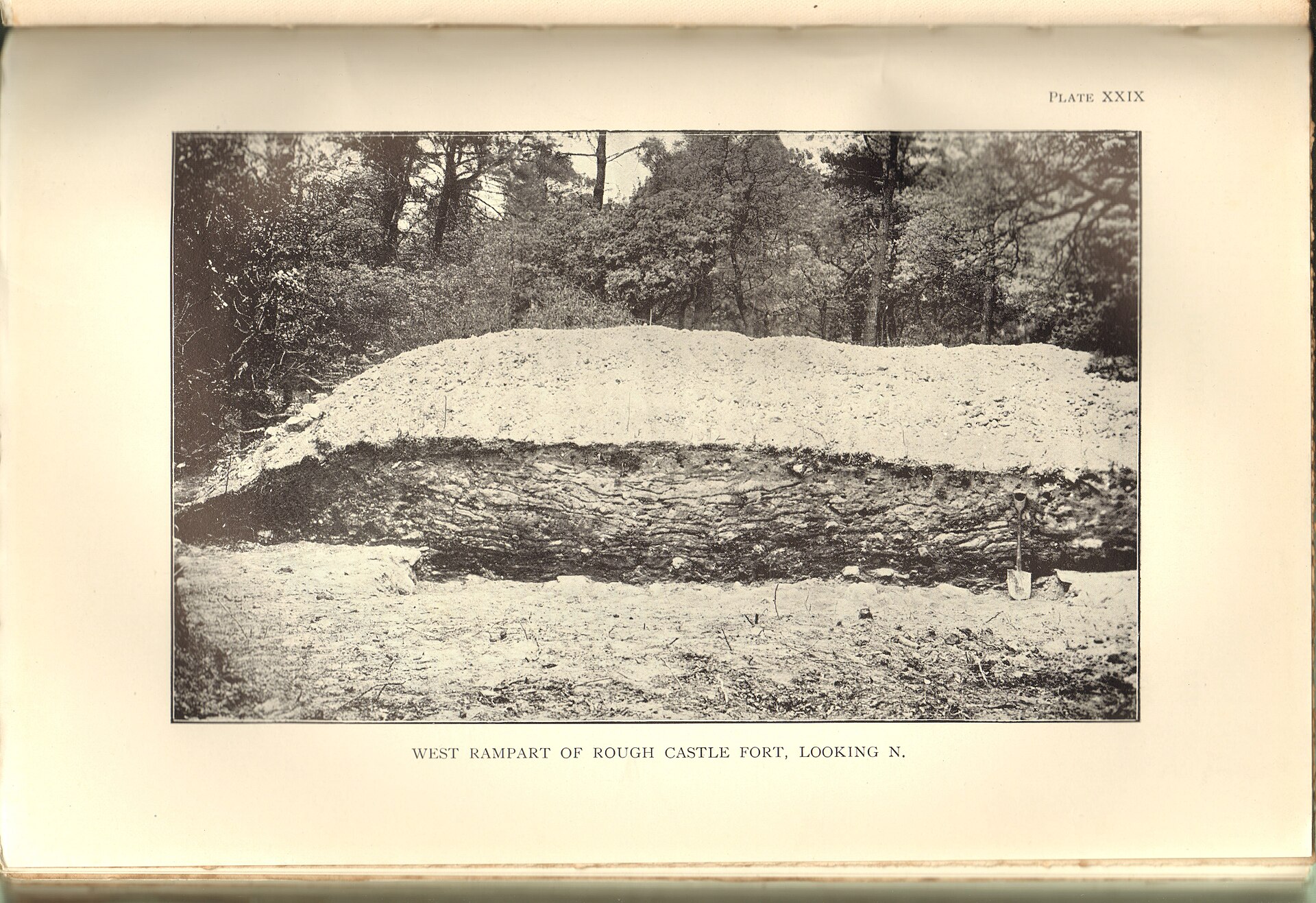
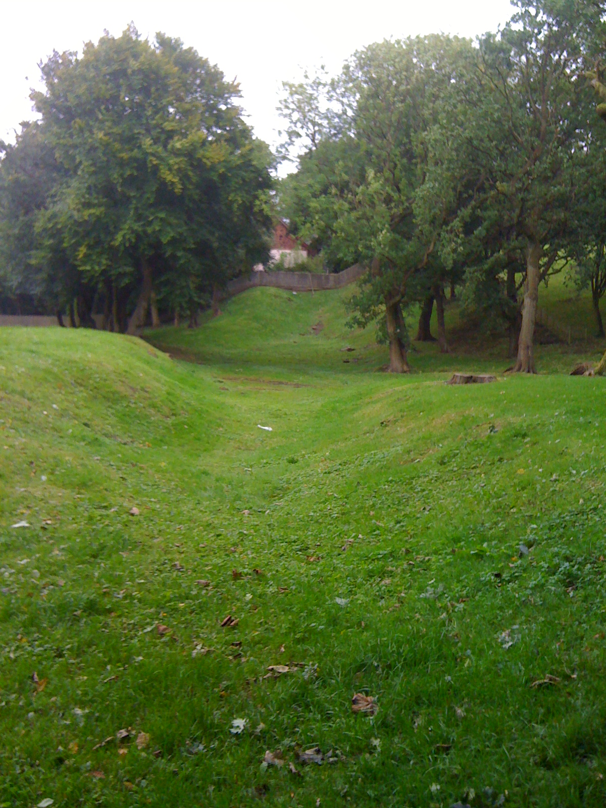
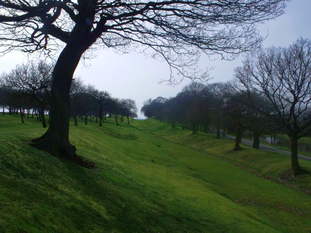
Rough Castle was built as a Roman fort on the Antonine Wall, which dates from about AD 143. It stands against the southern rear face of the Wall, defended by 6-metre-thick turf ramparts and surrounded by defensive ditches, with gateways through the main wall to the north and through the walls on the other three sides.
At about 4,000 square metres it was the second smallest fort on the Wall, yet contained the commander's house, barracks, headquarters, a bath house and a granary — several built in stone, an uncommon material at the time.
Inscriptions on recovered artefacts indicate the fort was garrisoned by 480 men of the Cohors VI Nerviorum, foot soldiers drawn from the Nervii, a north-eastern Gallic tribe.
A sound and light show was organised at Rough Castle in November 2018 to promote tourism.
People
-
Cohors VI Nerviorum (Nervii)
The garrison — 480 foot soldiers from a north-eastern Gallic tribe, recorded in inscriptions from the fort
-
Flavius Betto
Recorded as a commanding officer at the fort
Cultural influences
-
Part of the Antonine Wall frontier system — the turf-and-stone barrier the Romans threw across central Scotland, with its forts, military road, ditches and causeways.
-
Roman military engineering — the fort illustrates the standard frontier kit: rampart, ditches, gateways, internal headquarters / barracks / granary / bath house, and defensive obstacles.
Connections
-
Antonine Wall
The Roman frontier the fort was built against; ran between Carriden / Bo'ness on the Forth and Old Kilpatrick on the Clyde
-
National Trust for Scotland
Owner of the fort
-
Falkirk Museum
Local archaeology and history collection; its Keeper of Archaeology Geoff Bailey has presented site material
Discovery & excavation
The foundations of the fort's internal buildings — commander's house, barracks, headquarters, bath house and granary — were uncovered during excavations in 1902–03, 1932 and 1957–61. An altar to Victory was found in 1843 to the south of the fort; other finds include a bangle, window glass and leather shoes. A series of defensive pits known as lilia, which would originally have held sharpened stakes, was found to the north-west of the causeway across the Antonine ditch.
In culture
-
A video reconstruction of the site has been produced. One overview of the site is a Falkirk Council video of the Bridgeness Slab presented by Geoff Bailey, Keeper of Archaeology and Local History at Falkirk Museum.
What to look for
-
A fine length of rampart and ditch still intact to the west of the fort.
-
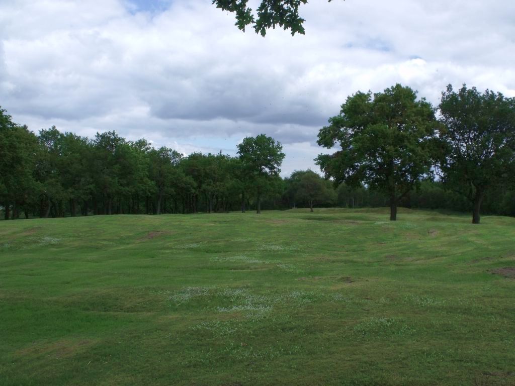
The lilia — rows of pits north-west of the northern causeway that once held sharpened stakes to defend the vulnerable northern gateway.
-
The well-defined Military Way, the Roman road on the south side of the Wall that linked the forts.
-
A turf platform near the fort interpreted as a beacon or signalling platform, and gravel pits dug for building the military road.
Plan your visit
- Location
- 55.9978°N · 3.8560°W
- Nearest settlement
- Bonnybridge
- Access
- Open access
- Terrain
- Moderate walking
- Start point
- Rough Castle · Signposted at Bonnybridge from the B816 between Bonnybridge and High Bonnybridge. Please be aware that the last stage of the journey is along rough, rural farm track. · Alternately, Rough Castle can be reached on foot from the Falkirk Wheel, via a signposted path from the visitor centre. The walk takes about 15 minutes.
- Best time
- Open year-round.
- Start point
- Falkirk Wheel Visitor Centre — Historic Environment Scotland directs visitors to walk from the Falkirk Wheel visitor centre (about 15 minutes). The fort can alternatively be reached by car via a rough rural farm track signposted at Bonnybridge off the B816.
Opening & admission
Free entry
- Open year-round.
Nearby places
Carved stone · Prehistoric
Tappoch Broch
Falkirk
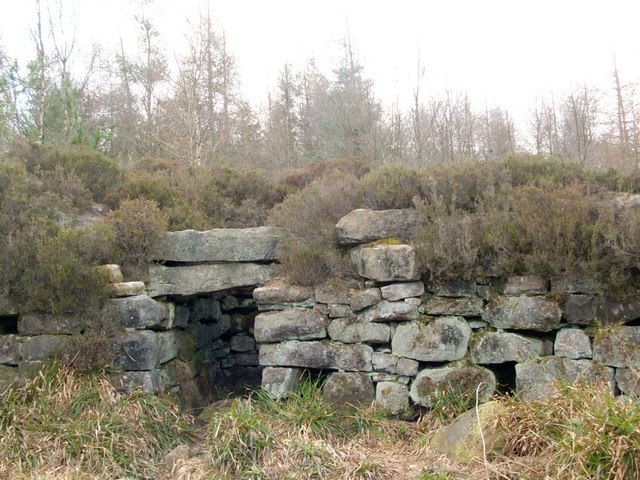
Tappoch Broch is an Iron Age broch set in a remote spot in dense woodland near Falkirk; the dry-stone walls, about six metres thick, still stand tw…
- Near Torwood
- 20 min walk from car park
- Some walking
Sources
- Canmore site record 46803 (accessed 2026-06-13)
- Wikipedia: Rough Castle Fort (accessed 2026-06-13)
- Wikidata Q7370801 (accessed 2026-06-13)
Explore more: Fortified places · Roman · Falkirk
The Ancient Codex, in your pocket
Get the Pocket Codex app
Carry the directory with you — Antonine Wall: Rough Castle and thousands of ancient places across Britain and Ireland, offline, wherever you roam.