
Bare traces near Inveravon Tower mark a place where archaeology has looked for a Roman fort but left little for a casual visitor to read. Inveravon remains one of the more doubtful Antonine Wall fort sites, important precisely because excavation, aerial photography and geophysics have produced evidence without settling every question.
What follows is drawn from published sources, with each claim labelled by how firmly it is established.
History
Inveravon lies on the east side of the River Avon and was long considered a likely fort site on the Antonine Wall, the Roman frontier barrier across central Scotland. The source stresses, however, that it is one of the most dubious fort identifications on the wall.
Excavations near Inveravon Tower found bare traces of a fort, but nothing that an unskilled visitor could identify. Other excavations uncovered foundations and a section of the Military Way, the Roman road serving the wall forts.
Cobbled surfaces and stone walls were also found, along with expansions that may have served as signal or beacon towers. These finds suggest Roman activity while still leaving the exact character of the site uncertain.
In the 1950s aerial photography revealed two temporary marching camps south of the wall and south-east of Inveravon. J. K. St Joseph circulated news of the sites in the Journal of Roman Studies.
In 1960 aerial photography revealed a third camp south of the wall. Additional camps have also been identified at Mumrills and on either side of Grangemouth Golf Course, placing Inveravon within a wider Roman military landscape.
People
-
J. K. St Joseph
Reported the aerial-photography discoveries of Inveravon marching camps in the Journal of Roman Studies.
Connections
-
River Avon
Inveravon is sited on the river's east side.
-
Antonine Wall
Inveravon has been proposed as a fort site on the wall.
-
Military Way
A section of this Roman road was found by excavation.
-
Mumrills
Additional camps in the wider Roman landscape have been identified there.
Discovery & excavation
Excavations and geophysics found traces of a possible fort, foundations, a section of the Military Way, cobbled surfaces, stone walls and possible signal or beacon-tower expansions; aerial photography in the 1950s and 1960 revealed three temporary camps.
Finds now held at: near Inveravon Tower; south of the Antonine Wall; south-east of Inveravon.
What to look for
-
Unclear surface remains
The source says nothing at the possible fort site is easily identifiable to an unskilled visitor.
-
River setting
The site lies on the east side of the River Avon.
-
Military Way evidence
Excavation uncovered a section of the Roman road serving the Antonine Wall.
-
Possible signal structures
Expansions found at the site may have been used as signal or beacon towers.
Plan your visit
- Location
- 56.0013°N · 3.6758°W
- Access
- Open access
- Terrain
- Moderate walking
Opening & admission
No admission arrangement is stated in the source.
- The source says there is nothing that an unskilled visitor could identify.
Nearby places
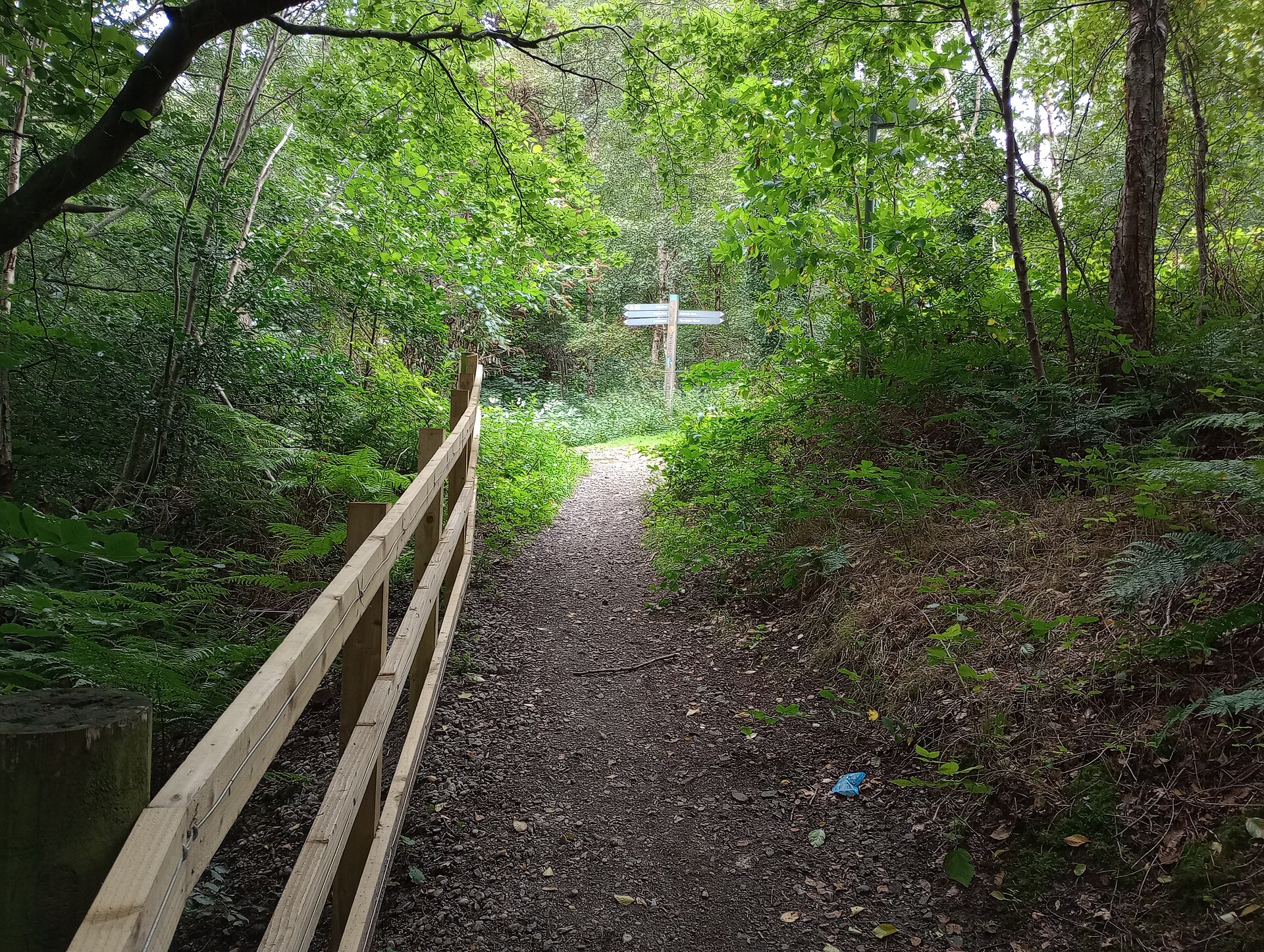
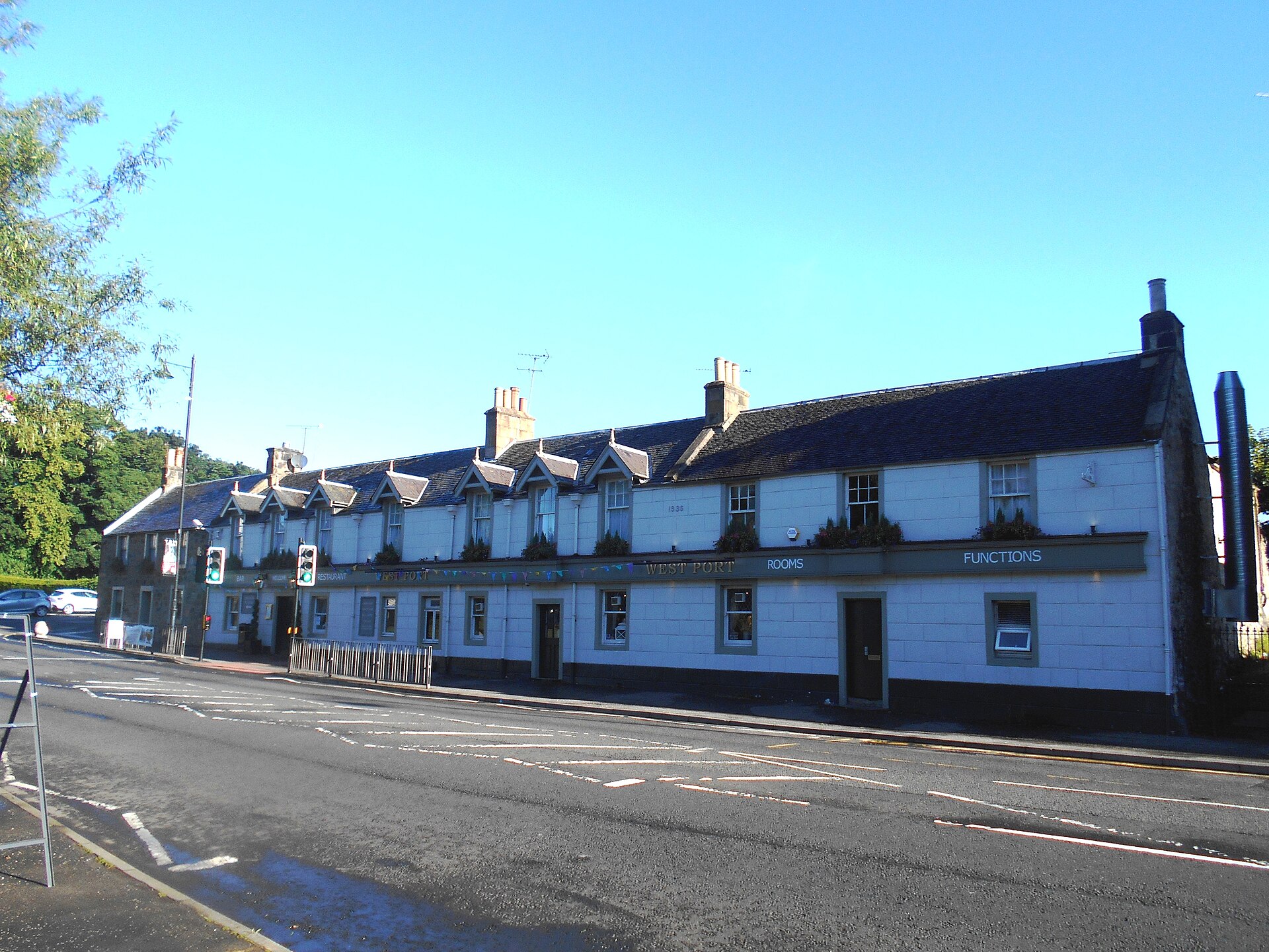
Ancient tree · Medieval
Katie Wearie's Tree
Perth and Kinross
A named, long-standing tree carried in local memory as a landmark — included for its place in the landscape, with age and superlative claims held f…
- Near Perth and Kinross
Building or ruin · Medieval
Linlithgow Palace
West Lothian
It was one of the principal residences of Scotland's Stewart monarchs and the birthplace of Mary, Queen of Scots.
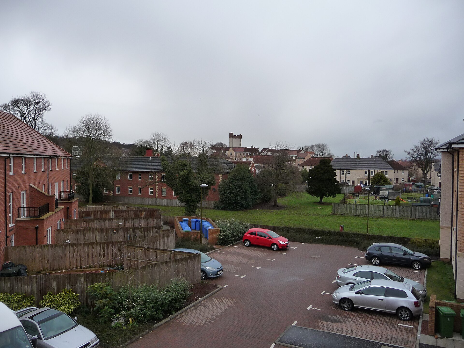
Questions people ask
- What is Inveravon?
- It is a proposed Roman fort site on the Antonine Wall, though the source describes the identification as dubious.
- Can visitors see the fort?
- The source says there is nothing that an unskilled visitor could identify.
- What has excavation found?
- Excavation found foundations, a section of the Military Way, cobbled surfaces, stone walls and possible signal or beacon-tower expansions.
- How were the marching camps found?
- Aerial photography in the 1950s and 1960 revealed temporary camps south of the wall.
Sources
Explore more: Fortified places · Roman · Falkirk
The Ancient Codex, in your pocket
Get the Pocket Codex app
Carry the directory with you — Inveravon and thousands of ancient places across Britain and Ireland, offline, wherever you roam.