
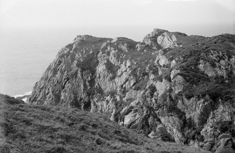
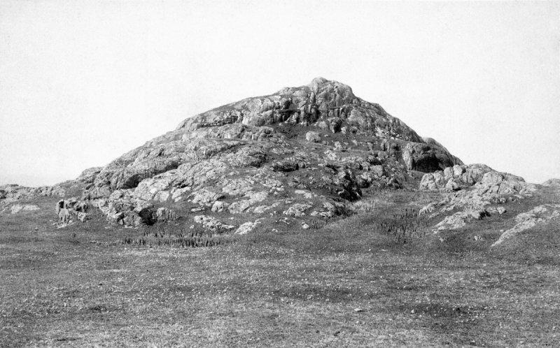
A drystone tower with an internal diameter of 9.2 metres and walls roughly 4.5 metres thick stands on a rocky knoll on the northern coast of Tiree, about a kilometre northwest of the hamlet of Vaul. Its outer wall face survives to a maximum height of 2.2 metres, with the entrance on the southeast side, a guard cell set into the north of the entrance passage, a well-preserved intramural cavity, and the remains of a staircase that once led to the upper levels.
The broch (an Iron Age drystone round tower) was reinforced by two outer lines of defence: one drawn round the irregular margin of the summit on all sides, and a hornwork that restricted approach from the landward side of the knoll. Radiocarbon dating placed its construction in the 1st century AD, on a site that had already seen two earlier phases of occupation.
What follows is drawn from published sources, with each claim labelled by how firmly it is established.
The name
The name derives from Scottish Gaelic Dùn Mòr, meaning "great fort" or "great dun". The site is also known simply as Dun Mor, with "Vaul" taken from the nearby hamlet.
History
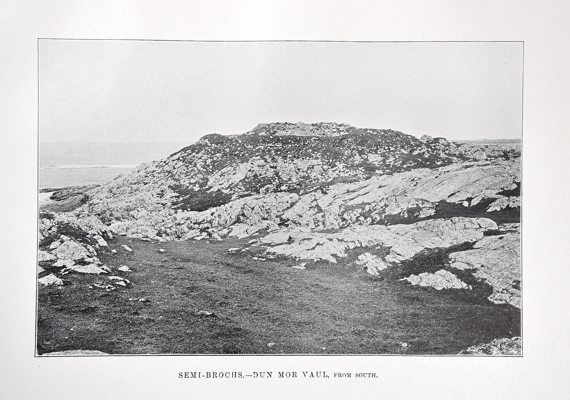
In the earliest recorded phase, dated to the 5th century BC, a wooden hut stood on the knoll and may have been destroyed by fire; it was followed by a more extensive settlement covering a larger part of the summit.
After an interval of unknown duration, possibly several centuries, the knoll was reoccupied and construction of the broch and its outworks began, dated by radiocarbon to the 1st century AD.
The broch was used initially as a communal refuge, but by the 2nd century AD it had become the permanent residence of a single family; the upper storeys were later demolished and a round house or aisled wheel-house was built within the interior.
The broch appears to have been abandoned in the mid 3rd century AD, the latest datable artefact from the interior being a fragment of a Roman glass bowl made in the Rhineland between 160 and 250 AD.
People
-
Euan W. MacKie
Archaeologist who almost completely excavated the broch in 1962–4 and published the definitive site report
Connections
-
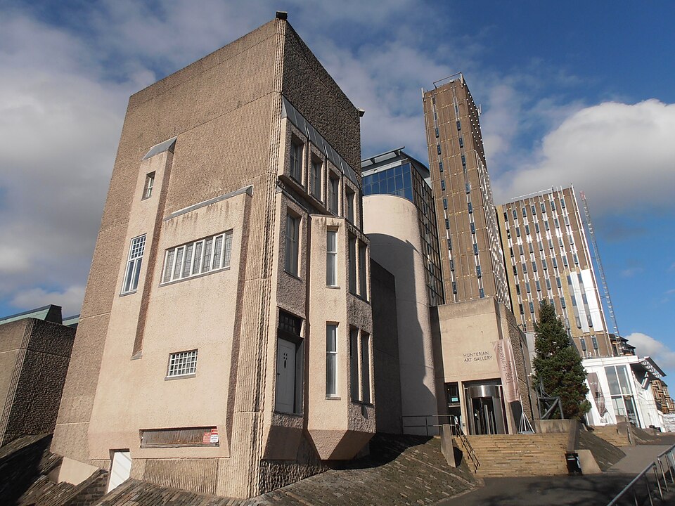
Photo: Ham / Wikimedia Commons / CC BY-SA 3.0 Hunterian Museum, University of Glasgow
Holds the finds recovered from the excavations
-
Tiree
The island on whose north coast the broch stands, about 1 kilometre northwest of the hamlet of Vaul
Discovery & excavation
The broch was partly excavated around 1880 and almost completely excavated by E. W. MacKie in 1962–4. The excavations revealed two phases of occupation predating the broch, dated its construction to the 1st century AD by radiocarbon, and recovered finds including large quantities of native pottery sherds, fragments of Roman glass, samian-ware and coarse-ware vessels, bronze and silver spiral finger-rings, rotary querns, quartzite strike-lights, glass ring-beads, bone tools and dice, and several tools used in weaving and metalworking.
Finds now held at: Hunterian Museum, University of Glasgow.
What to look for
-
The surviving tower wall
The drystone tower has an internal diameter of 9.2 metres and walls about 4.5 metres thick, with the outer face surviving to a maximum height of 2.2 metres.
-
Guard cell at the entrance
The entrance lies on the southeast side; on the north of the entrance passage is a small side-chamber of the type usually called a guard cell.
-
Intramural stair
The intramural cavity is well-preserved, and on the north side are the remains of a staircase that once led to the upper levels.
-
Outer defences
Two outer lines of defence survive: one running round the irregular margin of the summit, and a hornwork that restricted access from the landward side of the knoll.
Plan your visit
- Location
- 56.5421°N · 6.8135°W
- Access
- Open access
- Terrain
- Moderate walking
Nearby places
Questions people ask
- What is Dun Mor Vaul?
- It is an Iron Age broch, a drystone defensive tower, on the north coast of the island of Tiree in Scotland, about 1 kilometre northwest of the hamlet of Vaul.
- How old is the broch?
- Radiocarbon dating placed the broch's construction in the 1st century AD, though the knoll had earlier occupation phases dating back to a wooden hut of the 5th century BC.
- When was it excavated and by whom?
- It was partly excavated around 1880 and almost completely excavated by archaeologist E. W. MacKie in 1962–4.
- Where are the finds from the broch now?
- The finds, including native pottery, Roman glass and samian-ware, spiral finger-rings, querns and bone tools, are now held in the Hunterian Museum at the University of Glasgow.
- How well does the broch survive?
- The outer wall face survives to a maximum height of 2.2 metres, with the entrance, a guard cell, a well-preserved intramural cavity, and the remains of a staircase all still visible.
Sources
- Wikipedia: Dun Mor Vaul (accessed 2026-07-18)
- Euan W. Mackie (1975), Dun Mor Vaul: An Iron Age Broch on Tiree, University of Glasgow, ISBN 0852611129 (accessed 2026-07-18)
Explore more: Fortified places · Iron Age · Argyll and Bute
The Ancient Codex, in your pocket
Get the Pocket Codex app
Carry the directory with you — Dun Mor Vaul and thousands of ancient places across Britain and Ireland, offline, wherever you roam.