
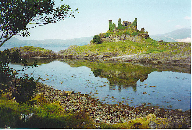
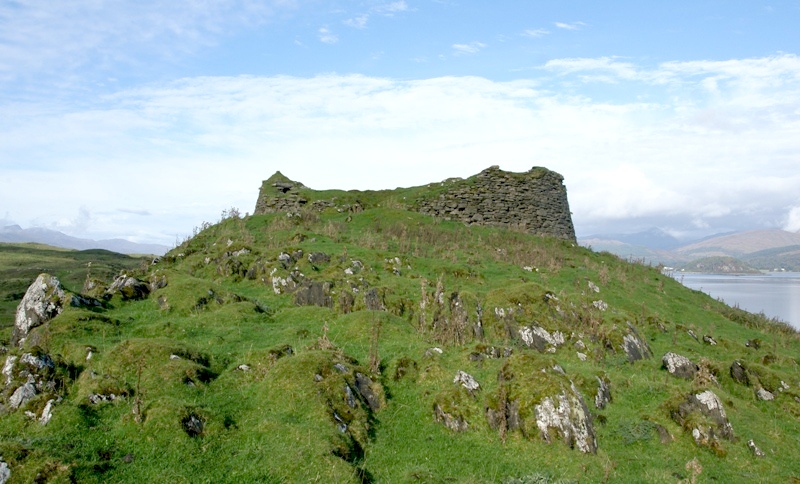
Limestone rises above the north-west shore of Lismore, carrying the broken curtain walls of Achanduin Castle over Loch Linnhe. The ruin is a medieval castle, probably built by the MacDougalls around 1290, though it was long associated with the bishops of Argyll.
Excavations in the 1970s complicated the older story. They revealed ranges inside the courtyard, possible pre-castle activity, and a later life as a farmstead after the castle’s main medieval occupation had faded.
What follows is drawn from published sources, with each claim labelled by how firmly it is established.
History
Achanduin Castle dates from the 13th century.
Recent research makes a MacDougall origin around 1290 more likely than construction by the Bishop of Argyll.
A 1304 grant made at Achichendone shows the castle in MacDougall hands.
The MacDougalls forfeited many possessions after 1308, following the Battle of the Pass of Brander and the loss of Dunstaffnage.
The castle saw little occupation from about 1400 until its later use as a farmstead.
Dennis Turner excavated Achanduin over six seasons between 1970 and 1975.
Worked stone of prehistoric type was found, suggesting possible prehistoric activity on the ridge.
People
-
Dennis Turner
Led excavations at Achanduin Castle between 1970 and 1975.
-
David H Caldwell
Helped complete Turner's excavation report from surviving notes.
-
Geoffrey P Stell
Helped complete Turner's excavation report from surviving notes.
-
Eugenil de Ergadia, Lord of Lorn
Made a 1304 grant at Achichendone.
Connections
-
Lismore
The castle stands on the island's north-west coast.
-
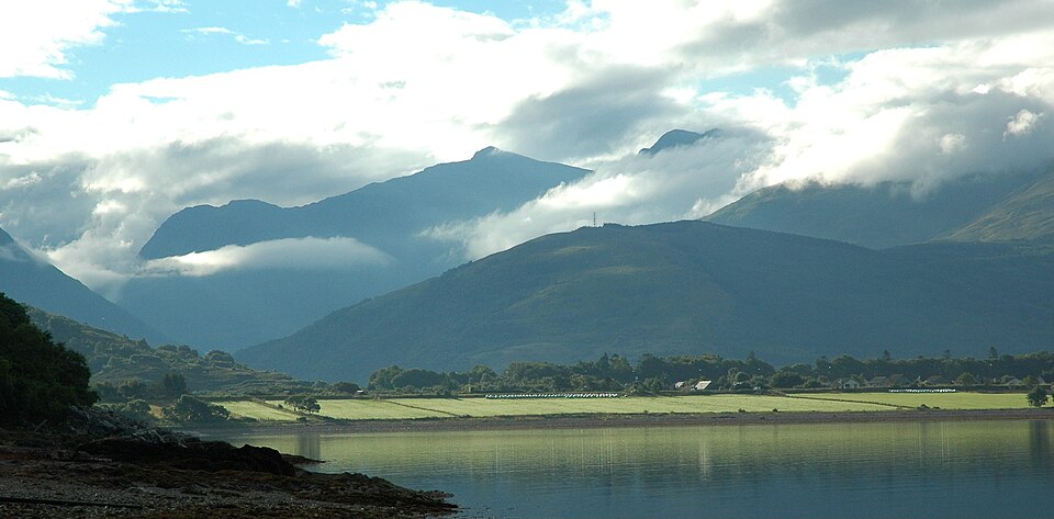
Photo: Unknown / Wikimedia Commons / CC BY-SA 3.0 Loch Linnhe
The castle overlooks the sea loch and Bernera Island.
-
MacDougalls of Lorn
The family are now considered the likelier medieval builders and holders of the castle.
-
Dunollie
The MacDougalls may have shifted focus to the mainland and Dunollie in the 15th century.
What to look for
-
Limestone ridge
The castle occupies the summit of a ridge on the shore.
-
North-east and north-west walls
These parts of the curtain wall survive most strongly.
-
Courtyard ranges
Excavation identified at least two building ranges inside the enclosure.
-
Farmstead traces
The site was reused as a farmstead in the 17th to 19th centuries.
Plan your visit
- Location
- 56.4944°N · 5.5689°W
- Terrain
- Rough ground — reasonable boots advised
Opening & admission
Check locally before travelling
- The ruin stands on a limestone ridge on Lismore's north-west shore.
- The source does not give public access arrangements.
Nearby places
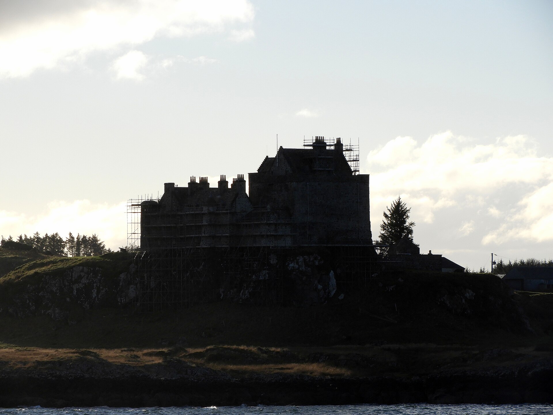
Fortified place · Medieval
Duart Castle
Argyll and Bute
The medieval stronghold and ancestral seat of Clan MacLean, reclaimed and restored by the clan's chief in 1911 after more than a century as a ruin.
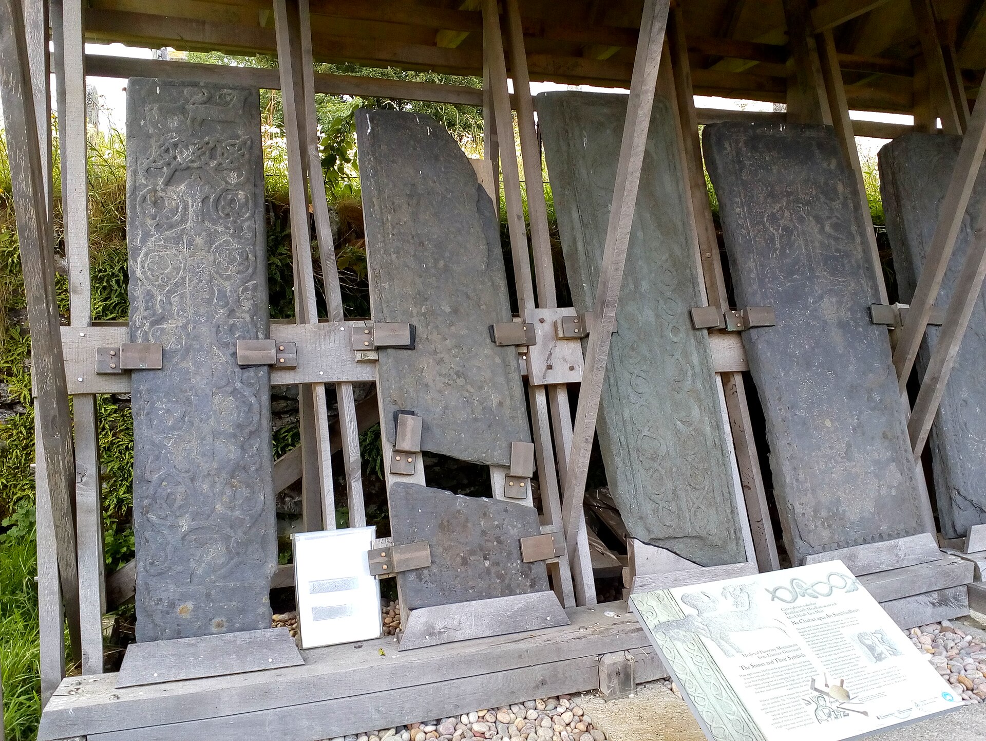
Sacred place · Medieval
St Moluag's Cathedral, Lismore
Argyll and Bute
It preserves the much-reduced remains of the cathedral of the medieval diocese of Argyll, rooted in a monastery traced to the sixth-century saint M…
Questions people ask
- Who built Achanduin Castle?
- It was long attributed to the Bishop of Argyll, but recent research makes a MacDougall origin around 1290 more likely.
- Where is Achanduin Castle?
- It stands on a limestone ridge on the north-west coast of Lismore, overlooking Loch Linnhe and Bernera Island.
- Was Achanduin Castle excavated?
- Yes. Dennis Turner excavated it over six seasons from 1970 to 1975, and the report was later completed from his notes.
- What survives there?
- Curtain walls, courtyard ranges and later farmstead evidence survive, with the north-east and north-west walls standing best.
Sources
Explore more: Building or ruins · Medieval · Argyll and Bute
The Ancient Codex, in your pocket
Get the Pocket Codex app
Carry the directory with you — Achanduin Castle and thousands of ancient places across Britain and Ireland, offline, wherever you roam.