
A small Roman installation sits near the Highland Line north of Kirriemuir. Inverquharity was a Roman fortlet, a compact military post smaller than a full fort, probably built during the Flavian occupation of northern Scotland.
Inverquharity matters because it marks a strategic edge. Its place near a valley mouth, its double ditches revealed by aerial photography and geophysics, and its link with Strathmore and Glenblocker forts show Rome testing the boundary between lowland routes and Highland approaches.
What follows is drawn from published sources, with each claim labelled by how firmly it is established.
History
Inverquharity was probably constructed during the Flavian period between 70 and 86 CE.
It forms part of the Strathmore forts alongside Inchtuthil, Cargill, Cardean, and Stracathro.
Its position near the Highland Line and a small valley mouth supports its inclusion among the Glenblocker forts.
Aerial photography and geophysical study have shown two ditches.
At least one ditch has been affected by erosion of the sand cliff on which the fortlet sits.
Very little archaeological work has taken place, and internal structures remain unknown.
People
-
Roman army
Built and used the fortlet as part of northern frontier control.
-
D. Breeze
Author of major works cited for Roman northern frontiers.
-
W. S. Hanson and G. Maxwell
Authors cited in the source bibliography on Rome's north-west frontier.
Connections
-
Strathmore forts
Inverquharity belongs to this Roman fort sequence.
-
Inchtuthil
One of the larger Strathmore Roman sites.
-
Cargill, Cardean, and Stracathro
Related Roman installations in the same regional system.
-
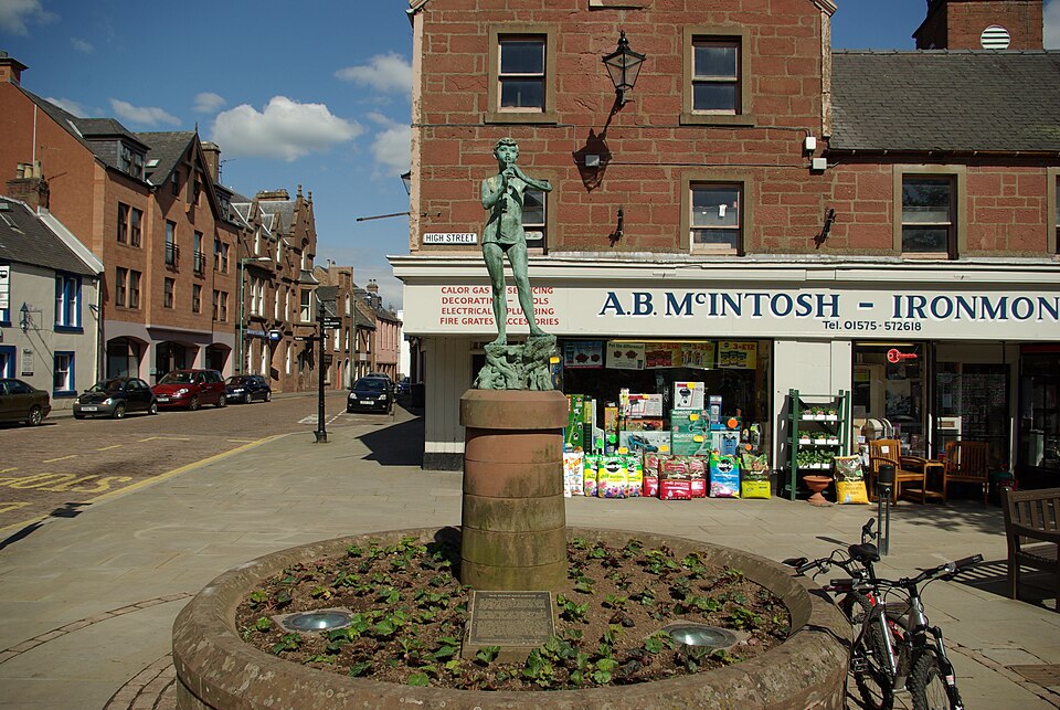
Photo: Nick / Wikimedia Commons / CC BY-SA 3.0 Kirriemuir
Nearest town south of the fortlet.
What to look for
-
Fortlet scale
A fortlet is a smaller Roman military post rather than a full-sized fort.
-
Double ditches
The two ditches are known from aerial and geophysical evidence.
-
Highland Line position
The site stands near the transition from lowland Angus toward Highland approaches.
-
Unknown interior
The source records no known internal structures.
-
Eroded edge
One ditch has been eroded or affected by the sand cliff.
Plan your visit
- Location
- 56.7094°N · 2.9631°W
- Access
- Visible from a public way
- Terrain
- Moderate walking
Opening & admission
- Rural fortlet site with limited visible remains; use mapped access and avoid unstable eroded edges.
Nearby places
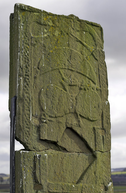
Carved stone · Pictish & early medieval
St Orland's Stone
Angus
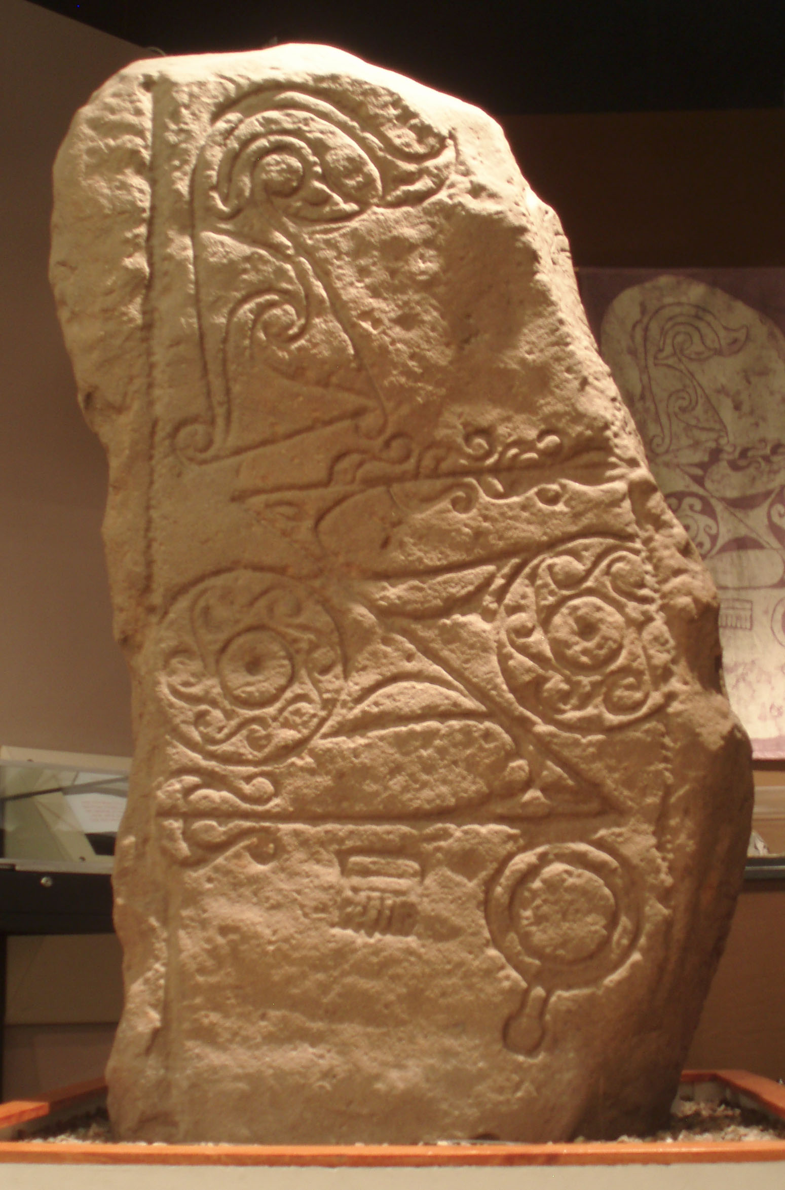
The stone is a Class II Pictish cross-slab - worked Old Red Sandstone carved in relief on both faces, bearing Pictish symbols alongside a Christian…
- Near Forfar
- 15 min walk from car park
- Easy path
Questions people ask
- What is Inverquharity?
- It is a Roman fortlet north of Kirriemuir in Angus.
- What is a fortlet?
- A fortlet is a small Roman military post, smaller than a full fort.
- When was it built?
- It is assumed to belong to the Flavian period, between 70 and 86 CE.
- What is known archaeologically?
- Aerial photography and geophysics show two ditches, but internal structures are unknown.
Sources
Explore more: Fortified places · Roman · Angus
The Ancient Codex, in your pocket
Get the Pocket Codex app
Carry the directory with you — Inverquharity and thousands of ancient places across Britain and Ireland, offline, wherever you roam.