
Low Roman earthworks lie in the farmland north of Forfar. Battledykes was a Roman camp, a temporary military enclosure for troops on campaign, and later tradition placed it in a landscape of Picts resisting repeated Roman incursions.
Battledykes matters because it belongs to a chain of marching camps reaching north through Angus and the Mearns. The reported scale of the camp, the link with Stracathro, Raedykes, and Normandykes, and Hector Boece’s story of Pictish chiefs near Forfar Loch show how archaeology and national origin tales became tangled here.
What follows is drawn from published sources, with each claim labelled by how firmly it is established.
History
Battledykes was established as a Roman camp north of Forfar.
Hector Boece associated the area with Pictish chiefs planning resistance to Roman armies.
The camp has been assessed as capable of holding a very large force.
Roman camps north of Battledykes included Stracathro, Raedykes, and Normandykes.
The site is protected as scheduled monument SM2308.
People
-
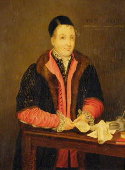
Portrait: Unknown artistUnknown artist / Wikimedia Commons / Public domain Hector Boece
Recorded a tradition about Pictish chiefs meeting near Forfar Loch.
-
Roman army
Built and used the camp during campaigns in northern Britain.
-
Picts
Later historical tradition presents them as resisting Roman advances in this landscape.
Connections
-
Stracathro
Roman camp north of Battledykes in the same marching-camp sequence.
-
Raedykes
Another Roman camp farther north.
-
Normandykes
Part of the broader Roman military route north.
-
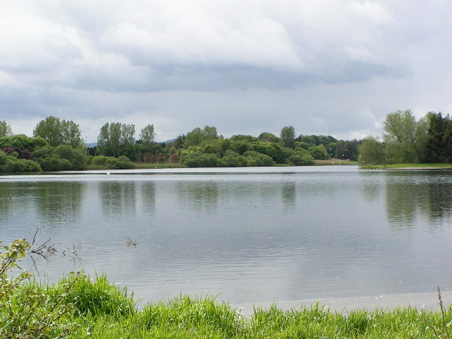
Photo: Karen Vernon / Wikimedia Commons / CC BY-SA 2.0 Forfar Loch
Traditional location of Boece's Pictish council story.
What to look for
-
Camp earthworks
Roman camp earthworks are banks and ditches marking a temporary enclosure.
-
Campaign chain
Battledykes forms part of a northward sequence of Roman camps.
-
Forfar setting
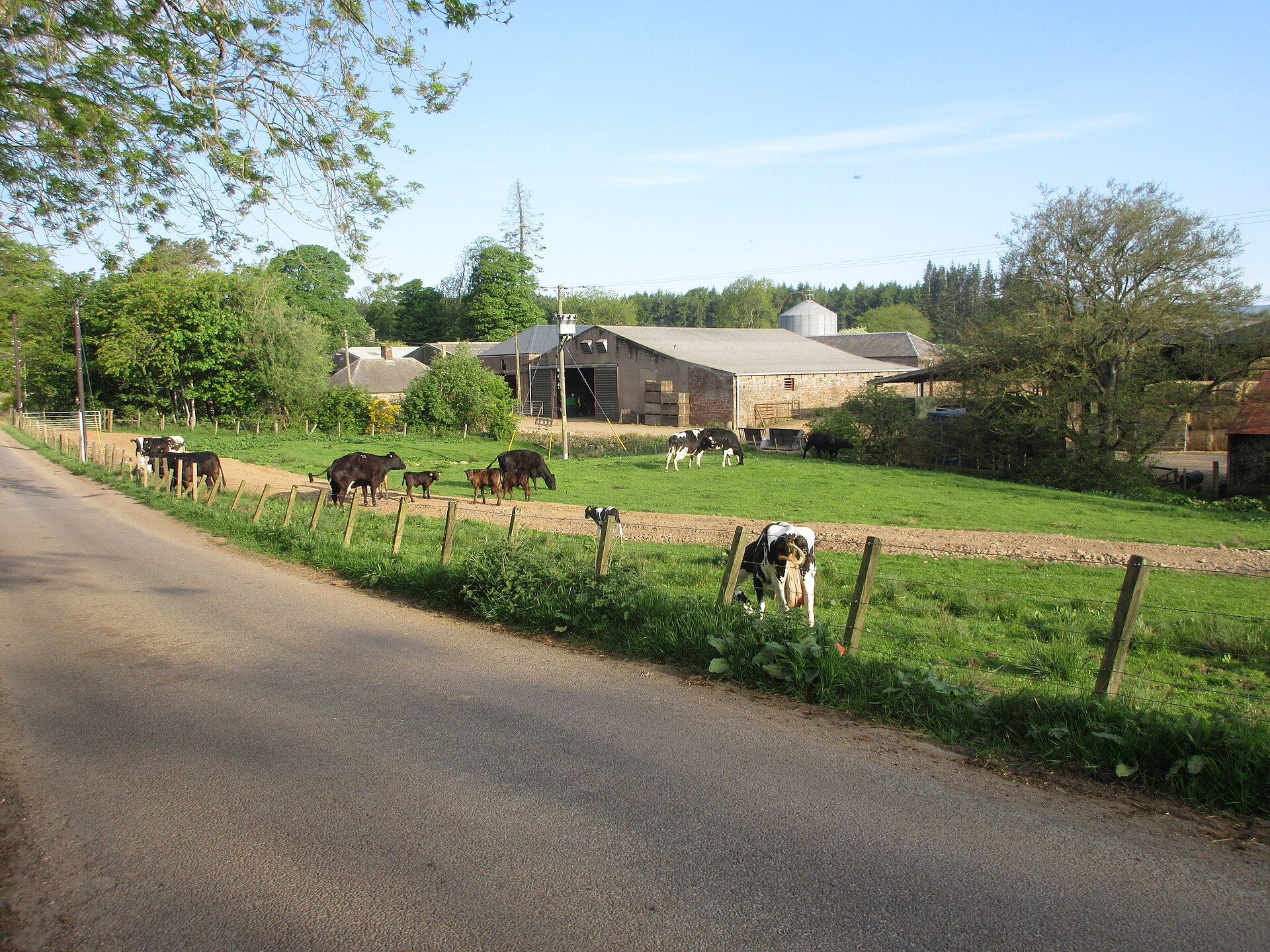
The site sits just north of Forfar, close to the traditional Forfar Loch story.
-
Scheduled site
The scheduled status protects the buried and visible archaeological remains.
Plan your visit
- Location
- 56.6914°N · 2.8836°W
- Access
- Visible from a public way
- Terrain
- Moderate walking
Opening & admission
- Rural Roman camp earthworks; use mapped access and avoid crossing private land without permission.
Nearby places
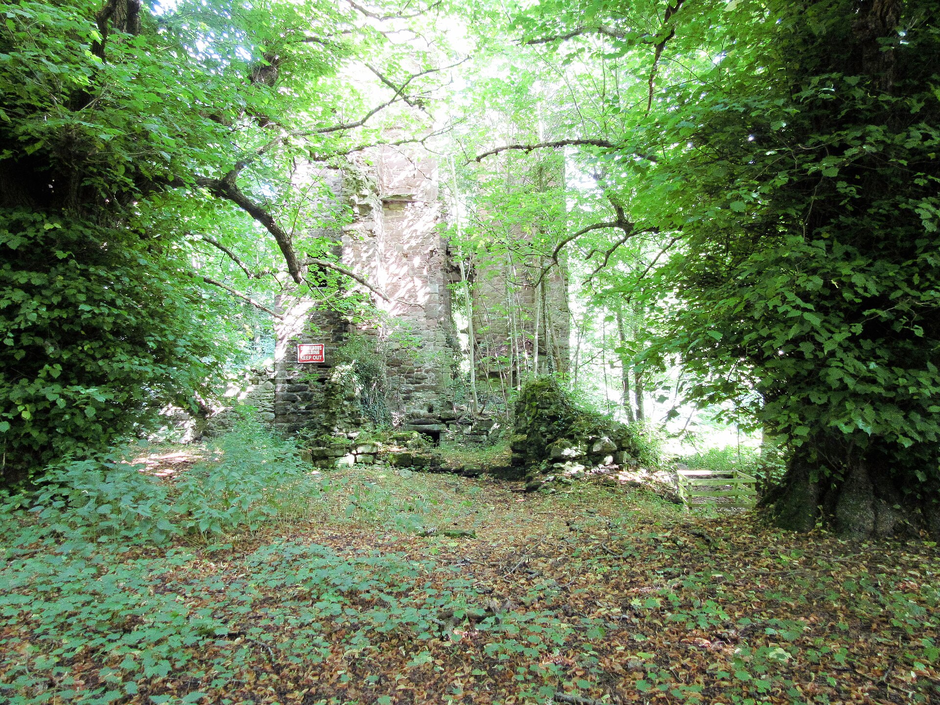
Fortified place · Medieval
Finavon Castle
Angus
It preserves the seat of the Lindsay Earls of Crawford, among medieval Angus's foremost noble families, from their rise in 1375 to the loss of the…
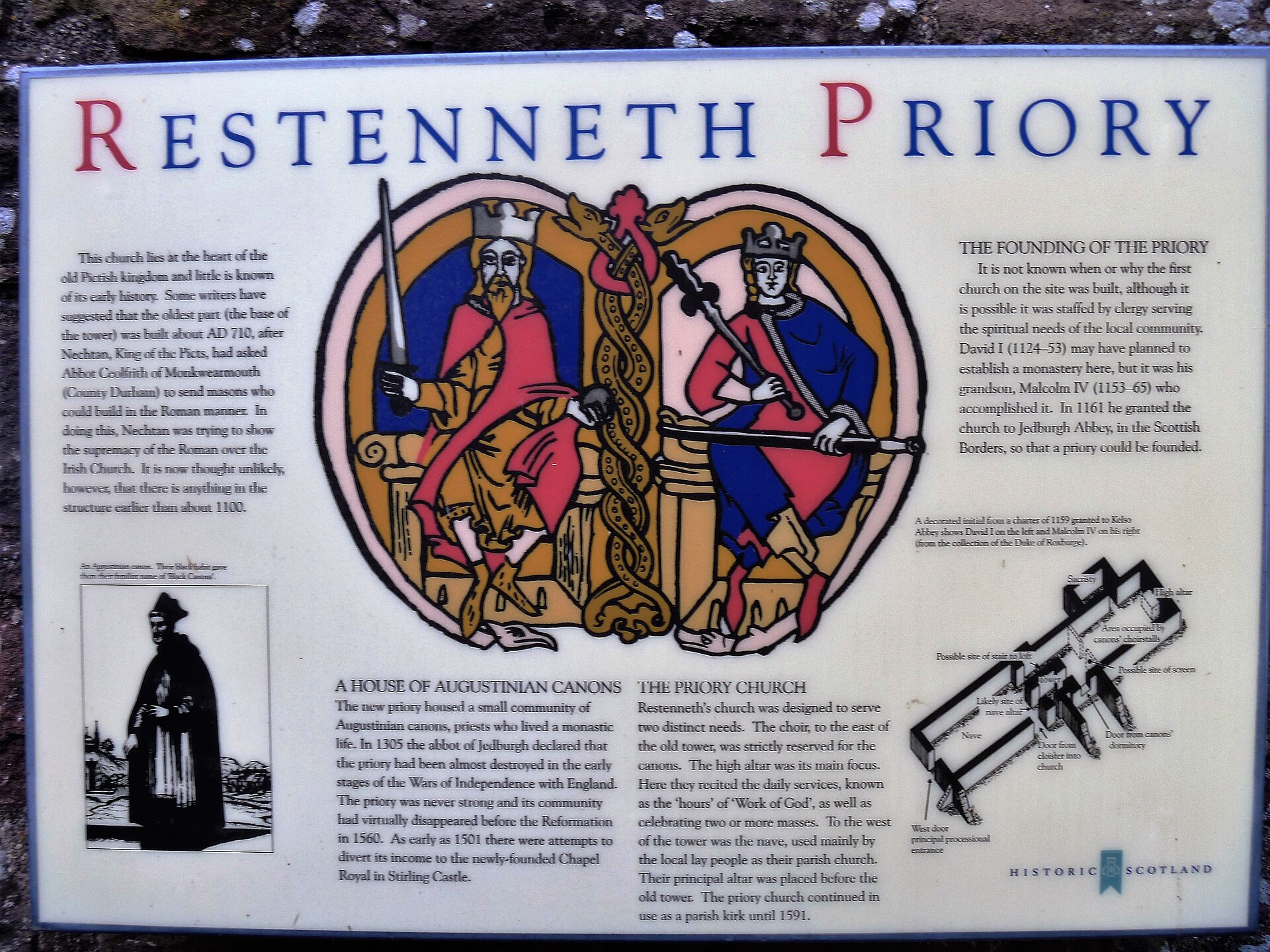
Building or ruin · Pictish & early medieval
Restenneth Priory
Angus
Restenneth Priory was a monastic house of Augustinian canons founded by Jedburgh Abbey, under the patronage of King Malcolm IV of Scotland, in 1153…
- Near Forfar
- 3 min walk from car park
Questions people ask
- What is Battledykes?
- It is a Roman camp slightly north of Forfar in Angus.
- What was a Roman camp?
- It was a temporary military enclosure used by troops during campaigns or movements.
- Which other camps are linked with it?
- Stracathro, Raedykes, and Normandykes are named in the northward sequence from Battledykes.
- Is Battledykes protected?
- Yes. Historic Environment Scotland lists it as scheduled monument SM2308.
Sources
Explore more: Fortified places · Roman · Angus
The Ancient Codex, in your pocket
Get the Pocket Codex app
Carry the directory with you — Battledykes and thousands of ancient places across Britain and Ireland, offline, wherever you roam.