
Tap o' Noth is a hillfort on the summit of its hill in Aberdeenshire - the second highest fort in Scotland - whose principal feature is a well-preserved vitrified wall enclosing about 0.3 hectares…
Tap o’ Noth Hillfort is a fortified place near Rhynie, Aberdeenshire, Scotland.
What follows is drawn from published sources, with each claim labelled by how firmly it is established.
History
Tap o' Noth is a hillfort on the summit of its hill in Aberdeenshire - the second highest fort in Scotland - whose principal feature is a well-preserved vitrified wall enclosing about 0.3 hectares (roughly 100 m by 30 m).
The summit vitrified fort sits within a much larger outer rampart enclosing some 7 hectares. This outer rampart was built in the fifth to sixth centuries AD, and large-scale settlement within it may reach back as far as the third century AD, contemporary with the Pictish culture.
Drone photography and lidar survey suggest the site held as many as 800 huts - many in groups around a larger central hut - leading it to be described as the largest known settlement in early-medieval (post-Roman) Britain.
People
-
James Macdonald
Antiquarian who led an excavation of the vitrified summit fort in the 1880s
-
University of Aberdeen, Northern Picts: Rhynie Environs Project
Ran archaeological investigation of the summit fort, the later rampart and Pictish-period house platforms between 2017 and 2022
-
The Picts
Culture contemporary with the later large-scale settlement on the hill
Cultural influences
-
Pictish-era northern Scotland - the later settlement is contemporary with the Pictish culture and sits within the wider Rhynie complex investigated by the Northern Picts project.
Connections
-
Rhynie Man
Pictish carved standing stone found on Barflat farm in the nearby valley
-
Rhynie valley post-Roman settlement
Nearby high-status settlement with evidence of Mediterranean wine, glass vessels from western France and intensive metalwork - interpreted as a possibly royal centre
-
Huntly
Nearest town, about 8 miles to the north
Discovery & excavation
James Macdonald excavated the vitrified summit fort in the 1880s, and the University of Aberdeen's Northern Picts: Rhynie Environs Project investigated the summit fort, the outer rampart and Pictish-period house platforms between 2017 and 2022. Finds from the site include a stone axe head dated to c. 2000 BC - c. 800 BC and a decorated bronze rein-ring dated to the 1st-3rd century AD.
What to look for
-
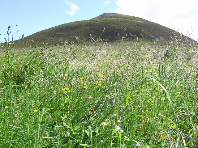
The vitrified wall of the summit fort - stone fused by intense heat - enclosing about 0.3 hectares; the fort is the second highest in Scotland.
-
The much larger outer rampart enclosing some 7 hectares of hillside, built in the fifth to sixth centuries AD.
-
The Pictish-period house platforms within the outer enclosure - survey suggests as many as 800 huts once stood here.
Plan your visit
- Location
- 57.3513°N · 2.8583°W
- Nearest settlement
- Rhynie
- Access
- Reached on a public path
- Terrain
- Moderate walking
- Start point
- Tap o' Noth trailhead car park (near Rhynie/Scurdargue) — Park at the trailhead car park on the minor road north-west of Rhynie. From here it is a steep uphill walk to the hillfort on the summit of Tap o' Noth (~320m climb); the 977m figure is straight-line to the summit, the walked route is longer and strenuous. Allow around 1.5-2 hours return.
Nearby places
Sources
- Canmore site record 17169 (accessed 2026-06-13)
- Trove (HES) record (accessed 2026-06-13)
- Wikipedia: Tap o' Noth (accessed 2026-06-13)
- Wikidata Q1690932 (accessed 2026-06-13)
Explore more: Fortified places · Iron Age · Aberdeenshire
The Ancient Codex, in your pocket
Get the Pocket Codex app
Carry the directory with you — Tap o' Noth Hillfort and thousands of ancient places across Britain and Ireland, offline, wherever you roam.