
Two ditches and a rectangular rampart still define Castle Greg on the edge of the Camilty Plantation, just off the B7008 south-east of West Calder. The work is small, less than an acre, but its earthworks survive with unusual clarity: the ditches once fell at least fifteen feet, and the rampart behind them still rises to about five feet in places.
The fortlet belonged to the Roman military landscape of central Scotland. In the 1st century AD, before plantation trees closed in around the site, its soldiers would have looked across open country towards the Fife coast and the hills beyond, watching an east-west road that ran along the foot of the Pentlands from the Forth towards the Clyde Valley.
What follows is drawn from published sources, with each claim labelled by how firmly it is established.
The name
The name Castle Greg is possibly linked to the Roman name Camulosessa Praesidium, with nearby Camilty explained in the pack as deriving from Camulos Tref, or village of Camulos.
History
During the 1st century AD, Castle Greg most likely served as a Roman monitoring post beside an east-west road running along the foot of the Pentlands. The route connected the Forth with the Clyde Valley, giving this small fortlet a practical role in watching movement across central Scotland.
The surviving defences show how compact but carefully controlled the site was. Two ditches protected a rectangular rampart, and those ditches would originally have been at least fifteen feet deep. Behind them, the rampart carried a wooden palisade at least ten feet high, with a walkway running along the length of the fortlet.
Access into the enclosure was arranged through the eastern end of the rampart. A wooden tower would have stood over that entrance and connected with the walkway, turning the gate into both a controlled doorway and a raised point of observation.
Inside the flat enclosure, little is now visible, but the pack records the internal arrangement as two rows of barracks with a well between them, alongside a stable block. The fortlet was therefore not simply a line of earthworks; it held the buildings needed for a small garrison and its animals.
In 1852, Sir Daniel Wilson excavated the interior, continuing the 19th-century investigation of the site. Pottery was found in the well between the two barrack rows, giving one of the clearest recorded finds from the fortlet.
People
-
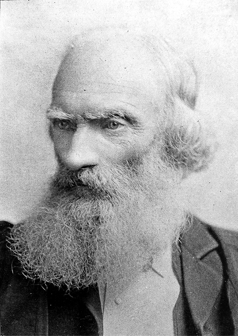
Portrait: Cochrane, William, 1831-1898 / Wikimedia Commons / Public domain Sir Daniel Wilson
Sir Daniel Wilson carried out the 1852 excavation of the fortlet interior.
Connections
-
Camilty Plantation
Castle Greg lies at Harburn on the Camilty Plantation.
-
Pentlands road corridor
The fortlet most likely monitored an east-west road running along the foot of the nearby Pentlands.
Discovery & excavation
Castle Greg was first excavated in the 19th century. Sir Daniel Wilson excavated the interior in 1852, when pottery was discovered in the well between the two barrack rows.
Finds now held at: well between the two barracks.
What to look for
-
Double ditches
The fortlet is defended by two ditches, originally at least fifteen feet deep.
-
Rectangular rampart
A clearly visible rectangular rampart survives behind the ditches, standing up to five feet high in places.
-
Eastern entrance
The entrance through the rampart lies at the eastern end, where a wooden tower would once have stood.
-
Flat interior
The interior is now quiet and largely empty, though the pack records two rows of barracks, a central well and a stable block.
Plan your visit
- Location
- 55.8172°N · 3.5171°W
- Access
- Open access
- Terrain
- Moderate walking
Opening & admission
The pack does not confirm admission or opening arrangements.
- The site lies just off the B7008 on the Camilty Plantation.
Nearby places
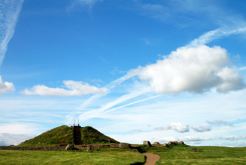
Tomb or burial place · Prehistoric
Cairnpapple Hill
West Lothian
Cairnpapple Hill, on a dominating summit 312 metres above sea level with views from coast to coast in central lowland Scotland, was used and re-use…
- Near Bathgate
- 264 metres from car park
- Easy path
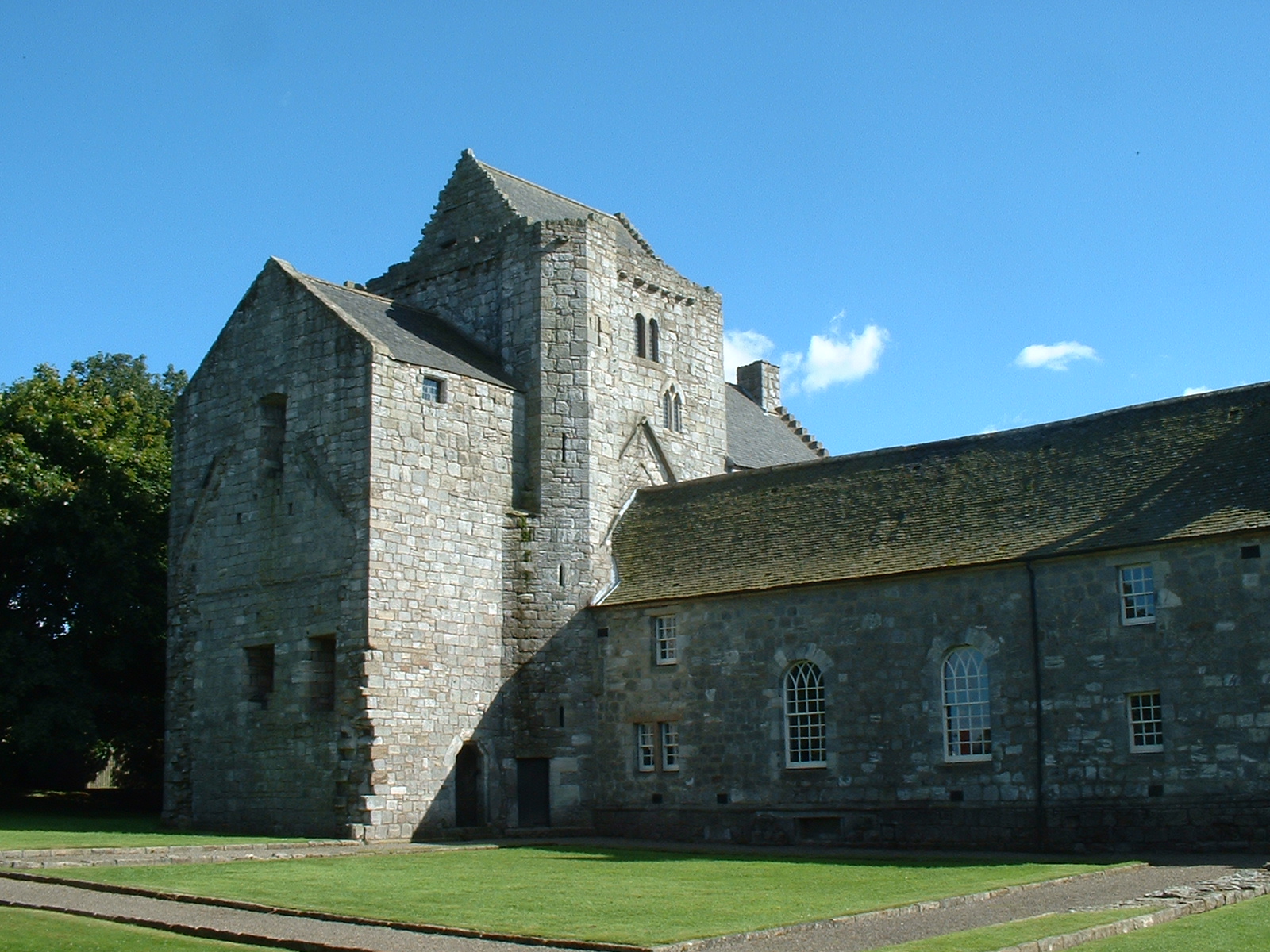
Building or ruin · Medieval
Torphichen Preceptory
West Lothian
The Knights Hospitaller of the Order of St John of Jerusalem were invited to Scotland in 1132 by David I, and the preceptory — their Scottish headq…
- Near Torphichen
- 1 min walk from car park
Questions people ask
- What was Castle Greg?
- Castle Greg was a Roman fortlet at Harburn on the Camilty Plantation, about three miles south-east of West Calder.
- What can still be seen at Castle Greg?
- The pack records two defensive ditches and a clearly visible rectangular rampart, with the rampart still standing up to five feet high in places.
- What was found during excavation?
- During Sir Daniel Wilson's 1852 excavation of the interior, pottery was found in the well between the two barrack rows.
- Why was this small fortlet placed here?
- Castle Greg was most likely used to monitor an east-west road running along the foot of the Pentlands from the Forth towards the Clyde Valley.
Sources
- Wikipedia article
- Wikidata
- Royal Commission on the Ancient and Historical Monuments of Scotland site description
- Roman Britain site with pictures
Explore more: Fortified places · Roman · West Lothian
The Ancient Codex, in your pocket
Get the Pocket Codex app
Carry the directory with you — Castle Greg and thousands of ancient places across Britain and Ireland, offline, wherever you roam.