
Three ramparts, ditches and the memory of timber palisades mark the Iron Age stronghold on Castle Law’s slopes. South-west of Fairmilehead in the Pentland Hills, the scheduled fort looks out across the Forth and Lothian towards other major Iron Age places.
When occupied, the stronghold had three earthwork ramparts, ditches and timber palisades. It also held a souterrain (an underground stone-lined passage) for storing agricultural produce, making the site not just a lookout and defence work but part of a working farming landscape.
What follows is drawn from published sources, with each claim labelled by how firmly it is established.
History
In the Iron Age, Castle Law was occupied as a fortified stronghold on the slopes of the Pentland Hills. Its defences consisted of three earthwork ramparts, ditches and timber palisades.
The fort contained a souterrain used for storing agricultural produce. That underground storage points to the everyday economy behind the defences, where food security mattered alongside the site's visual command.
The fort commands views over the Forth and Lothian. Traprain Law and Berwick Law, both significant centres of power in the Iron Age, are visible from the site, tying Castle Law into a wider landscape of hilltop authority.
In 1932-33 V. Gordon Childe excavated at Castlelaw. His work focused on the rampart and showed that it had a clay and timber filling faced with stone.
The site is now maintained by Historic Environment Scotland as a scheduled monument. Access is free, but the pack notes that the hill is active sheep pasture and neighbours an army firing range, so visitors should keep dogs under control and avoid areas marked by red flags.
In 2017 AOC Archaeology began further excavations at Castle Law, listed in the pack among the external sources for the site.
People
-
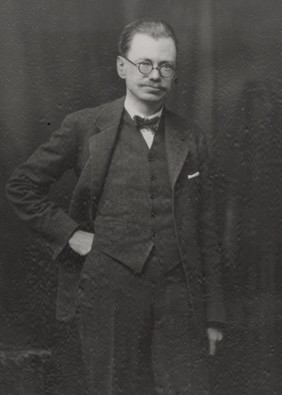
Portrait: Swan Watson, Andrew / Wikimedia Commons / Public domain V. Gordon Childe
V. Gordon Childe excavated Castlelaw in 1932-33 and examined the structure of the rampart.
Cultural influences
-
Iron Age hilltop power
Views to Traprain Law and Berwick Law place Castle Law within a broader pattern of Iron Age hilltop centres.
-
Agricultural storage
The souterrain shows that storage of produce was part of the fort's life, not merely a defensive afterthought.
Connections
-
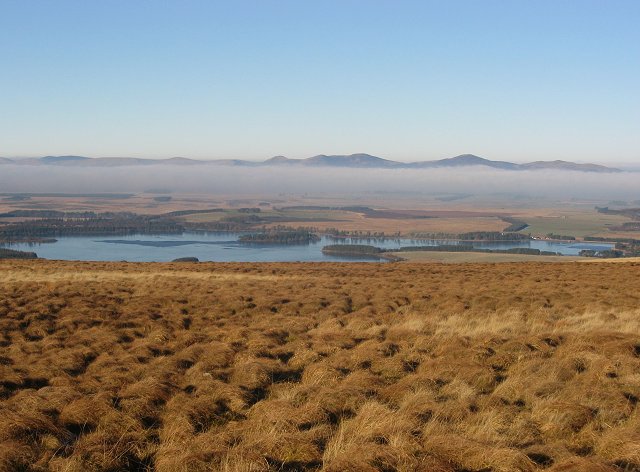
Photo: Richard Webb / Wikimedia Commons / CC BY-SA 2.0 Pentland Hills
Castle Law lies in the Pentland Hills south-west of Fairmilehead.
-
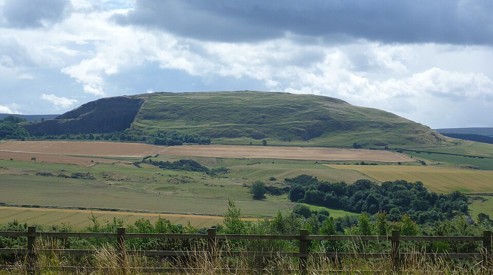
Photo: Kim Traynor / Wikimedia Commons / CC BY-SA 3.0 Traprain Law
Traprain Law is visible from Castle Law and was a significant Iron Age centre of power.
-
Berwick Law
Berwick Law is also visible from the fort and is named in the pack as another important Iron Age centre.
-
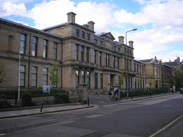
Photo: Sandy Gemmill / Wikimedia Commons / CC BY-SA 2.0 Historic Environment Scotland
Historic Environment Scotland maintains the fort as a scheduled monument.
Discovery & excavation
V. Gordon Childe excavated Castlelaw in 1932-33, focusing on the rampart and showing that it consisted of clay and timber filling faced by stone.
Finds now held at: rampart.
What to look for
-
Triple ramparts
The occupied fort had three earthwork ramparts with ditches and timber palisades.
-
Souterrain
The fort contained a souterrain used for storing agricultural produce.
-
Rampart construction
Excavation showed a clay and timber rampart filling faced by stone.
-
Long views
The fort commands views over the Forth and Lothian, including Traprain Law and Berwick Law.
Plan your visit
- Location
- 55.8618°N · 3.2334°W
- Access
- Open access
- Terrain
- Moderate walking
Opening & admission
The pack says access is free; check local information before visiting.
- The area is active sheep pasture, so dogs should be kept under control.
- The site neighbours an army firing range; do not enter areas marked by red flags.
- The fort commands views over the Forth and Lothian.
Nearby places
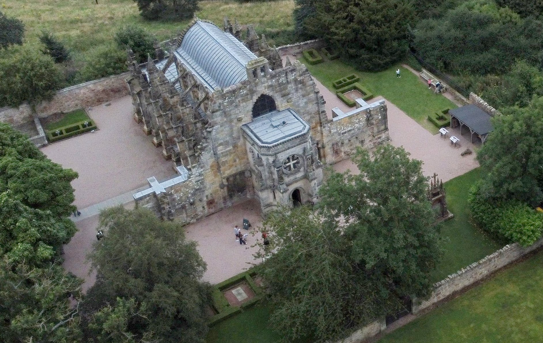
Building or ruin · Medieval
Rosslyn Chapel
Midlothian
A mid-15th-century Sinclair foundation whose densely carved choir is counted among the finest medieval stonework in Scotland.
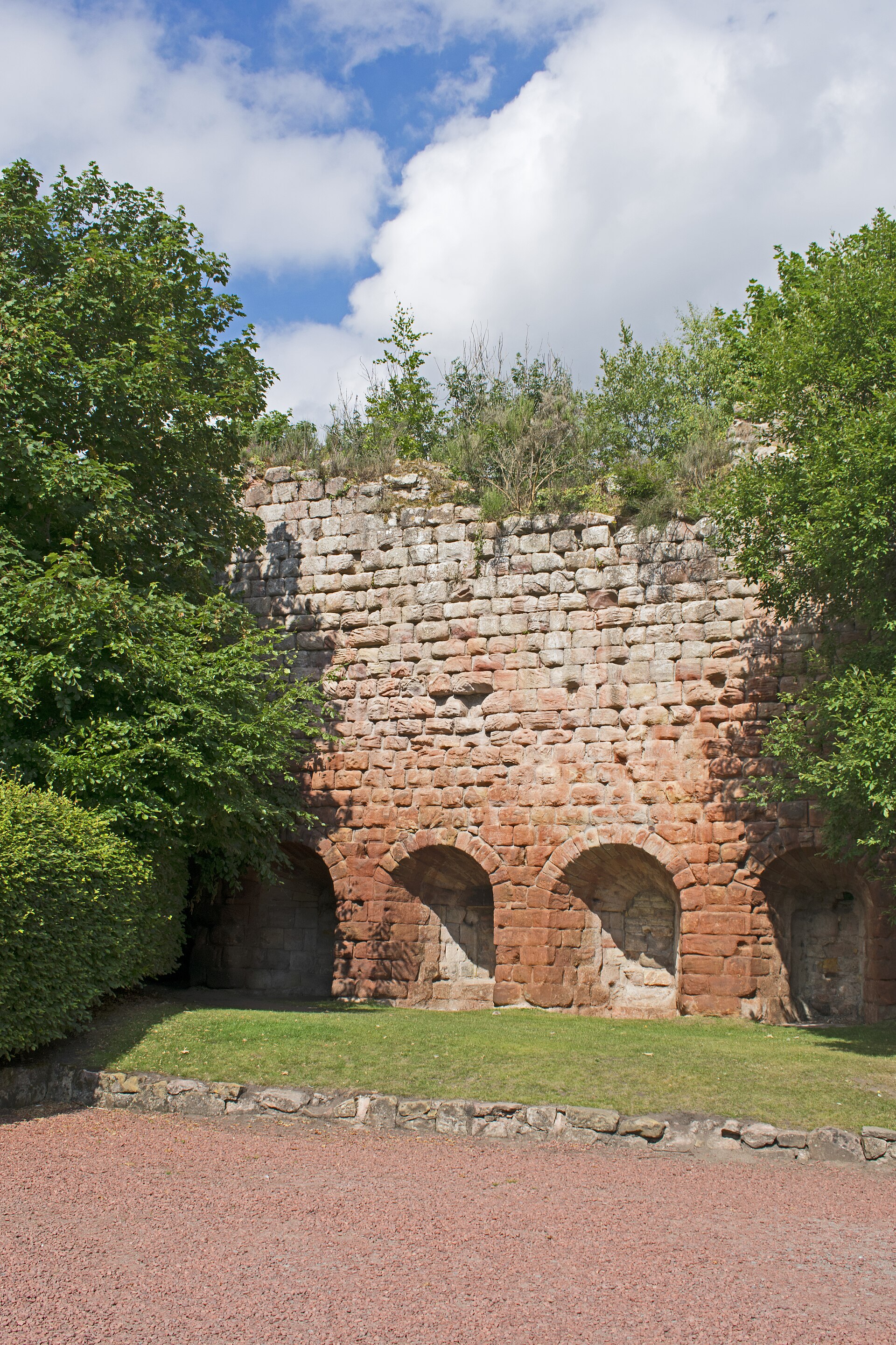
Fortified place · Medieval
Roslin Castle
Midlothian
A Sinclair stronghold whose fifteenth-century scriptorium preserved the earliest surviving work of Scots prose, standing beside the famous Rosslyn…
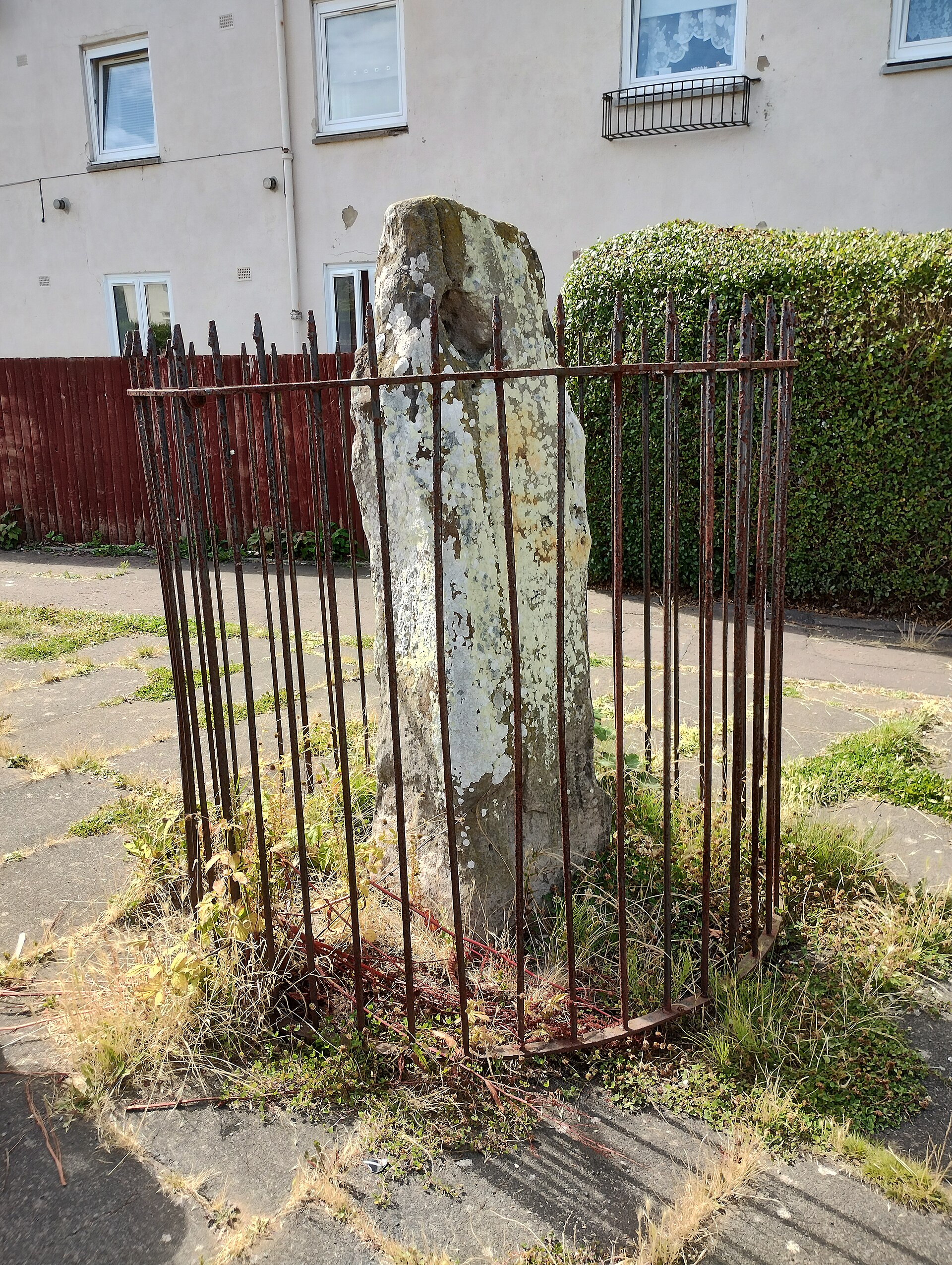
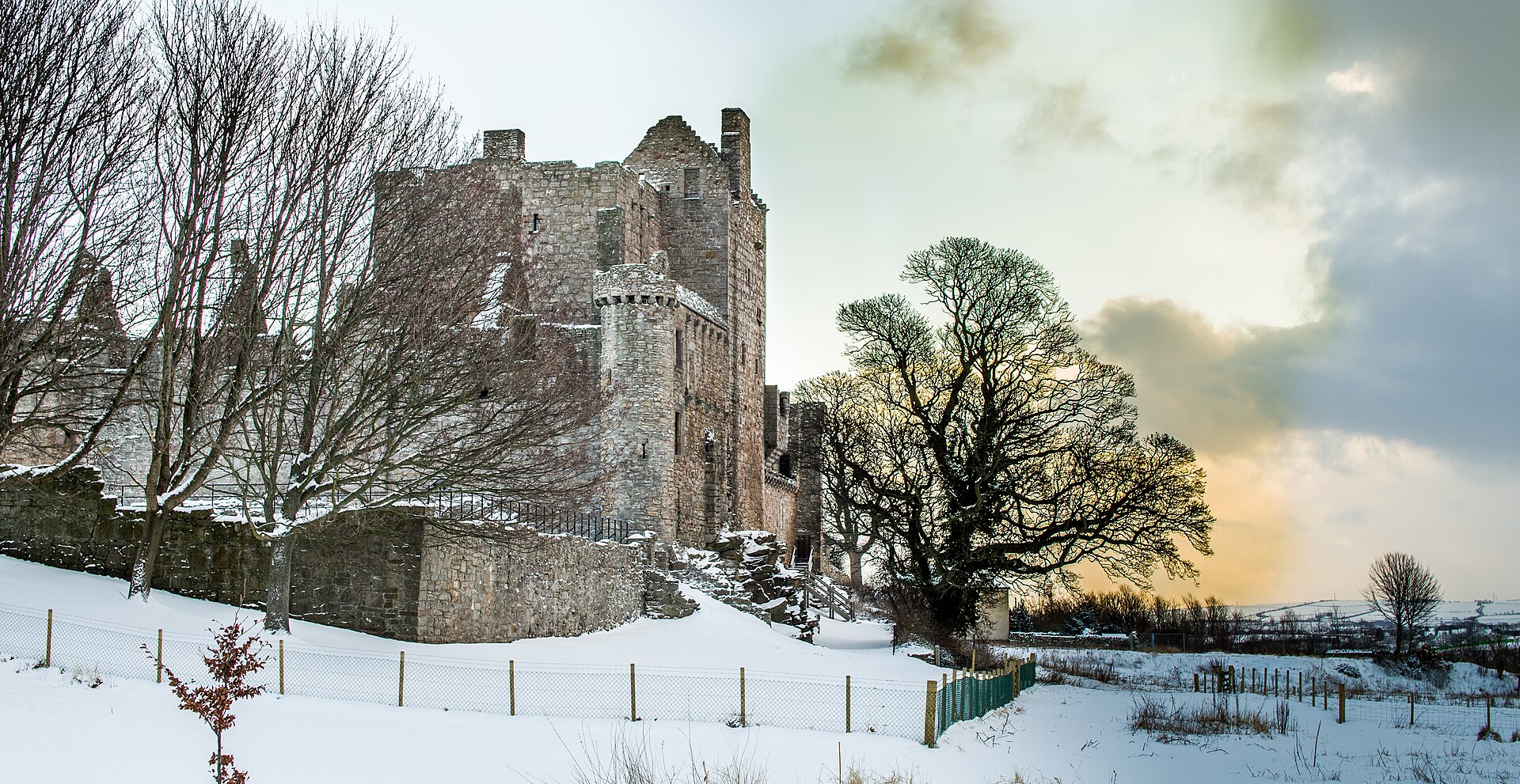
Fortified place · Medieval
Craigmillar Castle
City of Edinburgh
Craigmillar is one of Scotland's best-preserved medieval castles and is closely tied to the story of Mary, Queen of Scots and the plot against Lord…
Questions people ask
- Where is Castle Law?
- Castle Law is south-west of Fairmilehead in the Pentland Hills, Midlothian.
- What is Castle Law known for?
- It is best known for the Iron Age hillfort on its slopes, with ramparts, ditches, palisades and a souterrain.
- Who excavated Castlelaw Hill Fort?
- V. Gordon Childe excavated the site in 1932-33, focusing on the rampart construction.
- Is Castle Law free to visit?
- The pack says access is free, but dogs should be kept under control because the area is active sheep pasture.
- What should visitors watch out for?
- The site neighbours an army firing range, so visitors should take care not to pass into areas marked by red flags.
Sources
- Wikipedia article
- Wikidata
- Castle Law, Glencorse, Canmore
- Pentland Hills Regional Park archaeology introduction
Explore more: Fortified places · Iron Age · Midlothian
The Ancient Codex, in your pocket
Get the Pocket Codex app
Carry the directory with you — Castle Law and thousands of ancient places across Britain and Ireland, offline, wherever you roam.