
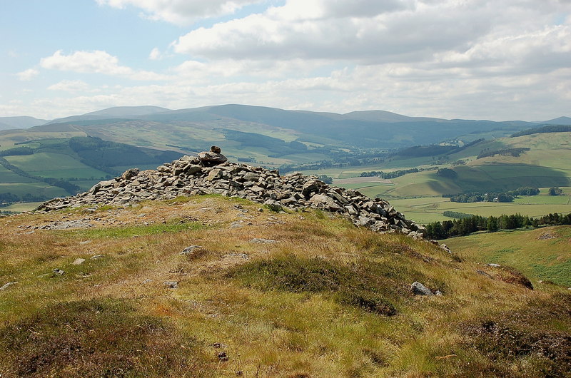
Well-kept banks circle a rounded hill south of Portmore Loch. Northshield Rings is a hillfort, a prehistoric defended enclosure on high ground, with entrances and house depressions still readable inside the earthworks.
Northshield Rings matters because its defences survive clearly enough to show changing construction. A central bank, surrounding ramparts, defensive banks built around an enclosure, quarry ditches, gateways, and round-house hollows preserve a complex fort plan in the Eddleston hills.
The layout also shows how practical these monuments were. Entrances break the banks at several points, while the hollowed house positions inside the enclosure point to daily domestic life behind the defensive lines. The spacing between the core and the surrounding works has even helped archaeologists think about which defences may be earlier, making the fort a small but instructive example of changing hillfort design.
Northshield is especially useful beside less legible hillforts nearby because its earthworks remain comparatively strong. The outer ditches show where building material was cut, the entrance gaps show how movement was organised, and the central hollows keep the defended enclosure tied to households rather than abstract military planning.
What follows is drawn from published sources, with each claim labelled by how firmly it is established.
History
The prehistoric hillfort was built on a rounded hill near Eddleston.
The inner rampart encloses a settlement area with seven slight depressions.
The depressions are thought to mark timber round-house sites.
Two outer ramparts and quarry ditches form more substantial defences.
At least two construction phases have been suggested.
The site is protected as a scheduled monument.
People
-
Historic Environment Scotland
Maintains the national record and protection status for Northshield Rings.
Connections
-
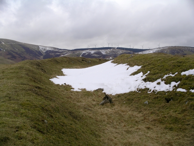
Photo: Chris Eilbeck / Wikimedia Commons / CC BY-SA 2.0 Milkieston Rings
Nearby hillfort in the Eddleston area.
-
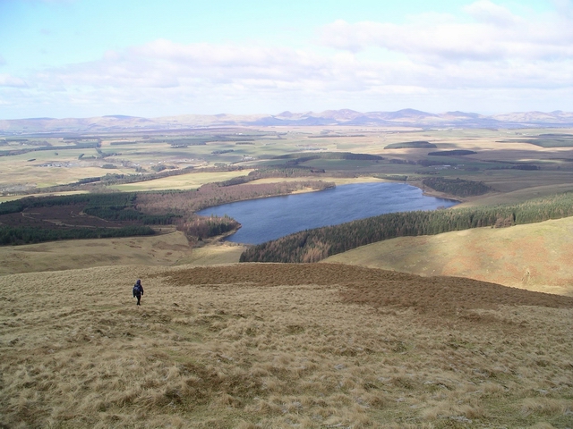
Photo: Chris Eilbeck / Wikimedia Commons / CC BY-SA 2.0 Portmore Loch
Loch north of the hillfort.
-
Eddleston
Nearby village used to locate the site.
What to look for
-
Inner enclosure
The inner bank defines the main occupied space.
-
Surrounding works
The outer banks and ditches add a second defensive zone around the core enclosure.
-
Quarry ditches
Quarry ditches are cuts where material was dug to build the banks.
-
Entrance gaps
Three entrances are recorded in the defences.
-
Round-house hollows
Slight depressions may mark timber round-house positions.
Plan your visit
- Location
- 55.7317°N · 3.1844°W
- Access
- Open access
- Terrain
- Rough ground — reasonable boots advised
Opening & admission
- Hillfort earthworks on a rounded hill; follow responsible access and avoid disturbing banks.
Nearby places
Fortified place · Medieval
Neidpath Castle
Scottish Borders
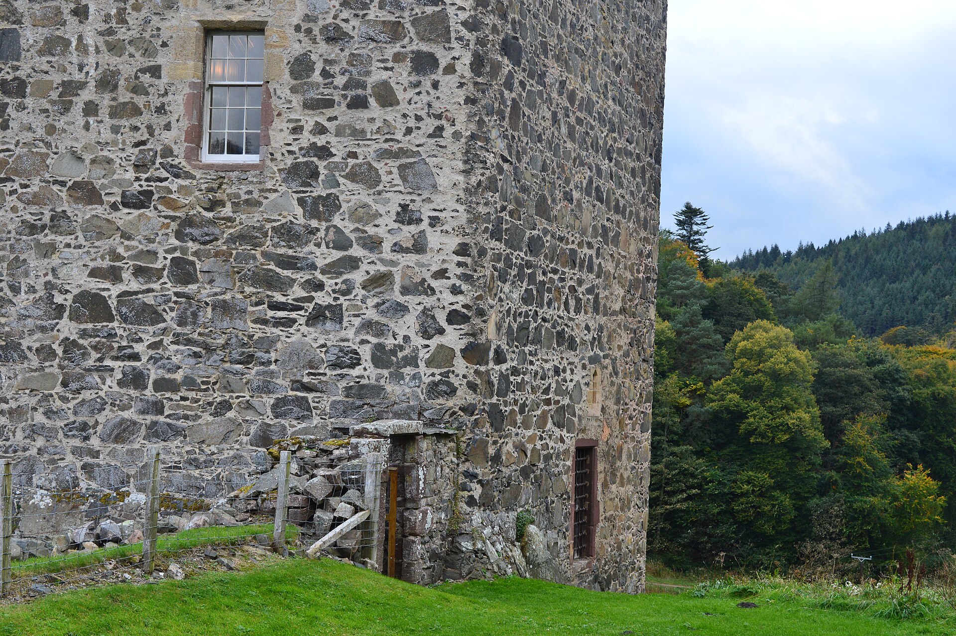
A well-preserved medieval L-plan tower house above the Tweed, Neidpath binds the Fraser and Hay families and carries centuries of Borders history,…
Questions people ask
- What is Northshield Rings?
- It is a prehistoric fort on a rounded hill south of Portmore Loch near Eddleston.
- What survives at Northshield Rings?
- Inner and outer ramparts, ditches, entrances, and possible round-house hollows survive.
- Were there houses inside?
- Seven slight depressions are thought to mark timber round-house sites.
- Is Northshield Rings protected?
- Yes. It is a scheduled monument.
Sources
Explore more: Fortified places · Iron Age · Scottish Borders
The Ancient Codex, in your pocket
Get the Pocket Codex app
Carry the directory with you — Northshield Rings and thousands of ancient places across Britain and Ireland, offline, wherever you roam.