
Excavation has shown the hillfort was occupied by 1000 BC, in the Bronze Age, with ramparts built and rebuilt in three phases. The 296 hut platforms identified within the fort suggest a population of…
Eildon Hill North Hillfort is a fortified place near Melrose, Scottish Borders, Scotland.
What follows is drawn from published sources, with each claim labelled by how firmly it is established.
The name
The hills were once known as Eldune, from the 12th-century writer Simeon of Durham who called them Eldunum. The final element is Old English 'dun', a rounded hill; the first part has been variously derived from Brittonic 'eil' (a fenced enclosure) or Old English 'aeled' ('fire') or 'aelaete' ('empty place').
History
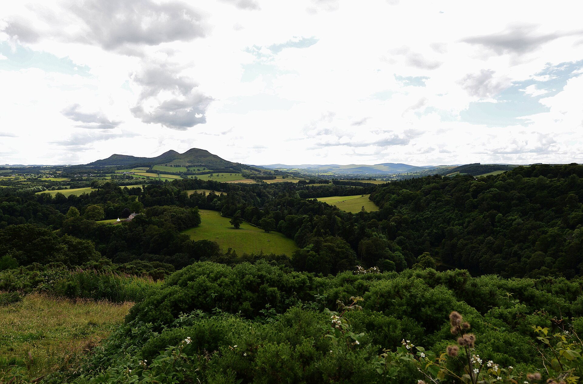
Excavation has shown the hillfort was occupied by 1000 BC, in the Bronze Age, with ramparts built and rebuilt in three phases. The 296 hut platforms identified within the fort suggest a population of around 2,000, making it one of the largest known hillforts of its period in Scotland.
The hillfort is thought to have been the capital of the Selgovae, the people of upper Tweeddale before the arrival of the Romans.
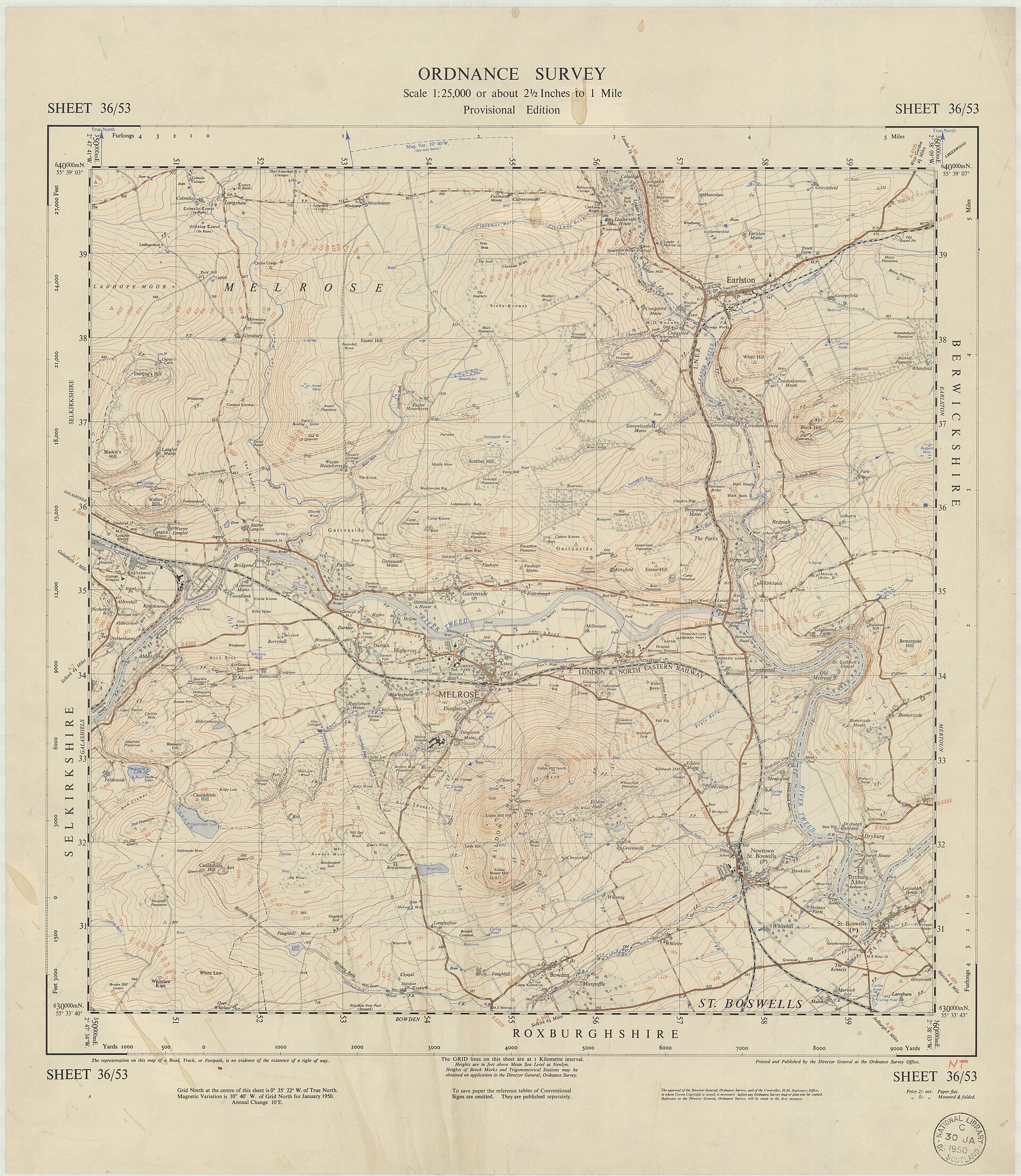
In the 1st century AD the Roman army built the great fort of Trimontium at Newstead, at the foot of the hill on the River Tweed and named for the three peaks. In association with it they raised a signal tower in a 15 m enclosure on the summit of Eildon North Hill — first in timber during the Flavian period, later rebuilt in stone under Antoninus Pius. The native hillfort may already have been abandoned, since the Roman finds from the 1986 excavation all overlay the native material.
Roman coins and pottery indicate that some of the house platforms were in use again in the 2nd to 4th centuries.
People
-
The Selgovae
Iron Age people of upper Tweeddale for whom the hillfort is thought to have been a capital
Cultural influences
-
Roman frontier presence — the signal station on the summit linked the hilltop into the Roman military landscape of Trimontium below, the fort the legions named after the Eildons' three peaks.
-
Prehistoric sacred landscape — the hills are thought to have been regarded as a holy place and a venue for ceremonial gatherings, with several holy springs around their base now dedicated to Christian saints but probably once sacred to Celtic deities.
Connections
-
Trimontium (Newstead Roman fort)
Roman fort at the foot of the hill on the River Tweed, named 'three hills' after the Eildons' triple peak; the summit signal tower was built in association with it
-
Melrose
Town just north, overlooked by the hill; included within the Eildon and Leaderfoot National Scenic Area
-
Eildon and Leaderfoot National Scenic Area
Protected scenic area, one of forty in Scotland, that takes in the hills, Melrose, Scott's View and the Leaderfoot Viaduct
Discovery & excavation
Excavations have dated occupation of the hillfort to the Bronze Age, by about 1000 BC, and identified 296 individual hut floors within the ramparts. A 1986 excavation of the summit found that the Roman material all overlay the native finds, evidence that the native fort had likely been abandoned before the Roman signal station was built.
In culture
-
The wizard Michael Scot's cleaving of the hill is retold by Walter Scott in his 1805 poem 'The Lay of the Last Minstrel', and James Hogg reworked the Eildon legends in his 1823 novel 'The Three Perils of Man'.
-
The hill is named in 'Eiledon', a song from Big Country's album 'The Seer'.
What to look for
-
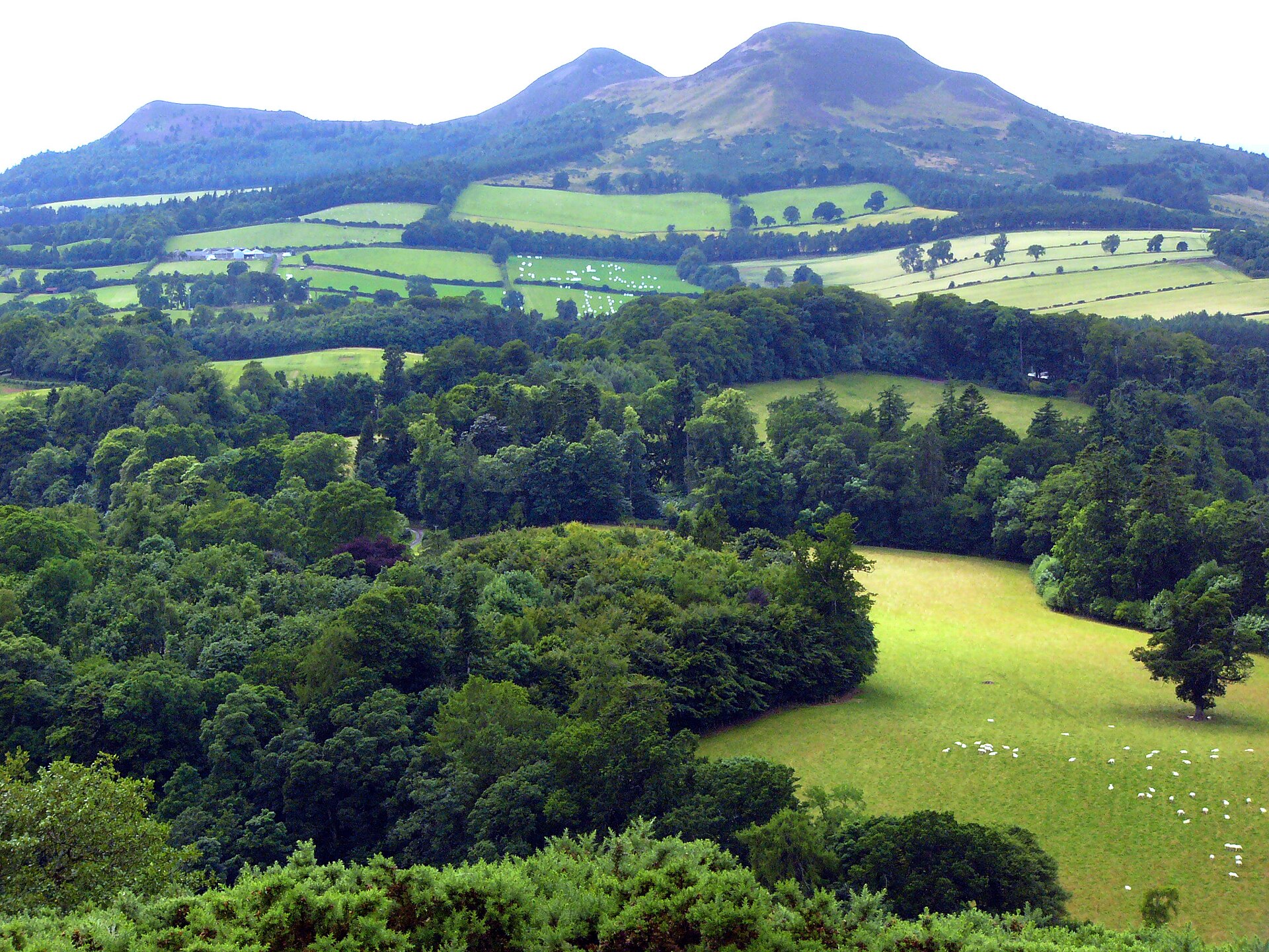
The triple peak — three summits (the middle the highest, the south the lowest) rising to 422 m, the form that gives 'the Eildons' their name and that the Romans honoured as Trimontium.
-
Over 5 km of ramparts ringing the north hilltop, enclosing about 16 ha (40 acres) — one of the largest hillfort circuits known in Scotland.
-
At least 300 level house platforms cut into the rock within the fort, the bases for turf- or timber-walled houses.
-
The summit site of the Roman signal station, a 15 m enclosure built over the native fort on Eildon North Hill.
-
Long views from the northern end across the Moray Firth area — on a clear day the hills of the Banffshire coast can be seen — and the wider Eildon and Leaderfoot scenery the hills are renowned for.
What is said
Folklore and tradition, recorded as what is said — not as established fact.
-
Eildon is said to be a 'hollow hill' and figures in the legend of Thomas the Rhymer, who is held to have passed under the hill itself.
-
Walter Scott told of a horse dealer paid in 'ancient coin' by an old man in old-fashioned dress and led inside the hill at night, where armed knights lay sleeping at their horses' feet under their leader, King Arthur; offered a horn and a sword, the dealer blew the horn first, was named a coward, and was cast out by a whirlwind to die of exhaustion after telling his tale. Scott identified the old man as Thomas the Rhymer.
-
The Eildon Tree Stone, a moss-covered boulder near Melrose, is said to mark the spot where the Fairy Queen led Thomas the Rhymer into her realm in the heart of the hills.
-
The volcanic hill's triple peak was said to have been cleft in three by the wizard Michael Scot, as related by Walter Scott in 'The Lay of the Last Minstrel' (1805).
-
Alexander Thom's astronomical interpretation aside, prehistoric peoples are believed to have regarded the Eildon Hills as a holy place and a site of ceremonial gatherings, with springs around the base probably once sacred to Celtic deities. (scholarly conjecture)
Plan your visit
- Location
- 55.5833°N · 2.7167°W
- Nearest settlement
- Melrose
- Access
- Reached on a public path
- Terrain
- Moderate walking
- Start point
- Melrose (Abbey car and coach park) — Park in Melrose by the abbey, head through the market square and follow the signed St Cuthbert's Way / three-hills path up to Eildon Hill North. A strenuous uphill walk.
Nearby places
Minor monument · Medieval
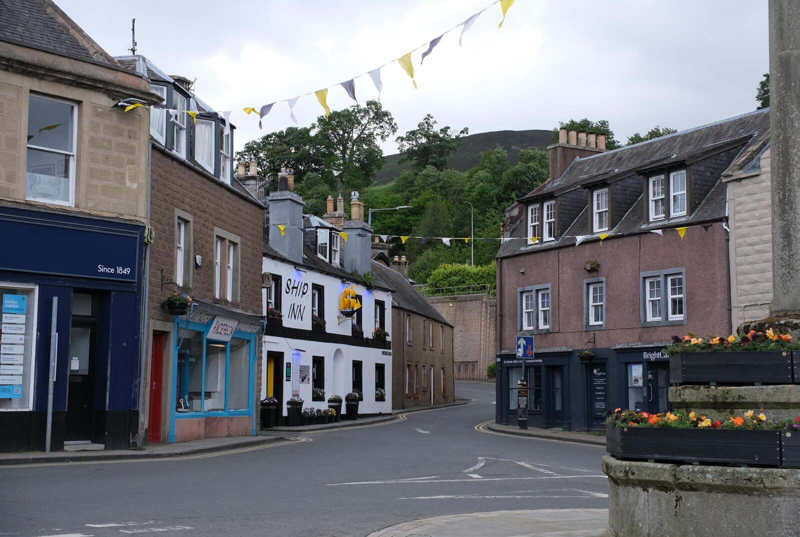
Market Cross, Market Square, Melrose
Scottish Borders
Mercat cross with HES-listed pre-1800 evidence (1645).
- Easy path

Building or ruin · Medieval
Melrose Abbey
Scottish Borders
St Mary's Abbey, Melrose was founded in 1136 by Cistercian monks at the request of King David I of Scotland — the first Cistercian abbey in Scotlan…
- Near Melrose
- 2 min walk from car park
Sources
- Canmore site record 55668 (accessed 2026-06-13)
- Trove (HES) record (accessed 2026-06-13)
- Wikipedia: Eildon Hill (accessed 2026-06-13)
- Wikidata Q3049397 (accessed 2026-06-13)
Explore more: Fortified places · Iron Age · Scottish Borders
The Ancient Codex, in your pocket
Get the Pocket Codex app
Carry the directory with you — Eildon Hill North Hillfort and thousands of ancient places across Britain and Ireland, offline, wherever you roam.