
Two Iron Age forts crown the Cademuir ridge. The larger, Cademuir I, on the summit, enclosed about 2.25 ha within a single 3 m thick stone wall and held the traces of at least 35 timber-framed…
Cademuir Hill Fort is a fortified place near Peebles, Scottish Borders, Scotland.
What follows is drawn from published sources, with each claim labelled by how firmly it is established.
The name
The name attaches to Cademuir Hill, the ridge between Manor Water and the Tweed near Peebles; the fort itself takes its name from the hill. A firm philological derivation is not established in the gathered sources, so the name is treated here as the local hill-name rather than given a confident meaning.
History
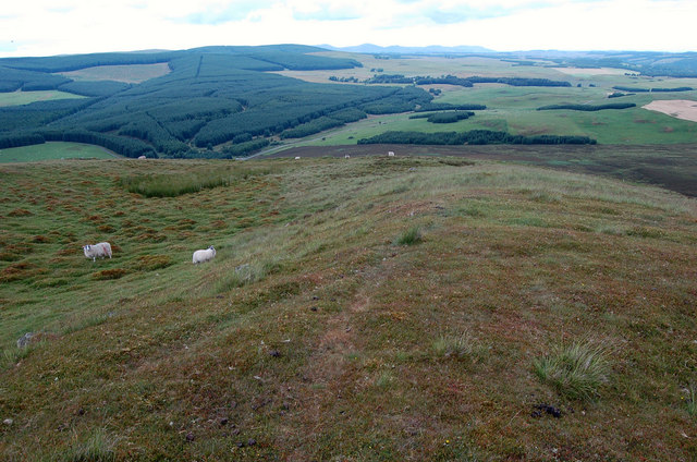
Two Iron Age forts crown the Cademuir ridge. The larger, Cademuir I, on the summit, enclosed about 2.25 ha within a single 3 m thick stone wall and held the traces of at least 35 timber-framed round-houses (identified by circular ground-grooves), with space for as many again — described by RCAHMS as effectively 'a small town' and a site 'of more than local significance' in the earlier Iron Age.
The smaller, lower fort on the western summit (NRHE 51281, Scheduled Monument SM2441) is one of only two forts in the district to incorporate a chevaux-de-frise into its defences. More than 100 earthfast stones still stand over a distance of nearly 80 m, set on the reverse slope of a shallow gully across the level north-east approach so that they would have been invisible to attackers until they had breasted the gully and were already among the stones.
Both forts appear to have been abandoned around AD 80, about the time of the Roman arrival in the area; the larger fort shows no stone-built houses or secondary structures, suggesting it was given up rather than reoccupied. The nearby Hamildean Hill fort was left unfinished, perhaps for the same reason.
People
-
Royal Commission on the Ancient and Historical Monuments of Scotland (RCAHMS)
Recorded and planned both forts in the Peeblesshire inventory (1967); the survey is the foundation of the modern record
-
John R. Baldwin
Author of the 1985 'Exploring Scotland's Heritage: Lothian and the Borders' account that describes Cademuir I as 'a small town' and details the chevaux-de-frise
Cultural influences
-
The chevaux-de-frise — a defensive field of upright stones designed to break up a charge of men or horses — is a rare feature in Britain. Cademuir is one of only two examples in its district (the other being Dreva Craig nearby), linking it to a small group of Iron Age forts that adopted this unusual obstacle.
-
The ridge sits astride a strategic Tweed Valley–Upper Clyde through-route whose flanks are 'peppered with fortified hilltop settlements' (e.g. White Meldon, Hamildean Hill, Whiteside Hill), placing Cademuir within a dense Iron Age fortified landscape of south-east Scotland.
Connections
-
Dreva Craig fort
The only other fort in the district with a chevaux-de-frise — the closest direct parallel to Cademuir's defences
-
Cademuir I (the larger summit fort)
Companion fort on the same ridge; the ~2.25 ha 'small town' with 35+ timber round-houses, set apart from the smaller chevaux-de-frise fort
-
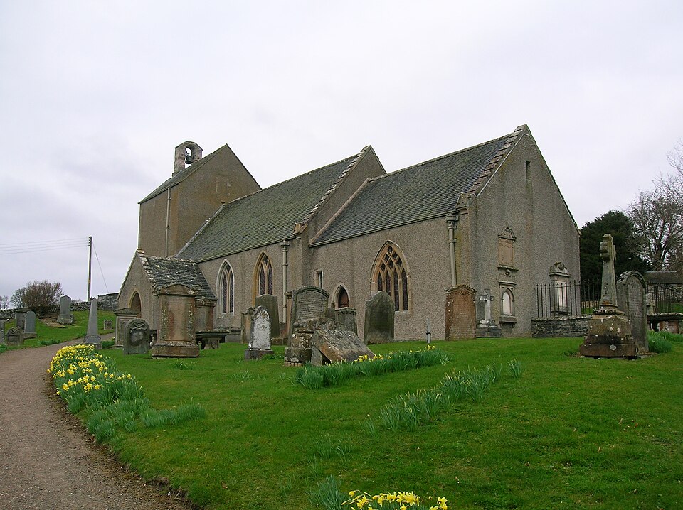
Photo: Rosser1954 Roger Griffith / Wikimedia Commons / Public domain John Buchan Way
The waymarked Peebles–Broughton walking route passes over Cademuir Hill, making the forts a recognised viewpoint and visitor landmark
-
White Meldon, Hamildean Hill and Whiteside Hill forts
Neighbouring Iron Age forts on the same Tweed–Clyde through-route
Discovery & excavation
The forts were systematically recorded by RCAHMS (visited 1962; published in the 1967 Peeblesshire inventory) and re-surveyed by the Ordnance Survey in 1971. The smaller fort measures internally about 73 m by 36 m (0.23 ha) within a massive stone wall up to 6 m thick on the east flank; its interior, partly adapted into a sheepfold at the north end, retains the traces of ring-groove timber round-houses. The site was re-assessed for the Atlas of Hillforts of Britain and Ireland (record SC3653) in 2015–16.
What to look for
-
The chevaux-de-frise on the north-east approach of the smaller fort: more than 100 earthfast stones strung across the level ground beyond a shallow gully — the single most distinctive feature on the hill.
-
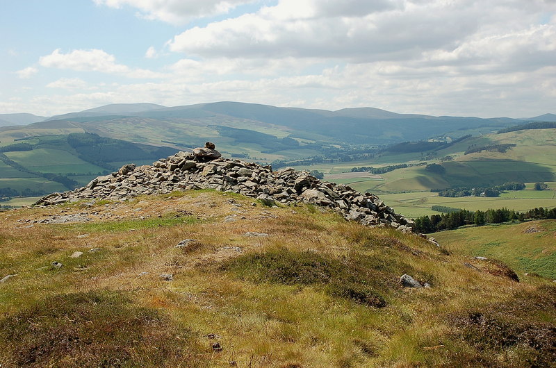
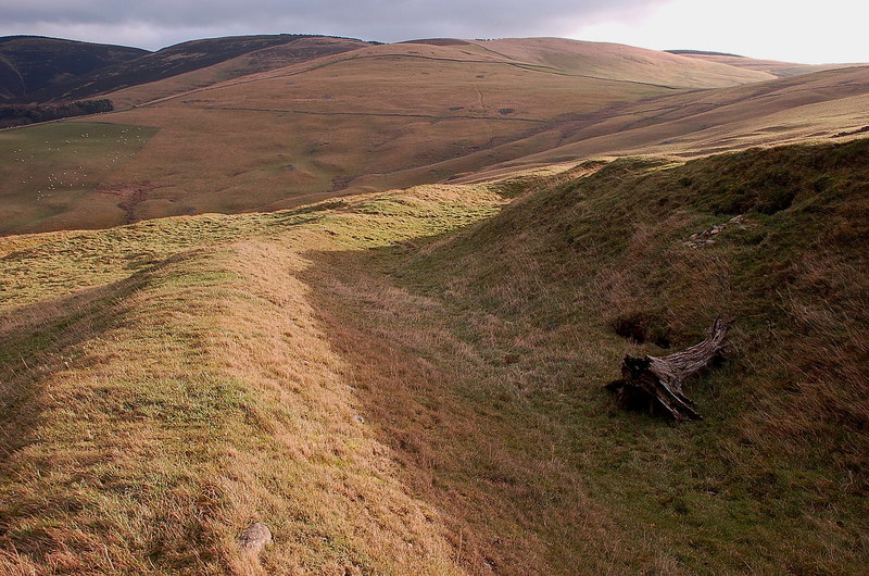
The massive ruined stone walls reduced to scree-like rubble on the flanks of the knoll; on the east flank the wall was up to 6 m thick, with stretches of both faces still visible in situ.
-
Circular 'ring-groove' marks in the turf of the interiors — the footprints of timber round-houses (35+ in the larger fort; a couple traceable in the smaller).
-
A later sheepfold built into the north end of the smaller fort's interior, overlying the prehistoric remains.
What is said
Folklore and tradition, recorded as what is said — not as established fact.
-
The line of 28 stones known locally as 'The Shearers', crossing the plateau near comparable Border forts, is said by some to be standing stones; archaeologists consider them more likely the 'grounders' of an ancient field-dyke. (This tradition is recorded for Hownam Rings; noted here only as the kind of 'standing-stone' folklore attached to such Border ridge sites — not specific to Cademuir.) (regarded by archaeologists as a field-dyke, not standing stones)
Plan your visit
- Location
- 55.6352°N · 3.2110°W
- Nearest settlement
- Peebles
- Access
- Reached on a public path
- Terrain
- Moderate walking
- Start point
- Peebles (nearest town; walking access to Cademuir Hill) (parking unconfirmed) — nearest settlement; specific parking not confirmed. No dedicated Cademuir car park is mapped; the hill fort is usually approached on foot from Peebles, which has public car parks (e.g. Kingsmeadows, Greenside). Confirm the start point and access on the day.
Nearby places
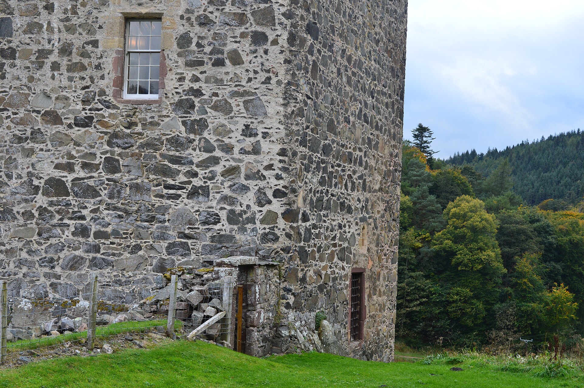
Fortified place · Medieval
Neidpath Castle
Scottish Borders
A well-preserved medieval L-plan tower house above the Tweed, Neidpath binds the Fraser and Hay families and carries centuries of Borders history,…
Sources
- Canmore site record 51281 (accessed 2026-06-13)
- Trove (HES) record (accessed 2026-06-13)
- HES designation SM2441 (accessed 2026-06-13)
- Wikipedia: John Buchan Way (accessed 2026-06-13)
- Wikidata Q18126327 (accessed 2026-06-13)
Explore more: Fortified places · Iron Age · Scottish Borders
The Ancient Codex, in your pocket
Get the Pocket Codex app
Carry the directory with you — Cademuir Hill Fort and thousands of ancient places across Britain and Ireland, offline, wherever you roam.