
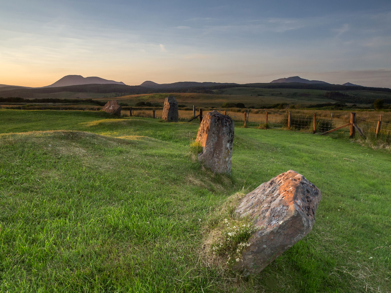
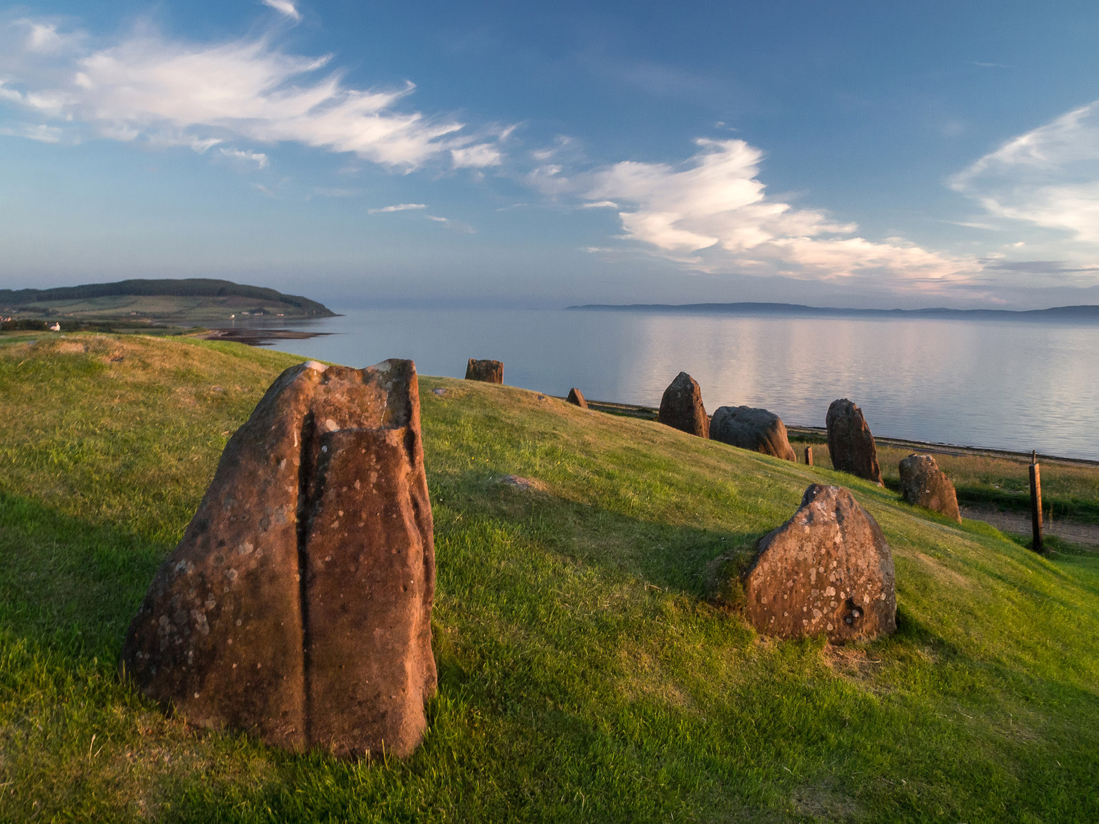
Tall red sandstone pillars and lower granite boulders stand across the open moor east of Moss Farm. Machrie Moor Stone Circles is the collective name for six visible stone circles on Arran, set among burial cairns, standing stones, cists and turf-covered hut circles.
The circles belong to a wider prehistoric landscape rather than a single isolated monument. Several were built over earlier timber circles, while their position below a notch in the north-eastern skyline has been linked with sunrise at the summer solstice.
What follows is drawn from published sources, with each claim labelled by how firmly it is established.
History
Machrie Moor Stone Circles is the collective name for six visible stone circles near Machrie on the Isle of Arran. The wider moor also contains standing stones, burial cairns, cists and low hut circles. The stone circles were positioned over earlier timber circles.
A radiocarbon date of 2030 plus or minus 180 BC is recorded for the timber circle at Machrie Moor 1. The circles sit below a notch on the skyline where Machrie Glen divides into two steep valleys. The pack notes that the notch is intersected by sunrise at the summer solstice, which may explain the siting.
James Bryce recorded the circles in 1861 and numbered the first group from 1 to 5. A further stone circle discovered almost submerged in peat in 1978 became known as Machrie Moor 11.
People
-
James Bryce
Recorded the Machrie Moor monuments in 1861 and provided the numbering later used for the circles.
What to look for
-
Machrie Moor 2 pillars
The most visually striking circle preserves three tall red sandstone slabs, with stumps of others nearby.
-
Granite boulder circles
Some circles are formed from granite boulders rather than tall sandstone slabs.
-
Central cists
Excavations found stone burial boxes, called cists, in several of the circles.
-
Skyline notch
The circles align visually with a notch in the north-eastern skyline.
-
Moorland monument group
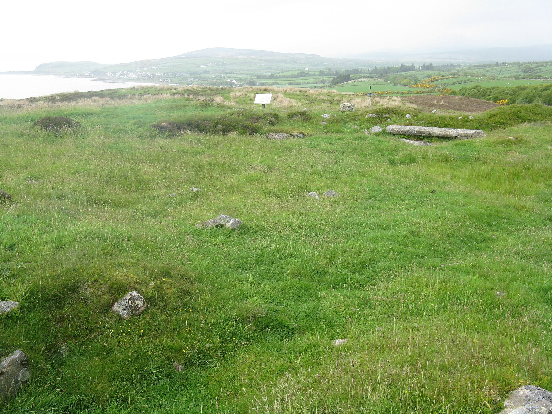
Standing stones, cairns and hut circles help show that this was a wider prehistoric landscape.
Plan your visit
- Location
- 55.5408°N · 5.3137°W
- Access
- Open access
- Terrain
- Moderate walking
Opening & admission
The pack does not give admission details, so visitors should check current local and official access information before travelling.
- The visible circles stand on Machrie Moor east of derelict Moss Farm.
- The wider moor contains standing stones, cairns, cists and hut circles.
Nearby places
Questions people ask
- What are the Machrie Moor Stone Circles?
- They are a group of six visible stone circles on Machrie Moor on the Isle of Arran.
- Which Machrie Moor circle is most striking?
- The pack describes Machrie Moor 2 as the most visually striking, with three tall surviving red sandstone slabs.
- Were there earlier monuments at Machrie Moor?
- Yes. The stone circles were positioned over previous timber circles.
- Why might the circles have been placed there?
- The pack notes that sunrise at the summer solstice intersects a notch on the skyline above the circles, which may have influenced their siting.
- What else is visible on Machrie Moor?
- The wider area includes standing stones, burial cairns, cists and low hut circles.
Sources
Explore more: Tomb or burial places · Prehistoric · North Ayrshire
The Ancient Codex, in your pocket
Get the Pocket Codex app
Carry the directory with you — Machrie Moor Stone Circles and thousands of ancient places across Britain and Ireland, offline, wherever you roam.