
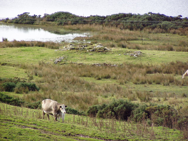
A memorial cairn now marks a broch (an Iron Age drystone round tower) site lost to the eroding Caithness coast. Crosskirk Broch was a broch, a large Iron Age circular drystone tower, built inside an older promontory fortification before the remains were destroyed for safety in 1972.
The site was unusual because its broch stood within an earlier ring wall and blockhouse. Fairhurst and Taylor excavated the threatened ruin between 1966 and 1972, documenting Bronze Age, Iron Age, Roman-period, early medieval, Norse, and later chapel traces before the unsafe remains were pushed over the cliff and the site grassed over.
What follows is drawn from published sources, with each claim labelled by how firmly it is established.
History
Crosskirk was occupied at the end of the Bronze Age before the broch was built.
The early Iron Age phase produced local carinated pottery with parallels in southern and eastern England.
The broch was built around 200 BC inside an older promontory fortification.
The broch and surrounding settlement remained in use into the second century AD, with repairs and changes failing to overcome weaknesses in the tower design.
Around the time the site was abandoned, a body was buried in a sitting position inside an approximately circular building.
Two long cist burials were later placed in broch debris around 600 AD.
A now-lost runic stone belonged to the period of Norse raiders between the ninth and eleventh centuries.
Fairhurst and Taylor excavated the eroding site between 1966 and 1972, after which the remains were bulldozed over the cliff for safety and a memorial cairn erected.
People
-
Fairhurst and Taylor
Excavators who investigated Crosskirk between 1966 and 1972.
Connections
-
Crosskirk hamlet
Modern Caithness settlement near the site.
-
St Mary's Chapel
Thirteenth-century ruined chapel south of the broch site.
-
Chapel Geo
Cliff-edge point in the earlier promontory defences.
What to look for
-
Memorial cairn
Modern marker after the broch remains were destroyed.
-
Promontory fort setting
Older defensive wall and gateway beneath the broch sequence.
-
Broch village evidence
External buildings around the tower suggest a surrounding settlement.
Plan your visit
- Location
- 58.6082°N · 3.6799°W
- Access
- Visible from a public way
- Terrain
- Rough ground — reasonable boots advised
Opening & admission
- Broch was destroyed after excavation; memorial cairn marks the grassed-over coastal site.
Nearby places
Fortified place · Medieval
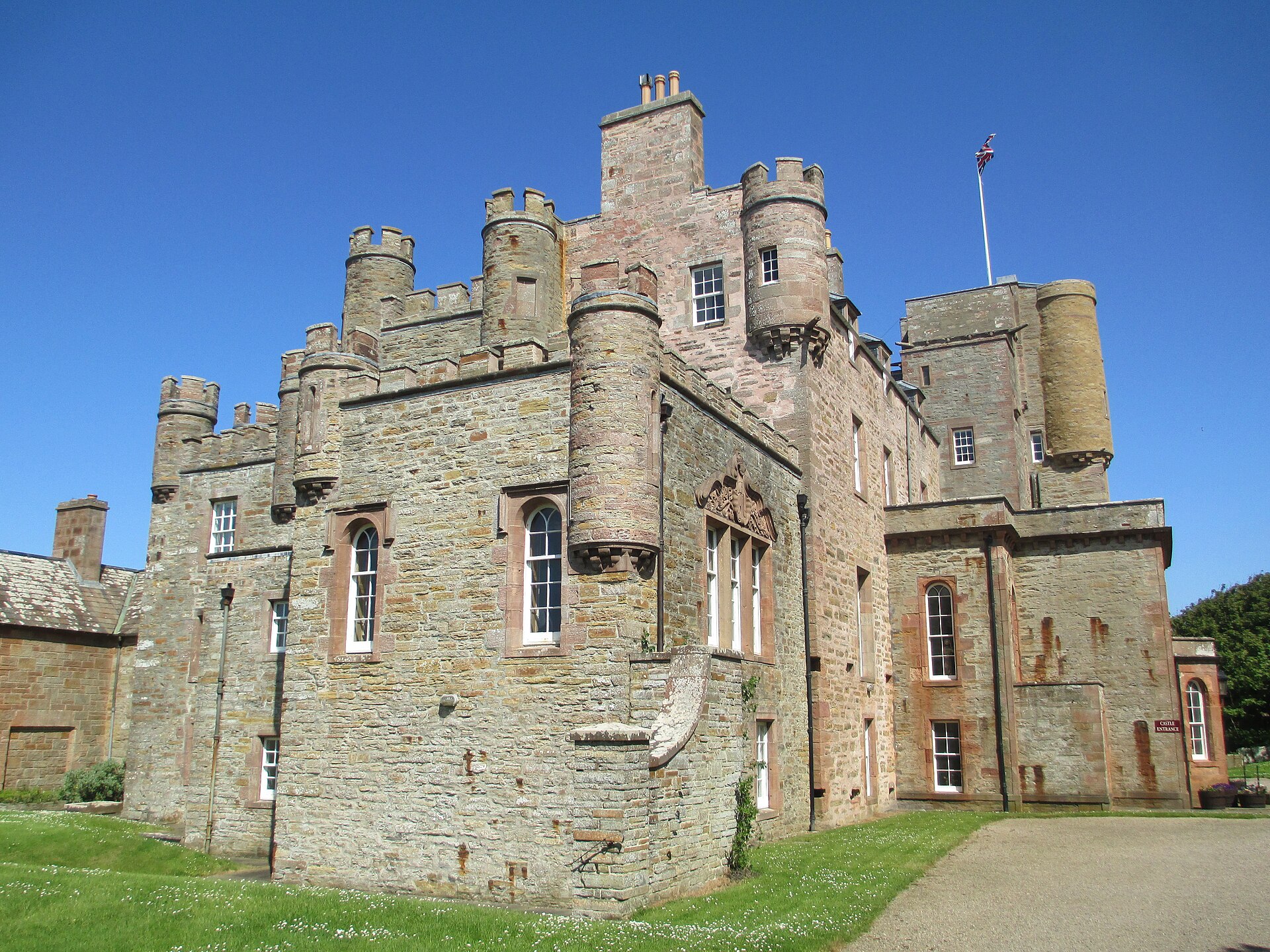
Castle of Mey
Highland
Rescued from dereliction by Queen Elizabeth the Queen Mother in 1952, this sixteenth-century Sinclair tower house is one of Scotland's most norther…
Questions people ask
- What happened to Crosskirk Broch?
- After excavation, it was destroyed in 1972 because sea erosion had made the site unsafe.
- Why was Crosskirk unusual?
- The broch was built inside an older promontory fortification with a ring wall and blockhouse.
- Who excavated it?
- Fairhurst and Taylor excavated the ruin between 1966 and 1972.
- What periods were represented?
- The source pack describes Bronze Age, Iron Age, Roman-period, early medieval, Norse, and medieval chapel evidence.
Sources
- Wikipedia article
- Archaeological excavation account summarised in source pack
Explore more: Fortified places · Iron Age · Highland
The Ancient Codex, in your pocket
Get the Pocket Codex app
Carry the directory with you — Crosskirk Broch and thousands of ancient places across Britain and Ireland, offline, wherever you roam.