
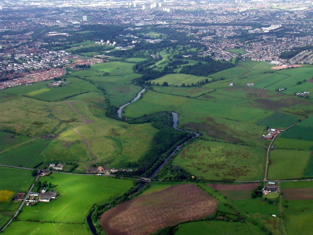
Fields between the Kelvin and the canal conceal the Roman story at Wilderness Plantation. Wilderness Plantation was a Roman fortlet (a small frontier post) on the Antonine Wall, discovered from aerial photography rather than from obvious standing remains.
The site adds another interval post to the Wall’s chain between larger forts. Although it has produced no inscriptions and no coinage from the fortlet itself, its discovery helped define the pattern of small Roman posts along this stretch of frontier.
What follows is drawn from published sources, with each claim labelled by how firmly it is established.
History
Wilderness Plantation lay on the Antonine Wall, whose line here runs roughly between the River Kelvin and the Forth and Clyde Canal. The site was discovered by aerial photography, with the discovery reported in October 1965. Wilkes excavated the site in 1965 and 1966.
The term interval fortlet was approved for this and comparable sites such as Duntocher and Glasgow Bridge. No coinage or inscriptions have been recovered from the fortlet itself, though a single coin was found at Wilderness West.
People
-
Wilkes
Excavated Wilderness Plantation in 1965 and 1966.
Cultural influences
-
Interval fortlet model
The site helped shape the language used for small posts between main Wall forts.
-
Aerial discovery
Its identification shows the value of aerial survey in a landscape with few visible Roman traces.
Connections
-
Balmuildy
Neighbouring Roman fort to the west.
-
Cadder
Neighbouring Roman fort to the east according to the source pack.
-
Duntocher and Glasgow Bridge
Comparable interval fortlet sites named in the pack.
Discovery & excavation
Aerial photography revealed the site before excavation in 1965 and 1966. The source pack notes the absence of fortlet inscriptions and coins.
What to look for
-
Wall corridor
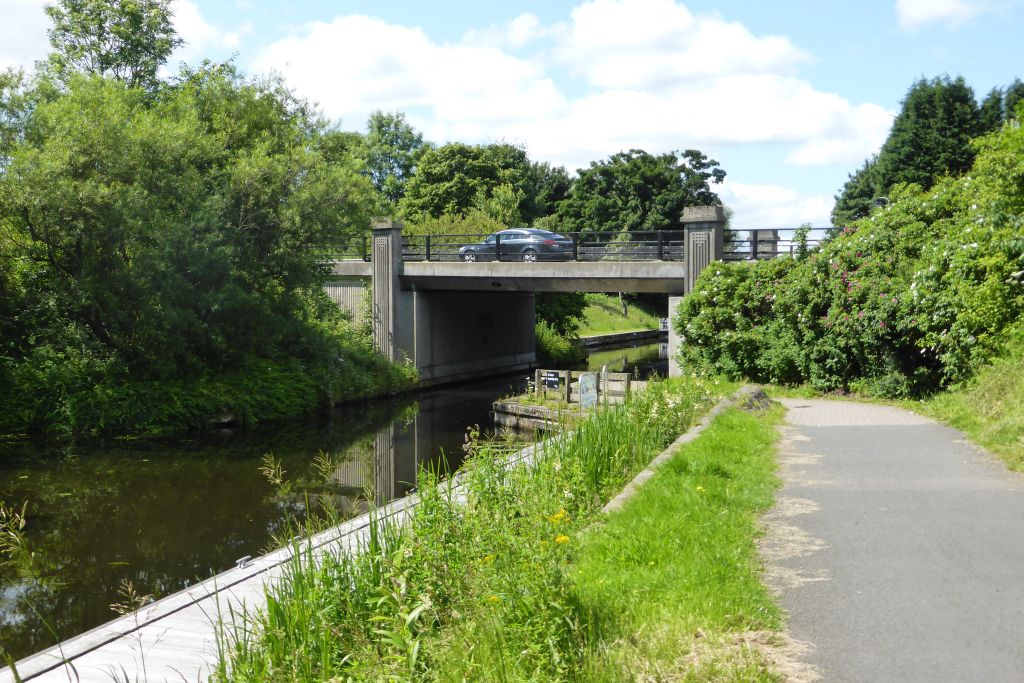
The landscape lies between the River Kelvin and the Forth and Clyde Canal.
-
Fortlet position
The site belongs to the chain between Balmuildy and Cadder.
-
Subtle remains
The pack gives discovery evidence rather than visitor-visible masonry.
Plan your visit
- Location
- 55.9215°N · 4.2452°W
- Access
- Open access
- Terrain
- Moderate walking
Opening & admission
The pack does not give visitor access details; the fortlet is known through aerial photography and excavation.
- The Wall line runs between the River Kelvin and the Forth and Clyde Canal.
- No inscriptions or coins from the fortlet are recorded in the pack.
Nearby places
Fortified place · Roman
Bearsden Roman Bath House
East Dunbartonshire
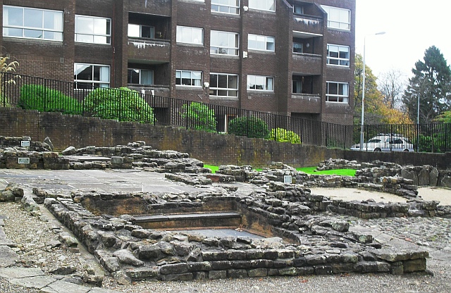
The Romans built a stone-and-turf fortification, the Antonine Wall, between the Firth of Clyde and the Firth of Forth between AD 142 and 144 under…
- Near Bearsden
- 3 min walk from car park
Questions people ask
- What was Wilderness Plantation?
- It was a Roman fortlet on the Antonine Wall.
- How was it discovered?
- It was found by aerial photography, with the discovery reported in October 1965.
- Was it excavated?
- Yes. Wilkes excavated it in 1965 and 1966.
- Were inscriptions found?
- The source pack says no inscriptions were recovered from the fortlet.
- Which forts neighboured it?
- The neighbouring forts were Balmuildy to the west and Cadder to the east.
Sources
Explore more: Fortified places · Roman · East Dunbartonshire
The Ancient Codex, in your pocket
Get the Pocket Codex app
Carry the directory with you — Wilderness Plantation and thousands of ancient places across Britain and Ireland, offline, wherever you roam.