
A low circular mound and broad moat mark the earlier castle beneath the later Keith Hall landscape. Caskieben was a palisaded tower, a timber-defended lordly site, later superseded by an Anglo-Norman castle and then absorbed into Keith Hall.
Nothing of the early structure remains above ground, but the mound and moat still preserve the outline of power shifting from a twelfth-century wooden tower to a thirteenth-century stone castle and, later, a Z-plan mansion estate.
What follows is drawn from published sources, with each claim labelled by how firmly it is established.
History
The Garviach family built the palisaded tower during the twelfth-century Norman expansion into Scotland. The early tower stood on a low circular mound surrounded by a moat.
About 1224 Norman de Leslie received the lands of Caskieben and likely built the Anglo-Norman castle that replaced the old tower. The later castle was enlarged after 1662 with a Renaissance mansion and renamed Keith Hall.
Keith Hall became a notable Z-plan castle, a Scottish tower-house layout with diagonally opposed corner towers. John Keith, first Earl of Kintore, added wings and ogee-capped towers between 1696 and 1698.
Thomas White Sr. designed the Keith Hall landscape in 1794. John Smith designed alterations for the sixth Earl of Kintore between 1806 and 1812.
In 1984 the building was restored and divided into flats and houses.
People
-
Norman de Leslie
received Caskieben lands around 1224 and likely built the stone castle.
-
John Keith, 1st Earl of Kintore
expanded Keith Hall in the late seventeenth century.
-
Thomas White Sr.
designed the Keith Hall landscape in 1794.
-
John Smith
architect who designed early nineteenth-century alterations.
Plan your visit
- Location
- General area near Aberdeenshire, Aberdeenshire
- Access
- Private — no general public access
- Terrain
- Easy going
Opening & admission
The source pack does not provide reliable current admission details; verify before travelling.
- Keith Hall is a converted residential estate; the pack does not describe public access to the mound or moat.
This is a sensitive or fragile site, so we show only its general area. Please check official heritage sources for access before visiting, and take care not to disturb it.
Nearby places
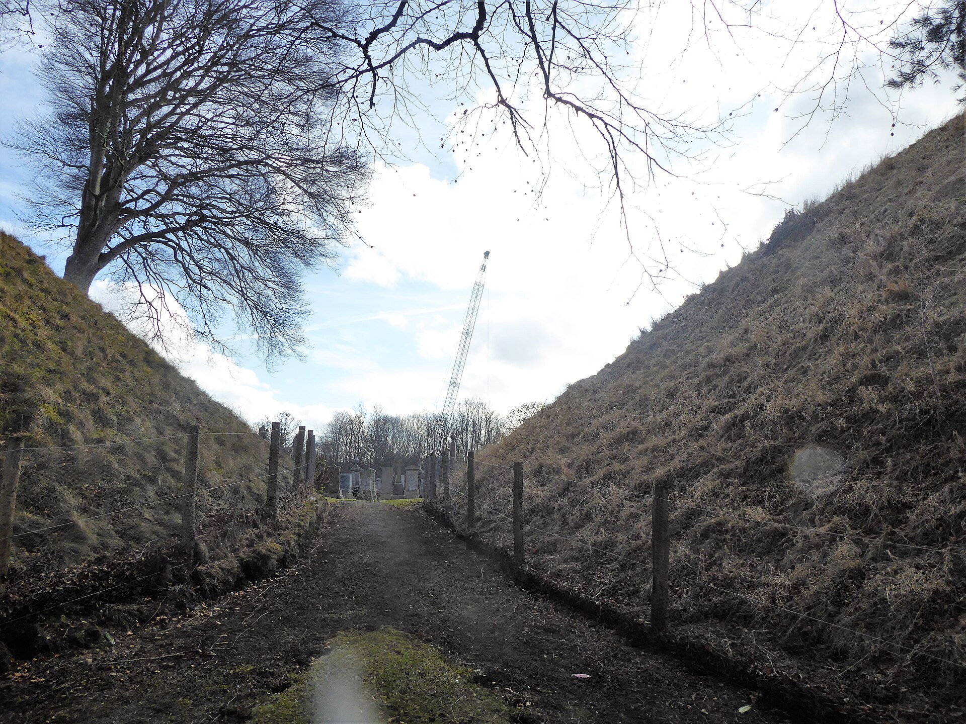
Building or ruin · Medieval
Bass of Inverurie
Aberdeenshire
A rare surviving twelfth-century motte-and-bailey earthwork that served as the administrative heart of the medieval Garioch.
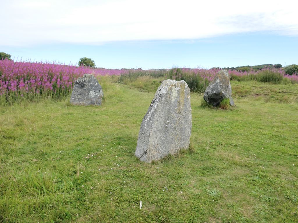
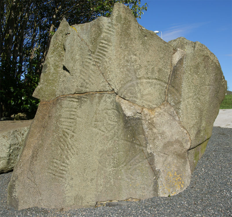
Carved stone · Pictish & early medieval
Brandsbutt Stone
Aberdeenshire
The Brandsbutt Stone is a Class I Pictish symbol stone in Inverurie, Aberdeenshire, a large block of whinstone bearing two incised Pictish symbols…
- Near Inverurie
- 1 min walk from car park
- Easy path
Questions people ask
- What was Caskieben?
- It began as a palisaded tower on a low mound and was later replaced by an Anglo-Norman castle.
- What is a palisaded tower?
- It is a tower or stronghold protected by a timber fence or palisade.
- What remains of the early castle?
- The pack says nothing remains of the structure, but the mound and moat are still visible.
- How does Keith Hall relate to Caskieben?
- Keith Hall occupies the castle site and incorporates the later Caskieben Castle into a mansion complex.
Sources
- Wikipedia article
- Source pack: Caskieben
Explore more: Fortified places · Medieval · Aberdeenshire
The Ancient Codex, in your pocket
Get the Pocket Codex app
Carry the directory with you — Caskieben and thousands of ancient places across Britain and Ireland, offline, wherever you roam.