
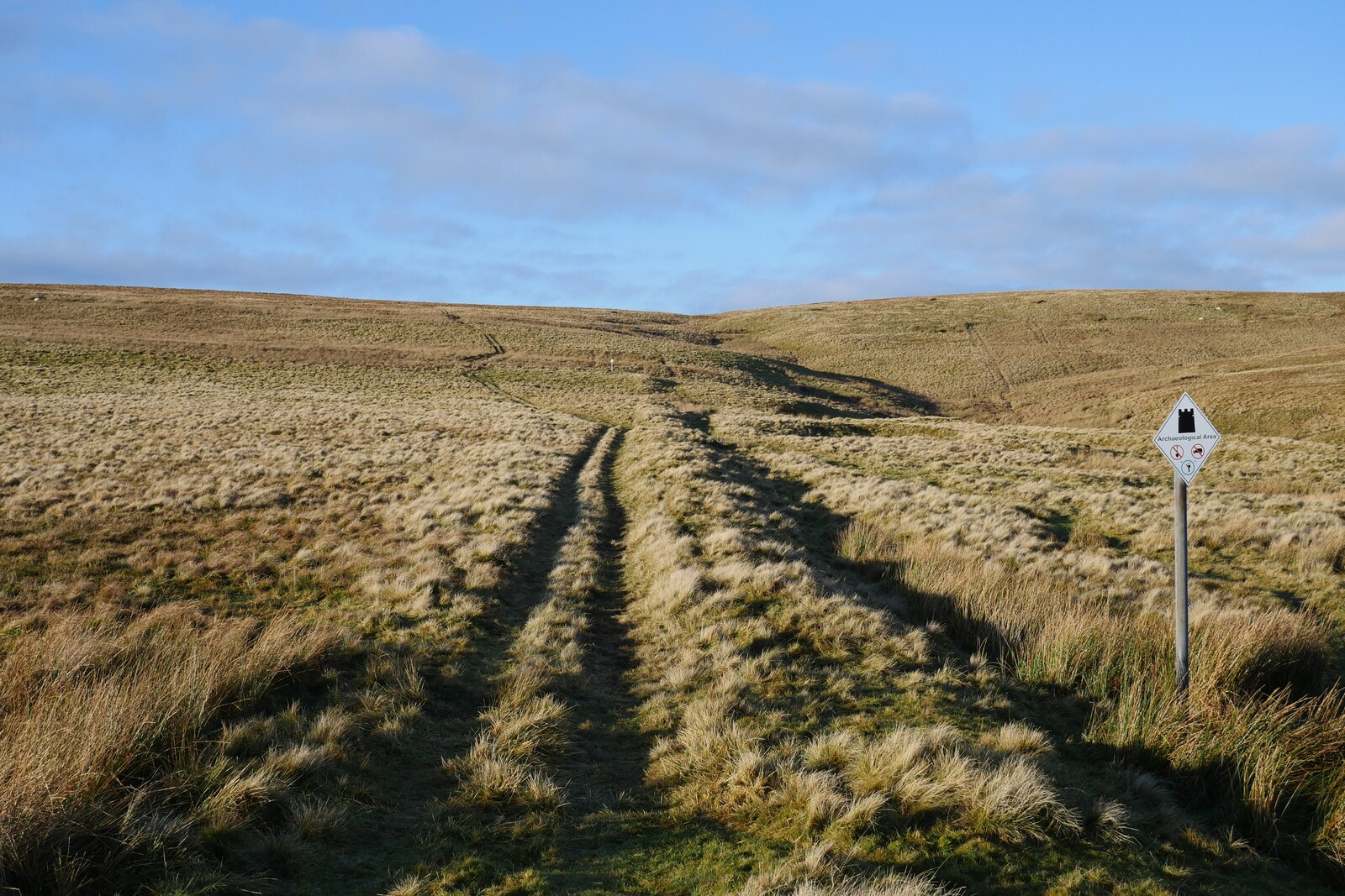
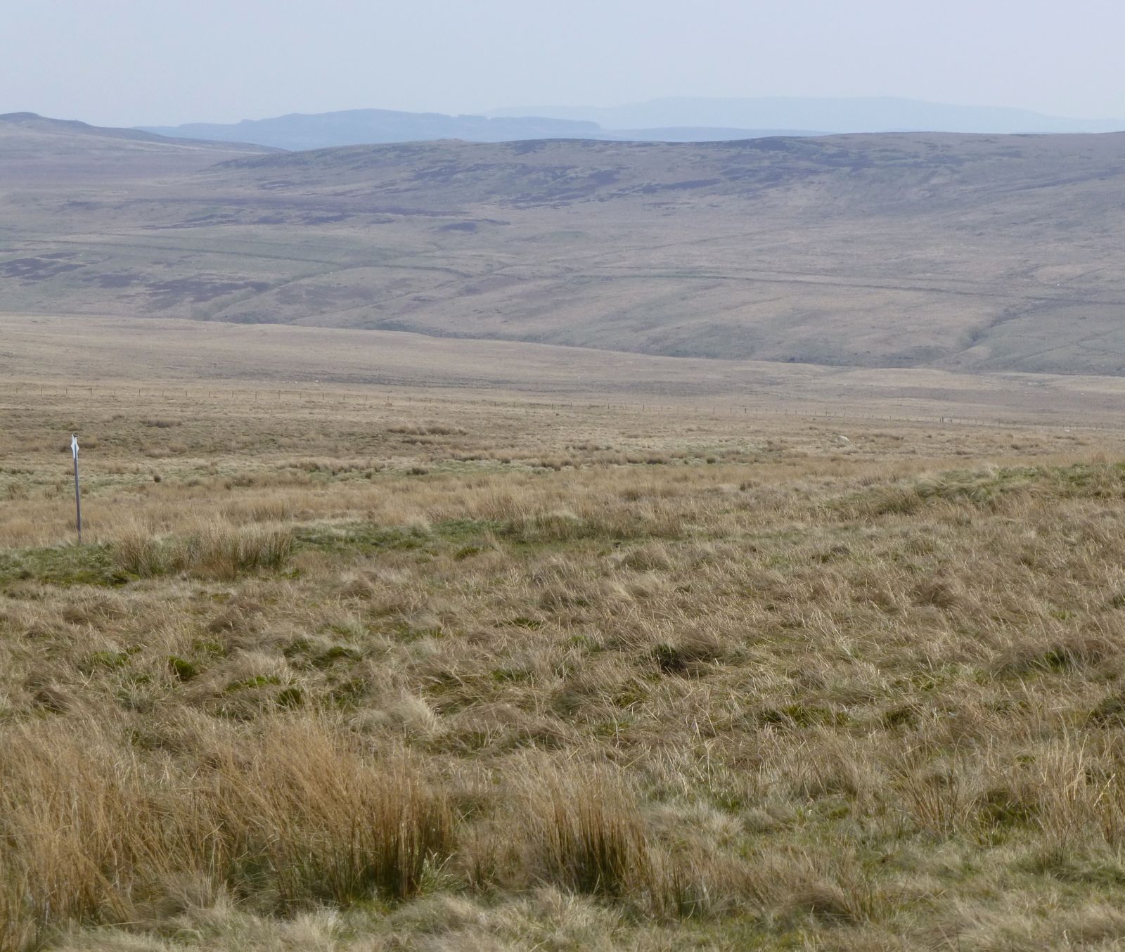
Earthwork lines sit in rough Cheviot moorland beside the old Roman road, a paved military route built for troops and supplies. Pennymuir Roman camps are temporary camps, short-term Roman military enclosures, grouped around Dere Street near the Anglo-Scottish border.
Pennymuir matters because it preserves the logistics of movement rather than a single permanent fort. Large and small camps, entrance gaps, turf banks, a later farmstead, rig and furrow, and the crossing toward Kale Water show soldiers repeatedly using the same frontier corridor.
What follows is drawn from published sources, with each claim labelled by how firmly it is established.
History
The camps were built beside Dere Street north of Tow Ford. Camps A and B were first recorded in 1774 by William Roy. Camp A is the largest and preserves visible entrance gaps on all four sides.
Camp B lies within the southeast part of Camp A and is later than it. Camp C has been partly damaged by drainage and plantation. A probable fourth camp has been traced from air photographs.
Later features include a farmstead, enclosures, rig and furrow, and a linear earthwork.
People
-
William Roy
First recorded Camps A and B in 1774.
-
Roman army
Used the camps while moving along Dere Street.
Connections
-
Dere Street
Roman road running beside the camp group.
-
Chew Green
Roman camps and fortlets to the southeast on the English side of the border.
-
Woden Law hillfort
Nearby prehistoric hillfort in the same landscape.
-
Tow Ford
Crossing of the Kale Water close to the camp group.
What to look for
-
Camp A
The largest enclosure retains some of the best-preserved Roman camp earthworks in Scotland.
-
Camp B
A later camp reused part of Camp A's defences.
-
Entrance gaps
Breaks in the banks mark where Roman gates once stood.
-
Dere Street
Dere Street was the Roman road that carried movement through this corridor.
-
Rig and furrow
Rig and furrow means the ridged traces of later ploughing.
Plan your visit
- Location
- 55.4181°N · 2.3882°W
- Access
- Open access
- Terrain
- Rough ground — reasonable boots advised
Opening & admission
- Remote moorland camps beside Dere Street; use responsible access and carry suitable navigation.
Nearby places
Carved stone · Prehistoric
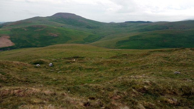
Hownam Rings
Scottish Borders
C. M. Piggott's 1948 excavation at Hownam Rings became a landmark in the archaeology of northern Britain. It produced the 'Hownam model' (or 'Howna…
- Near Hownam
- 1.2 km from car park
- Some walking
Fortified place · Medieval
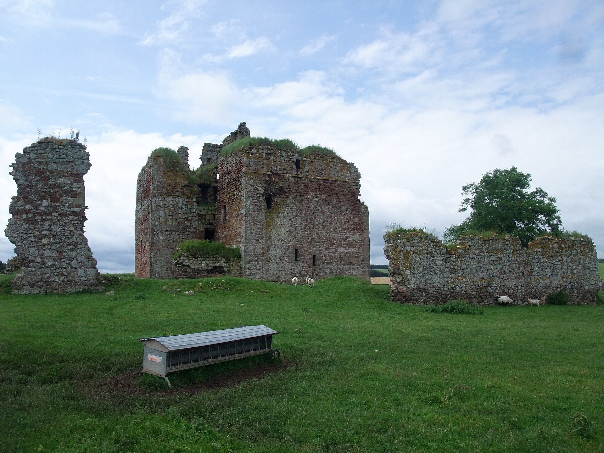
Cessford Castle
Scottish Borders
It was the principal stronghold of the Kerr family, among the most notorious of the Border Reivers, and its massive walls survive as a striking rec…
Questions people ask
- What are the Pennymuir Roman camps?
- They are a group of Roman temporary camps beside Dere Street near the Anglo-Scottish border.
- Why are they important?
- Camps A and B are among the best-preserved Roman camps in Scotland.
- Who first recorded the camps?
- William Roy first recorded Camps A and B in 1774.
- What later remains are nearby?
- A later farmstead, enclosures, rig and furrow, and a linear earthwork are recorded around the camps.
Sources
Explore more: Fortified places · Roman · Scottish Borders
The Ancient Codex, in your pocket
Get the Pocket Codex app
Carry the directory with you — Pennymuir Roman camps and thousands of ancient places across Britain and Ireland, offline, wherever you roam.