
C. M. Piggott's 1948 excavation at Hownam Rings became a landmark in the archaeology of northern Britain. It produced the 'Hownam model' (or 'Hownam sequence'): a developmental scheme in which a…
Hownam Rings is a carved stone near Hownam, Scottish Borders, Scotland.
What follows is drawn from published sources, with each claim labelled by how firmly it is established.
The name
The fort takes its name from the nearby village of Hownam; the '-ham' element is the Old English/Anglian word for a homestead or settlement, pointing to the later English place-naming of this Border valley. The 'Rings' refers to the concentric rampart circuits of the fort itself. A firm derivation of the first element is not established in the gathered sources.
History
C. M. Piggott's 1948 excavation at Hownam Rings became a landmark in the archaeology of northern Britain. It produced the 'Hownam model' (or 'Hownam sequence'): a developmental scheme in which a simple palisaded enclosure is successively replaced by single-rampart (univallate) and then multi-rampart (multivallate) stone defences, before being superseded by an undefended Roman Iron Age settlement of stone round-houses built across the derelict ramparts.
Excavation identified at least four phases of occupation. A blocked entrance in an early single stone wall (3.6 m thick) yielded a quern dated to the late 1st century AD; the final phase, an undefended settlement of circular stone-built houses with a rectangular enclosure, dates to about the late 3rd century AD. Roman pottery shows the late settlement ran on into the 1st and 2nd centuries AD.
Originally the earliest palisade phases were thought to date to the 1st or 2nd century BC, but radiocarbon tests pushed them back to the 6th or 7th century BC, implying a total occupation span of some 700–800 years.
The Hownam model was later challenged — by Peter Hill's excavations at Broxmouth near Edinburgh (where stone-built houses appeared to pre-date the Romans) and by reliable late-20th-century carbon dating. The Atlas of Hillforts re-assessment goes further, arguing the excavated sequence 'cannot be correct' and that structures of different periods were probably conflated; yet the core idea of developing enclosure followed by post-enclosure settlement is still regarded as having some validity.
People
-
Cecily Margaret (C. M.) Piggott
Excavated Hownam Rings in 1948 and defined the 'Hownam model' of Iron Age fort development
-
Peter Hill
Challenged the Hownam model from his excavations at nearby Broxmouth, suggesting stone-built houses pre-dated the Romans
-
Ian Armit
Archaeologist whose 'Life after Hownam' (1999) and Broxmouth monograph (2013) re-examined the south-east Scottish Iron Age sequence the model rests on
Cultural influences
-
The 'Hownam model' — the influential type-sequence of Iron Age fort development named after this site — shaped how Scottish hillforts were dated and interpreted for much of the 20th century, and remains a reference point even as it is critiqued.
-
The triple ramparts are thought to have been built partly in response to new weapons such as slings or chariots — an interpretation linking the site's remodelling to changing Iron Age warfare.
Connections
-
Broxmouth (near Dunbar, East Lothian)
Site of Peter Hill's excavations and the Armit & McKenzie 2013 monograph that challenged the Hownam model
-
'The Street' (ancient ridge track)
An old track running past Hownam Rings along the high plateau and across the Border into Upper Coquet Dale; the fort commands this route
-
'The Shearers' stone line
A line of 28 stones crossing the plateau ~82 m south-east of the fort; probably the grounders of a field-dyke contemporary with the fort's occupation
-
The Cheviots / Border ridge forts
Upland range in which Hownam Rings lies, among many fortified hilltop sites of south-east Scotland
Discovery & excavation
Hownam Rings was excavated by C. M. Piggott in 1948, work that gave rise to the much-quoted Hownam sequence. The defences survive best on the west flank as three ramparts with shallow external ditches or quarried terraces and an outer counterscarp bank; elsewhere a later Roman Iron Age settlement of stone-founded round-houses around scooped yards overlies them. Finds from the excavation included coarse stone tools, coarse pottery and an iron knife, with Roman pottery confirming late occupation. The site was re-assessed for the Atlas of Hillforts of Britain and Ireland (record SC3401) in 2015–16, which questioned the excavated stratigraphy while confirming an oval multivallate fort (interior c. 90 m E–W by no more than 60 m, ~0.45 ha) with an entrance on the SSW.
In culture
-
As the type-site of the 'Hownam model', the fort is a fixture of British Iron Age studies and hillfort textbooks — among the most frequently cited Scottish excavations of the mid-20th century.
What to look for
-
The 'rings' that name the site — the multiple concentric ramparts, best preserved on the west flank as three banks with external ditches/terraces and an outer counterscarp bank.
-
Stone-founded round-houses and scooped yards of the later, undefended Roman Iron Age settlement, sitting both within and on top of the abandoned ramparts.
-
The single-entrance gap on the SSW, set so as to expose an approaching visitor's unshielded right side.
-
'The Shearers' — a line of low stones crossing the plateau ~82 m to the south-east, eleven of them exposed at turf level.
What is said
Folklore and tradition, recorded as what is said — not as established fact.
-
'The Shearers', the line of 28 stones near the fort, is said by some to be a row of standing stones. (regarded by archaeologists as more likely the 'grounders' of an ancient field-dyke)
Plan your visit
- Location
- 55.4679°N · 2.3331°W
- Nearest settlement
- Hownam
- Access
- Reached on a public path
- Terrain
- Moderate walking
- Start point
- Hownam village (parking unconfirmed) — Nearest settlement; specific parking not confirmed. Reach the hillfort on foot from Hownam village up onto the ridge to the east.
Nearby places
Fortified place · Medieval
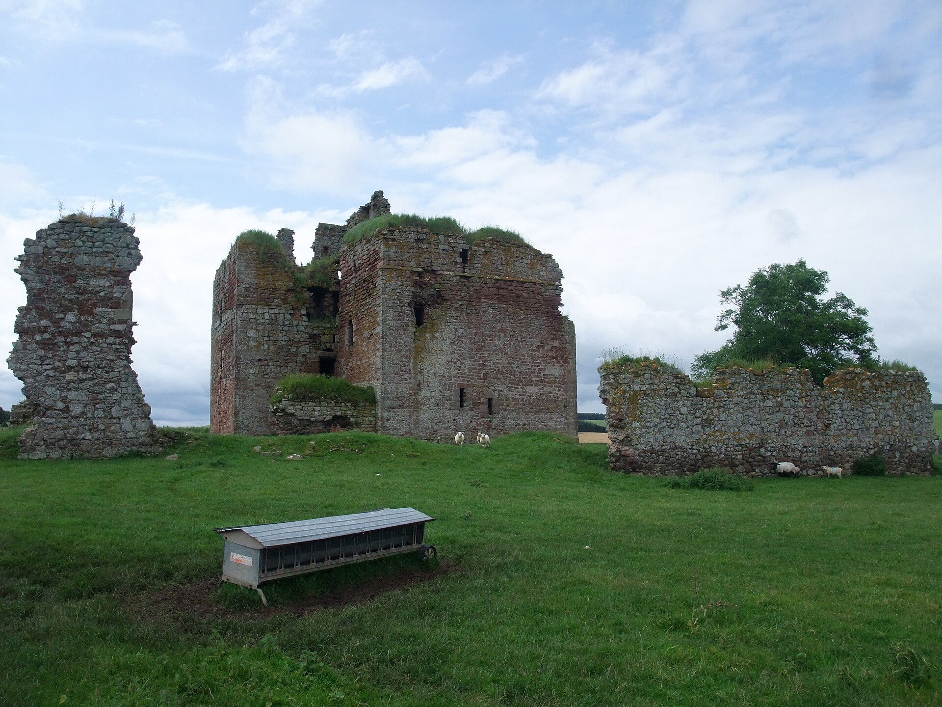
Cessford Castle
Scottish Borders
It was the principal stronghold of the Kerr family, among the most notorious of the Border Reivers, and its massive walls survive as a striking rec…
Sources
- Canmore site record 57922 (accessed 2026-06-13)
- Trove (HES) record (accessed 2026-06-13)
- Wikipedia: Hillforts in Scotland (accessed 2026-06-13)
- Wikidata Q31105638 (accessed 2026-06-13)
Explore more: Carved stones · Prehistoric · Scottish Borders
The Ancient Codex, in your pocket
Get the Pocket Codex app
Carry the directory with you — Hownam Rings and thousands of ancient places across Britain and Ireland, offline, wherever you roam.