
River ground north of Perth held a Roman supply base where the Almond meets the Tay. Bertha was a Roman fort, a permanent military base, built around AD 83 to support Roman expeditions into north-east Scotland.
The site matters because it stood at a strategic river point. In Roman use it lay at the highest navigable point on the Tay, later medieval writers reused and reshaped its name, and the abandoned site remained important enough to be associated with Pictish and Gaelic royal ceremony.
What follows is drawn from published sources, with each claim labelled by how firmly it is established.
The name
The medieval name Bertha was adapted from Perth by Scots historians who did not know the Roman name.
History
Bertha was built around AD 83 as a supply base for Roman expeditions into north-east Scotland.
The fort stood at the confluence of the rivers Almond and Tay, north of modern Perth.
It formed part of the Roman fortification series known as the Gask Ridge.
The site may have been reused on three occasions up to the 3rd century.
The fort site was identified in the 18th century and later damaged by river erosion and ploughing.
Excavations in 1973 revealed a ditch, berm and turf rampart.
A Roman altar stone inscribed to the discipline of the emperor was found near the River Almond in 1958 and is on display in Perth Museum.
People
-
Ptolemy
Second-century geographer whose account may preserve the Roman name Tamia or Tavus for the site.
-
John of Fordun
Medieval Scots historian associated with the later use of the name Bertha.
-
Walter Bower
Medieval Scots historian associated with the later use of the name Bertha.
What to look for
-
River confluence
The meeting of the Almond and Tay explains the fort's supply-base role.
-
Turf rampart
A turf rampart is a defensive bank built from turf and earth rather than stone.
-
Roman ditch and berm
A berm is the flat strip between ditch and rampart, part of the fort's defensive layout.
-
Altar stone
The inscribed altar stone gives a rare object link to Roman military discipline and is displayed in Perth Museum.
Plan your visit
- Location
- 56.4250°N · 3.4646°W
- Access
- Open access
- Terrain
- Moderate walking
Opening & admission
- Scheduled Roman fort site at the Almond and Tay confluence.
- The source notes erosion and plough damage but does not confirm public access.
Nearby places
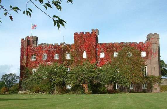
Sacred place · Medieval
Scone Palace / Scone Abbey
Perth and Kinross
Scone was the coronation place of Scotland's medieval kings and the home of the Stone of Scone, making it one of the nation's foremost royal and re…
Fortified place · Medieval
Huntingtower Castle
Perth and Kinross
Huntingtower was the setting for the 1582 Raid of Ruthven, when Scottish nobles seized the young King James VI, and its closely paired towers gave…
Fortified place · Medieval
Castle Law, Forgandenny
Perth and Kinross
A nationally scheduled hillfort whose double classification — contour fort and multiple-enclosure fort — preserves an unusually layered set of anci…
Questions people ask
- What was Bertha near Perth?
- It was a Roman fort and supply base north of modern Perth at the Almond and Tay confluence.
- What was the Gask Ridge?
- The Gask Ridge was a chain of Roman fortifications and road-linked military sites in Scotland.
- What does the name Bertha mean here?
- It was a medieval historical name adapted from Perth, not necessarily the original Roman name.
- What was found at Bertha in 1958?
- A Roman altar stone inscribed to the discipline of the emperor was found near the River Almond.
- Is Bertha protected?
- Yes. The source describes Bertha as a scheduled monument.
Sources
Explore more: Fortified places · Roman · Perth and Kinross
The Ancient Codex, in your pocket
Get the Pocket Codex app
Carry the directory with you — Bertha (Perth) and thousands of ancient places across Britain and Ireland, offline, wherever you roam.