
The two surviving stones were likely erected about 2000 BC. Tradition holds they were originally part of a circle of up to 14 stones; seven still remained in 1873, the others removed over the…
Laggangairn Standing Stones is a carved stone near New Luce, Dumfries and Galloway, Scotland.
What follows is drawn from published sources, with each claim labelled by how firmly it is established.
The name
The name of the nearby farm of Kilgallioch translates as 'church of the standing stones', suggesting there may have been an early church site just to the north.
History
The two surviving stones were likely erected about 2000 BC. Tradition holds they were originally part of a circle of up to 14 stones; seven still remained in 1873, the others removed over the centuries, some reused as lintels in neighbouring cottages.
A large Christian cross surrounded by four crosslets was later carved into each stone; the style suggests the crosses were added during the AD 600s and 800s.
Cultural influences
-
The medieval Whithorn pilgrimage — the stones stand on a pilgrimage route running south across Galloway to the shrine of St Ninian at Whithorn, and it is likely the crosses were carved by medieval pilgrims travelling this route.
Connections
-
Whithorn (shrine of St Ninian)
Pilgrimage destination at the southern end of the route the stones stand on
-
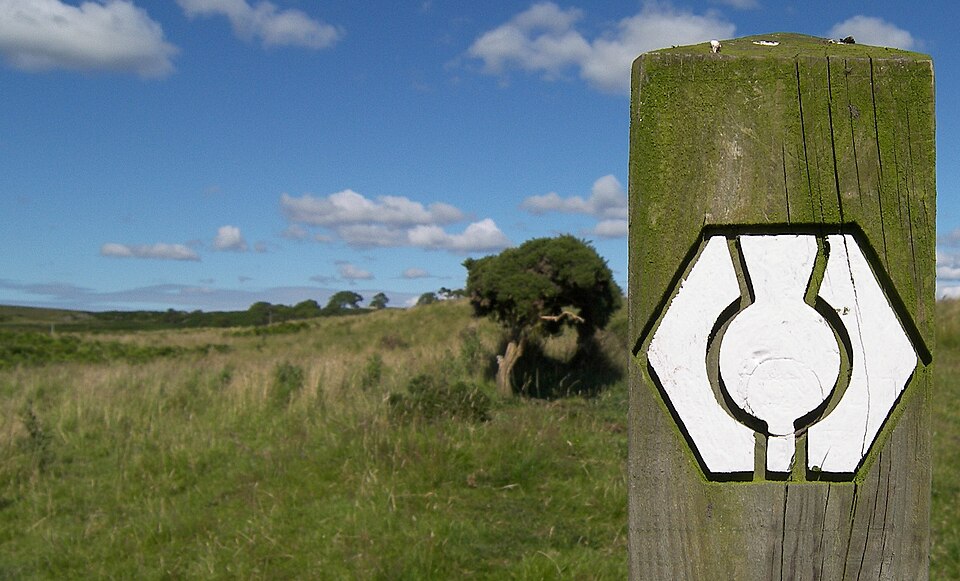
Photo: Miles away / Wikimedia Commons / CC BY-SA 3.0 Southern Upland Way
Long-distance route by which the remote stones are reached today
-
Kilgallioch
Nearby farm whose name ('church of the standing stones') hints at an early church site to the north
What to look for
-
The two surviving stones, each about 2 m tall.
-
On each stone, a large incised Christian cross surrounded by four crosslets — the work of later medieval pilgrims.
What is said
Folklore and tradition, recorded as what is said — not as established fact.
-
A writer in 1907 mentioned three beehive holy wells near this spot, and the site is described as having seemingly been a sacred place for thousands of years. (early-20th-century account / tradition)
Plan your visit
- Location
- 55.0076°N · 4.7814°W
- Nearest settlement
- New Luce
- Access
- Open access
- Terrain
- Easy going
- Start point
- At New Luce on the Southern Upland Way about 5m from Balmurrie Farm by foot. · From New Luce take the minor road past the church to Balmurrie Farm.
- Best time
- Open year-round.
- Start point
- New Luce village (Southern Upland Way trailhead) — HES directs visitors from New Luce by the minor road past the church to Balmurrie Farm, then about 5 miles on foot to the stones along the Southern Upland Way. No car park is published by HES or mapped in OpenStreetMap. Distance shown is a straight-line floor from New Luce; the walked route is longer. Allow a full half-day and proper hill gear.
Opening & admission
Free entry
- Open year-round.
Nearby places
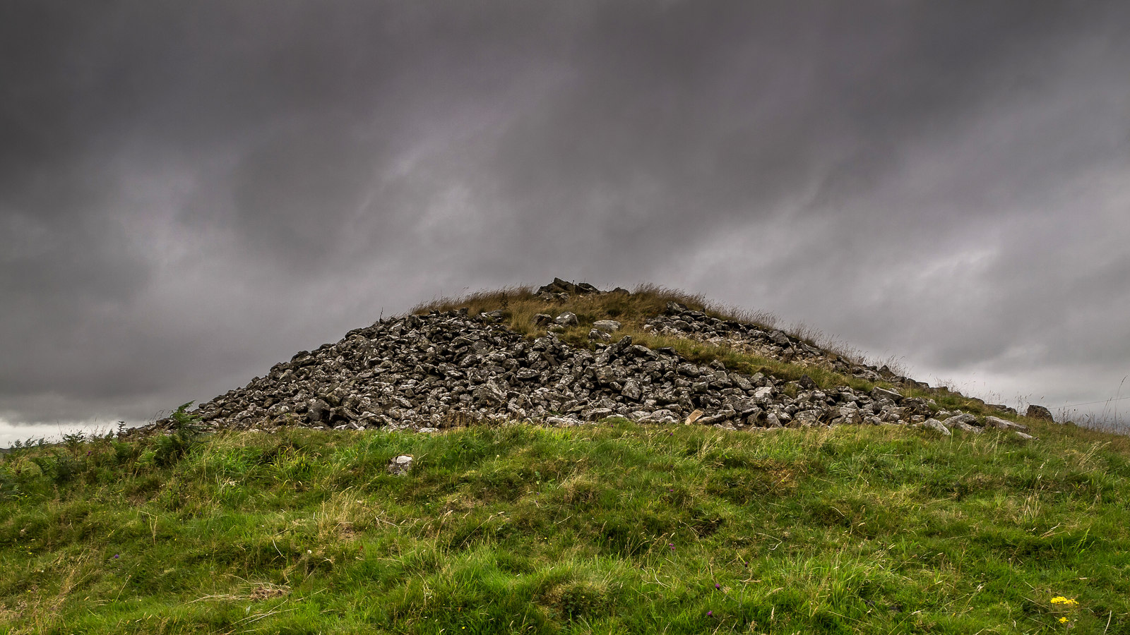
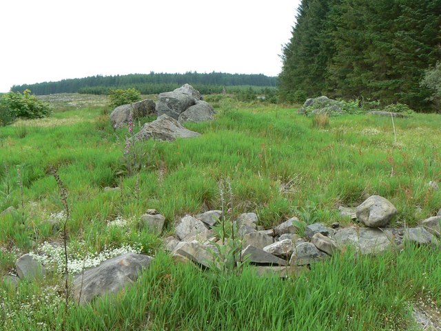
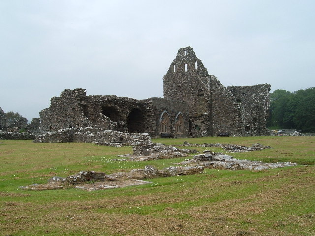
Building or ruin · Medieval
Glenluce Abbey
Dumfries and Galloway
It preserves the story of a Cistercian house whose lands and manuscripts became prizes in the power struggles that followed the Scottish Reformation.
Sources
- Canmore site record 62495 (accessed 2026-06-13)
- Trove (HES) record (accessed 2026-06-13)
- Wikipedia: List of Historic Environment Scotland properties (accessed 2026-06-13)
- Wikidata Q16148507 (accessed 2026-06-13)
Explore more: Carved stones · Prehistoric · Dumfries and Galloway
The Ancient Codex, in your pocket
Get the Pocket Codex app
Carry the directory with you — Laggangairn Standing Stones and thousands of ancient places across Britain and Ireland, offline, wherever you roam.