
Two Neolithic chambered tombs of the Clyde type stand within 150 metres of each other on a hillside overlooking Wigtown Bay, 4 kilometres east of the village of Carsluith in Dumfries and Galloway.
Both tombs, known as Cairnholy I and Cairnholy II, lie open to the sky, most of their original covering stones having been taken in the past to build field walls. They are scheduled monuments in the care of Historic Scotland.
The more elaborate of the two, Cairnholy I, produced a fragment of a jadeite ceremonial axe during excavation in 1949. Local tradition holds that Cairnholy II was the tomb of Galdus, a mythical Scottish king.
What follows is drawn from published sources, with each claim labelled by how firmly it is established.
The name
The name Cairnholy represents Gaelic Càrn na h-ulaidhe, meaning 'cairn of the stone tomb'. The nearby Cairnholy Farm takes its name from the second of the two tombs.
History
Both tombs were partially excavated in 1949 by Stuart Piggott and Terence Powell. Over time most of the tombs' original covering stones were removed to build field walls, which is why both now lie open to the sky.
Excavation of Cairnholy I showed that several fires had been lit in the forecourt formed by the tomb's monumental curving façade. The outer chamber yielded a fragment of a jadeite ceremonial axe, sherds of Neolithic pottery and a leaf-shaped arrowhead, with later grave-goods of Peterborough-ware and Beaker-ware pottery sherds and a flint knife.
The inner chamber of Cairnholy I had been built as a closed box, inaccessible from the outer chamber and probably roofed by a great stone slab resting on the two taller end-slabs. It contained a secondary cist holding food vessel sherds and a cup-and-ring carved stone.
Cairnholy II, to the north, had been robbed of stones, and its rear chamber had been previously robbed while the other was disturbed. Excavation of the filling recovered an arrowhead, a flint knife and secondary sherds of Beaker pottery.
People
-
Stuart Piggott
Archaeologist who partially excavated both Cairnholy tombs in 1949, with Terence Powell.
-
Terence Powell
Archaeologist who partially excavated both Cairnholy tombs in 1949, with Stuart Piggott.
Connections
-
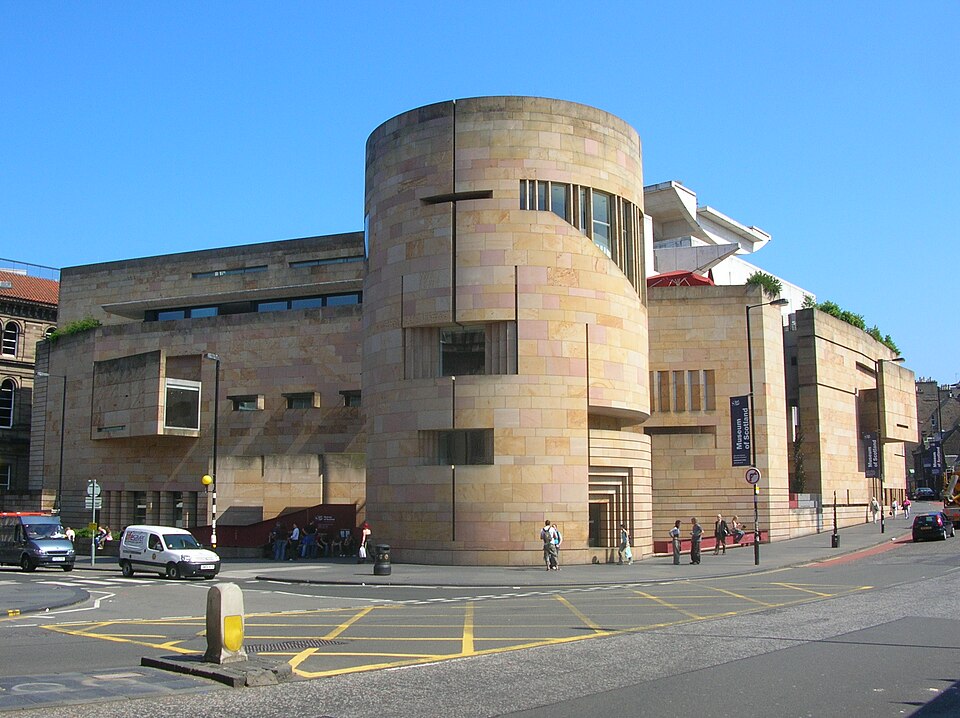
Photo: No machine-readable author provided. Maccoinnich~commonswiki assumed ( / Wikimedia Commons / CC BY-SA 3.0 National Museum of Scotland
Holds the finds from the 1949 excavations of the Cairnholy tombs.
-
Kirkdale Church
Ruined church dedicated to St Michael, around 700 metres to the west; a former parish belonging to Whithorn Priory that united with Kirkmabreck in 1618.
-
Cairnholy Farm
Adjacent farm that takes its name from Cairnholy II.
Discovery & excavation
Both tombs were partially excavated in 1949 by Stuart Piggott and Terence Powell. Cairnholy I's outer chamber produced a jadeite ceremonial axe fragment, Neolithic pottery sherds and a leaf-shaped arrowhead, with later Peterborough-ware and Beaker-ware sherds and a flint knife; its inner chamber held a secondary cist with food vessel sherds and a cup-and-ring carved stone. Cairnholy II yielded an arrowhead, a flint knife and secondary Beaker pottery sherds.
Finds now held at: National Museum of Scotland.
What to look for
-
Cairnholy I's curving façade
Cairnholy I, measuring 50 by 15 metres, has a monumental curving façade that formed the backdrop to a forecourt where excavation showed several fires had been lit.
-
Portal stones at Cairnholy II
Cairnholy II measures 20 by 12 metres and stands less than 60 centimetres high. Though robbed of stones, two portal stones still stand in front of the chambered tomb, with a very shallow v-shaped forecourt at the front.
-
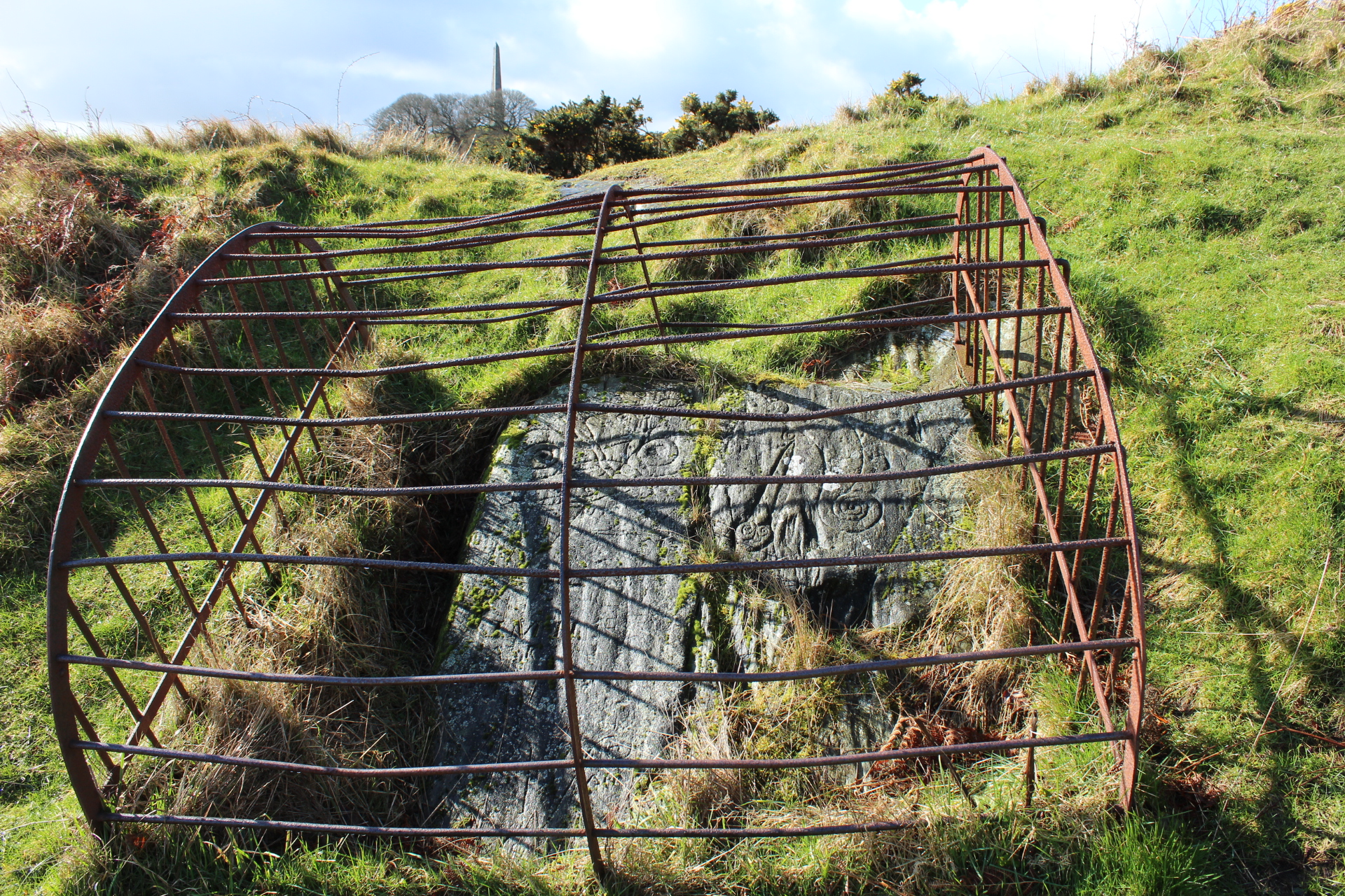
Cup and ring marked rocks
The area around the tombs is surrounded with rocks bearing cup and ring marks.
-
Circular cairn to the east
Around 160 metres east of Cairnholy Farm are the remains of a circular cairn, less than 15 centimetres high, that was found to contain human bones when stones were removed from it some time before 1849.
-
Ruins of Kirkdale Church
Around 700 metres to the west stand the ruins of Kirkdale Church, dedicated to St Michael and enclosed by an overgrown burial ground.
What is said
Folklore and tradition, recorded as what is said — not as established fact.
-
Tomb of King Galdus
Local tradition maintains that Cairnholy II was the tomb of Galdus, a mythical Scottish king.
Plan your visit
- Location
- 54.8592°N · 4.3096°W
- Access
- Open access
- Terrain
- Easy going
Nearby places
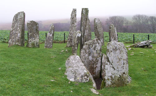
Tomb or burial place · Prehistoric
Cairn Holy Chambered Cairns
Dumfries and Galloway
Cairn Holy is the site of two Neolithic chambered tombs of the Clyde type, raised on a hillside overlooking Wigtown Bay near Cairnholy Farm. The tw…
- Near Carsluith
- 207 metres from car park
- Easy path
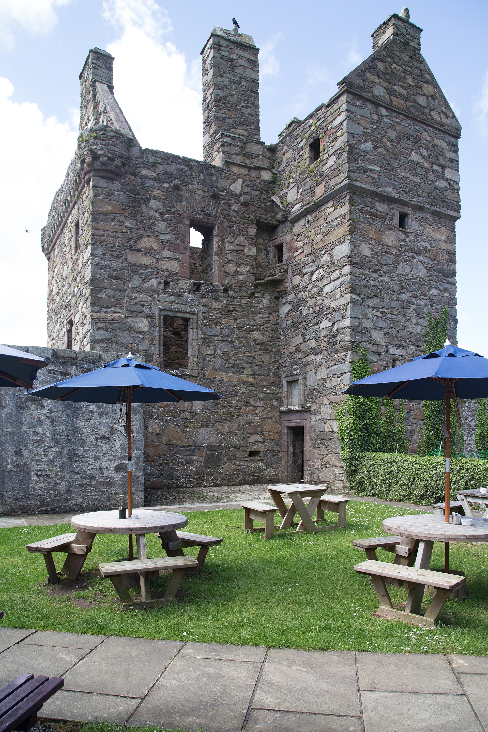
Fortified place · Medieval
Carsluith Castle
Dumfries and Galloway
Its owners' stubborn Catholic loyalty, embodied by Gilbert Brown, the last abbot of Sweetheart Abbey, makes this Galloway tower house a window onto…
Questions people ask
- What is Cairnholy?
- Cairnholy is the site of two Neolithic chambered tombs of the Clyde type, on a hillside overlooking Wigtown Bay, 4 kilometres east of Carsluith in Dumfries and Galloway. Both are scheduled monuments in the care of Historic Scotland.
- When were the Cairnholy tombs excavated?
- Both tombs were partially excavated in 1949 by archaeologists Stuart Piggott and Terence Powell. The finds from the excavations are held in the National Museum of Scotland.
- What does the name Cairnholy mean?
- The name represents Gaelic Càrn na h-ulaidhe, meaning 'cairn of the stone tomb'. The nearby Cairnholy Farm takes its name from the second of the two tombs.
- Is Cairnholy the tomb of King Galdus?
- Local tradition maintains that Cairnholy II was the tomb of Galdus, a mythical Scottish king. This is a legend rather than established fact.
- What was found at Cairnholy?
- Finds include a fragment of a jadeite ceremonial axe, Neolithic pottery, a leaf-shaped arrowhead, Peterborough-ware and Beaker pottery sherds, flint knives, food vessel sherds and a cup-and-ring carved stone.
- How do you get to Cairnholy?
- The site can be accessed at the end of a minor road about 1 kilometre from the A75 road, next to Cairnholy Farm. The two tombs lie within 150 metres of each other.
Sources
- Wikipedia: Cairnholy (accessed 2026-07-18)
- Historic Environment Scotland: Cairn Holy, chambered cairn 35m S of Cairnholy (SM90049) (accessed 2026-07-18)
- Historic Environment Scotland: Cairn Holy, chambered cairn 190m SSW of Cairnholy (SM90050) (accessed 2026-07-18)
- Wikidata: Cairnholy (Q1025952) (accessed 2026-07-18)
Explore more: Tomb or burial places · Prehistoric · Dumfries and Galloway
The Ancient Codex, in your pocket
Get the Pocket Codex app
Carry the directory with you — Cairnholy and thousands of ancient places across Britain and Ireland, offline, wherever you roam.