
An Iron Age hillfort enclosing some 7 hectares sat on the flat-topped basalt hill, alongside Iron Age roundhouses, an earlier Bronze Age burial cairn, later medieval enclosures and (much later) a…
Burnswark Hillfort and Roman Siege Camps is a fortified place near Ecclefechan, Dumfries and Galloway, Scotland.
What follows is drawn from published sources, with each claim labelled by how firmly it is established.
History
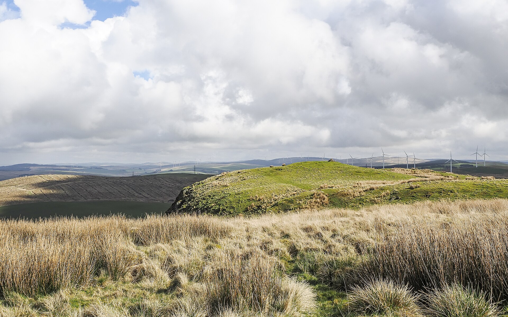
An Iron Age hillfort enclosing some 7 hectares sat on the flat-topped basalt hill, alongside Iron Age roundhouses, an earlier Bronze Age burial cairn, later medieval enclosures and (much later) a possible Civil War battery and an Ordnance Survey triangulation station.
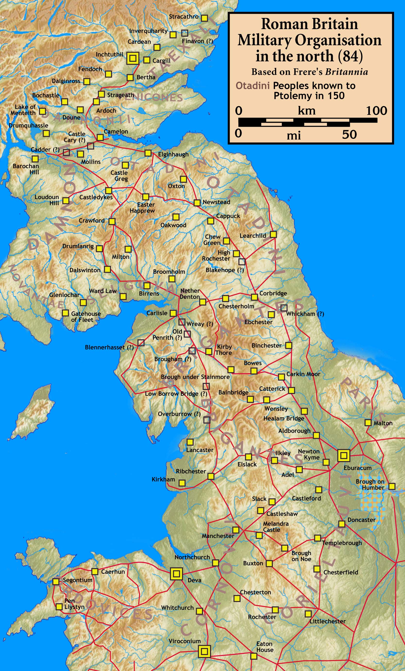
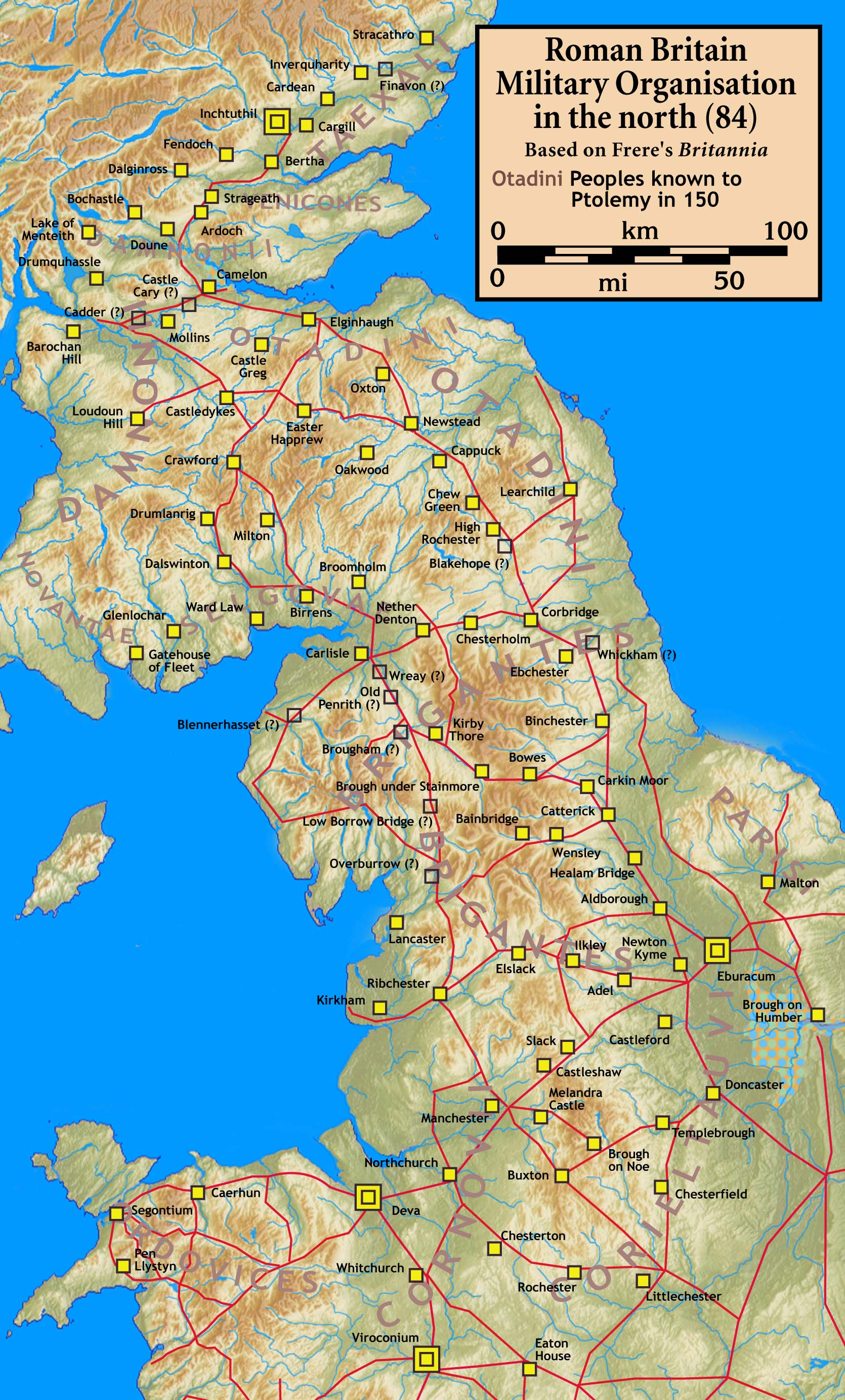
The hillfort's defences had collapsed or been 'deliberately felled' before about AD 140, when the site was bombarded with Roman sling bullets, arrows and artillery missiles — now generally accepted as a real Roman assault rather than a training exercise, almost certainly part of Quintus Lollius Urbicus's conquest of the Scottish Lowlands around AD 140.
Two substantial Roman siege camps were built either side of the fort, isolating it; they could have housed around 6,000 soldiers, with massed slingers, archers and siege artillery facing defenders armed mainly with swords, spears and shields.
By AD 142 the Romans had pacified the Caledonian Lowlands and moved the frontier north to the newly built Antonine Wall.
In November 1542, James V of Scotland rode from Lochmaben Castle to Burnswark Hill to watch fires started by the Scottish army; on learning of the defeat at the Battle of Solway Moss he returned to Stirling Castle.
People
-
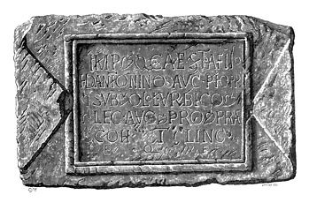
Portrait: Unknown authorUnknown author / Wikimedia Commons / Public domain Quintus Lollius Urbicus
Roman Governor of Britannia (a native of Tiddis in modern Algeria) who led the conquest of the Scottish Lowlands c. AD 140; the Burnswark assault is attributed to his campaign
-
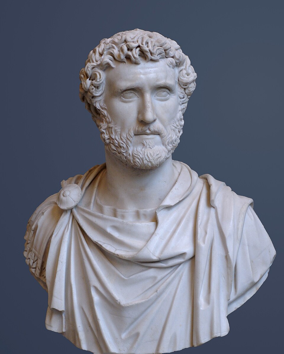
Portrait: Unknown artistUnknown artist / Wikimedia Commons / Public domain Antoninus Pius
Roman emperor who ordered the push north of Hadrian's Wall; a large Victory inscription dedicated to him was found near the nearby fort of Blatobulgium (Birrens)
-
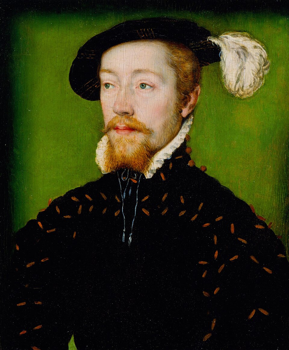
Portrait: Corneille de Lyon / Wikimedia Commons / Public domain James V of Scotland
King who rode to Burnswark Hill in November 1542 to watch the Scottish army's fires before the defeat at Solway Moss
-
The Selgovae
Caledonian tribe of the Dumfriesshire region among the first to face Lollius Urbicus's legions
Cultural influences
-
Roman siege warfare — the camps were substantial fortifications built for a prolonged siege, with hundreds of lead sling bullets, iron arrowheads and ballista balls concentrated on the south-eastern side facing the fort's main entrances.
-
The Antonine advance into Caledonia — Burnswark was likely one of many engagements as three legions (II Augusta, VI Victrix and XX Valeria Victrix), a force of at least 16,500 men, pushed the frontier north between 139 and 142.
-
A deep landscape of reuse — the same hill carries a Bronze Age burial cairn, an Iron Age hillfort and roundhouses, medieval enclosures and later features, a layering of occupation across millennia.
Connections
-
Blatobulgium (Birrens)
Nearby Antonine Roman fort where one of Britain's largest Victory inscriptions and rare 'architecti' inscriptions were found, linked to the same campaign
-
Antonine Wall
The new frontier the Romans established to the north after pacifying the Lowlands by AD 142
-
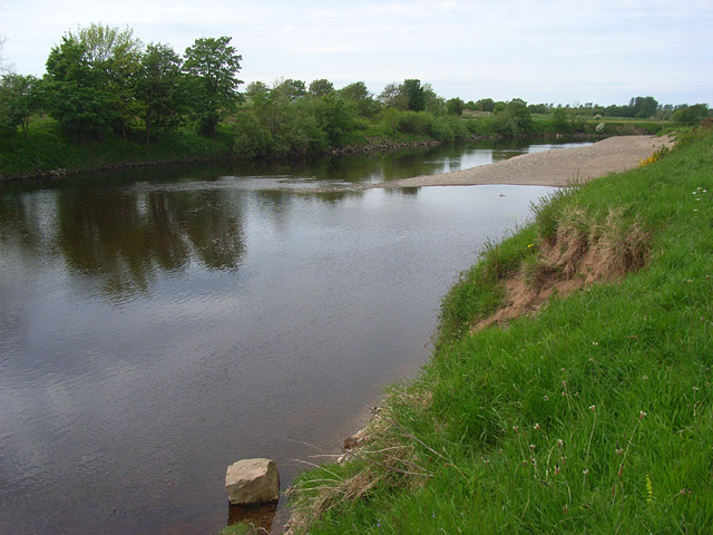
Photo: Andrew Smith / Wikimedia Commons / CC BY-SA 2.0 Battle of Solway Moss
The 1542 Scottish defeat James V learned of while at Burnswark Hill
-
Lochmaben Castle
Where James V rode from to reach Burnswark Hill in 1542
Discovery & excavation
Excavation has recovered hundreds of lead sling bullets — unsuitable for training because they cannot be seen in flight and were costlier than stone or clay — concentrated along the south-eastern side of the fort, together with iron arrowheads and ballista balls. Some stone shot had been coloured red, possibly to aid recovery for reuse. Arrowheads found on top of (not under) the ramparts suggested to the excavator that the defences had already been made unusable before the bombardment. Just outside the southern camp are three large protective outworks ('The Three Brethren'), about 3.5 m high and 15 m across with rock-cut ditches, which may have mounted ballistae.
In culture
-
Burnswark is a key site in the debate over Rome's conquest of southern Scotland: long argued to be either a unique military training ground or the scene of a real assault, the balance of evidence — especially the mass of lead sling shot — now favours a genuine siege and Roman victory.
-
The strategic context is briefly noted in a part of the Historia Augusta generally held to be reliable, and recent excavation has allowed reconstructions of the assault.
What to look for
-
The flat-topped basalt hill itself — formed from a lava flow some 300 million years ago — commanding the western route northward into Caledonia.
-
The two Roman camps at the base of the hill, north and south of the fort, with a possible fortlet (or pre-existing earthwork) within the South Camp.
-
'The Three Brethren' — three substantial protective outworks just outside the southern camp, about 3.5 m high and 15 m across, larger than usual tituli.
-
The ramparts of the Iron Age hillfort enclosing roughly 7 hectares on the summit, with traces of Iron Age roundhouses and an earlier Bronze Age cairn.
Plan your visit
- Location
- 55.0969°N · 3.2761°W
- Nearest settlement
- Ecclefechan
- Access
- Reached on a public path
- Terrain
- Moderate walking
- Start point
- Middlebie village (nearest settlement to Burnswark Hill) (parking unconfirmed) — nearest settlement; specific parking not confirmed. No named car park or trailhead is mapped within ~3km of Burnswark Hill. Access is typically on foot from minor roads near Middlebie/Ecclefechan, east of the A74(M); confirm a roadside start point and any access permissions locally before travel.
Nearby places
Fortified place · Roman
Birrens Roman Fort
Dumfries and Galloway
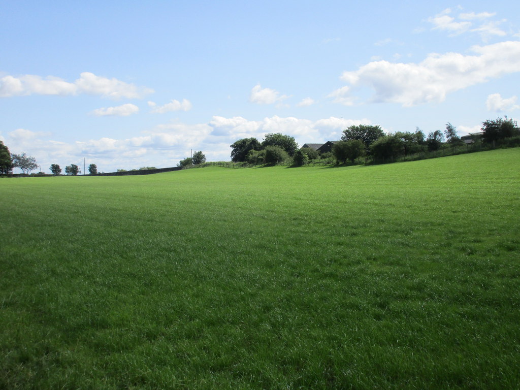
Several Roman camps lie near Birrens, at least one first occupied in the Flavian period from AD 79, probably during the Agricolan campaigns, when i…
- Near Middlebie
- 14 min walk from car park
- Some walking
Sources
- Canmore site record 66626 (accessed 2026-06-13)
- Trove (HES) record (accessed 2026-06-13)
- Wikipedia: Burnswark Hill (accessed 2026-06-13)
- Wikidata Q116267740 (accessed 2026-06-13)
Explore more: Fortified places · Iron Age · Dumfries and Galloway
The Ancient Codex, in your pocket
Get the Pocket Codex app
Carry the directory with you — Burnswark Hillfort and Roman Siege Camps and thousands of ancient places across Britain and Ireland, offline, wherever you roam.