
Several Roman camps lie near Birrens, at least one first occupied in the Flavian period from AD 79, probably during the Agricolan campaigns, when its internal buildings would have been timber.
Birrens Roman Fort is a fortified place near Middlebie, Dumfries and Galloway, Scotland.
What follows is drawn from published sources, with each claim labelled by how firmly it is established.
The name
The Roman name Blatobulgium is recorded in the Antonine Itinerary. It derives from the Brittonic *blāto- ('bloom, blossom', or from earlier *mlāto-, 'flour') and *bolgo- ('bag, bulge'), so may mean 'flowery hillock' or 'flowery hollow'. Because the fort had granaries, it has also been suggested the name was a nickname meaning 'Flour Sacks'.
History
Several Roman camps lie near Birrens, at least one first occupied in the Flavian period from AD 79, probably during the Agricolan campaigns, when its internal buildings would have been timber.
Under Hadrian, soon after AD 122, a new fort was built as an outpost of Hadrian's Wall on the site of a late-1st-century fortlet, with timber buildings and a large western annexe.
The visible fort dates from the Antonine period around AD 142, when, after the reconquest of the Scottish Lowlands, it was rebuilt and enlarged to protect the western road to the Antonine Wall and to hold a nominally 1,000-strong milliaria equitata garrison, the 1st Cohort Nerviana Germanorum.
It was destroyed, perhaps by enemy action, around AD 155. The poorer-quality stone buildings of the second Antonine period (from AD 159) housed a new garrison, the 2nd Cohort of Tungrians, also milliaria equitata. From about AD 163 it was again an outpost of Hadrian's Wall, and was finally abandoned by about AD 184.
People
-
1st Cohort Nerviana Germanorum
Nominally 1,000-strong mixed cavalry-and-infantry garrison of the Antonine-period fort
-
2nd Cohort of Tungrians
Garrison of the second Antonine-period fort from AD 159, also milliaria equitata
-
Ricagambeda
Celtic goddess to whom an altar stone found at the fort was dedicated
Cultural influences
-
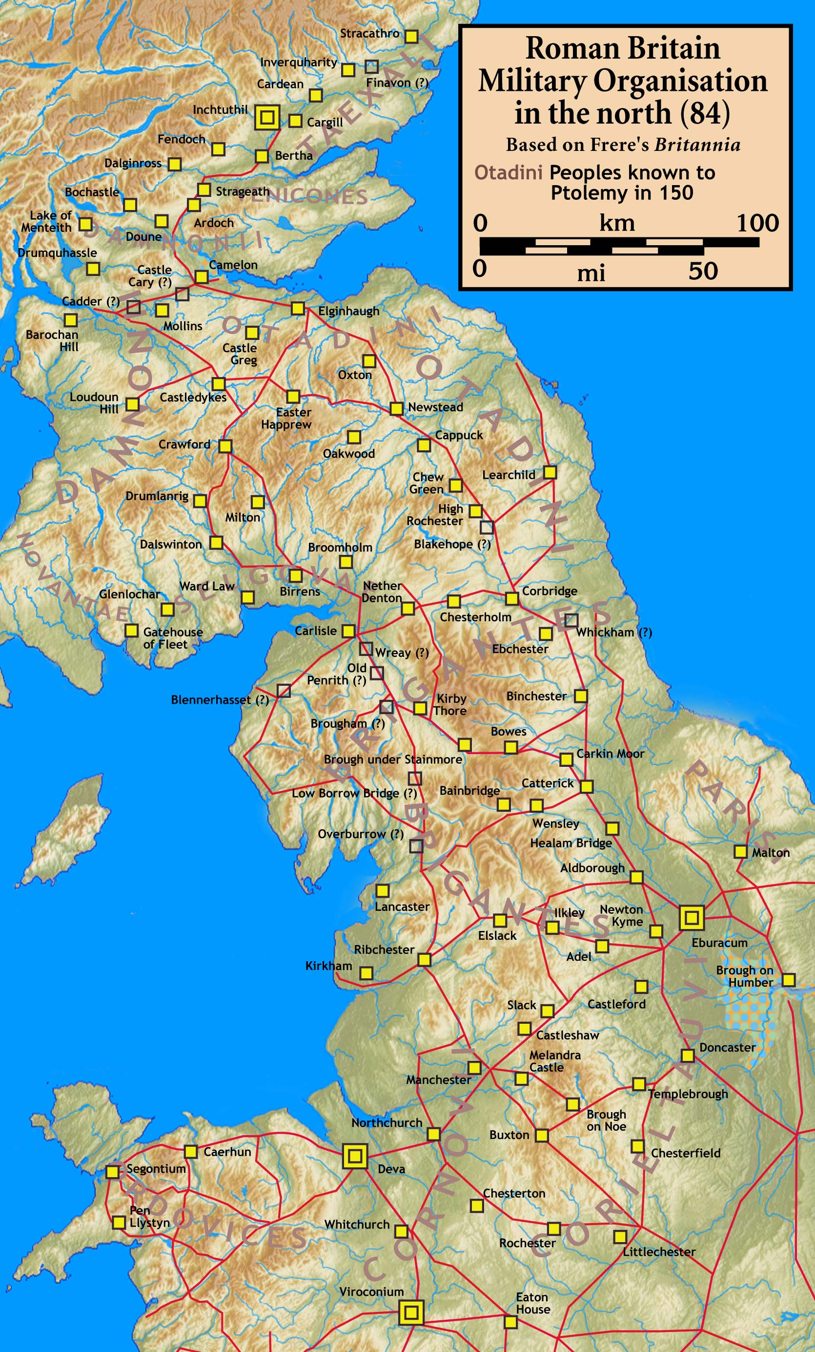
Part of the Roman outpost-fort system beyond the frontier — Birrens guarded the main western road into Scotland and, when the frontier lay on Hadrian's Wall, served as an outpost about 11 miles from the Castra Exploratorum fort (Netherby, Cumbria).
-
It formed the northern terminus of the Roman-era Watling Street (in its extended definition), or Route 2 of the Antonine Itinerary, and lay in the territory of the Selgovae.
Connections
-
Hadrian's Wall
The frontier Birrens served as an outpost fort for
-
Castra Exploratorum (Netherby, Cumbria)
Roman fort about 11 miles away on the western route
-
Antonine Wall
The frontier whose western road Birrens was rebuilt to protect in the Antonine period
-
The Selgovae
The native people in whose territory the fort lay
Discovery & excavation
More inscribed and sculptured stones have been found at Birrens than anywhere else in Scotland, including an altar stone dedicated to the Celtic goddess Ricagambeda.
Plan your visit
- Location
- 55.0650°N · 3.2244°W
- Nearest settlement
- Middlebie
- Access
- Reached on a public path
- Terrain
- Moderate walking
- Start point
- Middlebie (parking unconfirmed) — Nearest settlement; specific parking not confirmed. No dedicated car park serving the fort was found from OSM or official sources.
Nearby places
Fortified place · Iron Age
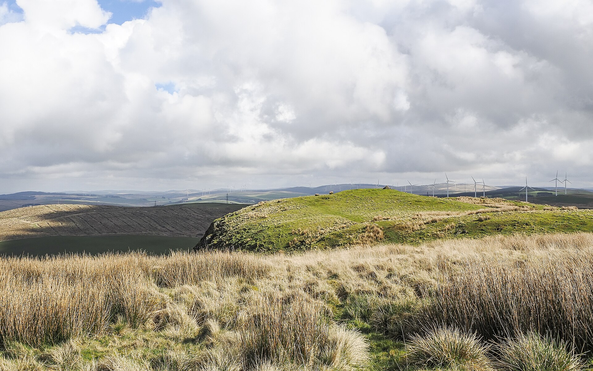
Burnswark Hillfort and Roman Siege Camps
Dumfries and Galloway
An Iron Age hillfort enclosing some 7 hectares sat on the flat-topped basalt hill, alongside Iron Age roundhouses, an earlier Bronze Age burial cai…
- Near Ecclefechan
- 1.9 km from car park
- Some walking
Sources
- Canmore site record 67099 (accessed 2026-06-13)
- Trove (HES) record (accessed 2026-06-13)
- Wikipedia: Blatobulgium (accessed 2026-06-13)
- Wikidata Q1710821 (accessed 2026-06-13)
Explore more: Fortified places · Roman · Dumfries and Galloway
The Ancient Codex, in your pocket
Get the Pocket Codex app
Carry the directory with you — Birrens Roman Fort and thousands of ancient places across Britain and Ireland, offline, wherever you roam.