
Radiocarbon dating shows the neighbouring Brown Caterthun was built and modified over several centuries in the latter half of the first millennium BC. Parts of the White Caterthun may have been…
The Caterthuns form a ridge of hills near Brechin, and from White Caterthun’s summit the neighbouring Brown Caterthun stands in full view on its own rise to the east. The two forts read as a single defended landscape, not two separate strongholds. White Caterthun is the western of the pair, a scheduled Iron Age hillfort on that ridge in Angus.
What we know
Radiocarbon dating on Brown Caterthun shows it was built and modified across several centuries in the later first millennium BC. Parts of White Caterthun may have been contemporary with that work, but its own main stone wall is thought to have been raised afterward — by the Picts, or their Iron Age progenitors, in the first few centuries AD. The dating in the sources used here is described as scholarly interpretation, not settled fact; no excavation record is cited to fix it more precisely.
The name records something of that difference. White Caterthun takes its name from the pale colour of its dry-stone wall; Brown Caterthun, across the ridge, is named for its earthen, brown-toned embankments — “brown” possibly from the British word for hill, bron or bryn. Both forts are recorded on Canmore (site 35007), designated together as scheduled monument SM90069, and identified in Wikidata as Q24638115.
Two forts, then, raised in different materials and, it seems, different generations — one ridge shaped more than once, by builders who left no names behind.
What is said
No local tradition or folklore about White Caterthun is recorded in the sources used here. Whatever was once remembered about the hill has not survived into those sources — only the archaeological reading of the wall itself is documented.
What to see now
The wall is what the name promises, and the first thing the eye finds: a massive, light-coloured dry-stone rampart enclosing the oval summit, still substantial enough to read as one continuous structure rather than scattered rubble. A well or cistern survives in the middle of the fort interior. Several entrances open outward from the summit like the spokes of a wheel; their purpose is not recorded, and they may once have aligned with features that no longer exist. Across the ridge to the east, Brown Caterthun’s earthen embankments remain visible from the White fort — the two sites still read as one arrangement, wall and bank facing each other across the same ground.
How to visit
White Caterthun is open access. A car park sits at the foot of the hill, on the minor road between the White and Brown Caterthuns; from there the walk to the summit is short but steep, about 809 metres and fifteen minutes uphill on a track and grass path. The parking location is confirmed only to a “likely” standard from public mapping data, and the walking route itself has not been field-verified. The site falls within a Property in Care hillfort landscape; beyond that, walking conditions and parking arrangements are not confirmed further in the sources used here.
What follows is drawn from published sources, with each claim labelled by how firmly it is established.
The name
The fort takes its name 'White' from its massive, light-coloured dry-stone wall. (The neighbouring Brown Caterthun is named for its earthen, brown embankments; 'brown' may derive from the British word for hill, 'bron' / 'bryn'.)
History
Radiocarbon dating shows the neighbouring Brown Caterthun was built and modified over several centuries in the latter half of the first millennium BC. Parts of the White Caterthun may have been contemporary, but its main stone wall is believed to have been built by the Picts or their progenitors in the first few centuries AD.
People
-
The Picts (or their progenitors)
Believed builders of the White Caterthun's main stone wall in the first few centuries AD
Cultural influences
-
Iron Age and early Pictish hillfort building tradition in Angus — a massive oval dry-stone enclosure on a prominent ridge, part of a paired fort landscape with the Brown Caterthun.
Connections
-
Brown Caterthun
Companion Iron Age fort on the eastern hill of the same Caterthuns ridge; earthwork-built, possibly partly contemporary
-
Brechin
Nearest city, in Angus, by which the Caterthuns ridge is located
What to look for
-
The massive light-coloured dry-stone wall of the oval summit fort — the feature that gives the White Caterthun its name.
-
A well or cistern in the middle of the fort interior.
-
Several entrances radiating outward from the summit like the spokes of a wheel — their significance unknown, possibly aligned with features that no longer exist.
-
The view across to the Brown Caterthun on the eastern hill, its contrasting earthen embankments visible from the White fort.
Plan your visit
- Location
- 56.7908°N · 2.7292°W
- Nearest settlement
- Brechin
- Access
- Open access
- Terrain
- Moderate walking
- Start point
- Caterthuns car park (foot of the hill) — Free car park on the minor road on the ridge between the White and Brown Caterthuns; the White Caterthun hillfort is a short but steep walk up from here.
Nearby places
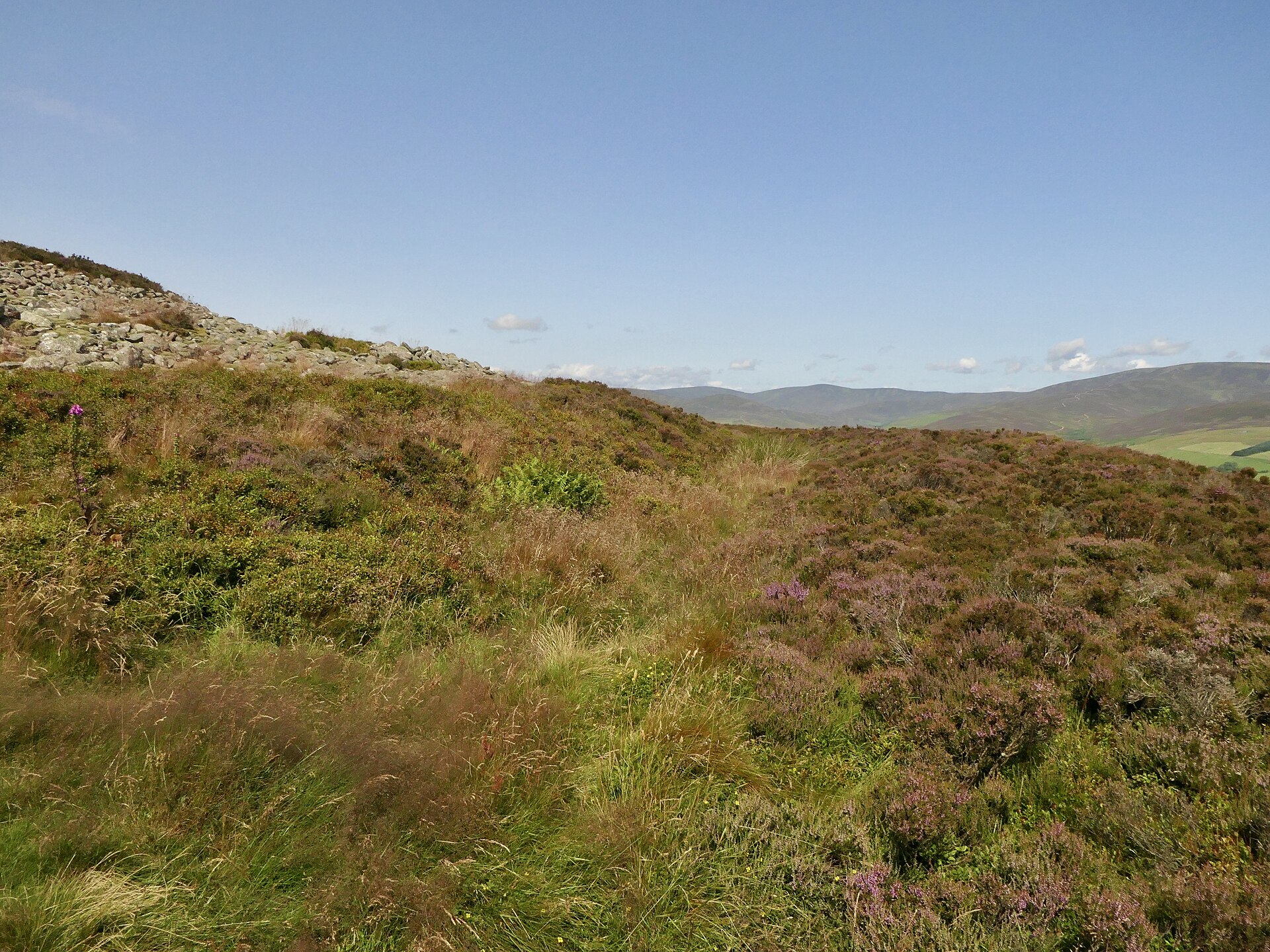
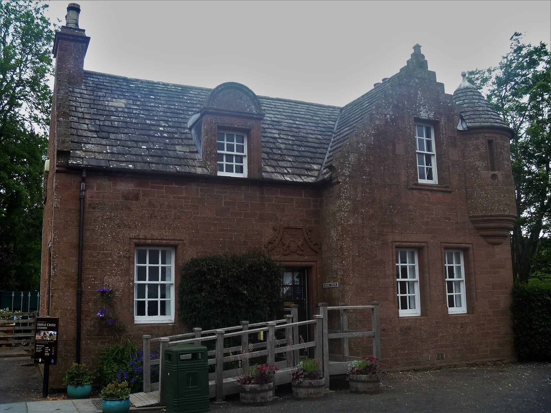
Fortified place · Medieval
Edzell Castle and Garden
Angus
Edzell's walled garden of 1604, ringed with carved panels of the planetary deities, liberal arts and cardinal virtues, is unique in Scotland and am…
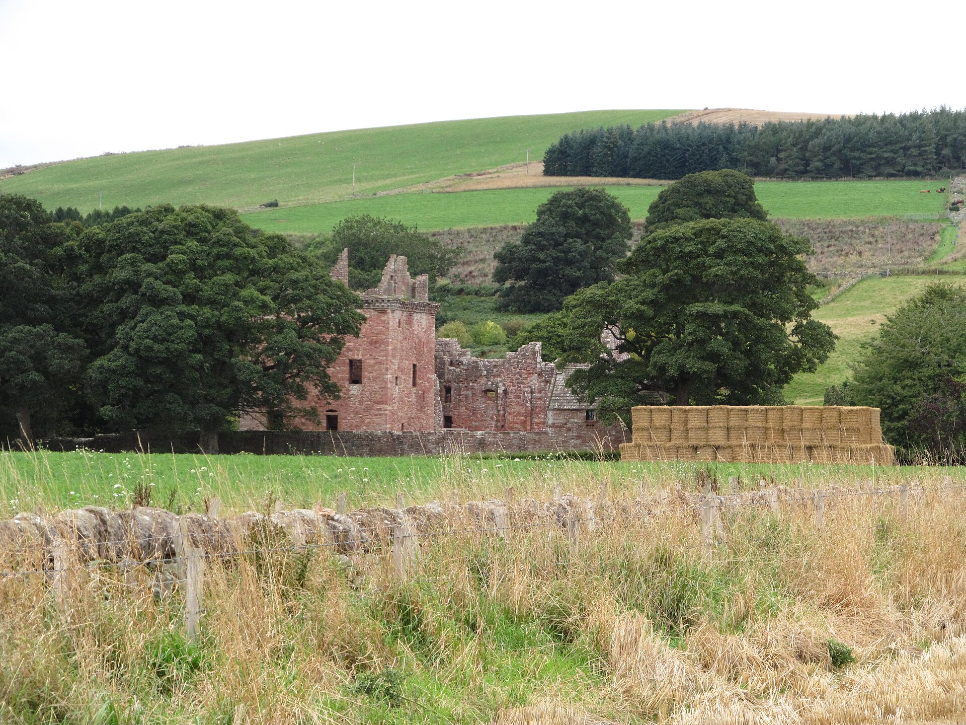
Minor monument · Medieval
Dovecot, Mains Of Edzell
Angus
Dovecote with HES-listed pre-1800 evidence (1600).
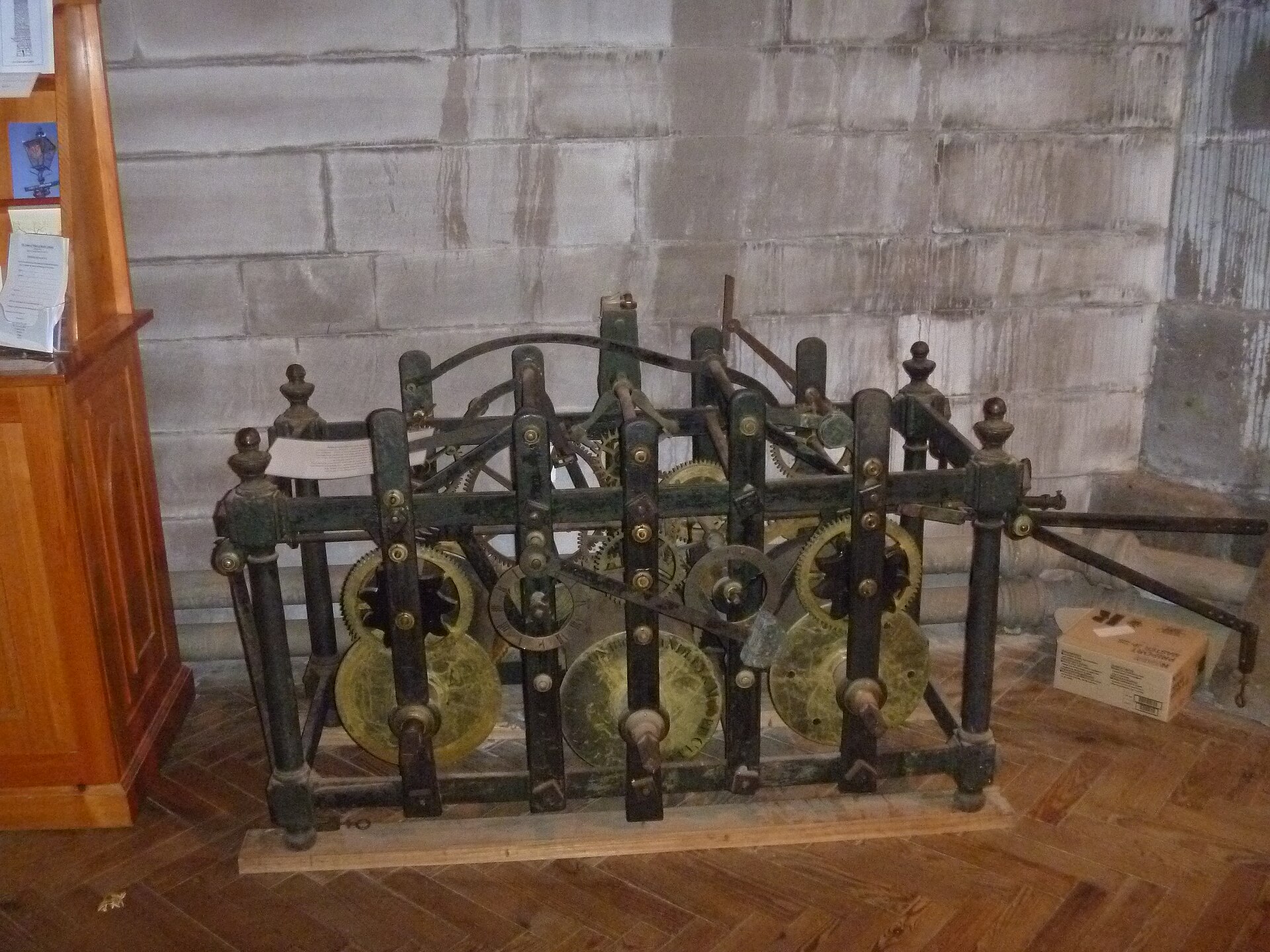
Sacred place · Medieval
Brechin Cathedral
Angus
It preserves one of only two surviving Irish-style round towers in Scotland, set beside a medieval cathedral and rare 11th-century carved stones.
Questions people ask
- How old is White Caterthun?
- The main stone wall is thought to date from the first few centuries AD, built by the Picts or their progenitors; the neighbouring Brown Caterthun's earthworks are radiocarbon-dated to the later first millennium BC.
- Who built White Caterthun?
- The main wall is believed to have been built by the Picts, or their Iron Age progenitors, in the first few centuries AD — a scholarly interpretation rather than a firm excavation date.
- Can you visit White Caterthun?
- Yes — it is open access, with a car park at the foot of the hill and a roughly 809-metre, fifteen-minute walk up to the summit fort.
- Where is White Caterthun?
- On the Caterthuns ridge in Angus, Scotland, near Brechin, alongside its companion fort Brown Caterthun; the coordinates given here are exact and public.
- What survives at White Caterthun today?
- A massive dry-stone wall enclosing the oval summit, a well or cistern near its centre, and several entrances whose original purpose is not recorded.
Sources
- Canmore site record 35007 (accessed 2026-07-09)
- Trove (HES) record (accessed 2026-07-09)
- HES designation SM90069 (accessed 2026-07-09)
- Wikipedia: Caterthun (accessed 2026-07-09)
- Wikidata Q24638115 (accessed 2026-07-09)
Explore more: Carved stones · Prehistoric · Angus
The Ancient Codex, in your pocket
Get the Pocket Codex app
Carry the directory with you — White Caterthun and thousands of ancient places across Britain and Ireland, offline, wherever you roam.