
Dumbarton Castle has the longest recorded history of any stronghold in Scotland. It sits on Dumbarton Rock, a basalt volcanic plug 240 feet (73 m) high formed 330–340 million years ago during the…
Dumbarton Castle and Dumbarton Rock is a fortified place near Dumbarton, West Dunbartonshire, Scotland.
What follows is drawn from published sources, with each claim labelled by how firmly it is established.
The name
The Gaelic name Dùn Breatainn means 'the fortress of the Britons'. The Brythonic name for the rock itself, Alt Clut (Welsh: Alt Clut; Scottish Gaelic: Alt Chluaidh), means 'Rock of the Clyde' and became a metonym for the kingdom centred there. David Nash Ford has proposed that Dumbarton was the Cair Brithon ('Fort of the Britons') listed by Nennius among the 28 cities of Sub-Roman Britain.
History
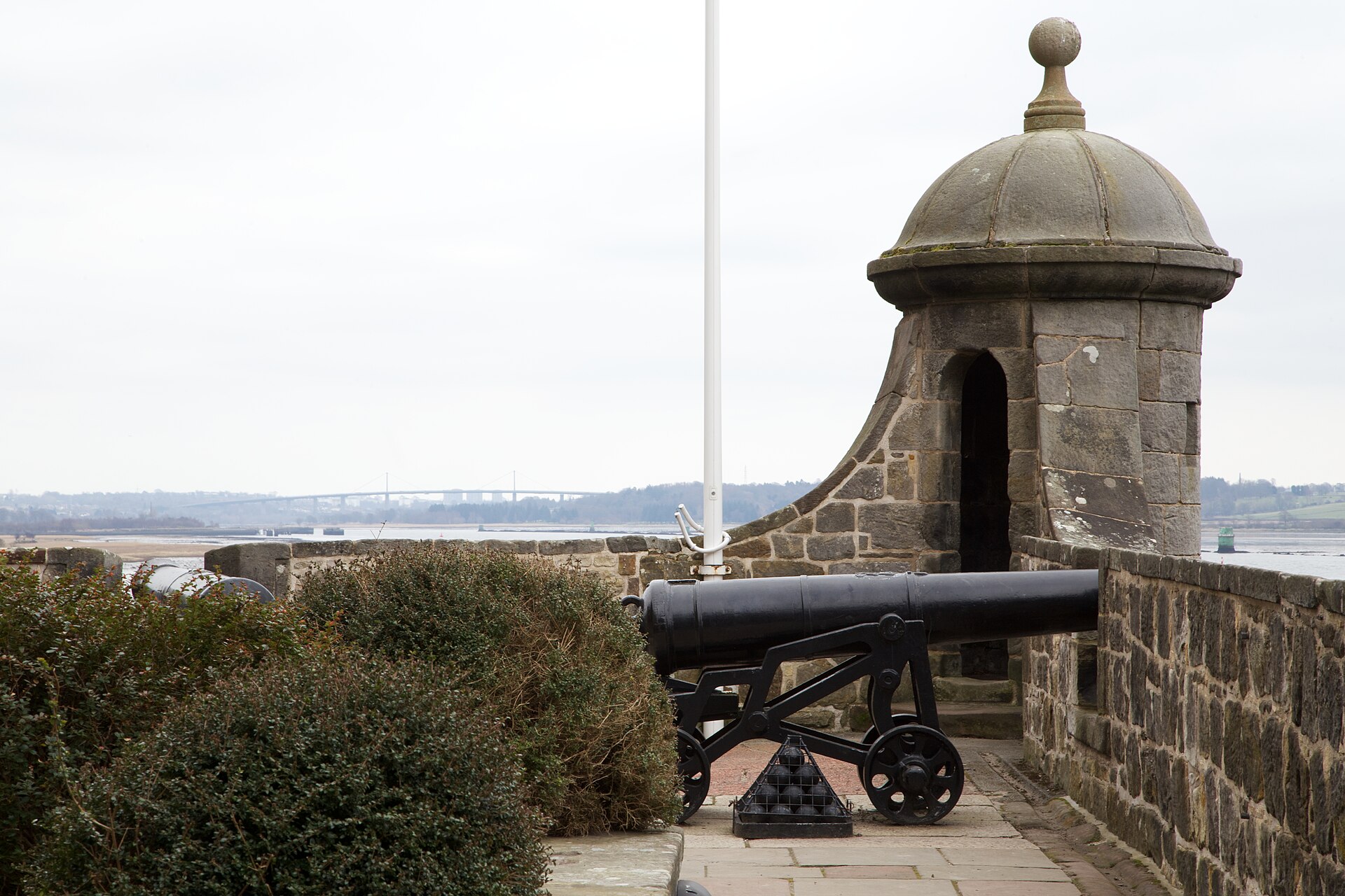
Dumbarton Castle has the longest recorded history of any stronghold in Scotland. It sits on Dumbarton Rock, a basalt volcanic plug 240 feet (73 m) high formed 330–340 million years ago during the Early Carboniferous period.
From the 5th to the 9th century the rock was the centre of the independent Brythonic Kingdom of Strathclyde (Alt Clut). The first written record of a settlement there is a late-5th-century letter from Saint Patrick to King Ceretic of Alt Clut.
In 756 a joint force of Picts and Northumbrians captured the fortress after a siege, only to lose it again a few days later.
In 871 the Irish-based Viking kings Amlaíb Conung and Ímar besieged the rock; it fell after four months when its water supply failed, and the kings returned to Ireland with 200 ships and a host of British, English and Pictish captives. After this the rock disappears from record until the 13th century, the Strathclyde capital apparently relocating up the Clyde toward Partick and Govan.
In medieval Scotland it was an important royal castle, believed to be where Sir John Menteith took the captured William Wallace on the way to London.
Mary, Queen of Scots was kept at the castle for several months in 1548 before embarking from the Clyde for France on 7 August 1548. During the Marian Civil War the castle was held for Mary until it was captured for the regent's party in the early hours of 2 April 1571 by forces led by Thomas Crawford of Jordanhill, who scaled the rock with ladders to surprise the garrison.
Its strategic importance declined after Oliver Cromwell's death in 1658, but Jacobite and French threats in the 18th century prompted new defences, and the castle was garrisoned until World War II.
People
-
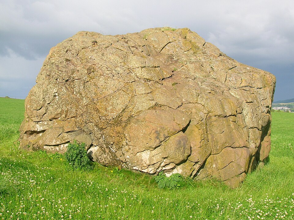
Portrait: Rosser1954 Roger Griffith / Wikimedia Commons / Public domain Riderch Hael (Rhydderch the Generous)
King of Dumbarton about AD 570, who features in Welsh and Latin works
-
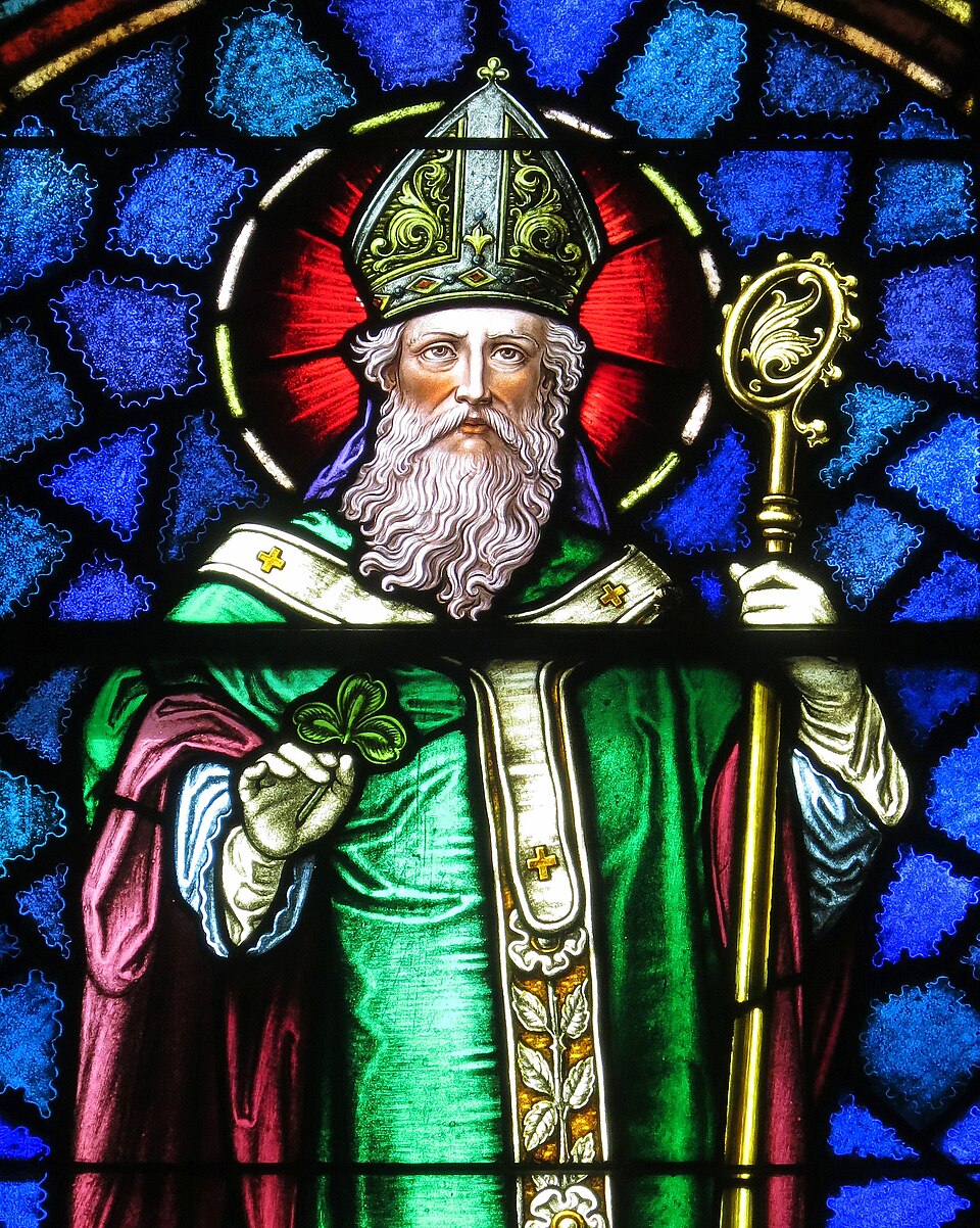
Portrait: Nheyob / Wikimedia Commons / CC BY-SA 4.0 Saint Patrick
Wrote a late-5th-century letter to King Ceretic of Alt Clut — the first written record of the settlement
-
Sir Malcolm Fleming of Fulwood, 1st Earl of Wigtown
Governor who sheltered the young David II and Queen Joan after Halidon Hill (1333), held the castle against an English siege, and was created the first new Scottish earl in over a century
-
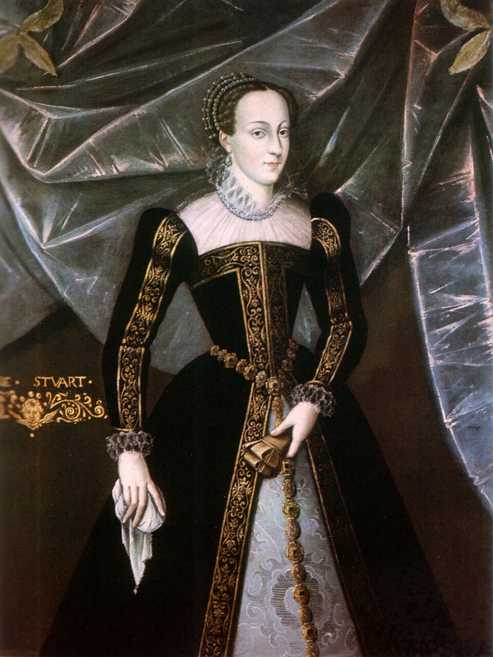
Portrait: Unidentified painter / Wikimedia Commons / Public domain Mary, Queen of Scots
Kept at the castle in 1548 before sailing to France for safety
-
Thomas Crawford of Jordanhill
Led the 1571 escalade that captured the castle for the regent's party during the Marian Civil War
-
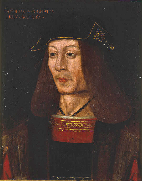
Portrait: Unknown authorUnknown author / Wikimedia Commons / Public domain James IV of Scotland
Used Dumbarton as his west-coast naval base for campaigns to subdue the Western Isles, and gave the castle to his queen Margaret Tudor in 1503
Cultural influences
-
As Alt Clut, the rock was the capital of the Kingdom of Strathclyde, one of the major Brythonic ('British') power centres of early-medieval Scotland, until its fall to the Vikings in 871.
-
Its commanding position over the Clyde made it a recurring royal stronghold, naval base and prison — used by James IV for his island campaigns and as a place of refuge and embarkation for monarchs including the infant Mary, Queen of Scots.
-
Several inventories of the castle's contents survive (1510, 1571, 1580, 1644, 1668), listing guns, furniture and named locations within the fortress and documenting its long military role.
Connections
-
Kingdom of Strathclyde (Alt Clut)
The rock was its fortress-capital from the 5th to the 9th century
-
Govan and Partick
Where the restructured Strathclyde capital appears to have relocated after the Viking sack of 871
-
Edinburgh Castle
Guns from Dumbarton were taken to help besiege it during the Marian Civil War
In culture
-
The castle features in Jane Porter's 1810 historical novel The Scottish Chiefs.
-
In 1803 Dorothy and William Wordsworth visited; Dorothy recorded the visit in her Recollections of a Tour Made in Scotland.
What to look for
-
Dumbarton Rock itself — a 240-foot basalt volcanic plug with twin summits commanding the Clyde.
-
Surviving medieval fabric: the 14th-century Portcullis Arch, the foundations of the Wallace Tower, and what may be the foundations of the White Tower.
-
The 16th-century guard house, with the face said to be 'Fause Menteith'.
-
Mostly 18th-century structures, including the Governor's House and fortifications adapting the intractable site to contemporary defence.
-
The climb of 627 steps to the summit of the White Tower Crag, with its wide view over the area.
What is said
Folklore and tradition, recorded as what is said — not as established fact.
-
Merlin was said to have stayed at Alt Clut, and the medieval Scalacronica records the legend that 'Arthur left Hoël of Brittany his nephew sick at Alcluit in Scotland', where Hoël was then besieged by Scots and Picts — a story first appearing in Geoffrey of Monmouth's Historia Regum Britanniae. (legend)
-
A face on the 16th-century guard house is said by legend to be 'Fause Menteith', who betrayed William Wallace. (legend)
Plan your visit
- Location
- 55.9360°N · 4.5628°W
- Nearest settlement
- Dumbarton
- Access
- Paid entry — managed visitor site
- Terrain
- Moderate walking
- Start point
- Dumbarton Castle · Castle Road · Dumbarton · Dunbartonshire · G82 1JJ · National Grid reference: NS 398 744 - NS 401 745 · Telephone: 0131 668 8965 · [](https://www.goodjourney.org.uk/attractions/dumbarton-castle/)
- Best time
- _Opening times and admission prices are subject to change_.
- Start point
- Dumbarton Castle car park, Castle Road — Free HES car park at the foot of Dumbarton Rock on Castle Road, by the visitor reception. The climb to the White Tower Crag summit is 627 steps.
- Sat-nav
- G82 1JJ · NS 398 744
Opening & admission
Free entry
- _Opening times and admission prices are subject to change_.
Nearby places
Ancient tree · Medieval
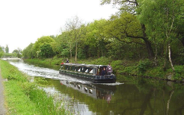
Bruce Tree
West Dunbartonshire
A named, long-standing tree carried in local memory as a landmark — included for its place in the landscape, with age and superlative claims held f…
- Near West Dunbartonshire
Ancient tree · Medieval
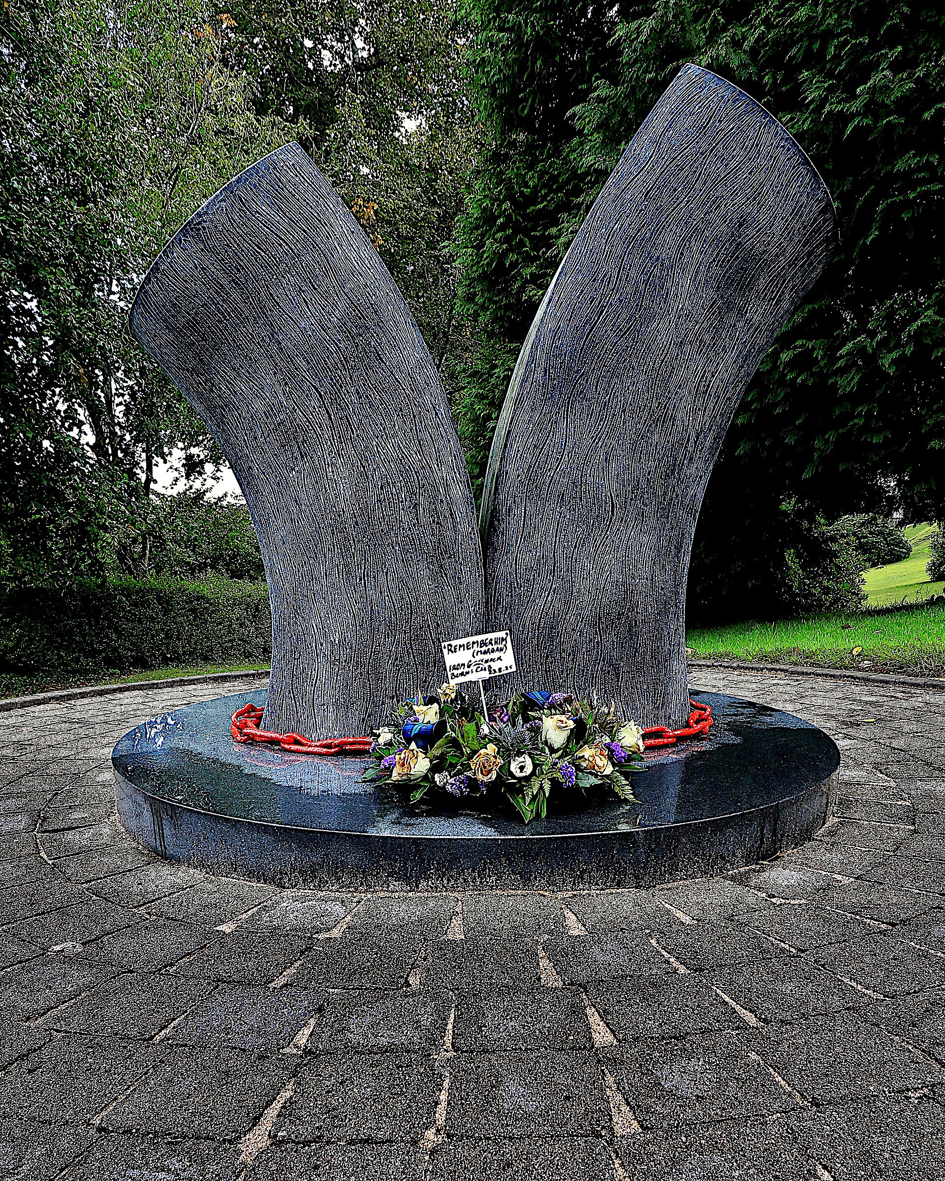
Wallace Oak (Port Glasgow)
Inverclyde
A named, long-standing tree carried in local memory as a landmark — included for its place in the landscape, with age and superlative claims held f…
- Near Inverclyde
Sources
- Canmore site record 43376 (accessed 2026-06-13)
- Wikipedia: Dumbarton Castle (accessed 2026-06-13)
- Wikidata Q2177200 (accessed 2026-06-13)
Explore more: Fortified places · Iron Age · West Dunbartonshire
The Ancient Codex, in your pocket
Get the Pocket Codex app
Carry the directory with you — Dumbarton Castle and Dumbarton Rock and thousands of ancient places across Britain and Ireland, offline, wherever you roam.