
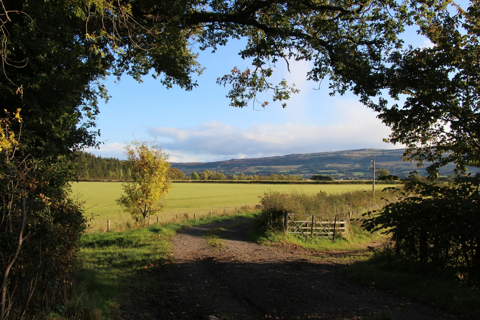
Ravines, burnside paths and cleared rhododendron frame the approach to Leckie Broch (an Iron Age drystone round tower) in the southern foothills of the Forth Valley. The site is a broch, an Iron Age drystone round tower, and one of only a handful known from southern Scotland.
What follows is drawn from published sources, with each claim labelled by how firmly it is established.
History
Leckie Broch stands above the confluence of two streams with deep gullies west of Gargunnock. Until the beginning of the 19th century the surrounding area was covered in impassable swamps and bogs, which prevented detailed exploration.
The broch became known to archaeologists in the 1960s and was excavated between 1970 and 1978. Those eight years of work produced multiple finds, including brooches and armlets.
The excavators believed the broch was a hollowed tower type with an internal timber structure. The site has several phases and is dated from the Roman period through Roman pottery, glass, coins and radiocarbon measurements.
The first phase appears to have been a hut beneath the later broch. Sheep bones from a post hole gave a radiocarbon date of AD 80, with a margin of 70 years.
The broch was built next. Roman Samian pottery with stamps places its construction after AD 79 or 80, and the tower was inhabited for roughly 60 years.
There was then evidence of fire and sudden collapse. Reoccupation followed, with some repairs and the creation of a roundhouse; the site was later fortified and then abandoned.
A medieval coin was found, but the source says nothing significant is thought to have occurred after abandonment in the 2nd century AD. Some have hypothesised that the destroyed broch was rebuilt as a promontory fort, though that second-phase interpretation has been questioned.
Recent visitors found the site almost inaccessible because of dense rhododendron, but clearance in 2020 made access much easier by the path near Leckie Burn.
People
-
B. Wilson
A University of New England visitor who found the site almost entirely inaccessible through rhododendron in July 2018.
Cultural influences
-
Southern broch rarity
Leckie is important because only a handful of brochs are known in southern Scotland.
-
Roman-period dating
Roman pottery, glass, coins and radiocarbon measurements anchor the site's chronology.
-
Vegetation and access
Rhododendron growth and later clearance strongly affected whether the site could be reached and understood.
Connections
-
Coldoch Broch
The source lists Coldoch as a nearby broch to the north.
-
Hunterian Museum and Art Gallery
Finds from Leckie are held there at the University of Glasgow.
-
Leckie Burn
The access route follows the east side of the burn.
-
Gargunnock
The site lies west of Gargunnock.
Discovery & excavation
Leckie became known to archaeologists in the 1960s and was excavated from 1970 to 1978. Finds included brooches, armlets, Roman pottery, glass, coins and dating evidence, and are held by the Hunterian Museum and Art Gallery.
Finds now held at: Leckie Broch; Hunterian Museum and Art Gallery.
What to look for
-
Broch remains
Although the original height is unknown because the walls were destroyed, the site preserves the broch footprint and later phases.
-
Burnside approach
The source describes access by a path east of Leckie Burn and past the 1878 bridge.
-
Roundhouse phase
After the fire and collapse, the site was reoccupied and a roundhouse was created.
-
Finds in Glasgow
Brooches, armlets and other finds are held by the Hunterian Museum and Art Gallery.
Plan your visit
- Location
- 56.1199°N · 4.1055°W
- Access
- Reached on a public path
- Terrain
- Rough ground — reasonable boots advised
Opening & admission
The source describes a path approach and no admission charge, but visitors should check current local access conditions.
- Rhododendron clearance in 2020 made access much easier.
- The route follows the east side of Leckie Burn and crosses the 1878 bridge.
- The site had previously been almost inaccessible due to dense rhododendron.
Nearby places
Fortified place · Medieval
Doune Castle
Stirling
A remarkably complete late-medieval Scottish castle built by one of the most powerful nobles of his day, later a royal residence and a witness to t…
Minor monument · Medieval
Market Cross, The Cross, Doune
Stirling
Mercat cross with HES-listed pre-1800 evidence (1620).
- Easy path
Fortified place · Medieval
Stirling Castle
Stirling
Stirling Castle holds the finest surviving Renaissance royal architecture in the British Isles, raised by the Stewart kings on a crag that commande…
Questions people ask
- What is Leckie Broch?
- It is an Iron Age broch in Stirlingshire, one of only a handful of brochs found in southern Scotland.
- When was Leckie Broch excavated?
- It was excavated between 1970 and 1978 after becoming known to archaeologists in the 1960s.
- How was the broch dated?
- The source names Roman pottery, glass, coins and radiocarbon measurements as dating evidence.
- What happened to Leckie Broch?
- The site shows evidence of fire and sudden collapse, followed by reoccupation, repair and a roundhouse phase before abandonment.
- Where are the finds from Leckie Broch?
- They are held by the Hunterian Museum and Art Gallery at the University of Glasgow.
Sources
- Wikipedia article
- Wikidata
- Hunterian Museum and Art Gallery
- Wikimedia Commons media
Explore more: Fortified places · Iron Age · Stirling
The Ancient Codex, in your pocket
Get the Pocket Codex app
Carry the directory with you — Leckie Broch and thousands of ancient places across Britain and Ireland, offline, wherever you roam.