
Croft Moraig is a complex multi-phase monument. Excavation in 1965 revealed three phases of construction: first a horseshoe of fourteen timber posts (about 8 m by 7 m) with a central boulder and…
Croft Moraig Stone Circle is a carved stone near Kenmore, Perth and Kinross, Scotland.
What follows is drawn from published sources, with each claim labelled by how firmly it is established.
History
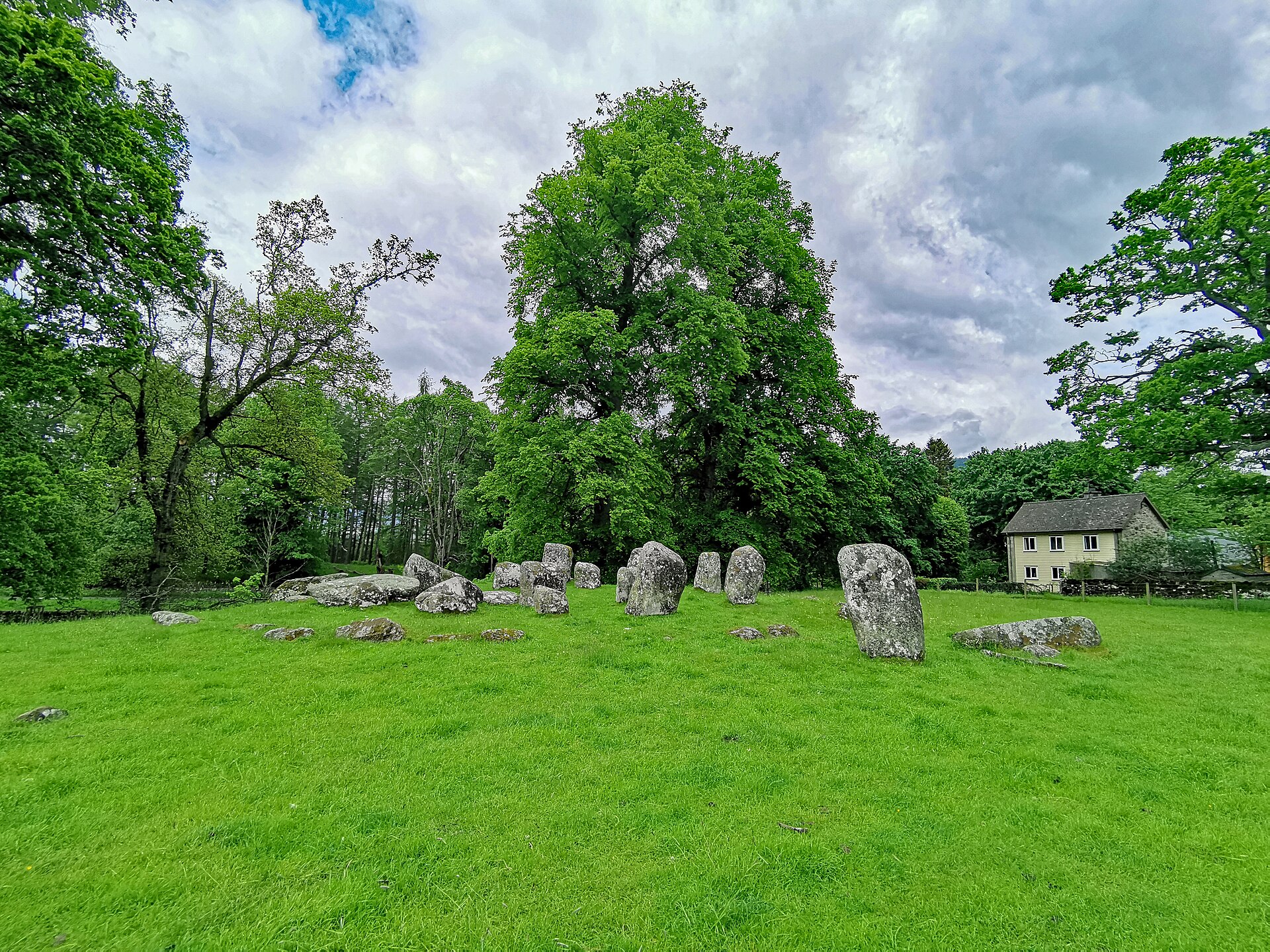
Croft Moraig is a complex multi-phase monument. Excavation in 1965 revealed three phases of construction: first a horseshoe of fourteen timber posts (about 8 m by 7 m) with a central boulder and burnt bone nearby; then the posts were replaced by a horseshoe of 8 standing stones (about 8 m by 6 m) ringed by a stone bank around 17 m across; and finally a circle of 12 standing stones about 12 m in diameter was raised around the horseshoe.
Pottery sherds recovered from phase 2 of the site provided dating evidence pointing to around 2000 BC.
Cultural influences
-
The circle shows several features typical of stone circles in its area: a recumbent stone, graded circle-stones, a south-southwest orientation, quartz pebbles and an outer stony bank.
Discovery & excavation
The monument was excavated in 1965, which established its three structural phases and recovered phase-2 pottery sherds dated to around 2000 BC.
What to look for
-
An outer circle of 12 standing stones, roughly 12 m in diameter, of dark grey schist.
-
An inner horseshoe setting of standing stones enclosed by a stone bank about 17 m across — the earlier phase the outer circle was built around.
-
To the southwest, on top of the bank, a roughly two-metre stone bearing 23 cup marks.
-
On the southeast side, an entrance marked by two external (outlying) stones, with two adjacent graves.
-
Its setting: low ground northeast of Loch Tay, beneath steep mountainsides, beside the A827 between Aberfeldy and Kenmore.
Plan your visit
- Location
- 56.6018°N · 3.9602°W
- Nearest settlement
- Kenmore
- Access
- Visible from a public way
- Terrain
- Easy going
- Start point
- Kenmore village (nearest settlement) (parking unconfirmed) — Stone circle stands immediately beside the A827 between Kenmore and Aberfeldy; no dedicated visitor car park is confirmed. Kenmore is the nearest settlement.
Nearby places
Fortified place · Medieval
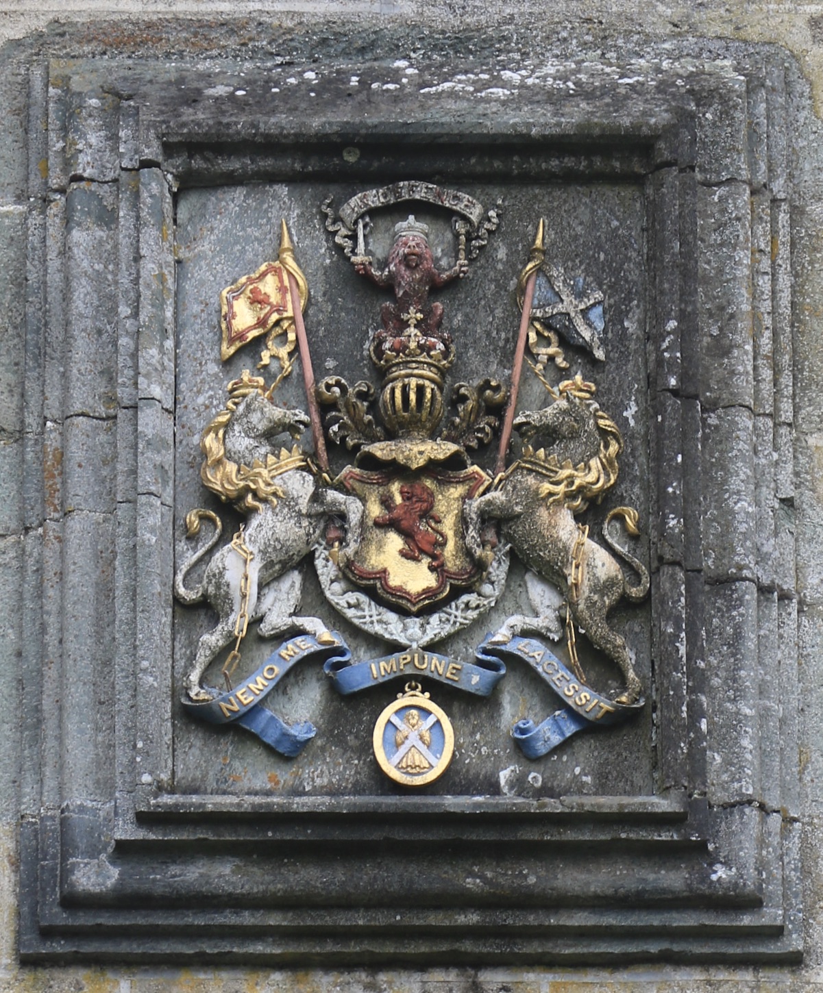
Castle Menzies
Perth and Kinross
It is the ancestral seat of the Clan Menzies and a rare surviving sixteenth-century Z-plan tower house, rescued from decline and restored by the cl…
Ancient tree · Medieval
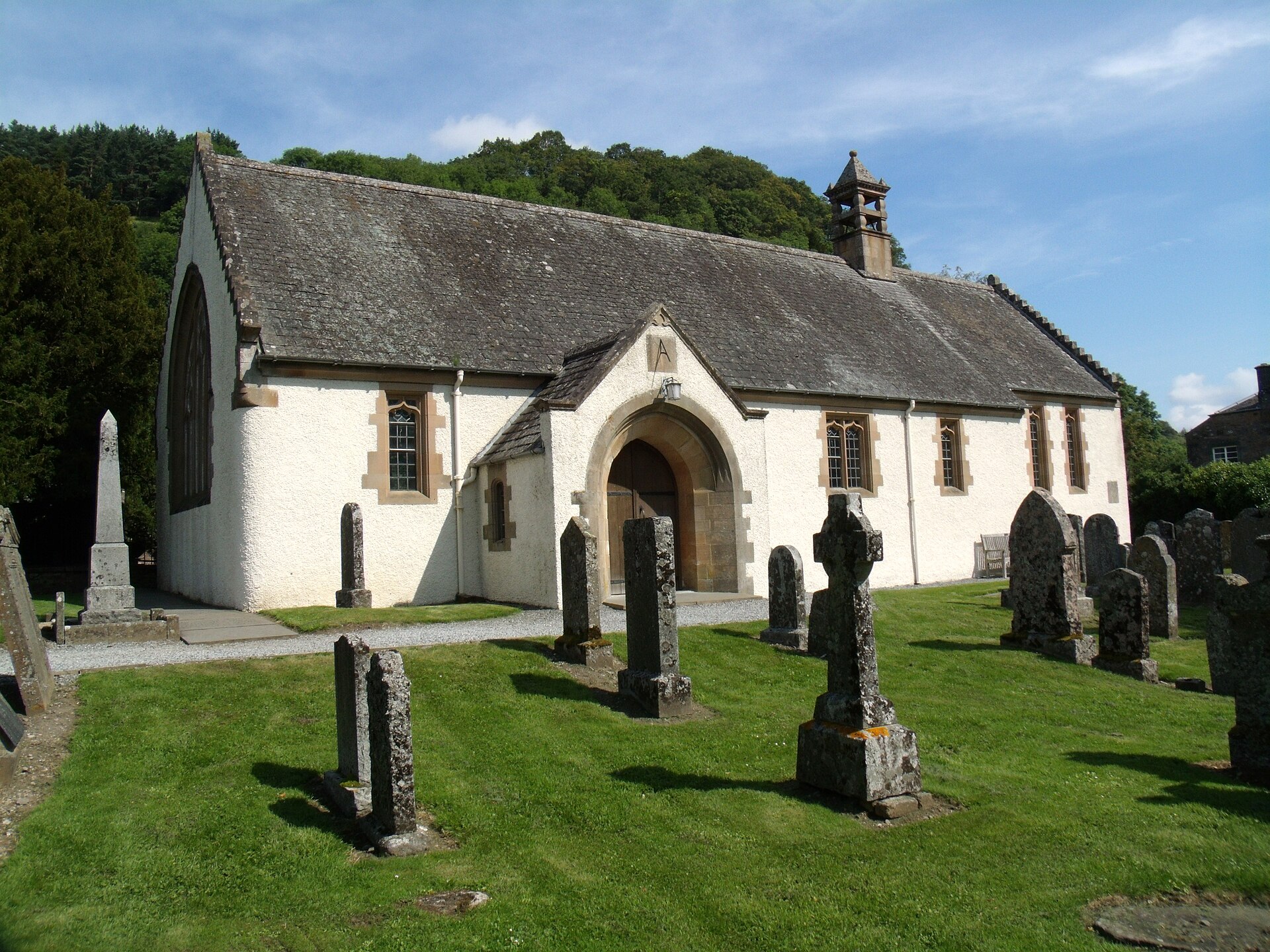
Fortingall Yew
Perth and Kinross
A named, long-standing tree carried in local memory as a landmark — included for its place in the landscape, with age and superlative claims held f…
- Near Fortingall
Fortified place · Medieval
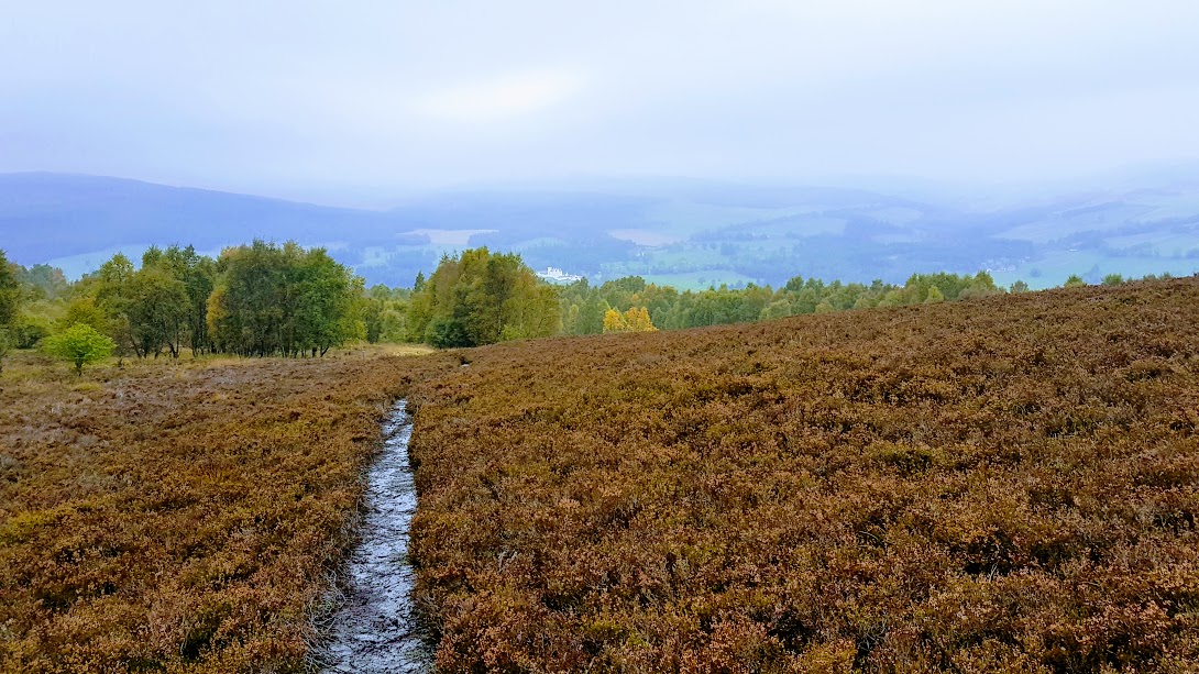
Blair Castle
Perth and Kinross
For over seven centuries Blair Castle has been the stronghold of the Earls and Dukes of Atholl, and it remains home to the Atholl Highlanders, repu…
Ancient tree · Medieval
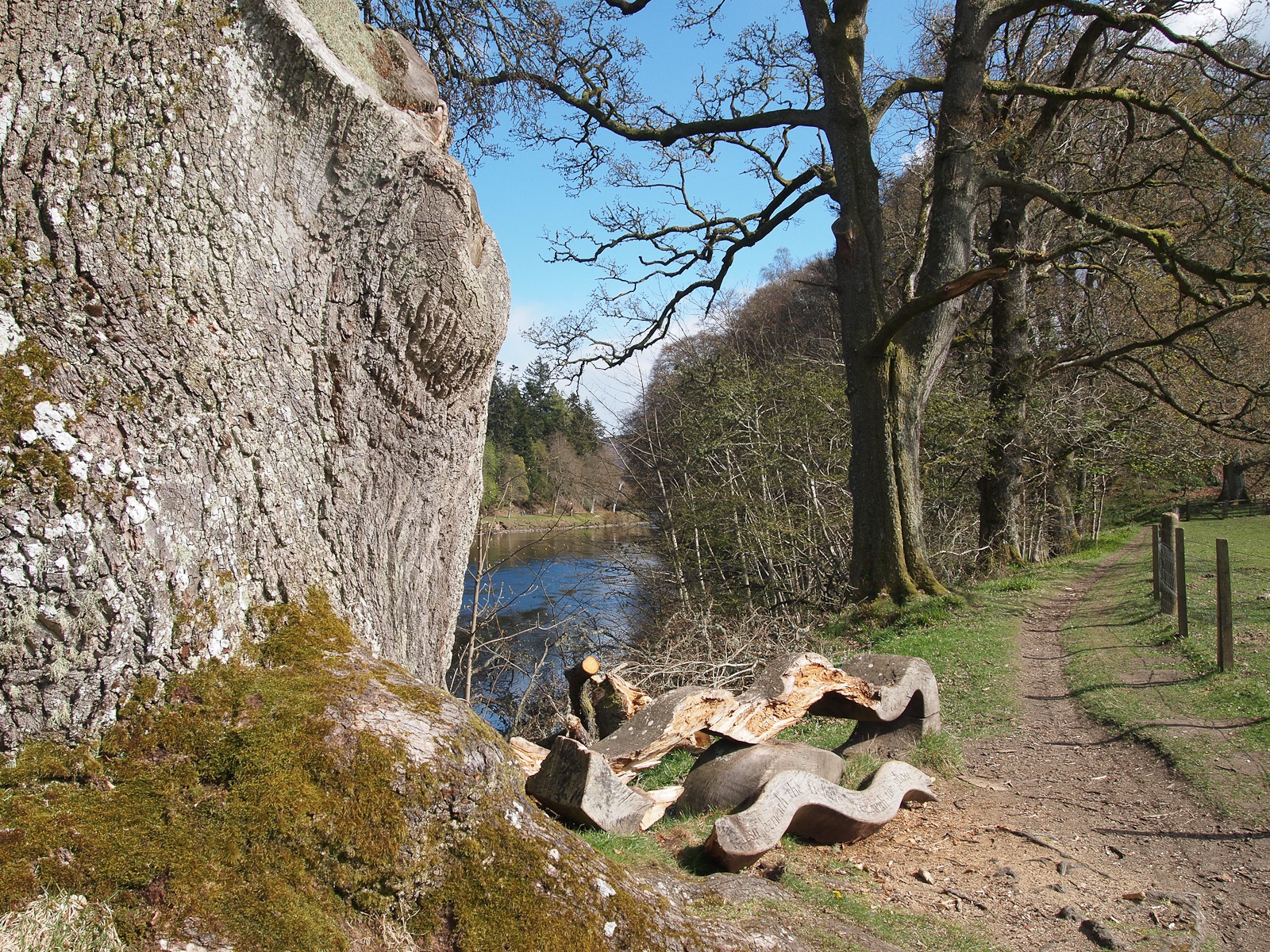
Neil Gow's Oak
Perth and Kinross
A named, long-standing tree carried in local memory as a landmark — included for its place in the landscape, with age and superlative claims held f…
- Near Dunkeld
Sources
- Canmore site record 24891 (accessed 2026-06-13)
- Trove (HES) record (accessed 2026-06-13)
- HES designation SM5024 (accessed 2026-06-13)
- Wikipedia: Croft Moraig Stone Circle (accessed 2026-06-13)
- Wikidata Q1140765 (accessed 2026-06-13)
Explore more: Carved stones · Prehistoric · Perth and Kinross
The Ancient Codex, in your pocket
Get the Pocket Codex app
Carry the directory with you — Croft Moraig Stone Circle and thousands of ancient places across Britain and Ireland, offline, wherever you roam.