
The Calanais Stones are a prehistoric stone circle and stone alignment on a low ridge above Loch Roag on the Isle of Lewis, built during the Neolithic period around c. 2750 BC — pre-dating Stonehenge…
Calanais Standing Stones is a carved stone near Calanais, Outer Hebrides, Scotland.
What follows is drawn from published sources, with each claim labelled by how firmly it is established.
The name
'Calanais' is the local place name of a settlement on the west coast of Lewis; the English 'Callanish/Calanais Stones' is its anglicised form. In Scottish Gaelic the monument is 'Clachan Chalanais' ('the stones of Calanais') or, more specifically, 'Tursachan Chalanais' — 'tursa' (plural 'tursachan') being the standard Gaelic term for prehistoric standing stones, so 'the standing stones of Calanais'. Archaeologists also call the main monument 'Calanais I' to distinguish it from the wider complex.
History
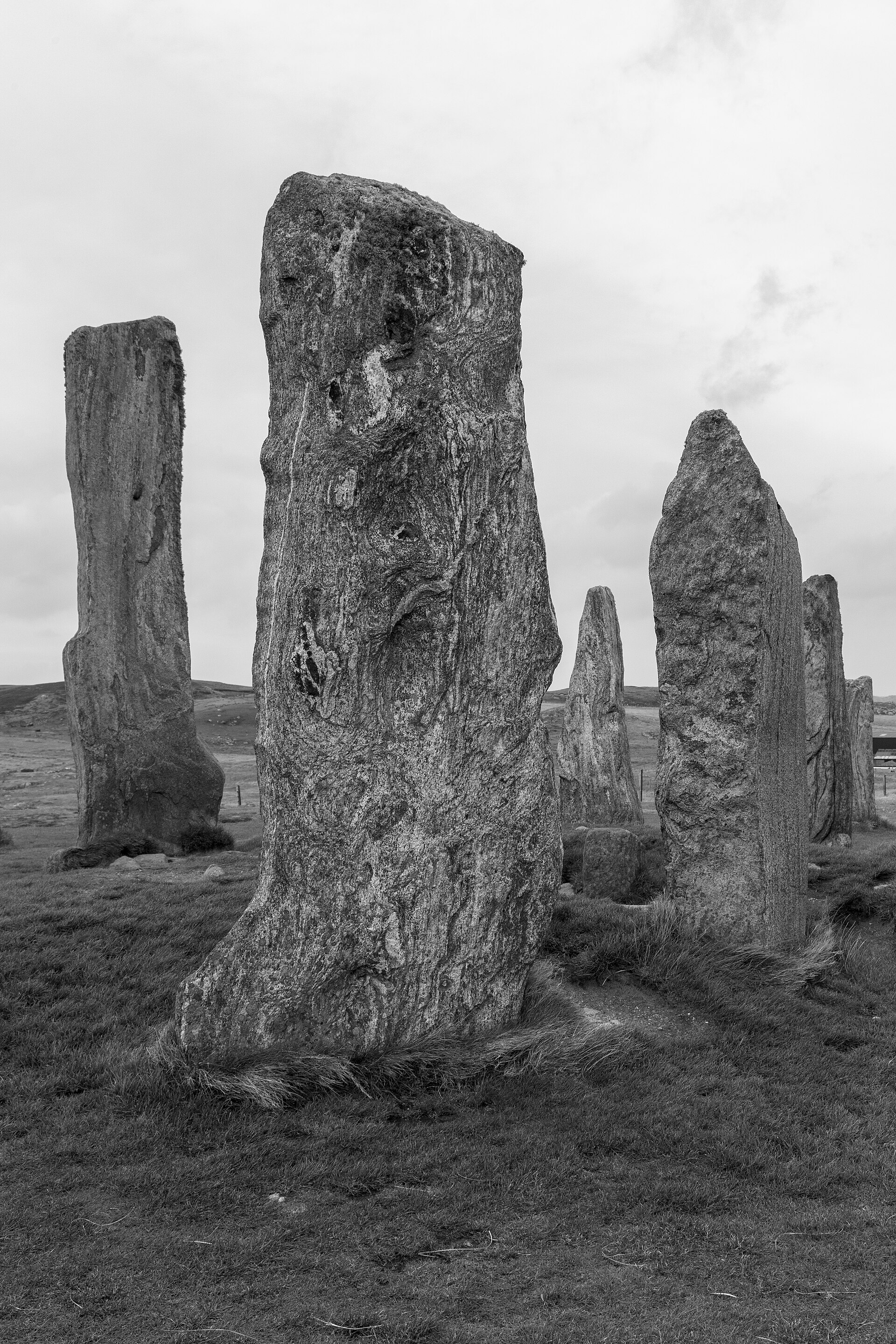
The Calanais Stones are a prehistoric stone circle and stone alignment on a low ridge above Loch Roag on the Isle of Lewis, built during the Neolithic period around c. 2750 BC — pre-dating Stonehenge according to Historic Environment Scotland. A tall central monolith stands within a ring of thirteen stones, with five rows of standing stones radiating outward to create a distinctive cross-shaped layout.
The stone circle was set up between 2900 and 2600 BC; some time afterwards a small chambered tomb was inserted into its eastern part. Pottery fragments — local Hebridean wares, Beaker vessels (c. 2000-1700 BC) and grooved ware — show the tomb was used for several centuries. The existence of many other monuments nearby implies Calanais was an active focus for prehistoric religious activity for at least 1,500 years.
Around 1500-1000 BC the complex fell out of use and was despoiled by later Bronze Age farmers; between 1000 BC and 500 BC the stones were covered by a thick layer of turf and the place is estimated to have been abandoned around 800 BC. The overlying 1.5 metres of peat was only removed in 1857, under the proprietor of Lewis James Matheson, revealing the chambered tomb and the true height of the stones. The stones were taken into state care in 1885.
People
-
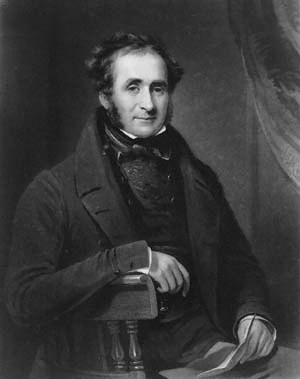
Portrait: Henry Cousins / After James Lonsdale / Wikimedia Commons / Public domain James Matheson
Proprietor of Lewis under whose orders the covering peat was cleared in 1857
-
John Morisone
Lewis native who, around 1680, gave the first written reference to the stones
-
Martin Martin
Visited c. 1695 and recorded the local tradition of the site as a place of worship
-
Alexander Thom and Gerald Hawkins
Suggested the stones functioned as a prehistoric lunar observatory (a contested interpretation)
Cultural influences
-
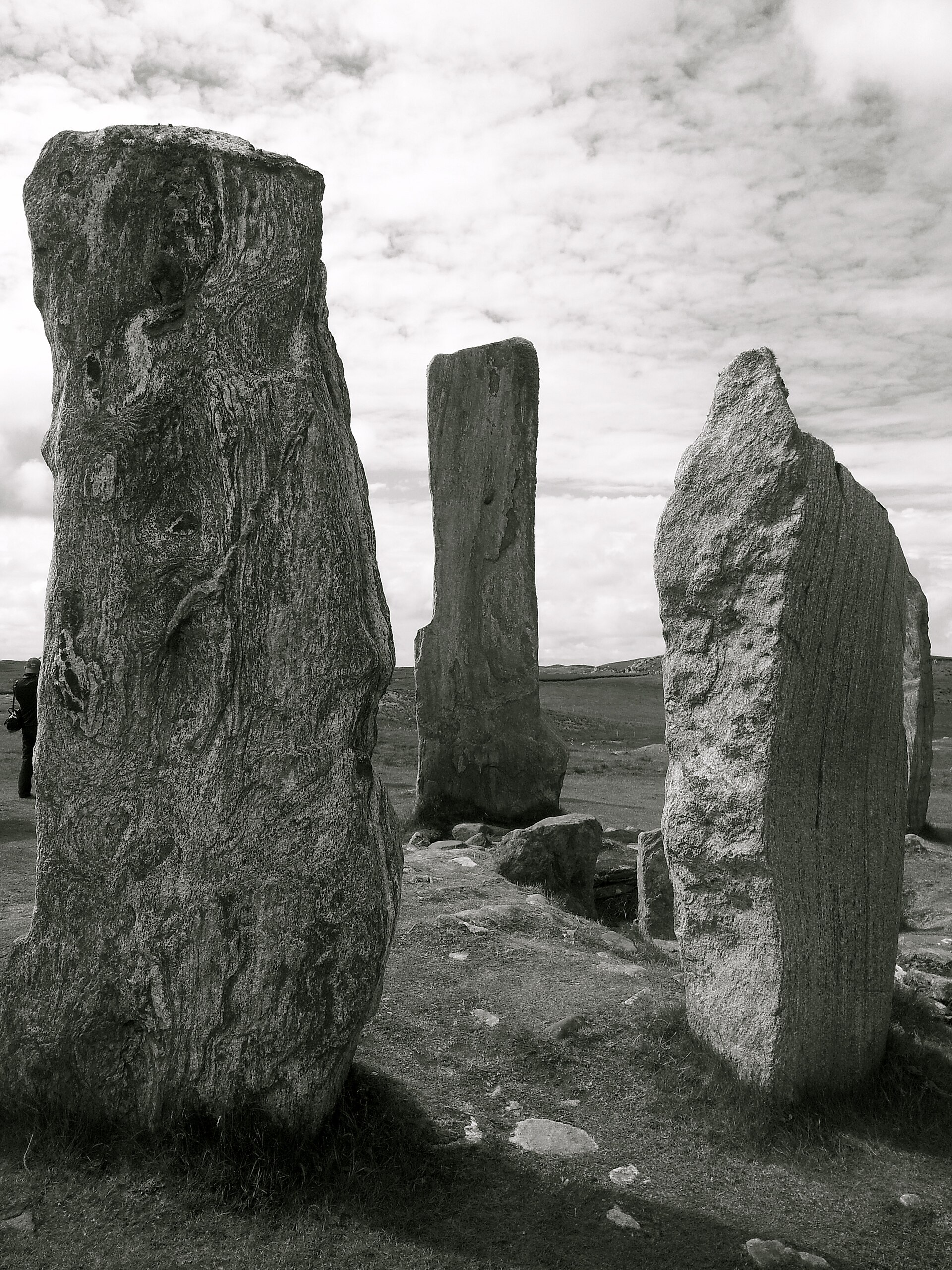
The stones are all of the local Lewisian gneiss, drawn from the immediate geology of the ridge.
-
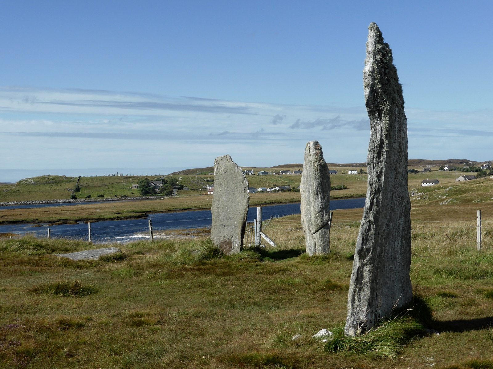
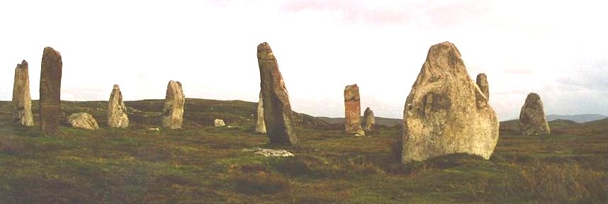
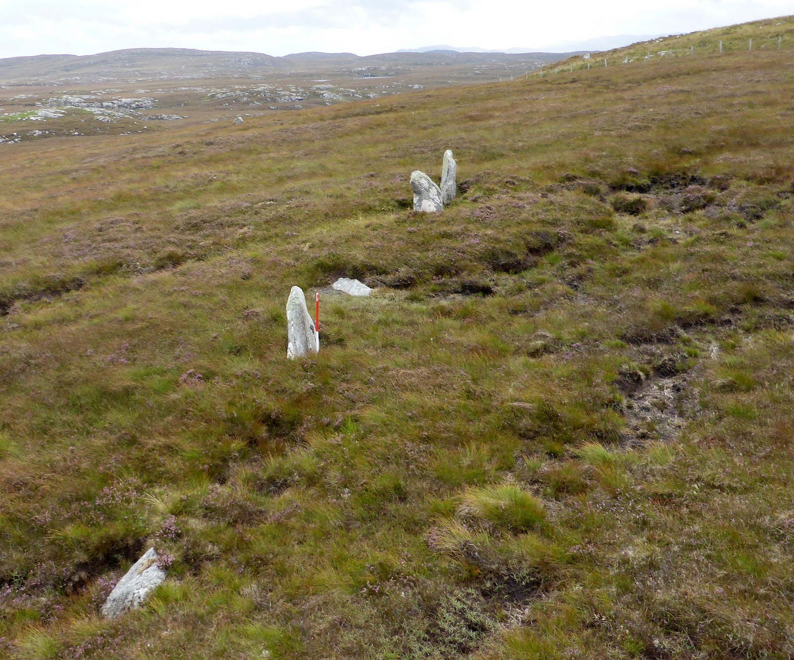
Calanais I is the central site within a wider landscape of prehistoric monuments — at least three other stone circles plus arcs, alignments and single stones — collectively the Calanais complex, marking sustained ceremonial use of the area.
Connections
-
Callanish II (Cnoc Ceann a' Ghàraidh)
Nearby stone circle in the Calanais complex, about a kilometre south-east; some 2.5 times the area of the main ring
-
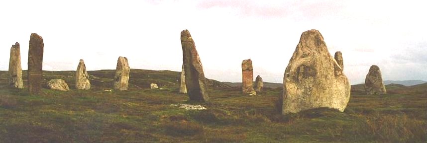
Photo: Tumulus at English Wikipedia / Wikimedia Commons / CC BY-SA 3.0 Callanish III (Cnoc Filibhir Bheag)
Nearby stone circle in the complex, just over a kilometre south-east of the main stones
-
Urras nan Tursachan (The Standing Stones Trust)
Local charitable trust that operates the Calanais Visitor Centre
-
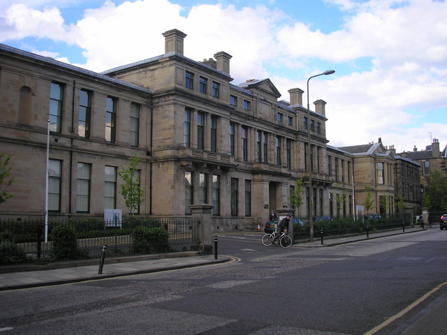
Photo: Sandy Gemmill / Wikimedia Commons / CC BY-SA 2.0 Historic Environment Scotland
Manages and conserves the scheduled monument and surrounding archaeological landscape
Discovery & excavation
The stones were buried under about 1.5 metres of peat until 1857, when it was cleared under James Matheson, revealing the chambered tomb and the true height of the stones. Limited excavations in 1980-1981 traced the development of the site, including an early ditch, the setting-up of the circle between 2900 and 2600 BC, and the later insertion of the chambered tomb, which yielded local Hebridean pottery, Beaker sherds (c. 2000-1700 BC) and grooved ware. Excavations in 1999-2000 to the south found a buried prehistoric field system and stone structures beneath blanket peat, evidence of Late Bronze Age / Early Iron Age farming.
In culture
-
The stones have inspired wide popular culture. Ultravox used an image of them on the cover of the album 'Lament' (1984); Jon Mark released 'The Standing Stones of Callanish' (1988); they appear on the cover of Julian Cope's 'Jehovahkill' (1992). The Dutch band Callenish Circle took their name from the monument.
-
On screen, Pixar's 'Brave' (2012) features stone circles inspired by Callanish, and the TV series 'Outlander' (2014) uses the stones as the model for the fictional time-travel circle Craigh na Dun. The stones also appear in novels and on Bank of Scotland debit cards.
-
Sculptor Gerald Laing created 'Callanish' (1974) for the University of Strathclyde — sixteen upright steel girders echoing the stones, popularly known as 'Steelhenge'.
What to look for
-
The central monolith — a roughly ship's-rudder-shaped stone about 4.8 metres high, standing just west of the true centre of the ring and probably weighing around seven tonnes.
-
The ring of thirteen stones (about 11.4 metres diameter, flattened on its east side) with five stone rows radiating from it, including the long northern avenue of two near-parallel rows running about 83 metres north-northeast.
-
The small chambered tomb squeezed between the central monolith and the eastern stones of the circle, built later than the ring.
-
The wider Calanais complex visible across the moorland around Loch Roag — other circles, arcs, alignments and single stones, many visible from the main site.
What is said
Folklore and tradition, recorded as what is said — not as established fact.
-
According to one tradition the Calanais Stones were petrified giants who would not convert to Christianity; in the 17th century the people of Lewis called the stones 'fir bhrèige' ('false men'). (tradition / legend)
-
Another legend holds that early on midsummer morning an entity known as the 'Shining One' walks the length of the avenue, his coming heralded by the call of the cuckoo. (legend)
-
Around 1695 local people told Martin Martin the site 'was a place appointed for worship in the time of heathenism', and that the chief druid stood near the central stone — an early antiquarian druidic interpretation later elaborated by John Toland (1726) and William Stukeley (1743). (antiquarian tradition / interpretation)
Standing there
- The stones stand on a low ridge above the waters of Loch Roag, with the hills of Great Bernera as a backdrop, so the setting is one of wide Hebridean sky, open moorland and water on the exposed west coast of Lewis — wind, distant sea and birdsong are the ambient sound.
- Up close the monoliths are tall slabs of weathered Lewisian gneiss, among the oldest rock in the world: the surfaces are banded grey, silvery and streaked, rough and lichen-crusted to the touch, with the tallest central monolith rising well above head height at the heart of the cross-shaped setting.
- Walking in, you pass between rows of standing stones that funnel toward the central circle, so the experience is processional — the avenue and radiating alignments channel your movement and sightlines through the monument rather than letting you simply stand outside it.
- In the Neolithic, around 2750 BC, gathering here meant the same vast open horizon used as a backdrop for the moon and sun: the site sat within a wider complex of circles and alignments visible across the landscape, and ceremonies would have unfolded under the full sweep of the Hebridean sky against Loch Roag and the hills.
- At its lowest southern rising the moon would have skimmed along the far hills and, seen from the stones, appeared to set into and rise again from the landscape — a rare lunar spectacle the ridge-top siting seems chosen to frame, which would have drawn watchers to the circle at particular times of year.
Plan your visit
- Location
- 58.1976°N · 6.7451°W
- Nearest settlement
- Calanais
- Access
- Reached on a public path
- Terrain
- Easy going
- Parking
- Parking available nearby — see the official getting-here page.
- Start point
- 12m west of Stornoway off the A859, Isle of Lewis.
- Best time
- Visitor Centre (owned and managed by Urras Nan Tursachan): The Calanais Visitor Centre is **closed until 2026** to allow for major redevelopment. Calanais Standing Stones are free to visit and open year-round. The Calanais Visitor Centre is closed until 2026 to allow for major redevelopment.
- Start point
- Calanais Standing Stones car park — HES: 'a small surfaced car park next to the standing stones.' Parking severely restricted and no coach access during the visitor-centre redevelopment (reopening 2026); stay strictly to the paths.
Opening & admission
Free entry
- Visitor Centre (owned and managed by Urras Nan Tursachan): The Calanais Visitor Centre is **closed until 2026** to allow for major redevelopment.
- Calanais Standing Stones are free to visit and open year-round.
- The Calanais Visitor Centre is closed until 2026 to allow for major redevelopment.
Nearby places
Sources
- Canmore site record 4156 (accessed 2026-06-13)
- Wikipedia: Callanish Stones (accessed 2026-06-13)
- Wikidata Q3242938 (accessed 2026-06-13)
Explore more: Carved stones · Prehistoric · Outer Hebrides
The Ancient Codex, in your pocket
Get the Pocket Codex app
Carry the directory with you — Calanais Standing Stones and thousands of ancient places across Britain and Ireland, offline, wherever you roam.