
A shallow freshwater loch near Kirkwall holds archaeology on its shores and in its lowered waterline. Loch of Tankerness is a lowland Orkney loch with broch (an Iron Age drystone round tower) remains, the remains of an Iron Age drystone round tower, a burnt mound, a heap of fire-cracked stones from repeated heating, a Bronze Age structure, and recorded finds from drought-exposed ground.
The archaeology sits alongside later water infrastructure and wildlife history. A broch stands on a south-western promontory, while the eastern shore produced a burnt mound, an oval slab-built structure, and artefacts retrieved when drought lowered the loch in 1980.
What follows is drawn from published sources, with each claim labelled by how firmly it is established.
History
Loch of Tankerness is a large, shallow freshwater loch on Orkney Mainland. The remains of a broch stand on a short promontory on the south-west shore. The broch is thought to be the Howie of the Manse.
A burnt mound stands at the edge of the loch on the eastern shore. Beside the burnt mound is a Bronze Age structure presumed to be a house. The Bronze Age structure is formed from erect slabs and a slab floor in an oval plan.
During the drought of 1980 the loch level dropped, exposing more of the house and allowing it to be recorded. Artefacts recovered from the loch in 1980 included the point of an early plough. A filter room and pump house on the eastern shore were built in the late nineteenth century and later changed from oil-engine power to a windpump.
The Greenland white-fronted goose was once regularly found there in winter, but numbers declined sharply after 1974-75. R. C. Marshall surveyed the loch in 1903 as part of Sir John Murray’s bathymetrical survey.
People
-
R. C. Marshall
surveyed the loch in 1903.
-
Sir John Murray
led the wider bathymetrical survey in which the loch was charted.
What to look for
-
Promontory broch site
Broch remains stand on the south-west shore.
-
Eastern-shore archaeology
The burnt mound and slab-built Bronze Age structure are recorded beside the loch.
Plan your visit
- Location
- 58.9683°N · 2.8436°W
- Access
- Visible from a public way
- Terrain
- Easy going
Opening & admission
The source pack does not provide reliable current admission details; verify before travelling.
- The archaeology is around the loch shore; the pack gives no formal visitor access details.
Nearby places
Sacred place · Medieval
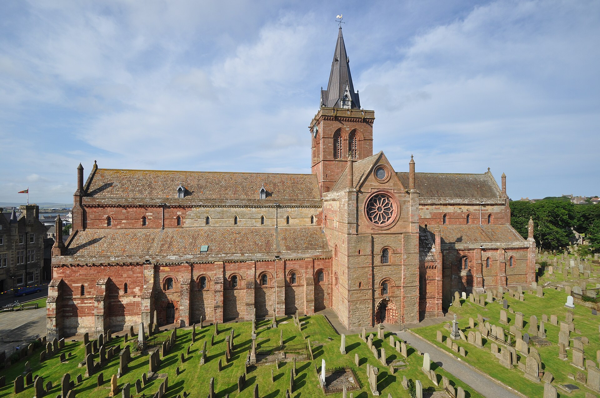
St Magnus Cathedral, Kirkwall
Orkney Islands
As the only wholly medieval cathedral surviving in Scotland, it preserves nearly nine centuries of Norse and Scottish religious history in remarkab…
Questions people ask
- What archaeology is at Loch of Tankerness?
- The pack records broch remains, a burnt mound, and a Bronze Age slab-built structure.
- What was exposed in 1980?
- A drought lowered the water and further exposed the Bronze Age house, allowing it to be recorded.
- What find came from the loch?
- Artefacts retrieved in 1980 included the point of an early plough.
- What wildlife history is noted?
- Greenland white-fronted geese once wintered there regularly, but numbers declined after 1974-75.
Sources
Explore more: Fortified places · Iron Age · Orkney Islands
The Ancient Codex, in your pocket
Get the Pocket Codex app
Carry the directory with you — Loch of Tankerness and thousands of ancient places across Britain and Ireland, offline, wherever you roam.