
Defensive earthworks cut a small North Ronaldsay headland off from the land behind. The Broch (an Iron Age drystone round tower) of Burrian is an Iron Age broch, a round drystone tower settlement, whose later use produced important Pictish and early Christian finds.
William Traill’s nineteenth-century excavation revealed more than a broch shell. Worked bone objects, painted pebbles, an Ogham cross-slab with an early medieval inscription, part of a Celtic-type iron bell, and a Pictish house show that the site continued to matter long after its Iron Age beginning.
What follows is drawn from published sources, with each claim labelled by how firmly it is established.
History
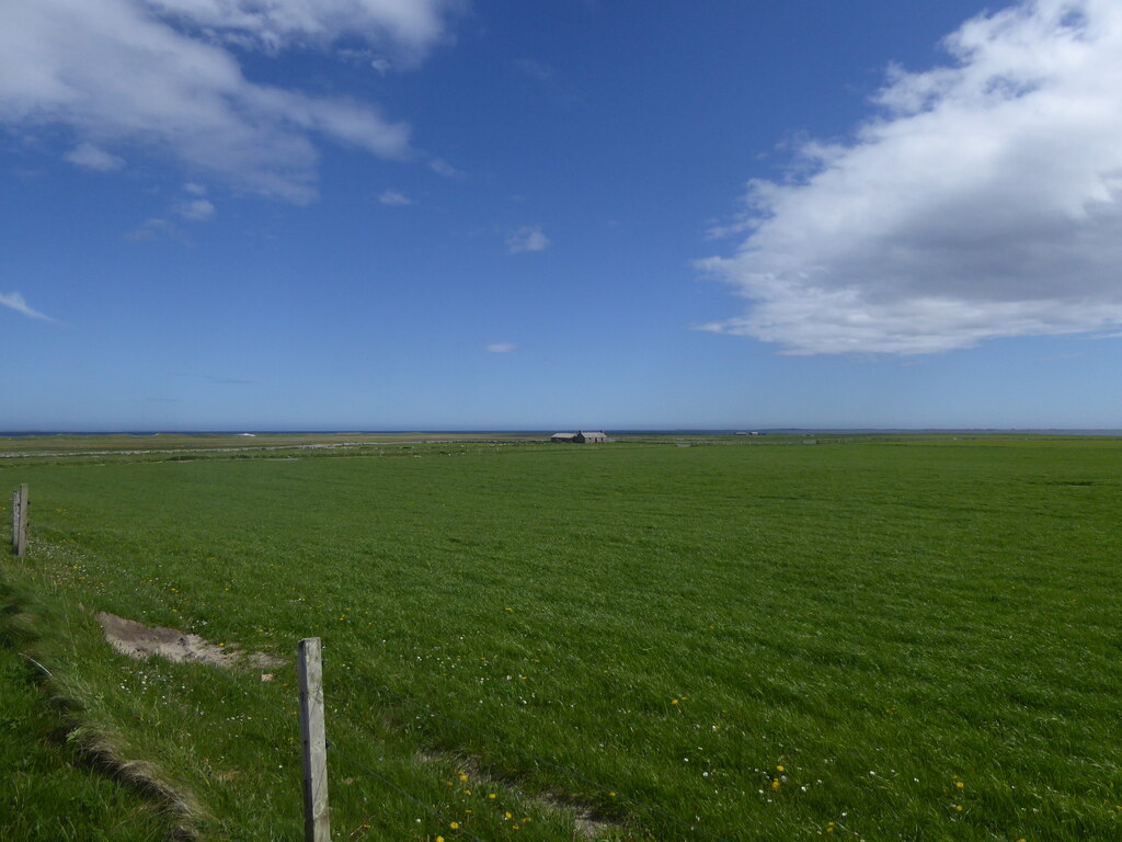
The Broch of Burrian stands on the southern tip of North Ronaldsay. It occupies a small headland beside a rocky shoreline.
A series of defensive earthworks separates the broch from the hinterland. The broch has solid walls and an entrance passage on the south-east side.
Four concentric ramparts survive on the landward side. William Traill excavated the broch in 1870 and 1871.
The excavation recovered many artefacts, including a significant quantity of worked bone objects. Early historic or Pictish finds included a cross-slab with Ogham inscription, painted pebbles, and part of a Celtic-type iron bell.
A Pictish house was uncovered to the north-east side of the broch. The evidence suggests two Iron Age occupation phases, with the second turning the broch into a wheelhouse-like form.
Pictish elements among the finds run as late as the seventh to ninth centuries AD. The cross-slab and iron bell suggest early Christian activity, though not necessarily a monastic settlement.
People
-
William Traill
island proprietor who excavated the broch in 1870 and 1871.
What to look for
-
Landward ramparts
Four concentric ramparts defend the headland side.
-
Later settlement traces
A Pictish house was found near the broch.
Plan your visit
- Location
- 59.3481°N · 2.4189°W
- Access
- Open access
- Terrain
- Rough ground — reasonable boots advised
Opening & admission
The source pack does not provide reliable current admission details; verify before travelling.
- The broch is on a small headland beside a rocky shoreline on North Ronaldsay.
Nearby places
Tomb or burial place · Prehistoric
Quoyness Chambered Cairn
Orkney Islands
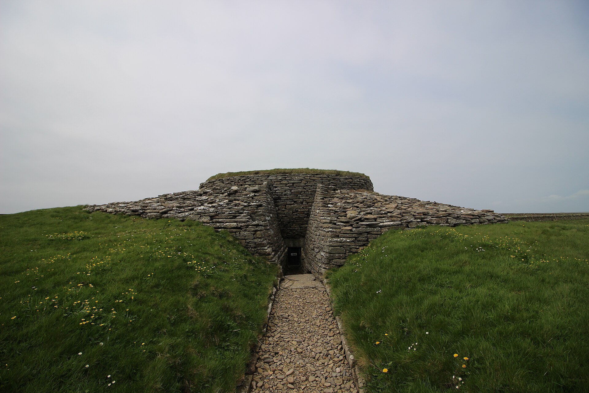
Quoyness is a Neolithic chambered cairn on the Elsness peninsula of Sanday, Orkney, of the Maeshowe type and probably built around 3000 BC. Origina…
- Near Sanday
- 20 min walk from car park
- Easy path
Questions people ask
- What is the Broch of Burrian?
- It is an Iron Age broch on North Ronaldsay in Orkney.
- What makes the finds important?
- The site produced Pictish and early Christian objects, including an Ogham cross-slab, painted pebbles, and part of an iron bell.
- Was it used after the Iron Age?
- Yes. Pictish elements among the finds suggest activity as late as the seventh to ninth centuries AD.
- Where are the finds now?
- The pack says the finds are now in the National Museum of Scotland.
Sources
Explore more: Fortified places · Iron Age · Orkney Islands
The Ancient Codex, in your pocket
Get the Pocket Codex app
Carry the directory with you — Broch of Burrian and thousands of ancient places across Britain and Ireland, offline, wherever you roam.