
A vast rectangular trace in the fields east of Keith marks one of Rome’s northern campaign camps. Muiryfold was a Roman marching camp, a temporary military enclosure, associated in the source with Septimius Severus’s push into northern Caledonia.
The site matters because it belongs to the far northern edge of Roman campaigning in Scotland. Discovered from the air and tested by trenches in 1959, Muiryfold sits near Auchinhove and helps frame the debate about how far Roman forces reached around the Moray Firth.
What follows is drawn from published sources, with each claim labelled by how firmly it is established.
The name
Caledonia was the Roman name for northern Britain beyond the main province of Britannia.
History
Muiryfold was one of the Roman fortifications built by Septimius Severus in northern Caledonia.
The site lies east of Keith in Moray.
It was discovered by aerial photography in 1959.
Kenneth St Joseph excavated two small trenches across the north-west and south-east sides in the same year.
The almost rectangular camp covered just over 41 hectares.
The source links the camp with Severus's campaign in AD 210 and notes nearby debate about other possible northern Roman sites.
People
-
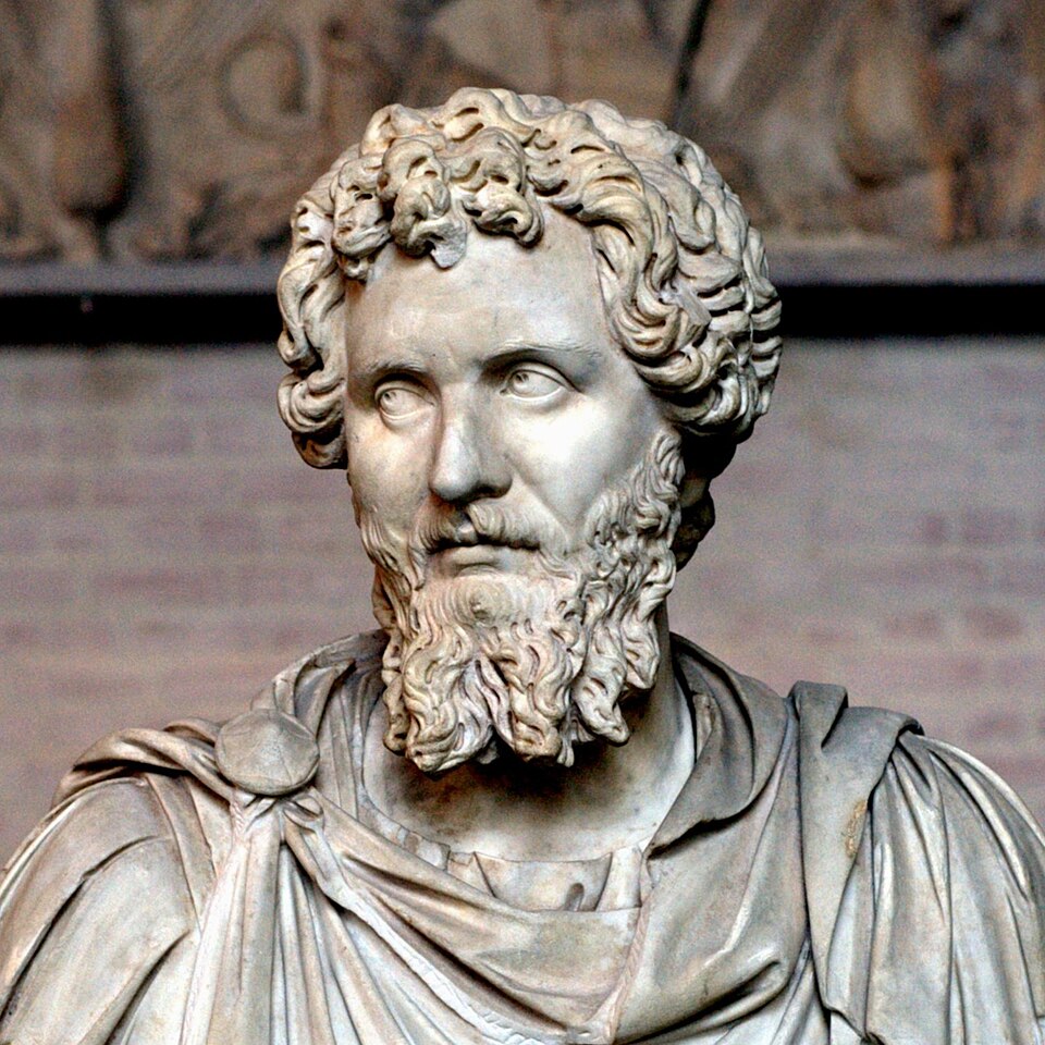
Portrait: Unknown / Wikimedia Commons / Public domain Septimius Severus
Roman emperor associated with the campaign that created the Muiryfold marching camp.
-
Kenneth St Joseph
Archaeologist who trenched the site after its aerial discovery in 1959.
-
Agricola
Roman commander associated in the source with an earlier nearby camp at Auchinhove.
What to look for
-
Aerial-plan camp
Muiryfold was identified from aerial photography, so its plan is an archaeological cropmark story rather than a standing ruin story.
-
Large rectangular footprint
The camp's scale points to a major temporary military enclosure.
-
Keith-area Roman cluster
Its proximity to Auchinhove places it within a local pattern of Roman marching-camp evidence.
-
Severan campaign context
The camp is linked with Septimius Severus's northern campaign toward the Moray Firth.
Plan your visit
- Location
- 57.5528°N · 2.8600°W
- Access
- Open access
- Terrain
- Moderate walking
Opening & admission
- Large Roman marching-camp site identified by aerial photography.
- The source does not confirm visible remains or public access.
Nearby places
Fortified place · Medieval
Huntly Castle
Aberdeenshire
Its ruined palace preserves some of the finest heraldic stone carving in Scotland alongside six centuries of the Gordon family's turbulent history.
Questions people ask
- What was Muiryfold?
- It was a Roman marching camp east of Keith in Moray.
- Who was Septimius Severus?
- He was a Roman emperor whose northern Caledonian campaign is linked with Muiryfold in the source.
- How was Muiryfold discovered?
- It was discovered by aerial photography in 1959.
- Was it excavated?
- Yes. Kenneth St Joseph excavated two small trenches across two sides in 1959.
- How big was the camp?
- The source records an almost rectangular camp covering just over 41 hectares.
Sources
Explore more: Fortified places · Roman · Moray
The Ancient Codex, in your pocket
Get the Pocket Codex app
Carry the directory with you — Muiryfold and thousands of ancient places across Britain and Ireland, offline, wherever you roam.