
Two concentric stone ramparts enclosing some four hectares — a community of real significance, not a watching post.
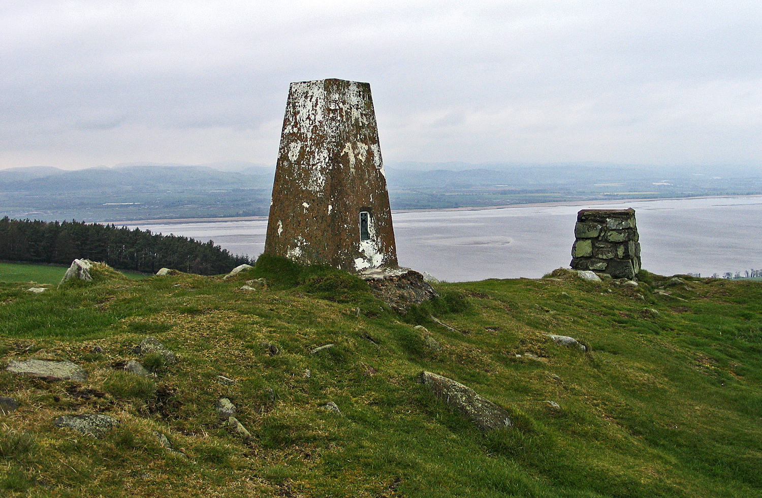
The hill rises sharply from the flat farmland of north Fife, and the wind on the summit carries the same line of weather that the people who built the ramparts here would have known. From the top, the Firth of Tay opens out below, the Lomond Hills sit purple on the southern horizon, and the long views explain immediately why this place was chosen.
Norman’s Law is one of the most substantial Iron Age hillforts in eastern Scotland. The summit was enclosed by two concentric stone ramparts that survive as low banks today, with a series of hut circles visible on the inner plateau when grass is short. The defended area extends across some four hectares — larger than most Fife hillforts and on a scale that suggests a community of real significance, not just a watching post.
What we know
Construction is dated broadly to the late Bronze Age or early Iron Age, with active use likely continuing into the Roman period. The site has not been comprehensively excavated, so much of what’s understood comes from surface survey, geophysics, and comparison with other east-coast hillforts that have been dug. Pottery sherds and metalwork fragments have been recovered from the slopes over the years, consistent with sustained occupation rather than refuge use only.
The ramparts themselves are dry-stone construction, originally probably 2–3 metres high with timber lacing — now reduced by centuries of stone-robbing and weather to grass-covered banks that follow the natural contours. The two enclosures share a single eastern entrance with what appear to be guard chambers built into the wall thickness, a defensive arrangement well-documented at comparable forts further north.
The interior preserves at least twelve identifiable house platforms — circular depressions where roundhouses once stood. Spacing and size suggest a settled community, not a temporary garrison. Some platforms show signs of repeated rebuilding, hinting at long occupation across generations.
What is said
Local tradition associates the hill with Vikings, hence the name “Norman” — though the dating is wrong by a thousand years and the etymology is contested. More plausibly, “Norman” derives from an earlier landowner’s name attached to the law (an old Scots word for a rounded hill). The Viking story is the kind of folk explanation that fills the silence left by the people who actually built the place.
A separate tradition holds that the hill was a meeting place for the local thanage in early medieval times — a hand-down memory, possibly, of a much older central function.
What to see now
The summit ramparts are clearly visible from the path, even when grass is long. Walk the inner enclosure perimeter to trace both wall lines. The eastern entrance is the most legible defensive feature — stand inside the gap and look out, and the constriction of the approach makes immediate sense.
On a clear day, identify the line of sight to other Fife hillforts: Dunearn Hill to the south-west, the Lomond Hills, and (on the very clearest days) the East Lomond’s distinctive bump. These places were almost certainly in active visual communication.
The wildflowers on the upper slopes in early summer — tormentil, harebell, milkwort — sit in unimproved grass that has probably never been ploughed.
What follows is drawn from published sources, with each claim labelled by how firmly it is established.
Timeline
- Late Bronze Age – early Iron Age
- Construction is dated broadly to this horizon, with the summit enclosed by two concentric dry-stone ramparts, probably originally 2–3 metres high with timber lacing.
- Iron Age and Roman period
- Active use likely continued into the Roman period; pottery sherds and metalwork fragments from the slopes are consistent with sustained occupation rather than refuge use only.
- Early medieval tradition
- A separate tradition holds that the hill was a meeting place for the local thanage — a hand-down memory, possibly, of a much older central function.
Plan your visit
- Location
- 56.3942°N · 3.0894°W
- Nearest settlement
- Luthrie
- Access
- Reached on a public path
- Terrain
- Rough ground — reasonable boots advised
- Parking
- Park considerately at the foot of the track east of Luthrie — limited verge space, no formal car park.
- Start point
- The track running east from Luthrie village towards the hill.
- Time needed
- About 90 minutes
- Facilities
- No facilities on the hill; nearest services are in nearby villages.
Nearby places
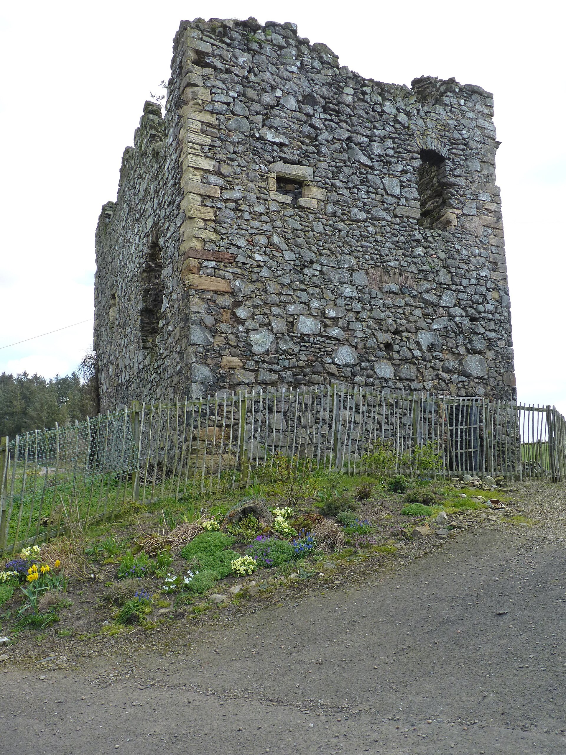
Minor monument · Medieval
Dovecot, Creich Castle
Fife
Dovecote with HES-listed pre-1800 evidence (1723).
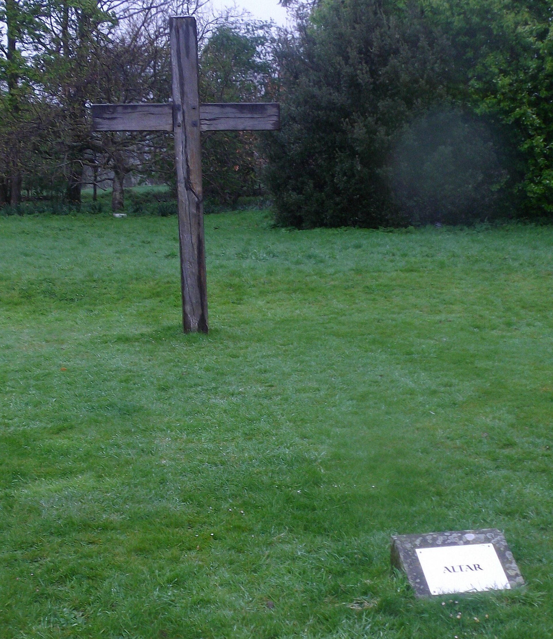
Building or ruin · Medieval
Balmerino Abbey
Fife
It is the ruined shell of a royal Cistercian foundation, established from Melrose in the 1220s under the patronage of Ermengarde de Beaumont, queen…
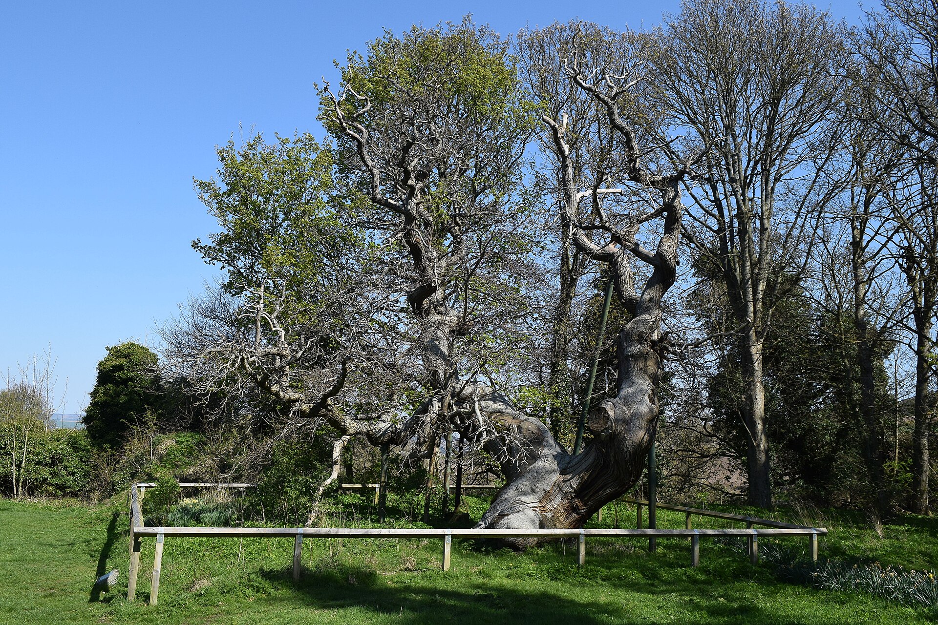
Ancient tree · Medieval
The Balmerino Sweet Chestnut
Fife
A named, long-standing tree carried in local memory as a landmark — included for its place in the landscape, with age and superlative claims held f…
- Near Balmerino
Sources
- Canmore: Norman's Law, site record 30432 (accessed 2026-06-12)
- Historic Environment Scotland: Scheduled Monument SM2841 (accessed 2026-06-12)
- Wikipedia: Norman's Law (accessed 2026-06-12)
Explore more: Fortified places · Iron Age · Fife
The Ancient Codex, in your pocket
Get the Pocket Codex app
Carry the directory with you — Norman's Law Hillfort and thousands of ancient places across Britain and Ireland, offline, wherever you roam.