
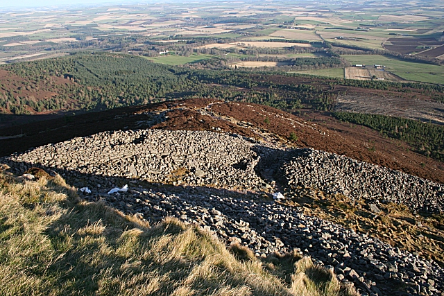
Mither Tap rises sharply from the Aberdeenshire skyline, with an Iron Age fort on its summit and paths climbing from the woods below. Bennachie is a hill range whose most distinctive top carries a hillfort, a defended hilltop enclosure.
The range is also a lived landscape: nineteenth-century colonists farmed and worked common land on the eastern side, walkers now follow marked routes, and local conservation groups help care for the archaeology and environment.
What follows is drawn from published sources, with each claim labelled by how firmly it is established.
History
Bennachie dominates the local skyline because it rises prominently from relatively flat surrounding land. Mither Tap has an Iron Age hillfort on its summit.
The Mither Tap fort shows no signs of vitrification in the stone, unlike some other hilltop forts. From 1800 to 1859 common land on the east side supported a squatter community known as the Colony.
The Colony declined after 1859 when the common land was divided among local estates. George Esson, the last of the original colonists, lived on the hill until his death in the 1930s.
Christian Maclagan surveyed and excavated at Mither Tap in 1876 and 1881. The University of Aberdeen Northern Picts Project excavated at Mither Tap in 2019.
The Bailies of Bennachie were founded in 1973 and received an RSPB Scotland award in 2023.
People
-
Christian Maclagan
early Scottish archaeologist who surveyed and excavated Mither Tap.
-
George Esson
last of the original Bennachie colonists.
-
Bailies of Bennachie
volunteer conservation charity active on the hill.
Plan your visit
- Location
- 57.2927°N · 2.5624°W
- Access
- Open access
- Terrain
- Rough ground — reasonable boots advised
Opening & admission
The source pack does not provide reliable current admission details; verify before travelling.
- The pack describes marked paths, car parks, a visitor centre, and fairly easy ascents, but summit terrain is still upland.
Nearby places
Carved stone · Pictish & early medieval
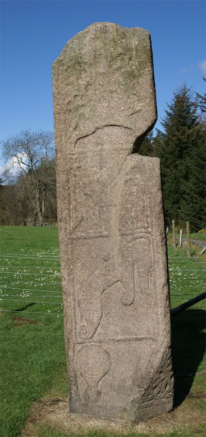
Maiden Stone
Aberdeenshire
The cross-slab was carved probably in the late 8th or early 9th century AD as a Class II Pictish monument, combining Christian and pre-Christian Pi…
- Near Inverurie
- 1 min walk from car park
- Easy path
Minor monument · Medieval
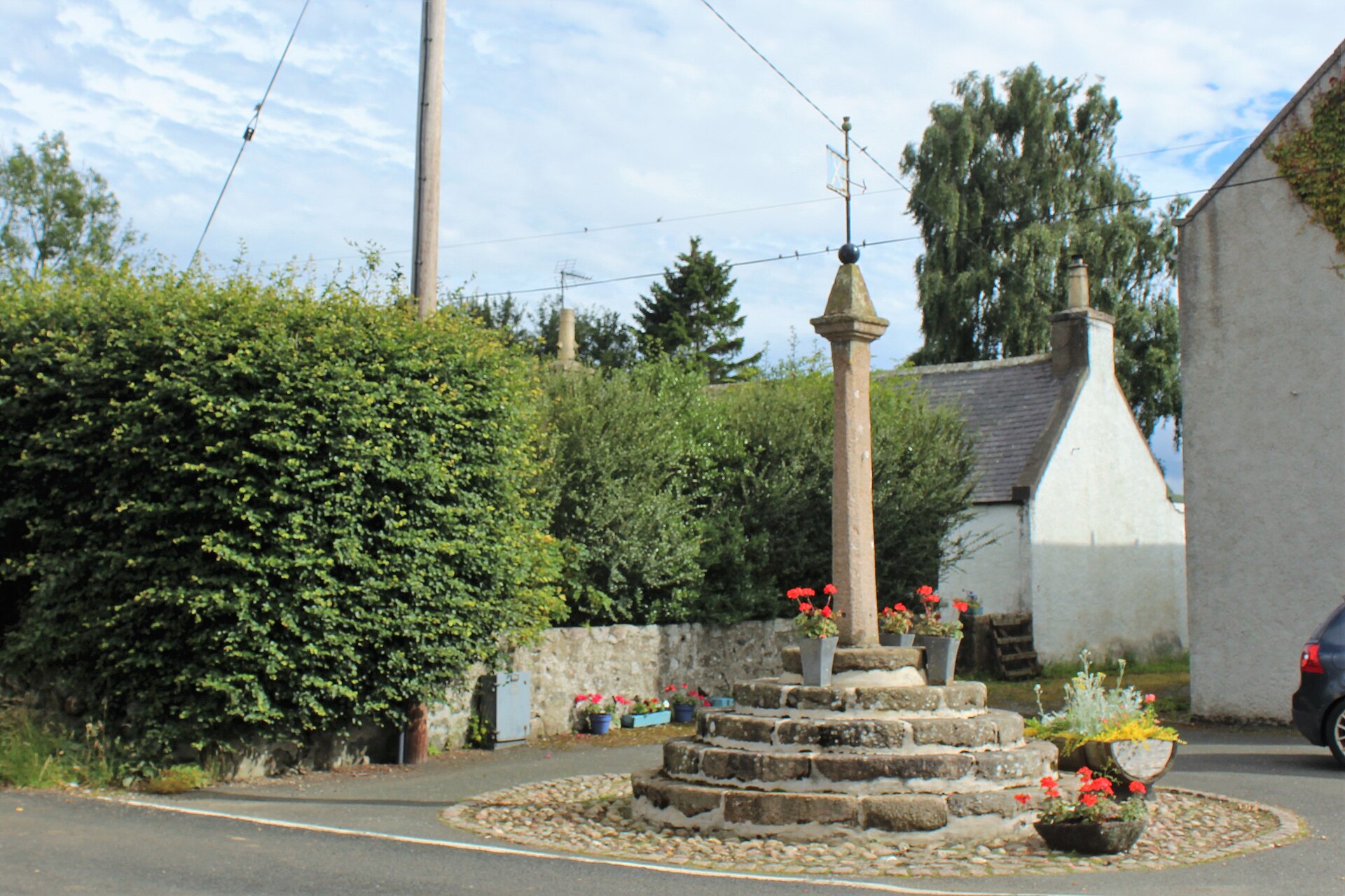
Market Cross, Old Rayne
Aberdeenshire
Mercat cross with HES-listed pre-1800 evidence (1492).
- Easy path
Questions people ask
- What is Bennachie?
- It is a range of hills in Aberdeenshire, with an Iron Age hillfort on Mither Tap.
- What is a hillfort?
- A hillfort is a defended hilltop enclosure, usually using banks, walls, ditches, or steep natural slopes.
- Who were the Bennachie Colonists?
- They were families who lived and worked on common land on the east side of Bennachie between 1800 and the later nineteenth century.
- Can people walk there?
- Yes. The pack describes marked paths, car parks, a visitor centre, and routes maintained by Forestry and Land Scotland.
Sources
Explore more: Fortified places · Iron Age · Aberdeenshire
The Ancient Codex, in your pocket
Get the Pocket Codex app
Carry the directory with you — Bennachie and thousands of ancient places across Britain and Ireland, offline, wherever you roam.